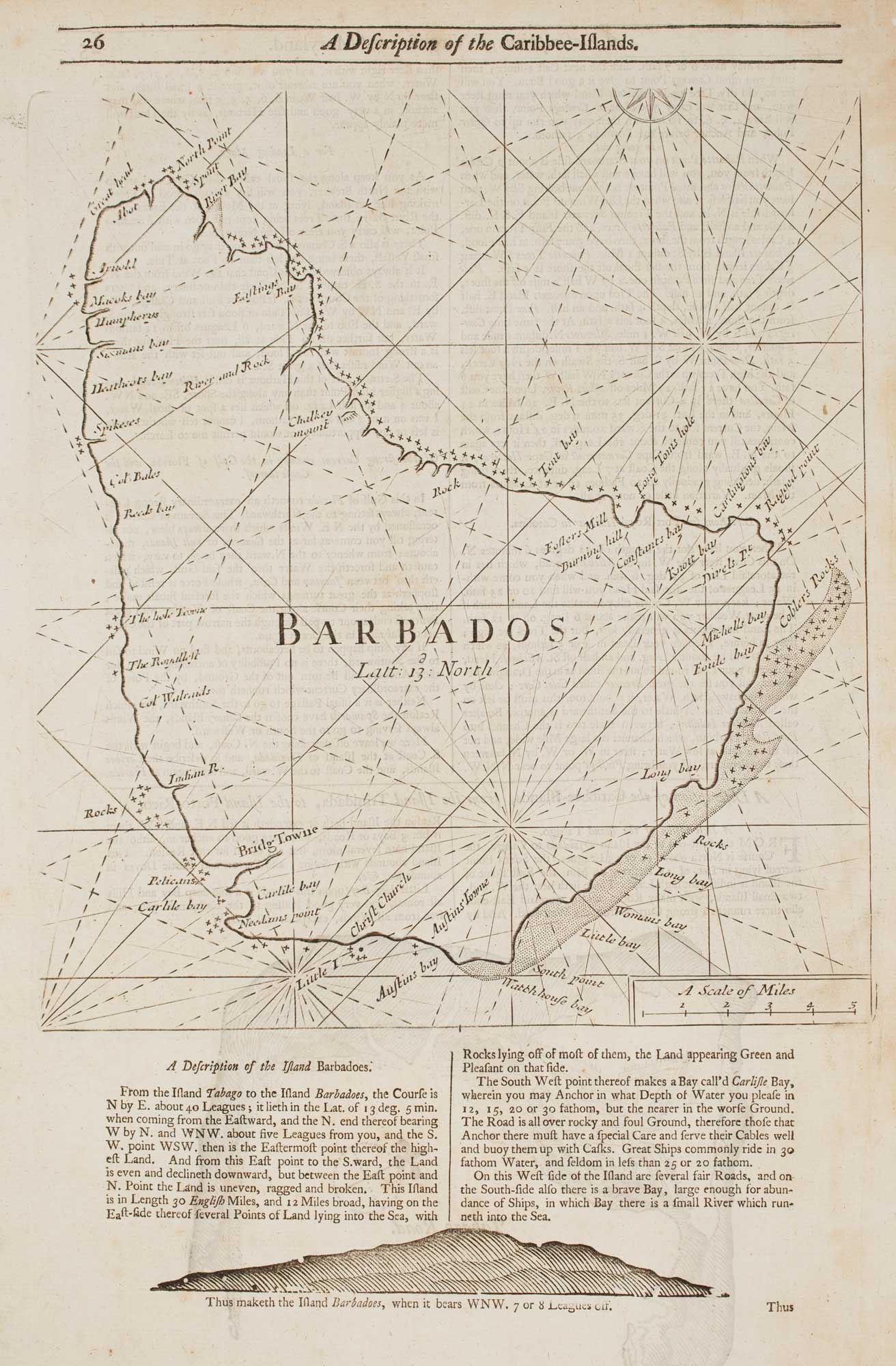
Antique Maps of Barbados
Antique maps of Barbados focus on this key Caribbean island from the early modern era through the nineteenth century, including colonial mapping, maritime routes and plantation landscapes. The selection includes rare engraved regional maps, sea charts of the Lesser Antilles, harbour plans and town plans, with interest for the wider Windward Islands and approaches from the Atlantic. Subjects often cover Bridgetown, Carlisle Bay, coastal soundings, reefs and anchorages, as well as administrative divisions and estates recorded for navigation, trade and governance. Original Barbados maps for sale, each carefully selected and authenticated.
Showing 1–3 of 3 products
Sort by:
Add to Wishlist
Add to Wishlist
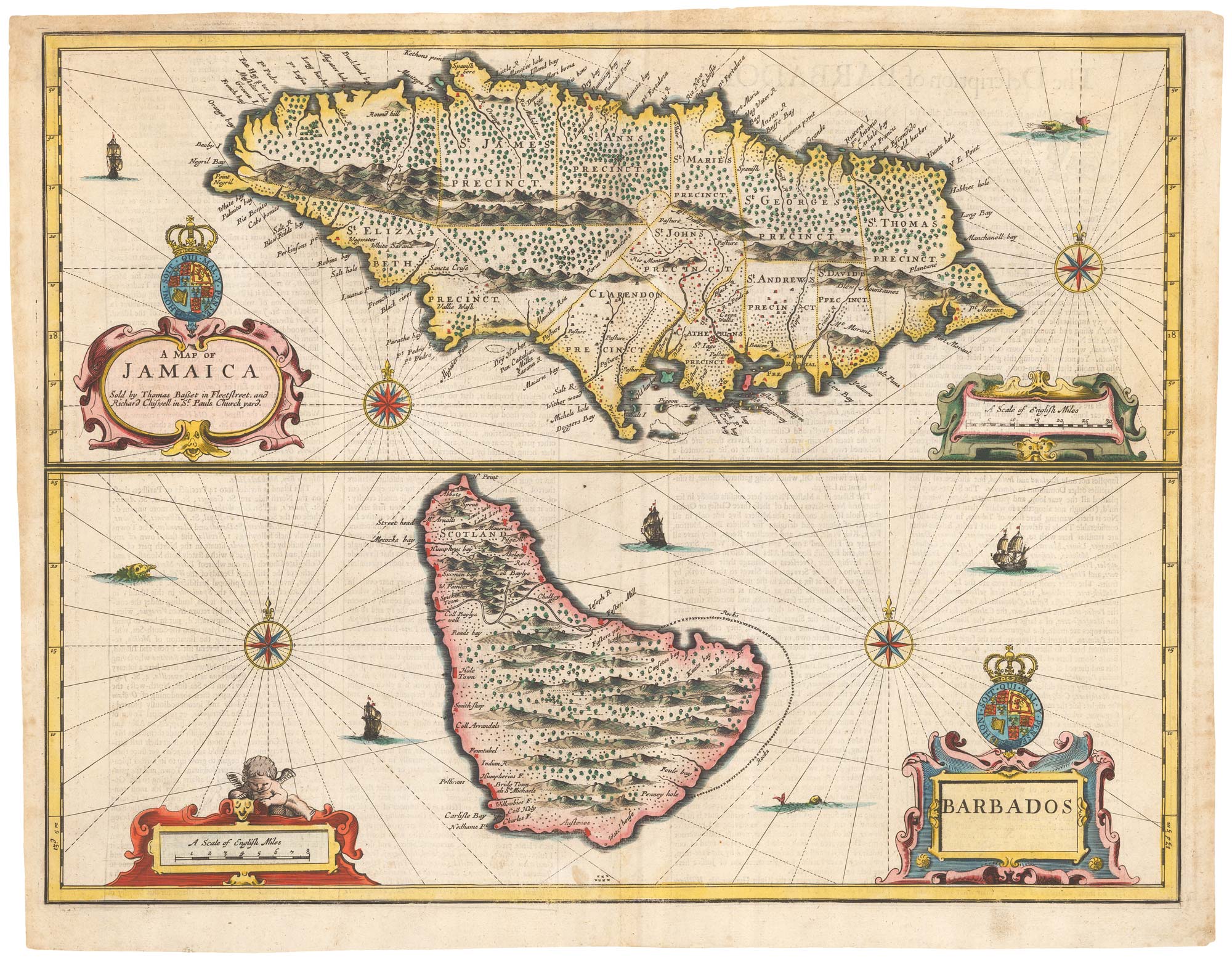
17th century maps of of two British possessions in the West Indies
SPEED, John. Date: 1676 Stock #: 23798 £850.00
Add to Wishlist
Add to Wishlist

Add to Wishlist
Add to Wishlist