
Antique Maps of the Antarctic
Antique maps of Antarctica and the Antarctic region chart the southern polar world from early speculative outlines to the era of scientific surveying, from the eighteenth century through the twentieth. The selection includes rare engraved maps, atlas maps, sea charts and expedition-related prints showing the Southern Ocean, the Antarctic Peninsula, sub-Antarctic islands and the approaches from South America, Africa and Australasia. Subjects often include exploration routes, coastal profiles, ice shelves, bases and place names as they developed through major voyages and national programmes. Original Antarctic maps and prints for sale, each carefully selected and authenticated.
Showing 1–5 of 5 products
Sort by:
Add to Wishlist
Add to Wishlist
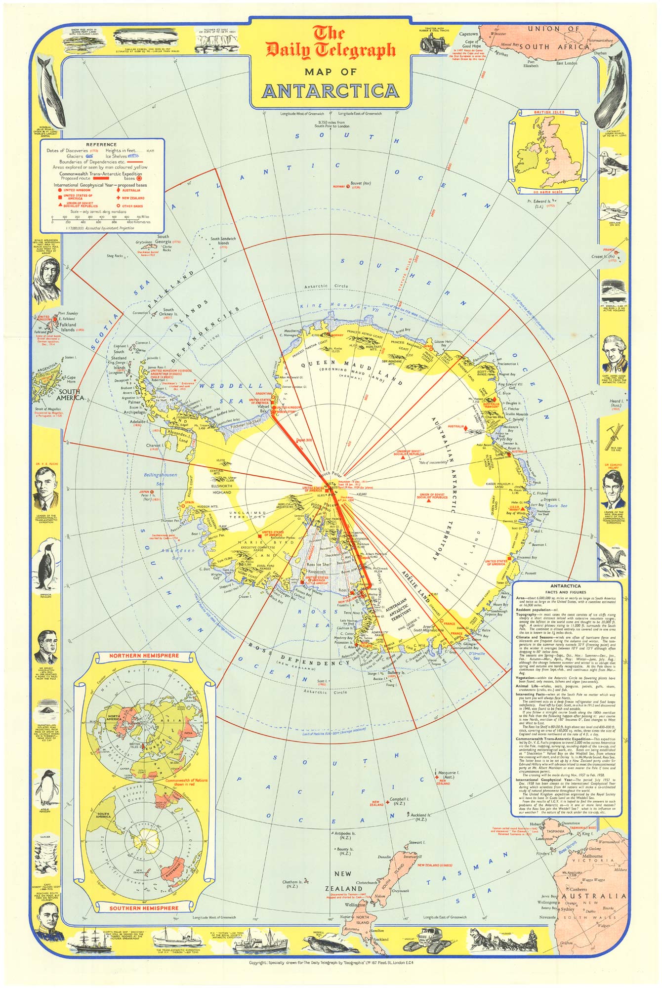
Pictorial Map of Antarctica: Celebrating the International Geophysical Year
GEOGRAPHIA LTD Date: 1957 Stock #: 25133 £240.00
Add to Wishlist
Add to Wishlist
Add to Wishlist
Add to Wishlist

Add to Wishlist
Add to Wishlist
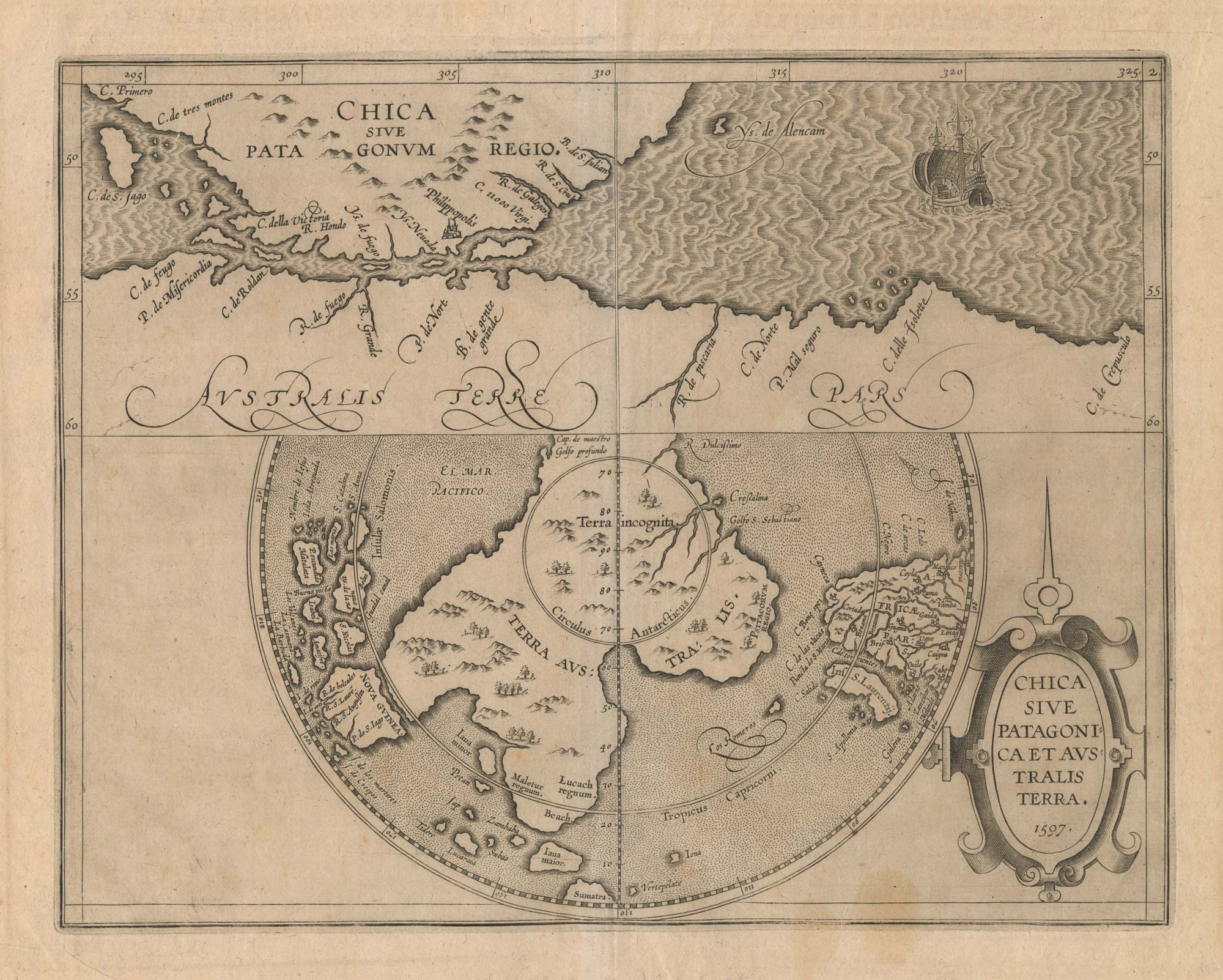
A scarce 16th century map of the South Pole and the Strait of Magellan
WYTFLIET, Cornelis van. Date: 1597 Stock #: 23439 £3,000.00
Add to Wishlist
Add to Wishlist
