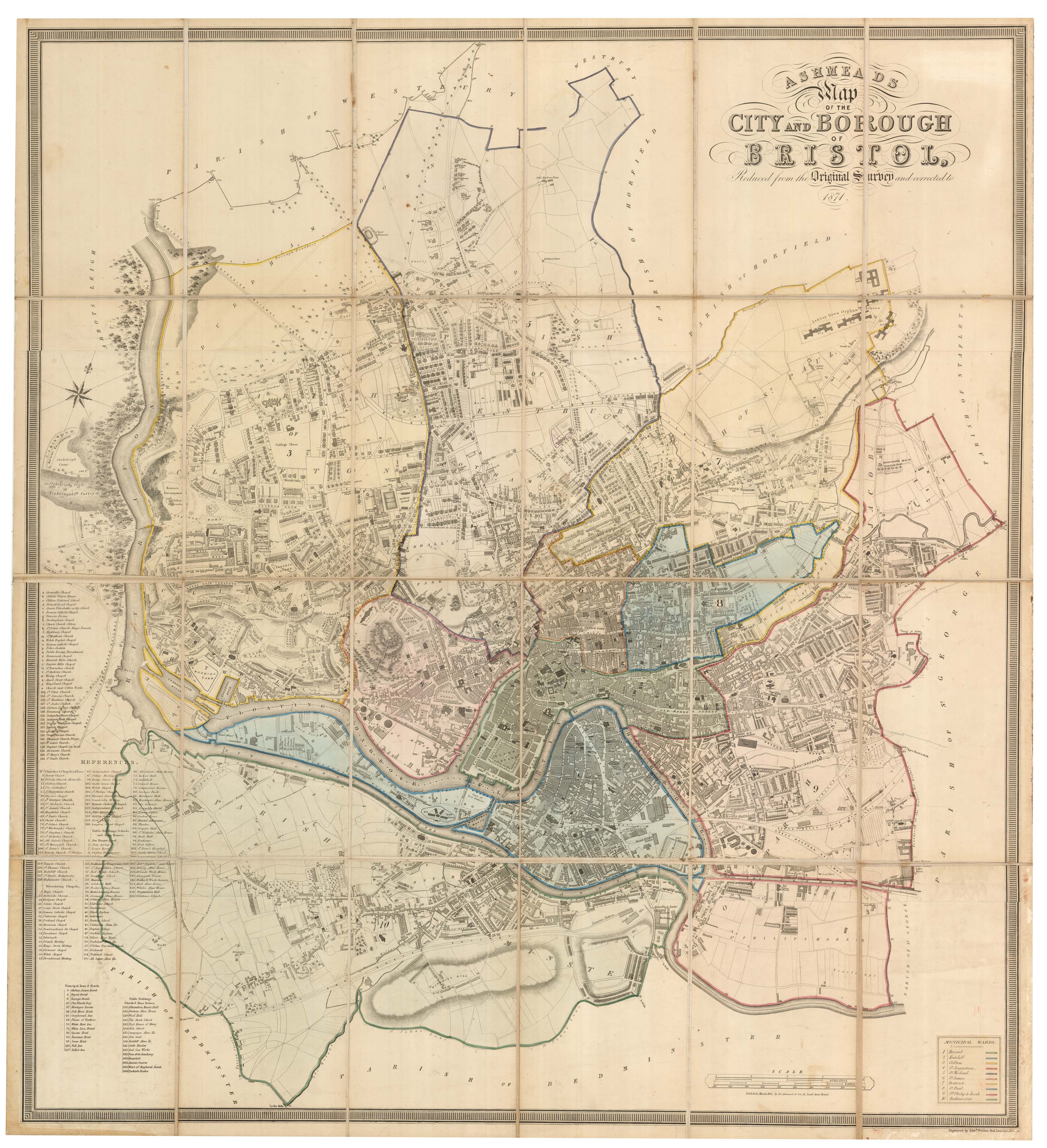


A large scale city plan of Bristol in 1871
Ashmeaad's Map of the City and Borough of Bristol, Reduced from the Original Survey and corrected to 1871.
Bristol: G.C. Ashmead & Son, 1871. Original colour. Dissected and laid on linen, as issued, total 950 x 875mm, with pasted label with colour-code of wards.
x
Question About This Item?
A large scale city plan of Bristol in 1871 & ASHMEAD, George Culley.Stock #: 25829"*" indicates required fields
Similar to Sell?
Add to Wishlist
Add to Wishlist
Description
A large and detailed plan of Bristol, first published in 1828, when Ashmead completed a map begun in 1813 by John Plumley (d.1826). This version, engraved by Edward Weller, was updated by Ashmead when he was 70 years old, aided by his son.
Ashmead (1801-95) was a land surveyor, Land Agent, auctioneer and a map maker, whose business was based in part of what had been the house of notorious slave-trader Edward Colston. In 1833, as one of the Secretaries to the 'Committee of the Bristol Anti-Slavery Association', he wrote to the Bristol Mercury stating that ''One Last Appeal must now be made to wipe off the foulest stigma which has ever stained the nation''.