

The rare First Edition of Dix’s county atlas bound in plano
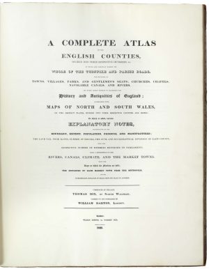
The Complete Atlas of English Counties... Commenced by the Late Thomas Dix, of North Walsham; Carried on and Completed by William Darton London.
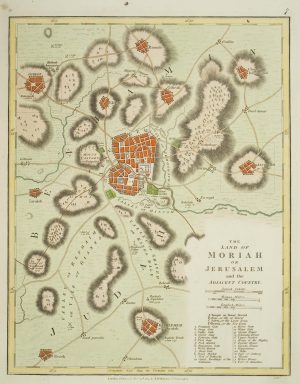
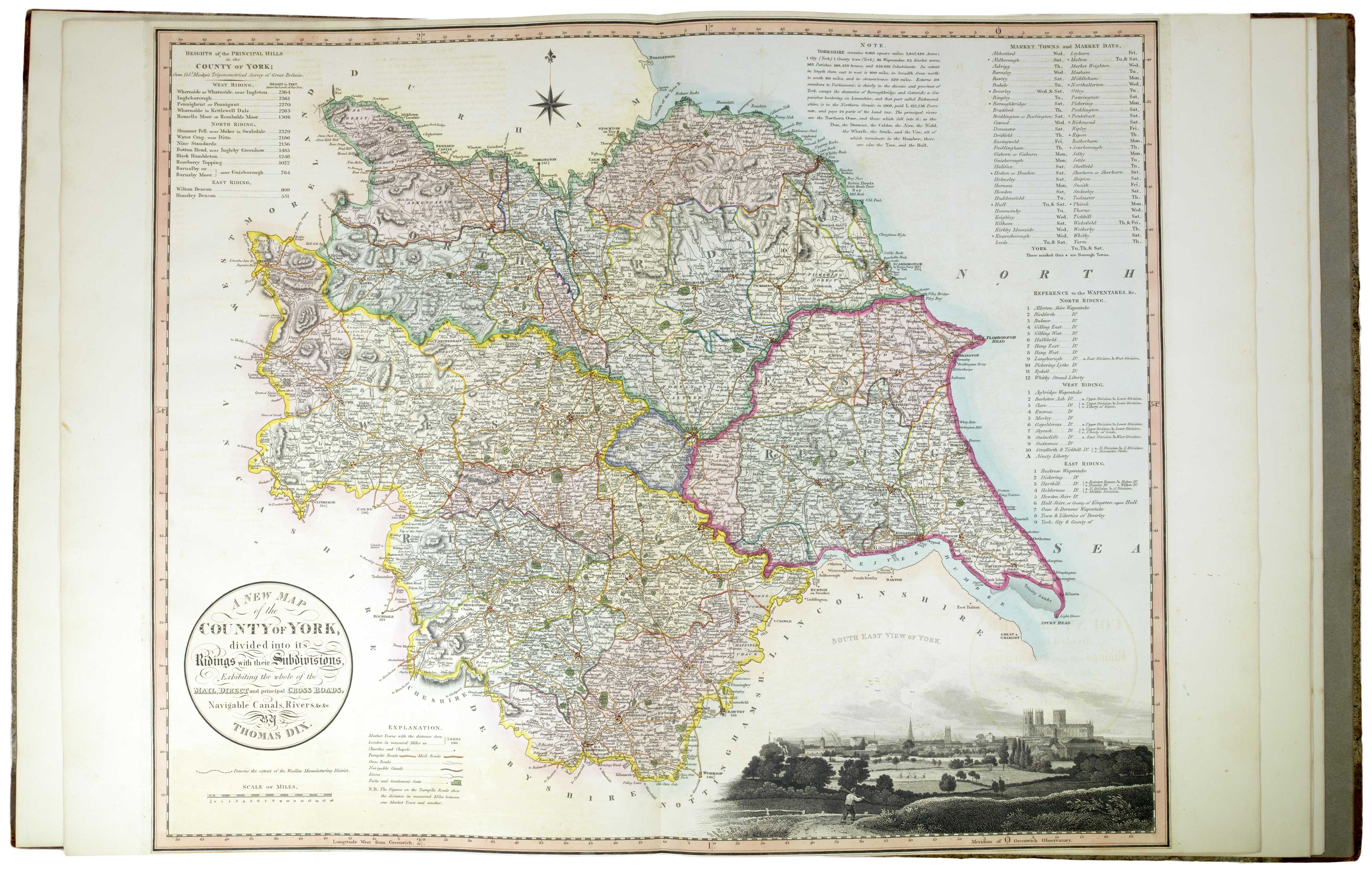
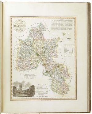
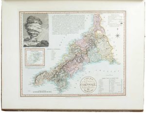
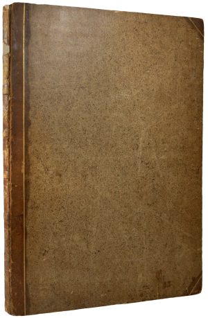
London: William Darton, 1822. First Edition. Folio, contemporary half calf with marbled boards. Letterpress title, dedication and index; 42 engraved maps with fine original hand colour, including 39 full page and three double-page maps, as called for.
£11,000.00
1 in stock
x
Question About This Item?
The rare First Edition of Dix’s county atlas bound in plano & DIX, Thomas.Stock #: 26509"*" indicates required fields
Similar to Sell?
Add to Wishlist
Add to Wishlist
Description
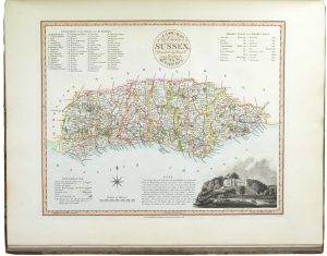
A very rare atlas of English counties, with North and South Wales, surveyed by Thomas Dix (c.1769-1813), each with a vignette scene in a corner.
The three double-page maps are Yorkshire, North and South Wales.
The maps were engraved between 1816 and 1821 (all after the death of Dix) and printed on John Whatman Turkey Mill paper with watermarked dates between 1814 and 1821. The maps were issued separately during the time it took to complete the atlas, usually dissected, laid on linen and folded into slipcases.
Condition:
Spine distressed, but contents in superb condition.Related products
-

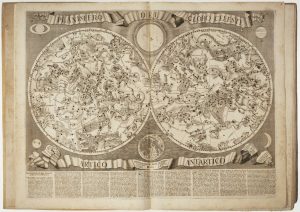
A 17th century Italian atlas in two volumes
DE ROSSI, Giovanni Giacomo. Date: 1696Stock #: 26580 £32,500.00 -

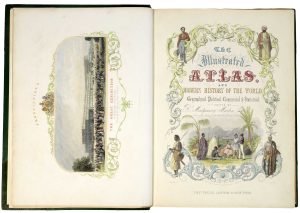
A mid-19th century atlas with Tallis maps
MARTIN, Montgormery. Date: 1851Stock #: 25896 £6,750.00 -

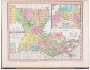
The rare first issue of an important American atlas in fine original colour
TANNER, Henry Schenck. Date: 1836Stock #: 22905 £7,000.00 -
![Geographical Fun: Being Humerous Outlines of Various Countries. With Introduction by ALEPH [HARVEY, William]., 1869.](data:image/svg+xml,%3Csvg%20xmlns='http://www.w3.org/2000/svg'%20viewBox='0%200%20300%20365'%3E%3C/svg%3E)
A complete set of caricature maps of European countries
ALEPH [HARVEY, William]. Date: 1869Stock #: 25971 £2,800.00 -

Magini’s edition of Ptolemy’s Geography
MAGINI, Giovanni Antonio. Date: 1598Stock #: 24449 £6,000.00 -

A fine example of Münster’s cosmography
MUNSTER, Sebastian. Date: 1558Stock #: 26209 £22,000.00 -

The first Western atlas of China
BLAEU, Johannes. Date: 1655Stock #: 20044 £29,000.00 -

Early 19th century atlas of the Classical World with bright colour
WILKINSON, Robert. Date: 1817Stock #: 26218 £700.00 -

One of the best editions of Ortelius’s Theatrum atlas
ORTELIUS, Abraham. Date: 1603Stock #: 24712 £135,000.00
![Geographical Fun: Being Humerous Outlines of Various Countries. With Introduction by ALEPH [HARVEY, William]., 1869.](https://altea-gallery-cdn.s3.eu-west-2.amazonaws.com/wp-content/uploads/2025/10/28153212/alteashop_25971-300x365.jpg)