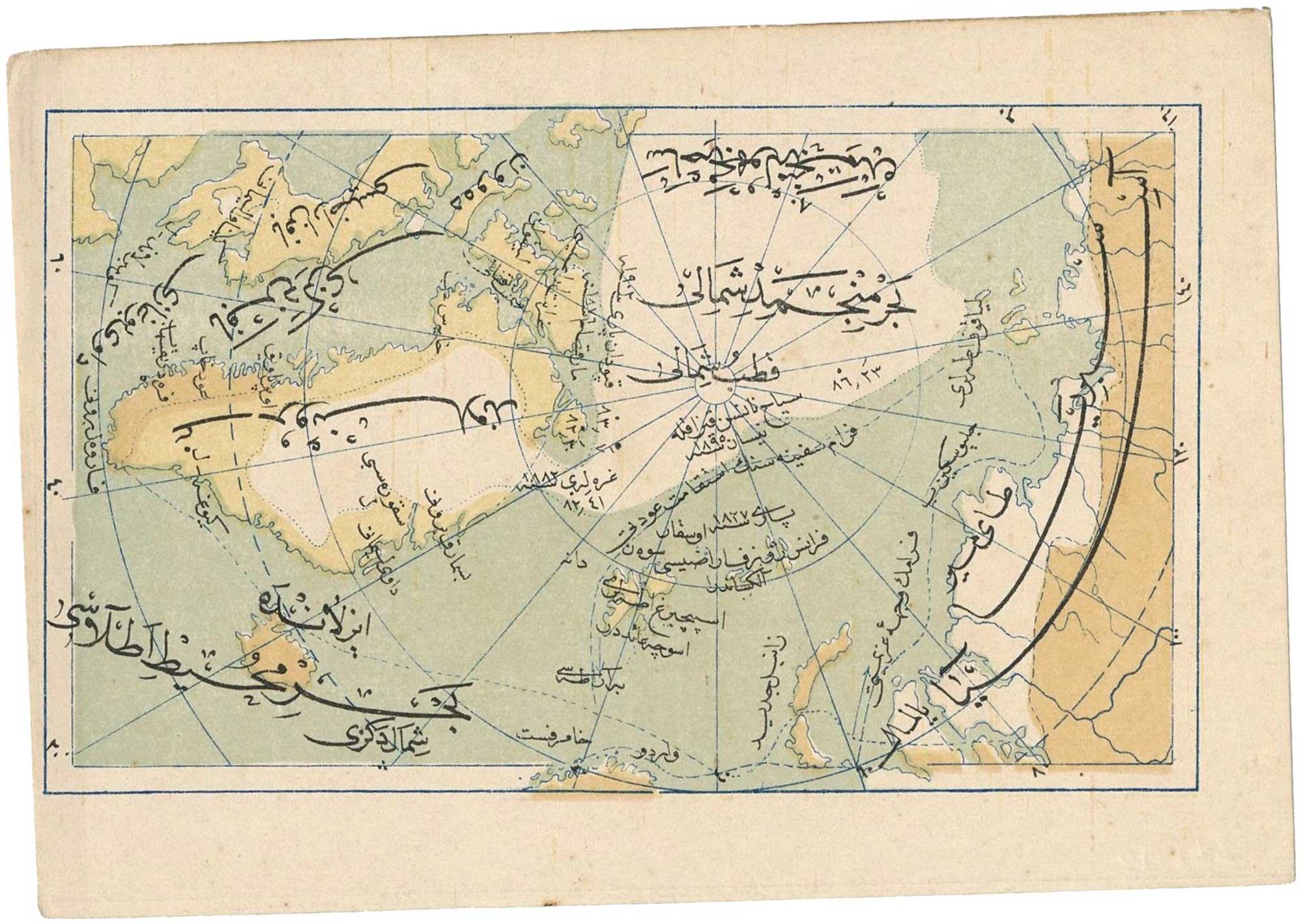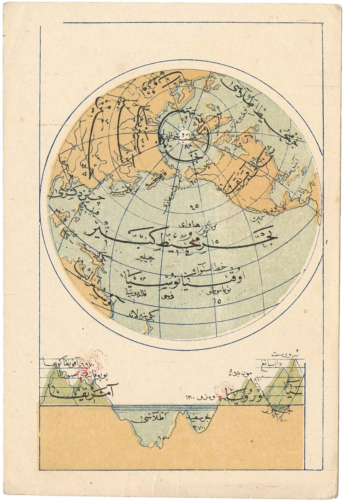


Scarce Ottoman Turkish world map
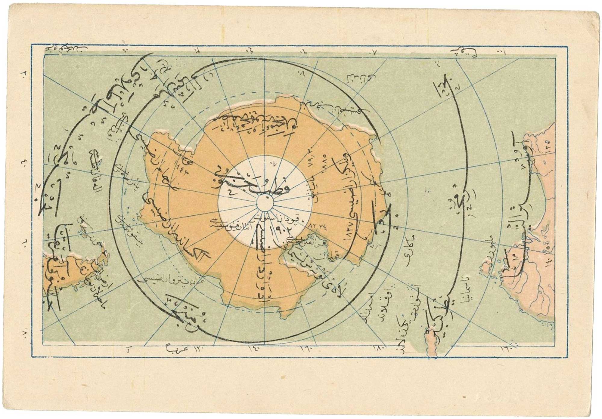
[Ottoman Turkish world map on a North Pole projection]
Istanbul, Mehmet Eşref, 1909. Umum-i Vilayat-ı Şahaneyi Havi Küçük Atlas. 135 x 85mm.
£300.00
1 in stock
x
Question About This Item?
Scarce Ottoman Turkish world map & ESREF, MehmetStock #: 26637"*" indicates required fields
Similar to Sell?
Add to Wishlist
Add to Wishlist
Description
A rare small-format Ottoman Turkish world map on a North Pole projection by Mehmet Esref.
Below a diagram shows profiles of mountains and oceans alongside a Volcano.
The sheet was published in Mehmet Eşref’s Umum-i Vilayat-ı Şahaneyi Havi Küçük Atlas, a small Ottoman educational atlas published in Istanbul in 1325 AH / 1909. Such maps are especially interesting as examples of late Ottoman geographical publishing, presenting modern world geography to an Ottoman readership shortly before the First World War.
A single example of the atlas is listed in OCLC records, in the Bogazici University Library in Istanbul.
Condition:
A good example.Related products
-

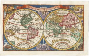
A scarce 18th century double-hemisphere world map by Steinberger
STEINBERGER, Leonhard Michael. Date: 1730Stock #: 26035 £650.00 -

Beautiful pair of 17th century world hemispheres in Coronelli’s unique style
CORONELLI, Vincenzo Maria. Date: 1690Stock #: 26348 £6,000.00 -

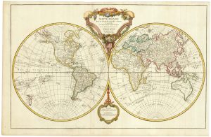
An important world map, updated to include Cook’s three voyages
ROBERT DE VAUGONDY, Didier. Date: 1792Stock #: 23209 £1,600.00 -
![[World] Mappa A. Mappa B. by LAS CASAS, Emmanuel., 1832.](data:image/svg+xml,%3Csvg%20xmlns='http://www.w3.org/2000/svg'%20viewBox='0%200%20300%20116'%3E%3C/svg%3E)
A double-hemisphere map of the world on two sheets
LAS CASAS, Emmanuel. Date: 1832Stock #: 21709 £450.00 -

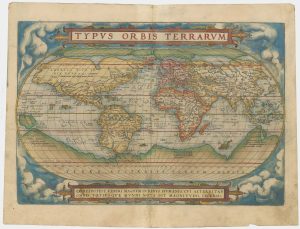
An early example of Ortelius’s classic world map
ORTELIUS, Abraham. Date: 1573Stock #: 26576 £7,000.00 -
![[Cyrillic - Western Hemisphere. Eastern Hemisphere.] by IL'IN, A., 1890.](data:image/svg+xml,%3Csvg%20xmlns='http://www.w3.org/2000/svg'%20viewBox='0%200%20300%20169'%3E%3C/svg%3E)
A late-19th century double-hemisphere world map in Cyrillic
IL'IN, A. Date: 1890Stock #: 19431 £1,200.00 -

An 18th century double-hemisphere world map
LAUNAY, Charles Louis de Date: 1738Stock #: 26273 £650.00 -

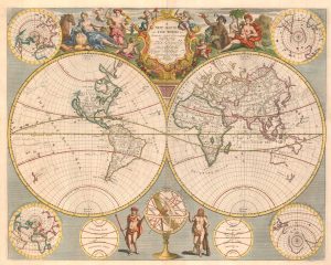
An English world map after the Longitude Act
SENEX, John. Date: 1720Stock #: 25933 £3,250.00 -

An 18th century double-hemisphere world map
CHATELAIN, Henri Abraham. Date: 1718Stock #: 23390 £1,000.00
![[World] Mappa A. Mappa B. by LAS CASAS, Emmanuel., 1832.](https://altea-gallery-cdn.s3.eu-west-2.amazonaws.com/wp-content/uploads/2025/05/10125936/alteashop_21709-300x116.jpg)
![[Cyrillic - Western Hemisphere. Eastern Hemisphere.] by IL'IN, A., 1890.](https://altea-gallery-cdn.s3.eu-west-2.amazonaws.com/wp-content/uploads/2025/05/10122921/alteashop_19431-300x169.jpg)
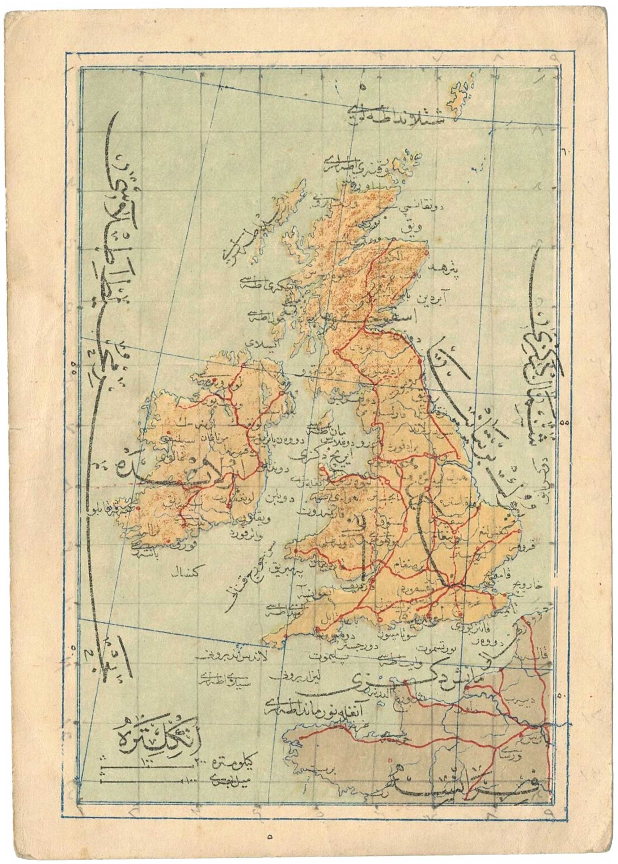
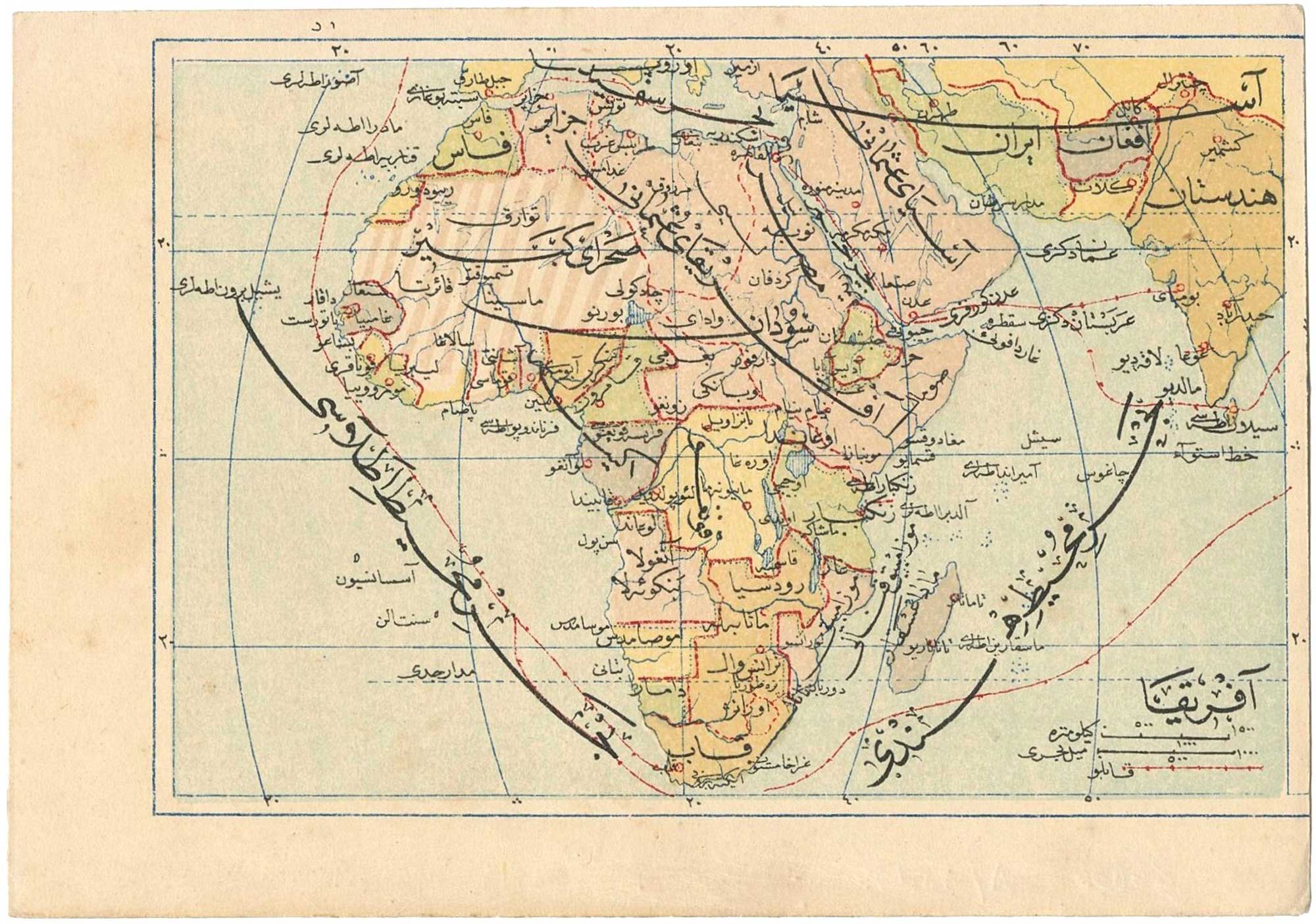
Items by the same author
Add to Wishlist
Add to Wishlist
Add to Wishlist
Add to Wishlist
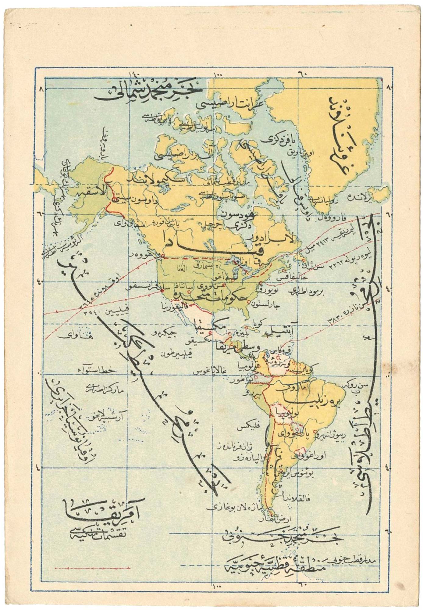
Scarce Ottoman Turkish map of North and South America with telegraph cables
ESREF, Mehmet Date: 1909 Stock #: 26638 £225.00
Add to Wishlist
Add to Wishlist
Add to Wishlist
Add to Wishlist
Add to Wishlist
Add to Wishlist