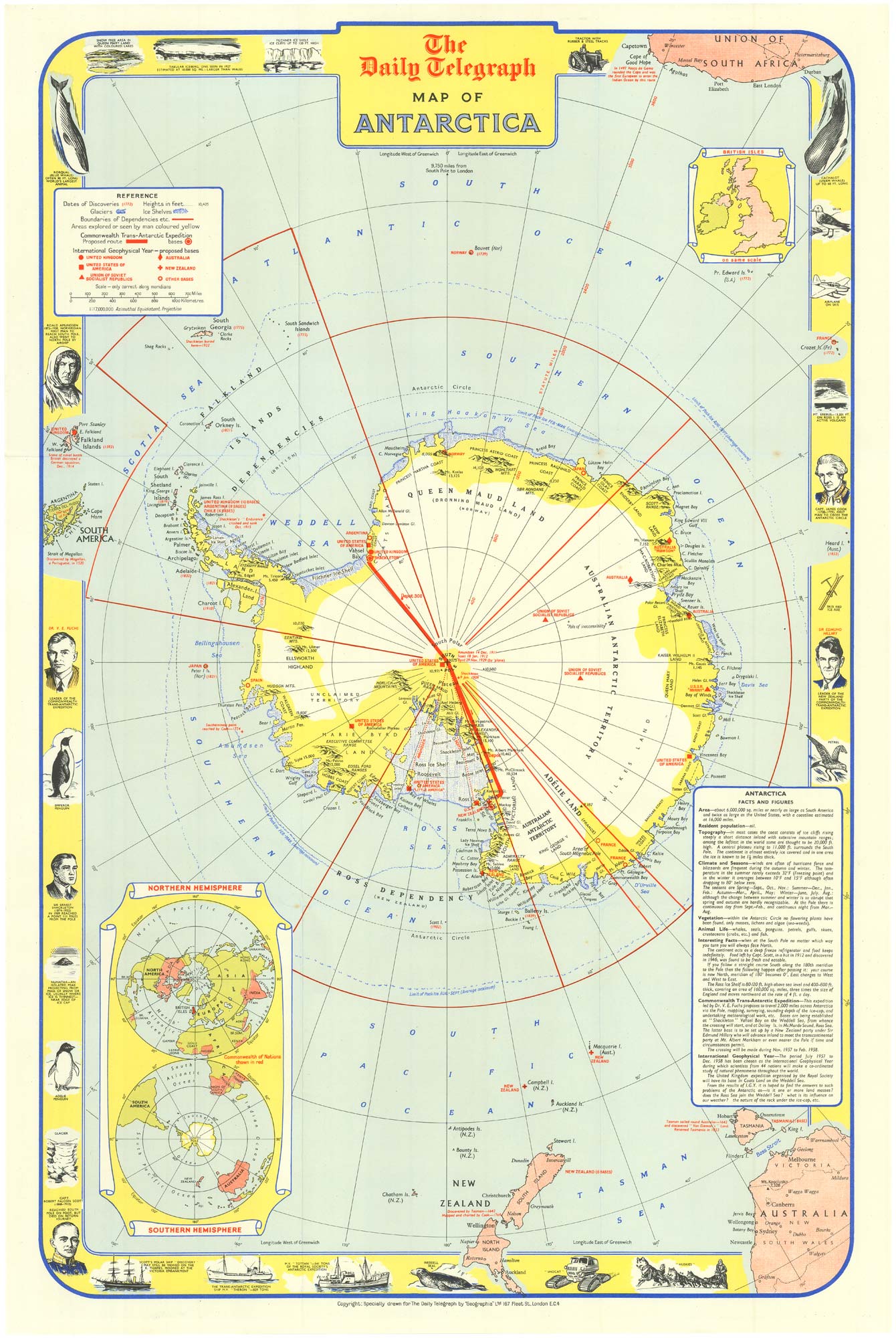


Pictorial Map of Antarctica: Celebrating the International Geophysical Year
The Daily Telegraph map of Antartica.
London. Geographica,1957. Colour printed map. Sheet 755mm x 500mm.
£240.00
1 in stock
x
Question About This Item?
Pictorial Map of Antarctica: Celebrating the International Geophysical Year & GEOGRAPHIA LTDStock #: 25133"*" indicates required fields
Similar to Sell?
Add to Wishlist
Add to Wishlist
Description
Folding map of Antarctica created to honour the International Geophysical Year (1957-1958). Natural features are rendered in blue, international research bases in red, and territorial boundaries of dependencies are clearly marked.
The map provides a probable route of the Commonwealth Trans-Antarctic Expedition, led by Dr. V.E. Fuchs and Sir Edmund Hillary, alongside references to previous expeditions, including those of Amundsen, Scott, and Byrd. Informative notes cover Antarctica's climate, vegetation, and animal life, complemented by inset diagrams comparing the Northern and Southern Hemispheres and showing the British Isles at the same scale as Antarctica.
Condition:
A good example.Related products
-

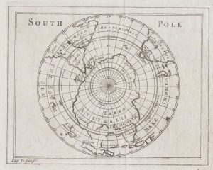
17th century map of the South Pole
MOORE, Jonas. Date: 1681Stock #: 16801 £650.00 -

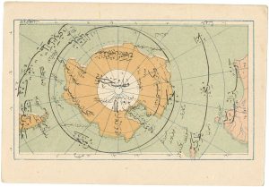
Scarce Ottoman Turkish map of the South Pole
ESREF, Mehmet Date: 1909Stock #: 26639 £250.00 -

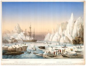
Seal hunting on the Antarctic ice
LEDUC, Charles. Date: 1860Stock #: 25804 £1,600.00 -
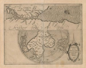
A scarce 16th century map of the South Pole and the Strait of Magellan
WYTFLIET, Cornelis van. Date: 1597Stock #: 23439 £3,000.00