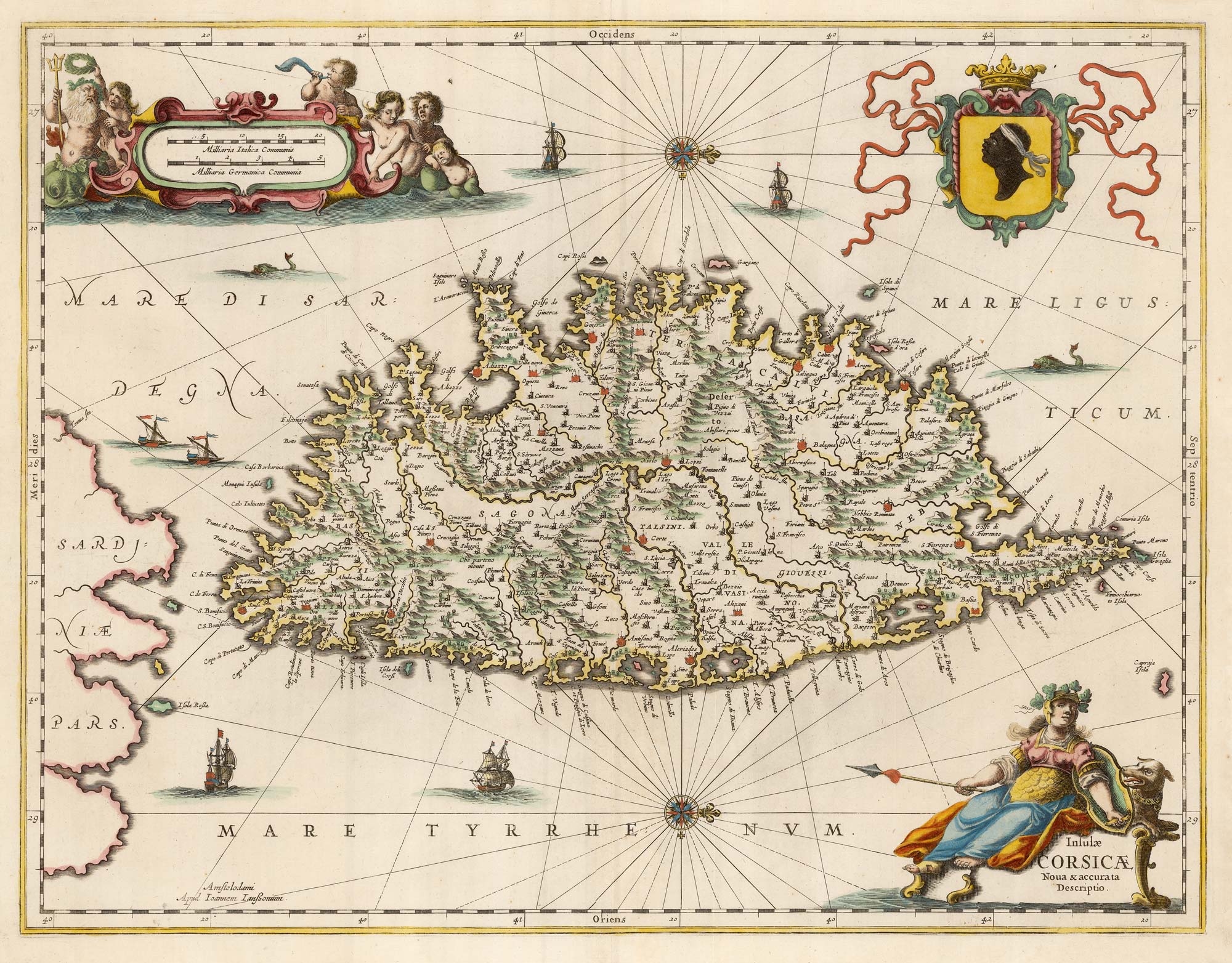


A decorative 17th century map of Corsica
Insulae Corsicae Nova & accurata Descriptio.
Amsterdam, c.1650, blank verso. Original colour. 390 x 510mm.
£1,100.00
1 in stock
x
Question About This Item?
A decorative 17th century map of Corsica & JANSSON, Jan.Stock #: 23619"*" indicates required fields
Similar to Sell?
Add to Wishlist
Add to Wishlist
Description
Rare map of Corsica, orientated with north to the right, with decorative cartouches for the title and scale and a large armorial.
Condition:
A good example.Related products
-

A 16th century miniature map of the Comtat Venaissin
LANGENES, Barent. Date: 1599Stock #: 21137 £55.00 -
A 16th century miniature map of Berry
LANGENES, Barent. Date: 1599Stock #: 21135 £55.00 -

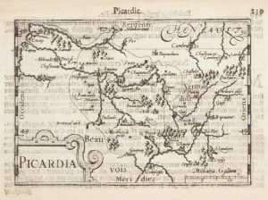
A 16th century miniature map of southern Picardy
LANGENES, Barent. Date: 1599Stock #: 21147 £50.00 -

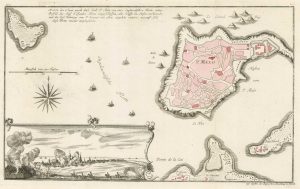
The British ‘Descent’ on St Malo during the Seven Years’ War
RASPE, Gabriel Nikolaus. Date: 1760Stock #: 18856 £250.00 -

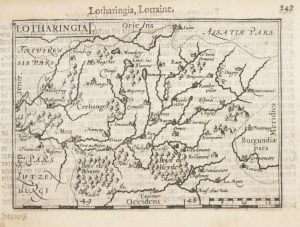
A 16th century miniature map of Lorraine
LANGENES, Barent. Date: 1599Stock #: 21149 £50.00 -

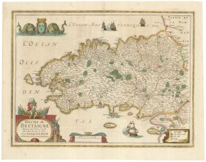
A detailed 17th century map of Brittany
HONDIUS, Henricus. Date: 1650Stock #: 23384 £500.00 -

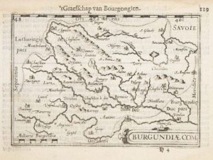
A 16th century miniature map of Franche-Comté
LANGENES, Barent. Date: 1599Stock #: 21141 £50.00 -

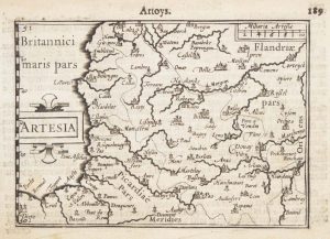
A 16th century miniature map of Artois
LANGENES, Barent. Date: 1599Stock #: 21154 £55.00 -

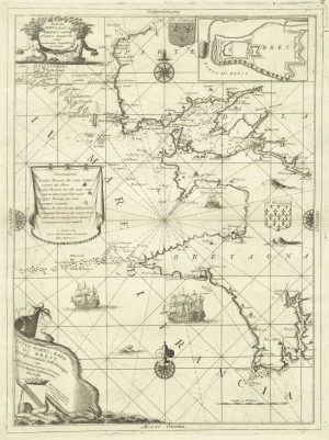
A decorative sea chart of the environs of Brest
CORONELLI, Vincenzo Maria. Date: 1689Stock #: 21213 £550.00
Items by the same author
Add to Wishlist
Add to Wishlist
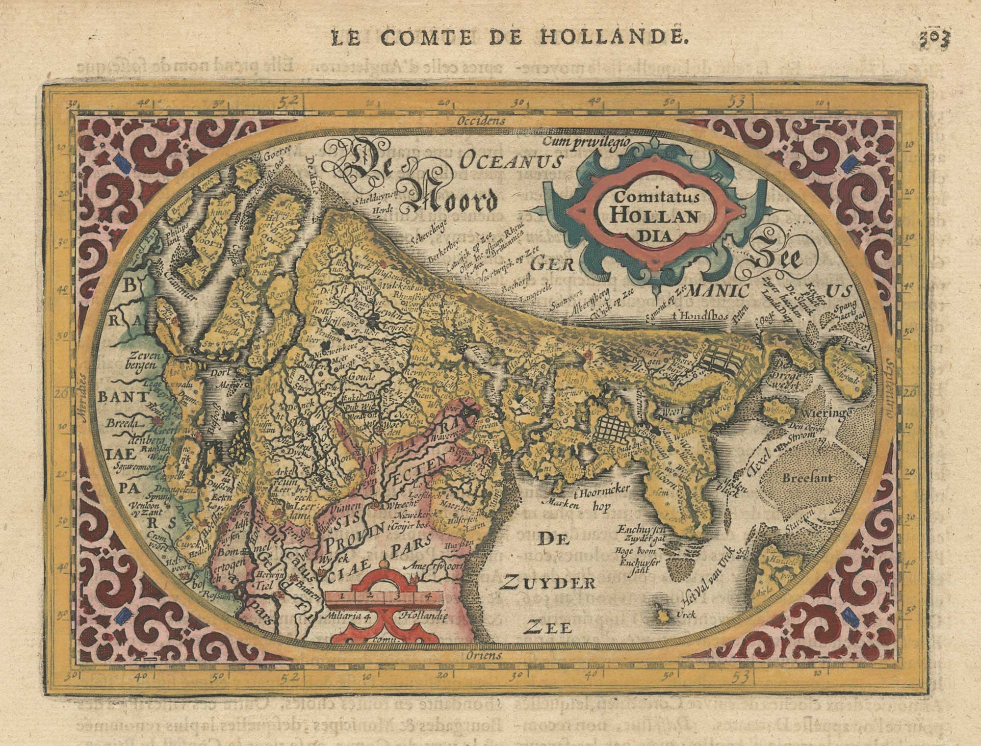
A 17th century map of the county of Holland from a pocket atlas
JANSSON, Jan. Date: 1630 Stock #: 26669 £325.00
Add to Wishlist
Add to Wishlist
Add to Wishlist
Add to Wishlist
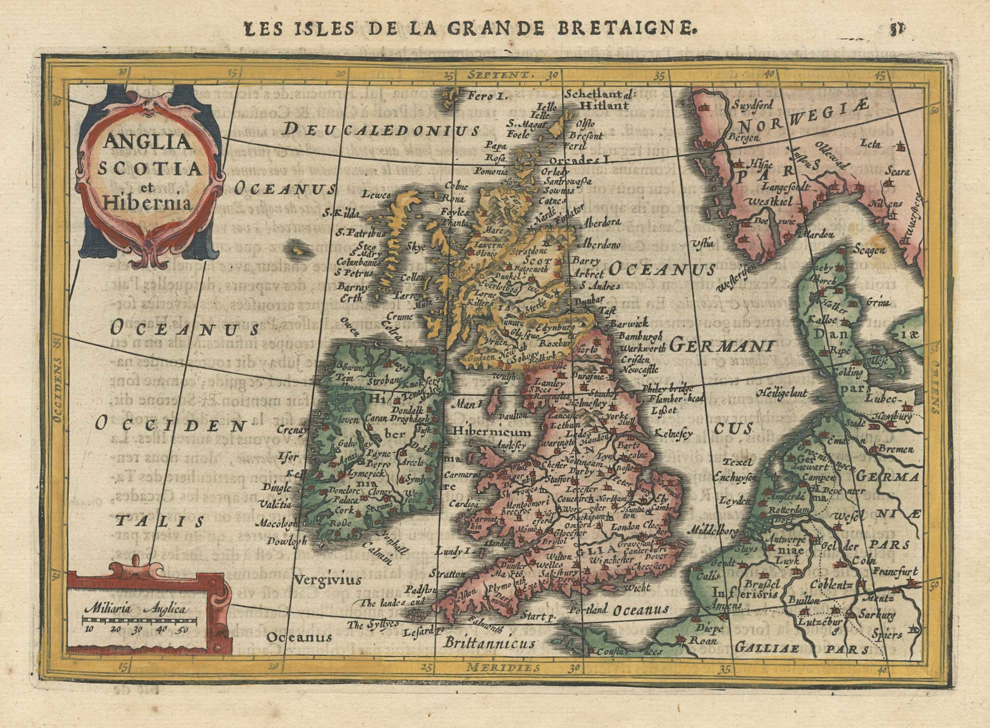
A 17th century map of the British Isles from a pocket atlas
JANSSON, Jan. Date: 1630 Stock #: 26664 £220.00
Add to Wishlist
Add to Wishlist

Add to Wishlist
Add to Wishlist
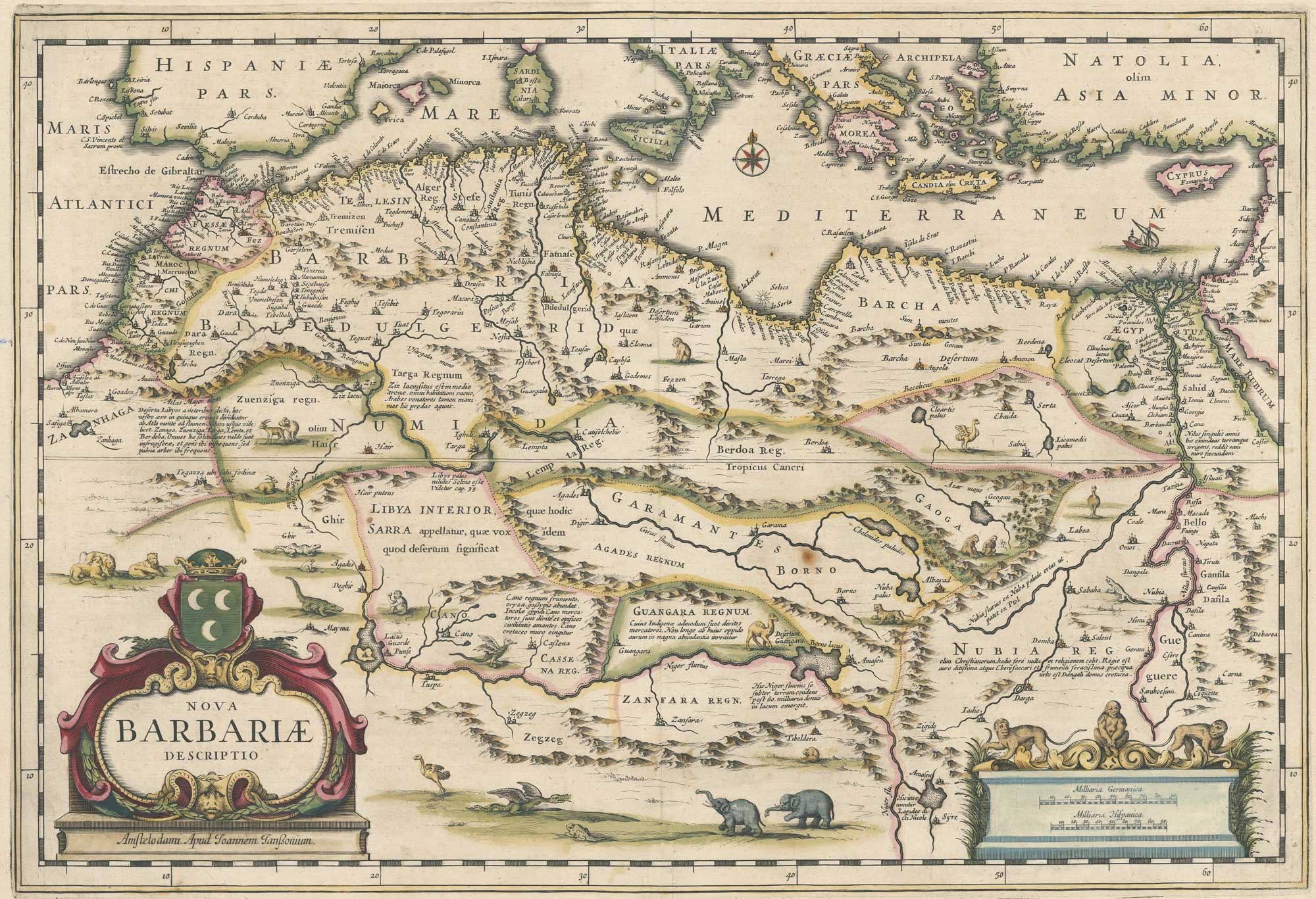
A 17th century map of North Africa decorated with dragons
JANSSON, Jan. Date: 1650 Stock #: 26721 £385.00
Add to Wishlist
Add to Wishlist