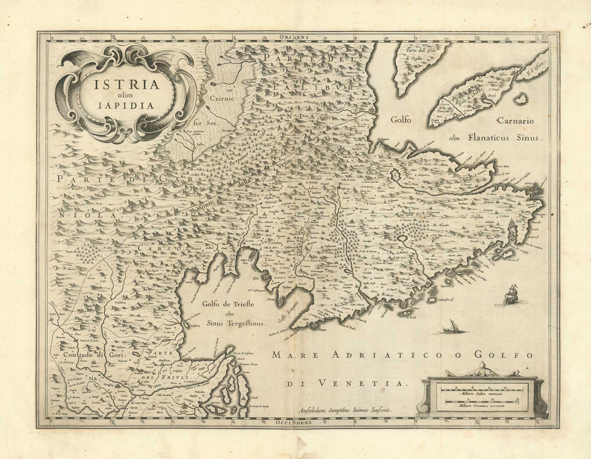


Jansson’s map of Istria and the Gulf of Trieste
Istria olim Iapidia.
Amsterdam, 1635 blank verso. 390 x 510mm.
£350.00
1 in stock
x
Question About This Item?
Jansson’s map of Istria and the Gulf of Trieste & JANSSON, Jan.Stock #: 26514"*" indicates required fields
Similar to Sell?
Add to Wishlist
Add to Wishlist
Description
Jan Jansson's map of Istria, oriented with east at the top and extending across the Gulf of Trieste and the northern Adriatic. The map depicts the Istrian peninsula together with the surrounding islands, coastal ports, and inland settlements.
The geography is based upon the work of Giovanni Antonio Magini, whose atlas of Italy was among the first modern regional atlases devoted to the peninsula. ,
Condition:
A good example.References:
Van der Krogt 7180:1.1Related products
-

Map of the Black Sea in original colour
LOTTER, Tobias Conrad. Date: 1760Stock #: 12175 £580.00 -

A pictorial map of the Baltic theatre of the Crimean War
ILLUSTRATED LONDON NEWS. Date: 1856Stock #: 10369 £325.00 -

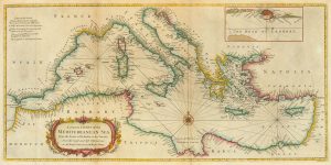
18th century sea chart of the Mediterranean
SEALE, Richard William. Date: 1745Stock #: 24897 £650.00 -

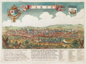
A scarce bird’s-eye view of Paris
Anonymous. Date: 1680Stock #: 11573 £900.00 -

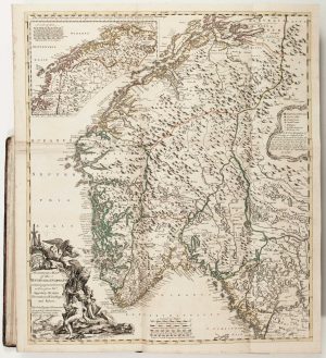
The Natural History of Norway, including sea-monsters!
PONTOPPIDAN, Erich. Date: 1755Stock #: 11264 £1,950.00 -

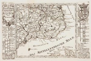
Catalonia
BODENEHR, Gabriel. Date: 1704Stock #: 10878 £125.00 -

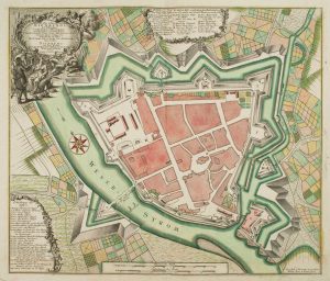
18th century town plan of Nienburg
SEUTTER, Matthaus. Date: 1741Stock #: 9316 £350.00 -

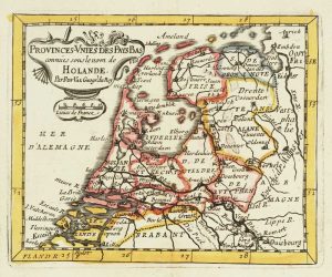
Miniature map of Holland
DU VAL, Pierre. Date: 1682Stock #: 10859 £140.00 -

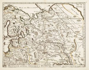
Russia at the beginning of the reign of Peter the Great
DU VAL, Pierre. Date: 1686Stock #: 11447 £825.00
Items by the same author
Add to Wishlist
Add to Wishlist
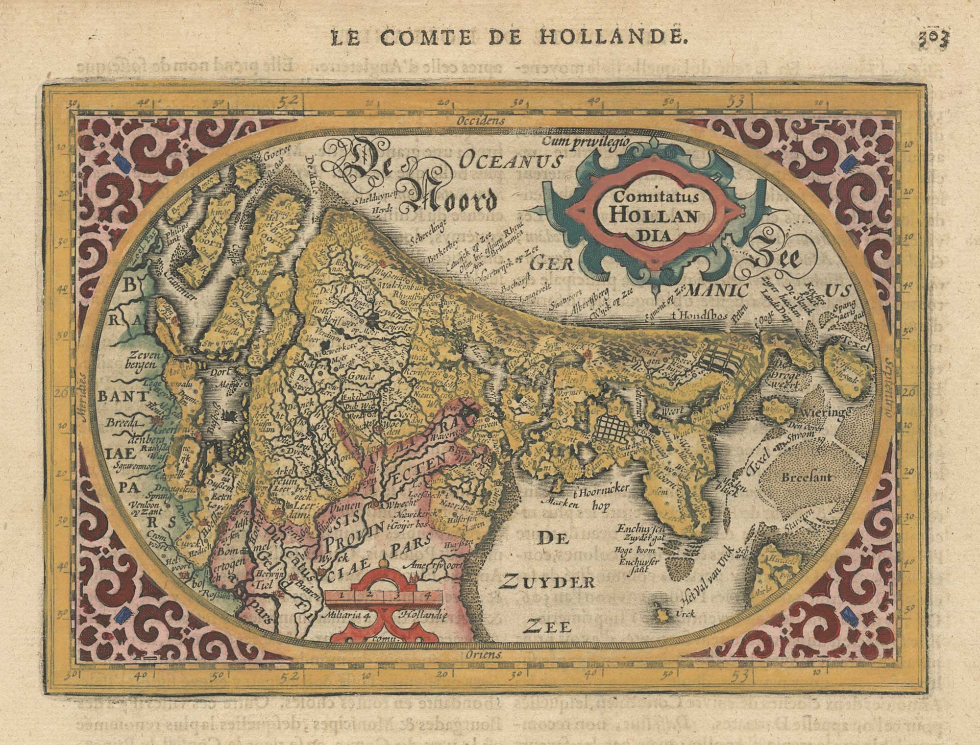
A 17th century map of the county of Holland from a pocket atlas
JANSSON, Jan. Date: 1630 Stock #: 26669 £325.00
Add to Wishlist
Add to Wishlist
Add to Wishlist
Add to Wishlist
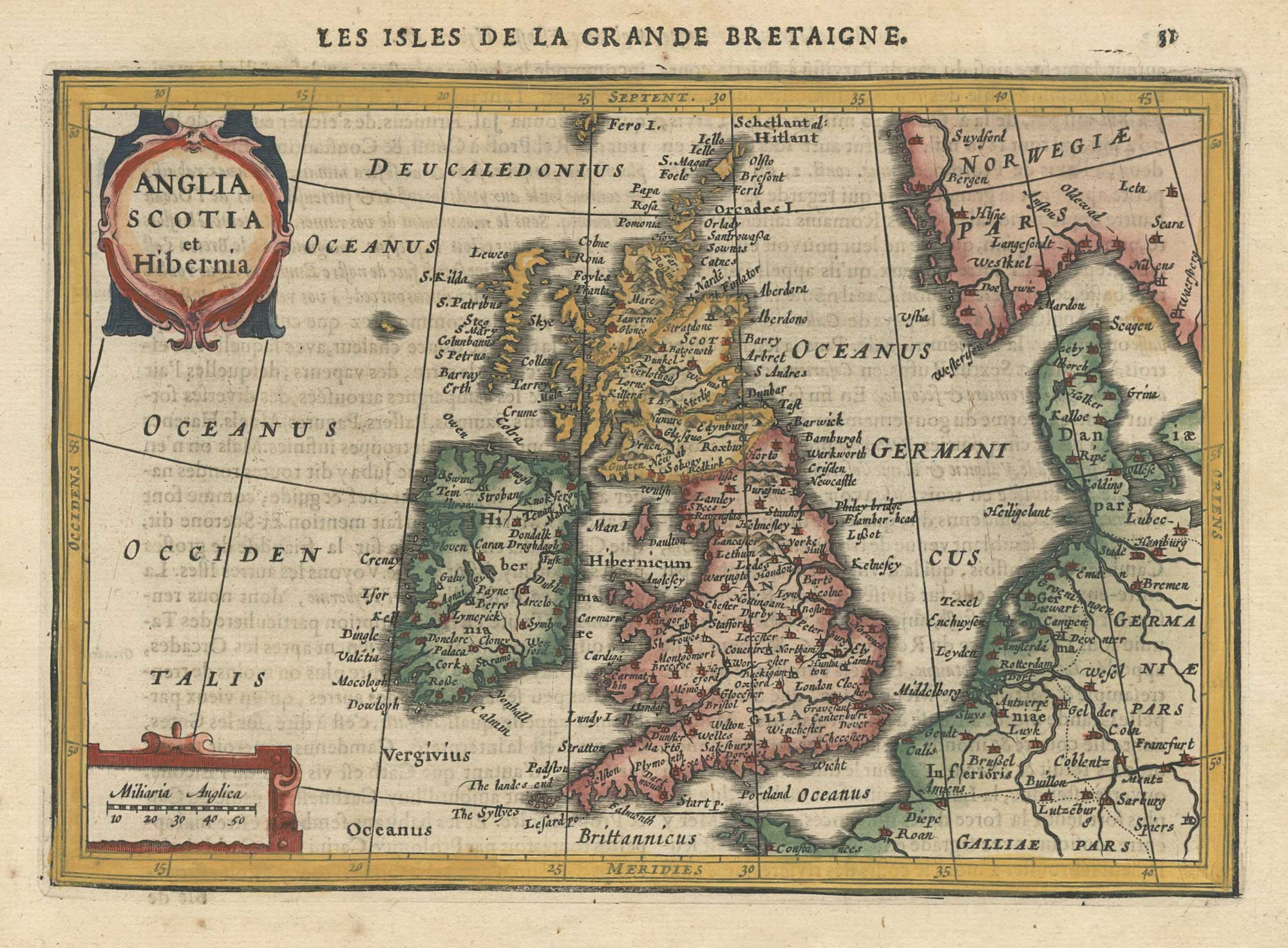
A 17th century map of the British Isles from a pocket atlas
JANSSON, Jan. Date: 1630 Stock #: 26664 £220.00
Add to Wishlist
Add to Wishlist

Add to Wishlist
Add to Wishlist
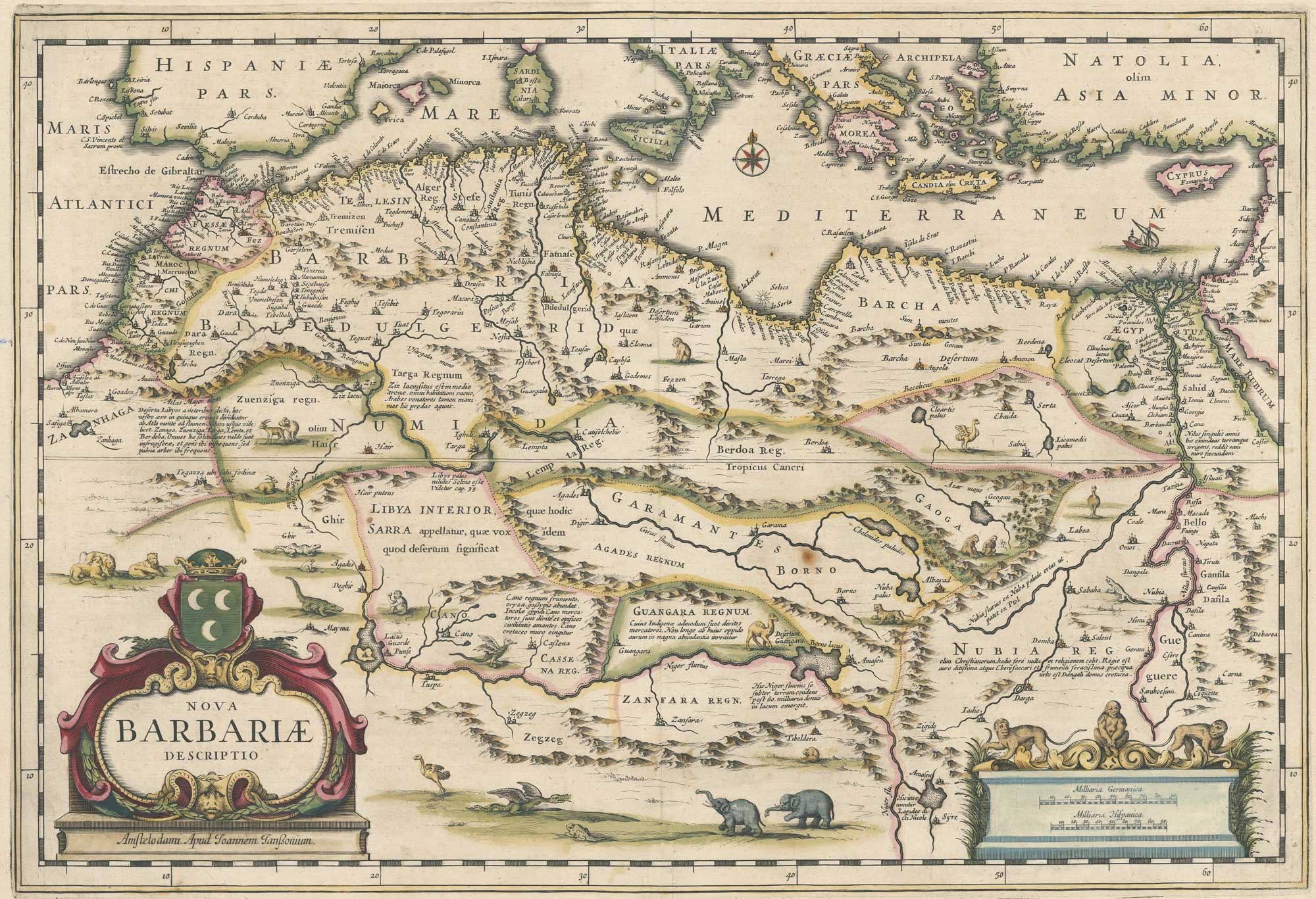
A 17th century map of North Africa decorated with dragons
JANSSON, Jan. Date: 1650 Stock #: 26721 £385.00
Add to Wishlist
Add to Wishlist