
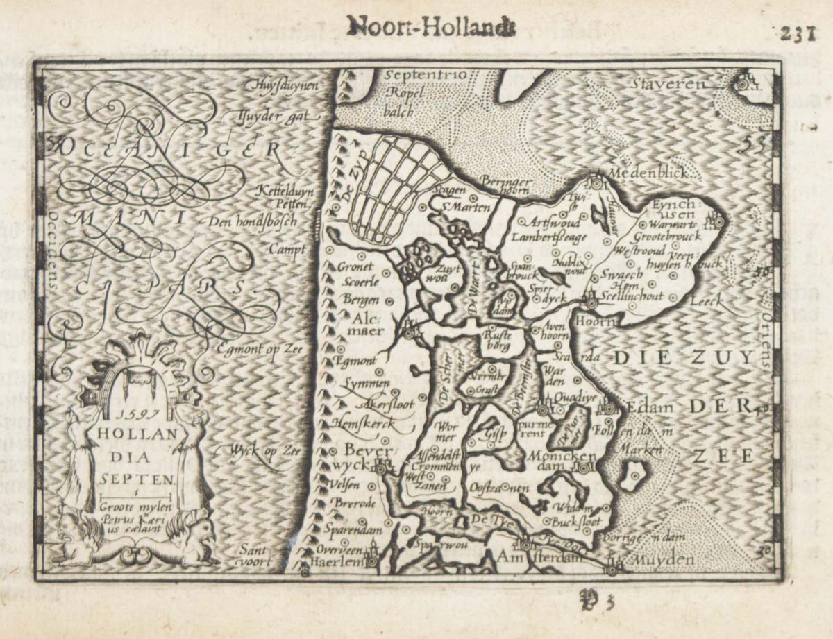


A 16th century miniature map of North Holland
1597. Hollandia Septen.
Amsterdam, Cornelis Claez, 1599, Dutch text edition. 85 x 125, with letterpress surtitle and pagination.
£70.00
1 in stock
x
Question About This Item?
A 16th century miniature map of North Holland & LANGENES, Barent.Stock #: 21160"*" indicates required fields
Similar to Sell?
Add to Wishlist
Add to Wishlist
Description
A scarce map of North Holland, engraved by either Pieter van den Keere or Jodocus Hondius for the 1598 'Caert-Thresoor', with a text by an unknown author. Despite being published a year after the first edition, this is a second state: the lateral borders have been re-engraved with latitude graduations.
By 1600 this map was being published in the 'Tabularum Geographicarum Contractarum' with a text by Petrus Bertius, and in 1616 a new plate was engraved by Jodocus Hondius II, slightly larger and with wider borders with scales of longitude and latitude.
Condition:
Some age toning.Related products
-

Scarce map of the Netherlands, with a fine maritime cartouche
CORONELLI, Vincenzo Maria. Date: 1690Stock #: 23087 £900.00 -

An important Leo Belgicus in fine original colour
LANGREN, Hendrik Floris van. Date: 1617Stock #: 26082 £18,000.00 -

A 17th century town plan of Rotterdam
JANSSON, Jan. Date: 1698Stock #: 22687 £980.00 -

The environs of Maastricht and the Battle of Lauffeldt
JEFFERYS, Thomas. Date: 1747Stock #: 21641 £140.00 -
![[Brittenburg] tHuys te Britten. by LANGENES, Barent., 1599.](data:image/svg+xml,%3Csvg%20xmlns='http://www.w3.org/2000/svg'%20viewBox='0%200%20300%20225'%3E%3C/svg%3E)
A 16th century miniature plan of a Roman fort
LANGENES, Barent. Date: 1599Stock #: 21306 £290.00 -

The Netherlands ‘Egg’ Map by Ortelius
ORTELIUS, Abraham. Date: 1574Stock #: 12887 £850.00 -

A scarce plan of the defences of Maastricht
BEAURAIN, Jean de. Date: 1760Stock #: 20557 £480.00 -

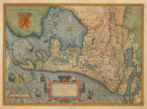
16th century Dutch map of the county of Holland
ORTELIUS, Abraham. Date: 1573Stock #: 26458 £1,100.00 -
A 16th century miniature map of Zeeland
LANGENES, Barent. Date: 1599Stock #: 21159 £70.00
![[Brittenburg] tHuys te Britten. by LANGENES, Barent., 1599.](https://altea-gallery-cdn.s3.eu-west-2.amazonaws.com/wp-content/uploads/2025/05/10125314/alteashop_21306-300x225.jpg)
Items by the same author
Add to Wishlist
Add to Wishlist

Add to Wishlist
Add to Wishlist
Add to Wishlist
Add to Wishlist
Add to Wishlist
Add to Wishlist

A 16th century miniature map of Saxony, Thuringia & Meissen
LANGENES, Barent. Date: 1599 Stock #: 21173 £50.00
Add to Wishlist
Add to Wishlist

Add to Wishlist
Add to Wishlist
