
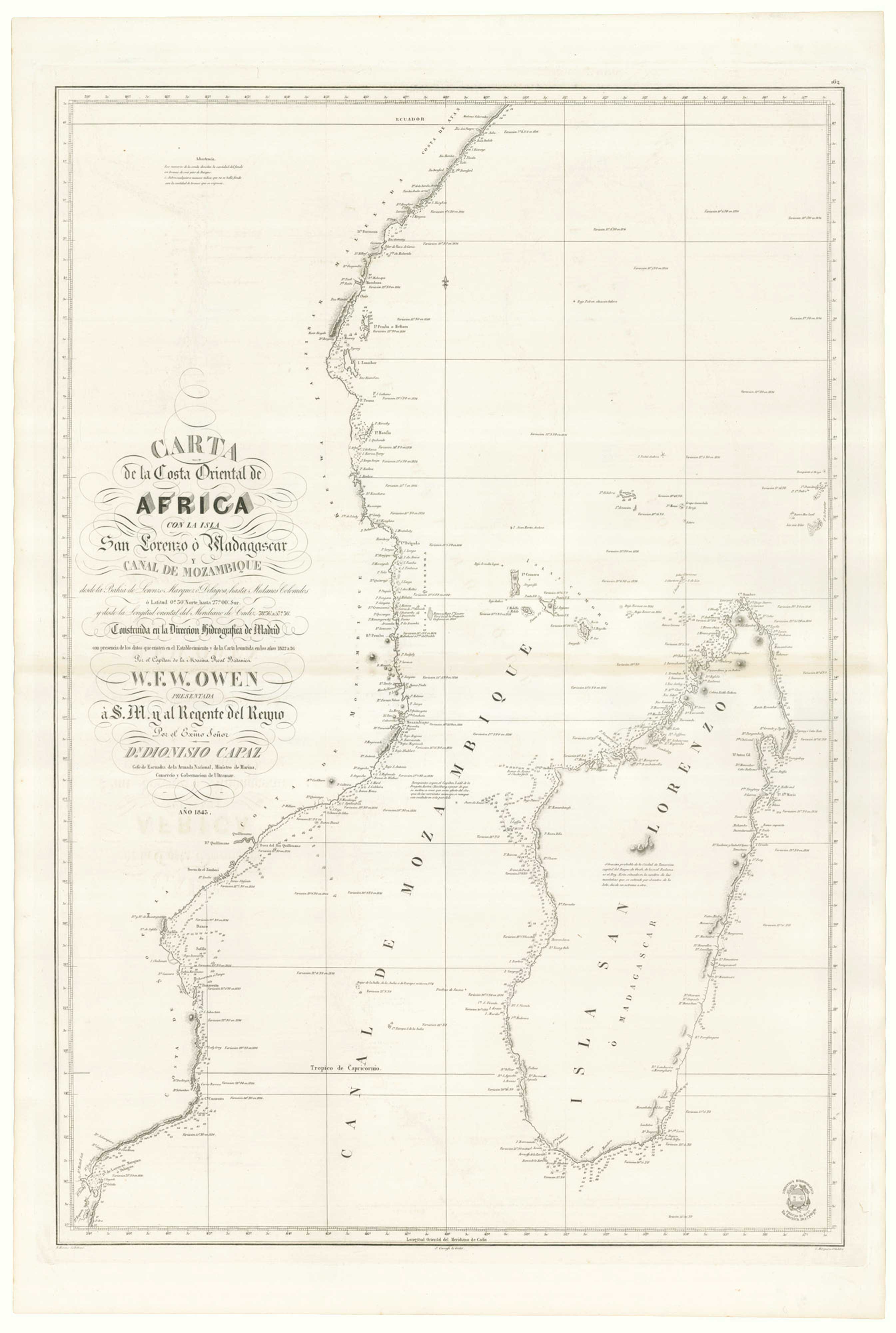


A Spanish sea chart of Madagascar and Mozambique
Carta de la Costa Oriental de Africa con la Isla San Lorenzo ò Madagascar y Canal de Mozambique desde la Bahia de Lorenzo Marques ó Delagoa, hasta Medanos Colorados...
Madrid: Direccion de Hidrografia, 1843. 925 x 645mm.
£900.00
1 in stock
x
Question About This Item?
A Spanish sea chart of Madagascar and Mozambique & OWEN, William Fitzwilliam.Stock #: 25912"*" indicates required fields
Similar to Sell?
Add to Wishlist
Add to Wishlist
Description
A scarce Spanish edition of a seachart by Royal Navy Captain William Owen surveyed between 1822 and 1826. It shows the African mainland from Maputo north to the equator, marking Mombasa in Kenya. Madagascar features prominently, but Zanzibar and the Comoros islands are also marked.
Owen carried out extensive hydrographic surveys in South Africa and Canada and ended his career as vice-admiral.
Condition:
A very fine example.Related products
-

Maps of Bermuda and other islands in the Atlantic
TALLIS, John. Date: 1851Stock #: 17752 £100.00 -

Madeira
BELLIN, Jacques-Nicolas. Date: 1746Stock #: 10178 £150.00 -

Read’s map of Napoleon’s exile on St Helena, Second State
READ, R.P. Date: 1817Stock #: 22662 £1,200.00 -

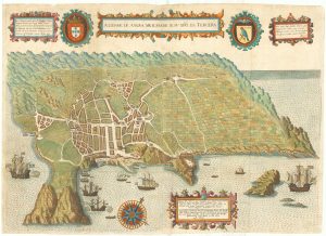
Early map of Tercera
LINSCHOTEN, Jan Huygen van. Date: 1601Stock #: 19798 £900.00 -

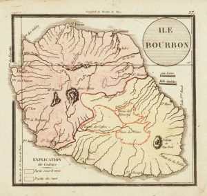
19th century miniature map of Reunion
Anonymous. Date: 1820Stock #: 13520 £130.00 -

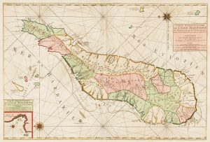
Mortier’s sea chart of Madagascar in full original colour
MORTIER, Pierre. Date: 1700Stock #: 14518 £1,100.00 -

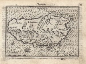
A 16th century miniature map of Terceira
LANGENES, Barent. Date: 1599Stock #: 21295 £150.00 -

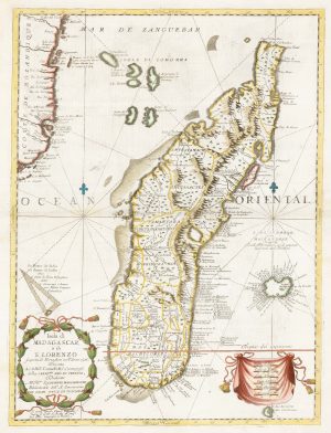
17th century map of Madagascar
CORONELLI, Vincenzo Maria. Date: 1690Stock #: 22294 £550.00 -

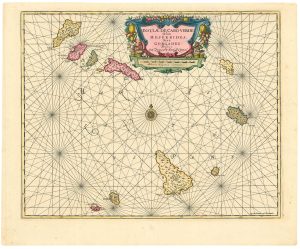
Dutch sea chart of the Cape Verde Islands
JANSSON, Jan. Date: 1730Stock #: 24813 £500.00
Items by the same author
Add to Wishlist
Add to Wishlist
