

A mid-19th century sea chart of the Bahamas and Florida
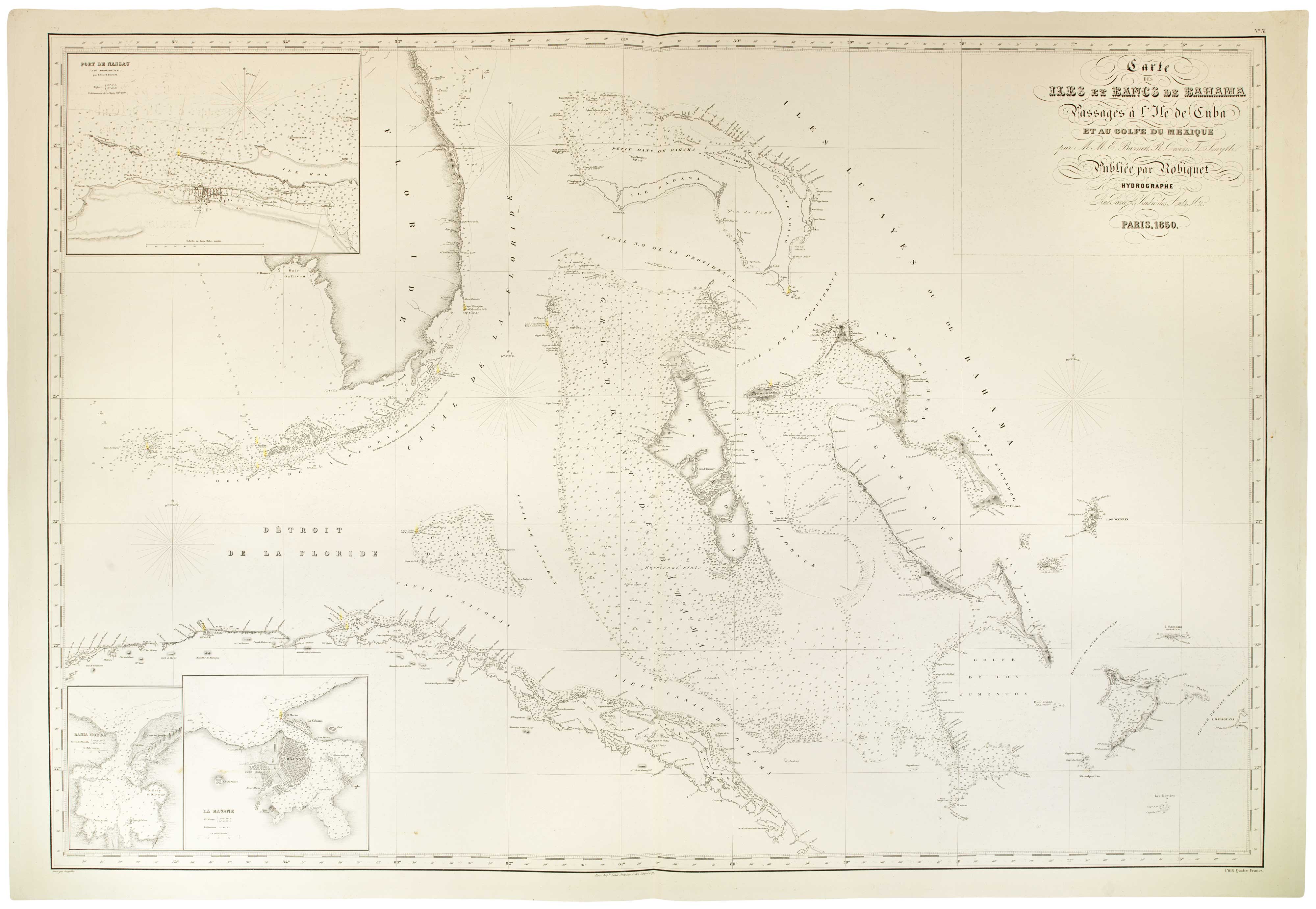
Carte des Iles et Bancs de Bahama Passages à l'Isle de Cuba ey au Golfe de Mexique par M.M. E. Barnett, R. Owen, T. Smyth.
Paris: Robiquet, 1850. Touches of original colour. 710 x 1030mm.
£2,400.00
1 in stock
x
Question About This Item?
A mid-19th century sea chart of the Bahamas and Florida & ROBIQUET, Aimé.Stock #: 26197"*" indicates required fields
Similar to Sell?
Add to Wishlist
Add to Wishlist
Description
A large and detailed sea chart of the Bahamas with the Straits of Florida, with the lighthouses marked with hand colour. Florida is shown from Fort Pierce south to the Keys and west to Cape Romano, with Fort Lauderdale, Fort Dallas and Cape Florida marked, but not Miami. The north coast of Cuba is shown from Bahia Honda east to Nuevitas, with Havana and Matzanzas marked. Three insets show details of Nassau, Baia Hona and Havana.