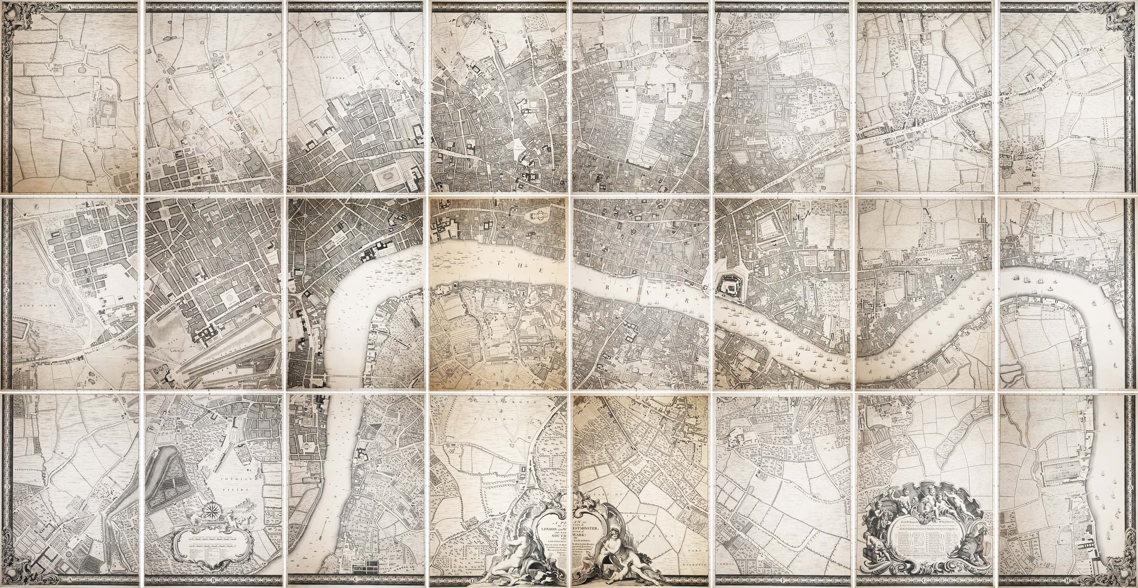


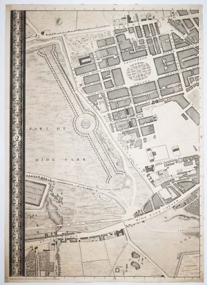
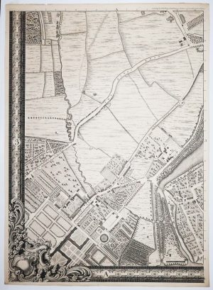
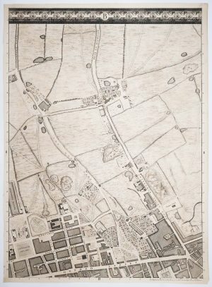
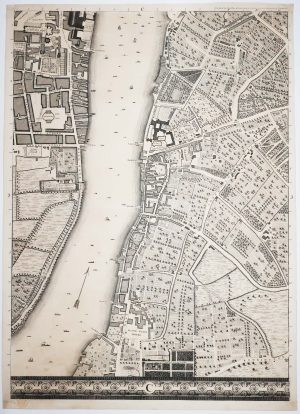
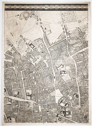
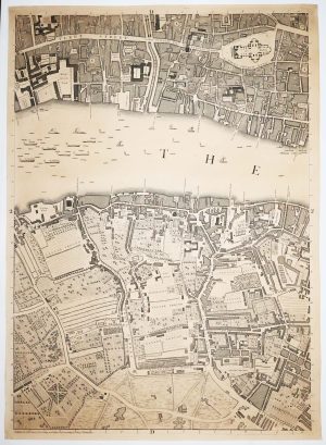
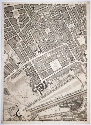
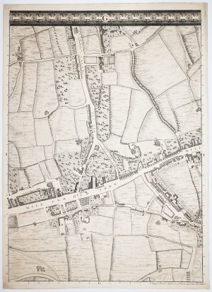
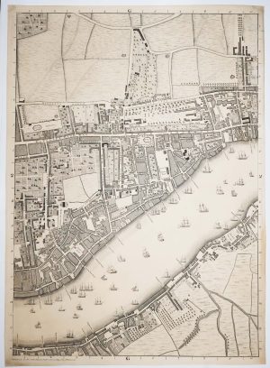
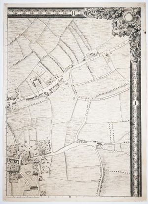
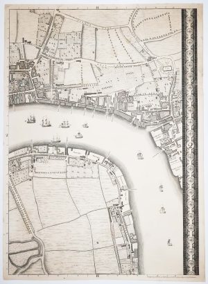
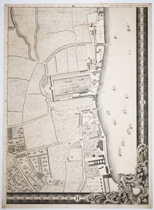
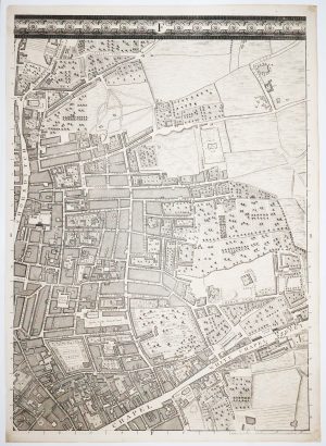
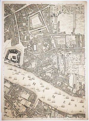
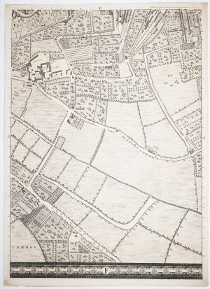
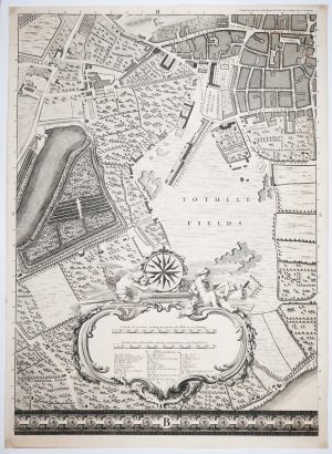
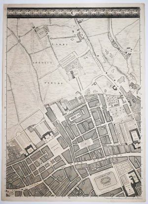
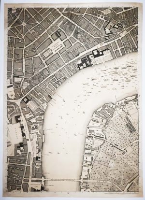
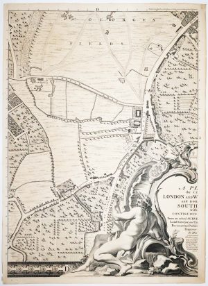
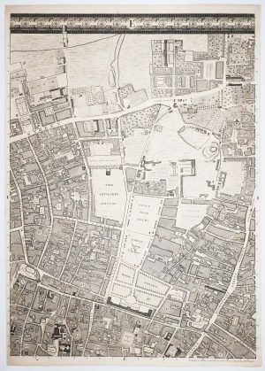
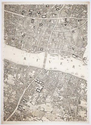
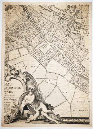
Rocque’s monumental plan of London on 24 sheets
A Plan of the Citiies of London and Westminster, and Borough of Southwark; with the Contiguous Buildings; From an actual Survey, taken by John Rocque, Land-Surveyor, and Engraved by John Pine, - Engraver of Seals, &c. To His Majesty.
London: John Pine and John Tinney, c.1749. 24 double-page maps, each 690 x 500mm, unfolded. total (if joined c. 2070 x 4000mm. In custom case.
£100,000.00
1 in stock
x
Question About This Item?
Rocque’s monumental plan of London on 24 sheets & ROCQUE, John.Stock #: 23187"*" indicates required fields
Similar to Sell?
Add to Wishlist
Add to Wishlist
Description
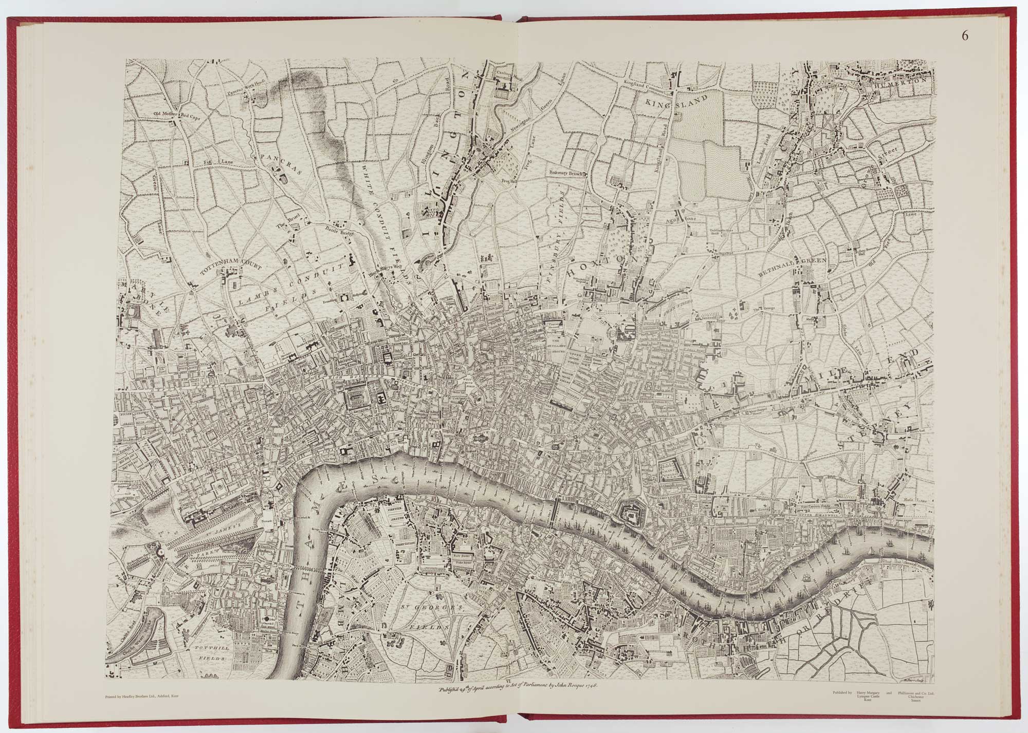
Rocque's landmark map of London, the largest to be published up to that time, at 26 inches to a mile, covering from New River Head, Limehouse, Walworth to Knightsbridge and Chelsea Waterworks. He used his experience as an estate-surveyor to introduce different hachuring to denote the usage of land, including pasture, formal gardens and orchards.
According to the engraved text under the title, the surveying work was begun in March 1737; the completed map was first published in 1746. This second edition, with the same publication date on the plates and only minor alterations is dated c.1749 by Darlington & Howgego because Chesterfield House, completed that year, has been added.
The incredible amount of detail on this map makes it an invaluable resource for the history of London in the reign of George II.
Condition:
A few sheets age-toned, a few small tears repaired.Related products
-

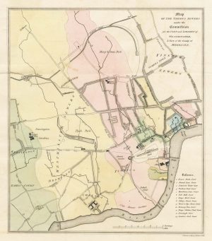
A map of the sewers of London in the early 19th century
BACON, J. Date: 1815Stock #: 26709 £160.00 -

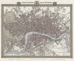
A plan of London during the reign of William IV
CREIGHTON, R. Date: 1834Stock #: 25361 £480.00 -

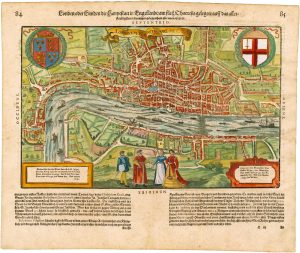
Early woodblock map of Elizabethan London
MUNSTER, Sebastian. Date: 1628Stock #: 26518 £1,400.00 -

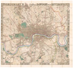
A superb wall map of London in 1830
CRUCHLEY, George Frederick. Date: 1830Stock #: 26346 £9,000.00 -

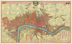
A pirate edition of Morden & Lea’s map of London
MORDEN, Robert & LEA, Philip. Date: 1750Stock #: 22890 £5,000.00 -

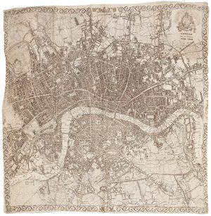
A very scarce handkerchief map of London
Anonymous. Date: 1832Stock #: 20799 £2,800.00 -

The earliest available printed map of London
BRAUN, Georg & HOGENBERG, Frans. Date: 1574Stock #: 26543 £7,500.00 -

The elusive FIRST STATE of the earliest available printed map of London
BRAUN, Georg & HOGENBERG, Frans. Date: 1572Stock #: 26498 £15,000.00 -
A rare tourist’s plan of London for the Great Exhibition of 1851
HECK, Johann Georg. Date: 1851Stock #: 20360 £1,400.00
Items by the same author
Add to Wishlist
Add to Wishlist

Add to Wishlist
Add to Wishlist
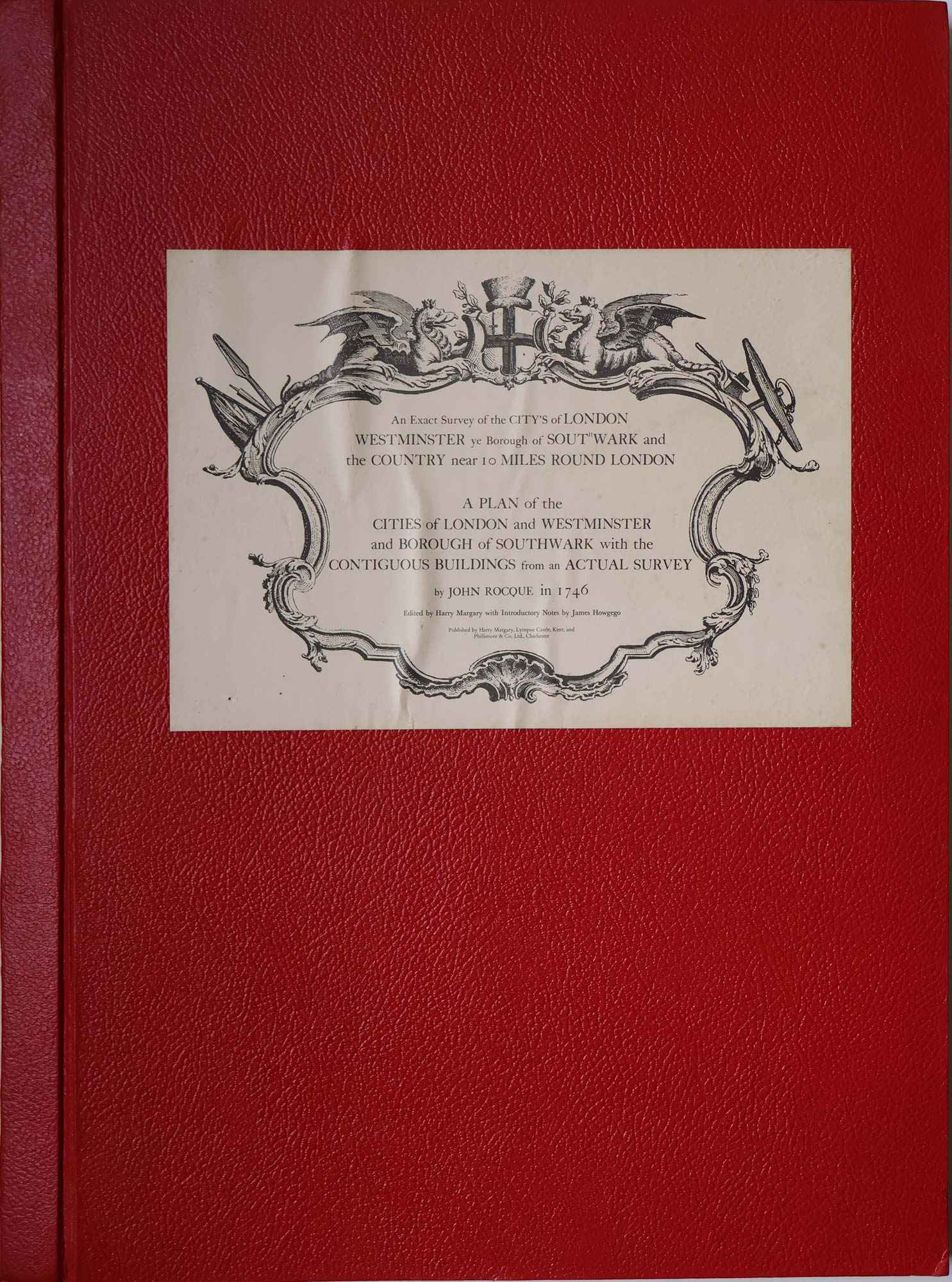
Facsimile of both Rocque's 24 & 16-sheet map of London
ROCQUE, John. Date: 1971 Stock #: 24478 £650.00
Add to Wishlist
Add to Wishlist