

Pictorial map of Bombay (Mumbai)
Bombay.
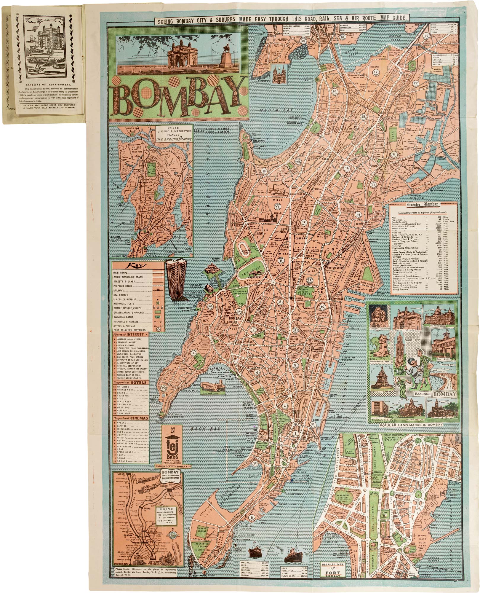
Bombay, 1967. Accompanied by original illustrated holder. Colour printed map. Sheet 760mm x 505mm.
£300.00
1 in stock
x
Question About This Item?
Pictorial map of Bombay (Mumbai) & TEJ BROTHERS.Stock #: 26065"*" indicates required fields
Similar to Sell?
Add to Wishlist
Add to Wishlist
Description
A pictorial map of Bombay (modern Mumbai), produced by the Tej Brothers, a commercial printer and map publisher active in the post-independence period. Issued for the International Tourist Fair held in Bombay in 1967, part of India’s mid-1960s initiative to promote tourism and cultural exchange.
The map extends from Mahim Creek (Mithi River) in the north to Colaba Point in the south, depicting areas, roads, waterfronts and civic landmarks with simplified illustrative detail.
At right, an inset titled "Beautiful Bombay" highlights notable sights, including the Rajabai Clock Tower and the Gateway of India. Additional insets show railway connections and scenic road routes around the city. Surrounding text panels provide practical information for visitors, including places of interest, cinemas, and brief introductory notes on the city.
Condition:
Slight signs of wear.Related products
-

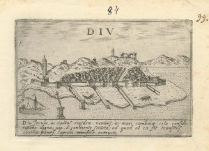
A 16th century Italian plan of Diu Island
VALEGIO, Francesco. Date: 1598Stock #: 24140 £200.00 -
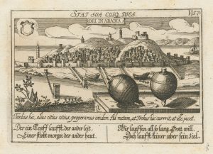
An unusual 17th century prospect of Diu, India
MEISNER, Daniel. Date: 1640Stock #: 24676 £150.00 -

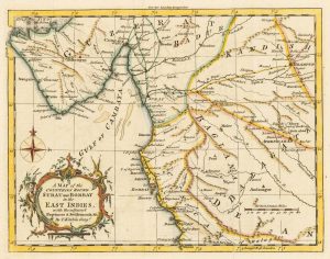
A map of the area surrounding Bombay
KITCHIN, Thomas. Date: 1759Stock #: 22950 £140.00 -

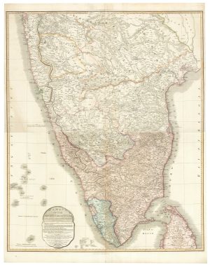
A two-sheet map of India
FADEN, William. Date: 1824Stock #: 23848 £620.00 -

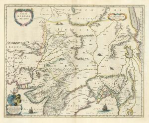
17th century map of the Mogol Empire in northern India
BLAEU, Johannes. Date: 1640Stock #: 24911 £750.00 -

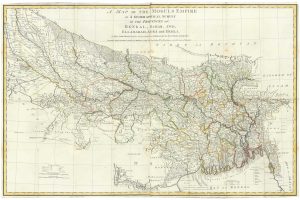
Rennell’s mapping of northern India and Bengal
RENNELL, James. Date: 1778Stock #: 24721 £1,400.00 -

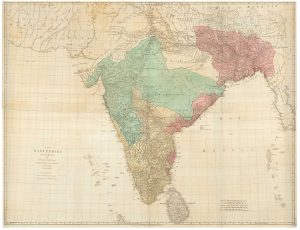
A four-sheet map of India in the 18th century
JEFFERYS, Thomas. Date: 1768Stock #: 23966 £2,800.00 -

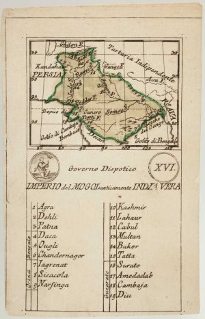
An 18th century playing-card map of the Mughal Empire
RABATTA, Augusto & BAILOU, Jean Baptist de. Date: 1779Stock #: 13009 £200.00 -

A late 18th century French map of India
MENTELLE, Edme. Date: 1797Stock #: 23905 £140.00