


Eighteenth century map of Sri Lanka
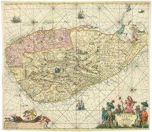
Nieuwe kaart van 't eiland Ceilon.
Amsterdam, c. 1750. Fine original colour. 295 x 380mm, with wide margins.
£300.00
1 in stock
x
Question About This Item?
Eighteenth century map of Sri Lanka & TIRION, Isaak.Stock #: 22581"*" indicates required fields
Similar to Sell?
Add to Wishlist
Add to Wishlist
Description
A very fine example of this map of Sri Lanka orientated with north to the left.
Condition:
A good example.Related products
-

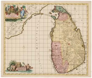
A scarce map of Sri Lanka in full original colour.
DE RAM, Johannes. Date: 1730Stock #: 22572 £980.00 -

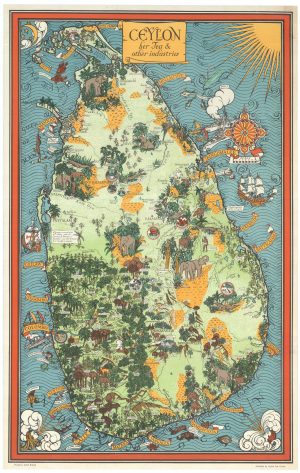
A vivid advertising poster for Sri Lanka and its tea
GILL, Leslie MacDonald. Date: 1946Stock #: 26554 £2,000.00 -

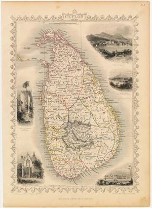
A mid-19th century map of Sri Lanka decorated with vignettes
TALLIS, John. Date: 1851Stock #: 21784 £190.00 -

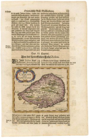
An 17th century map of Sri Lanka
ROTHGIESSER, Andres Lorensen. Date: 1696Stock #: 21644 £240.00 -

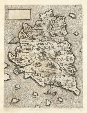
A ‘Lafreri-type’ map of Taprobana
LAFRERI, Antonio. Date: 1570Stock #: 25210 £2,800.00 -

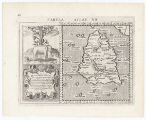
16th century map of Taprobana
MAGINI, Giovanni Antonio. Date: 1596Stock #: 23776 £250.00 -

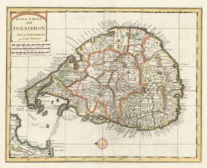
18th century map of Sri Lanka
TIRION, Isaak. Date: 1740Stock #: 24548 £260.00 -

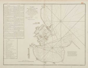
18th century chart of Trincomalee
APRÈS DE MANNEVILLETTE, Jean Baptiste d'. Date: 1775Stock #: 17489 £600.00 -

A 17th century Dutch sea chart of Sri Lanka
KEULEN, Johannes van. Date: 1710Stock #: 25851 £1,850.00
Items by the same author
Add to Wishlist
Add to Wishlist

One of the earliest obtainable maps of Southern California
TIRION, Isaak. Date: 1765 Stock #: 26246 £600.00
Add to Wishlist
Add to Wishlist
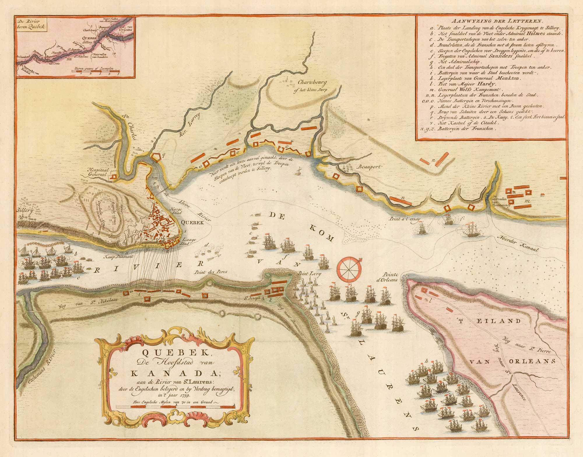
The British attack on Quebec during the Seven Years' War
TIRION, Isaak. Date: 1760 Stock #: 26057 £350.00
Add to Wishlist
Add to Wishlist
Add to Wishlist
Add to Wishlist
Add to Wishlist
Add to Wishlist
Add to Wishlist
Add to Wishlist
