

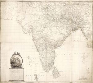
A large and superbly detailed map of India under East India Company rule
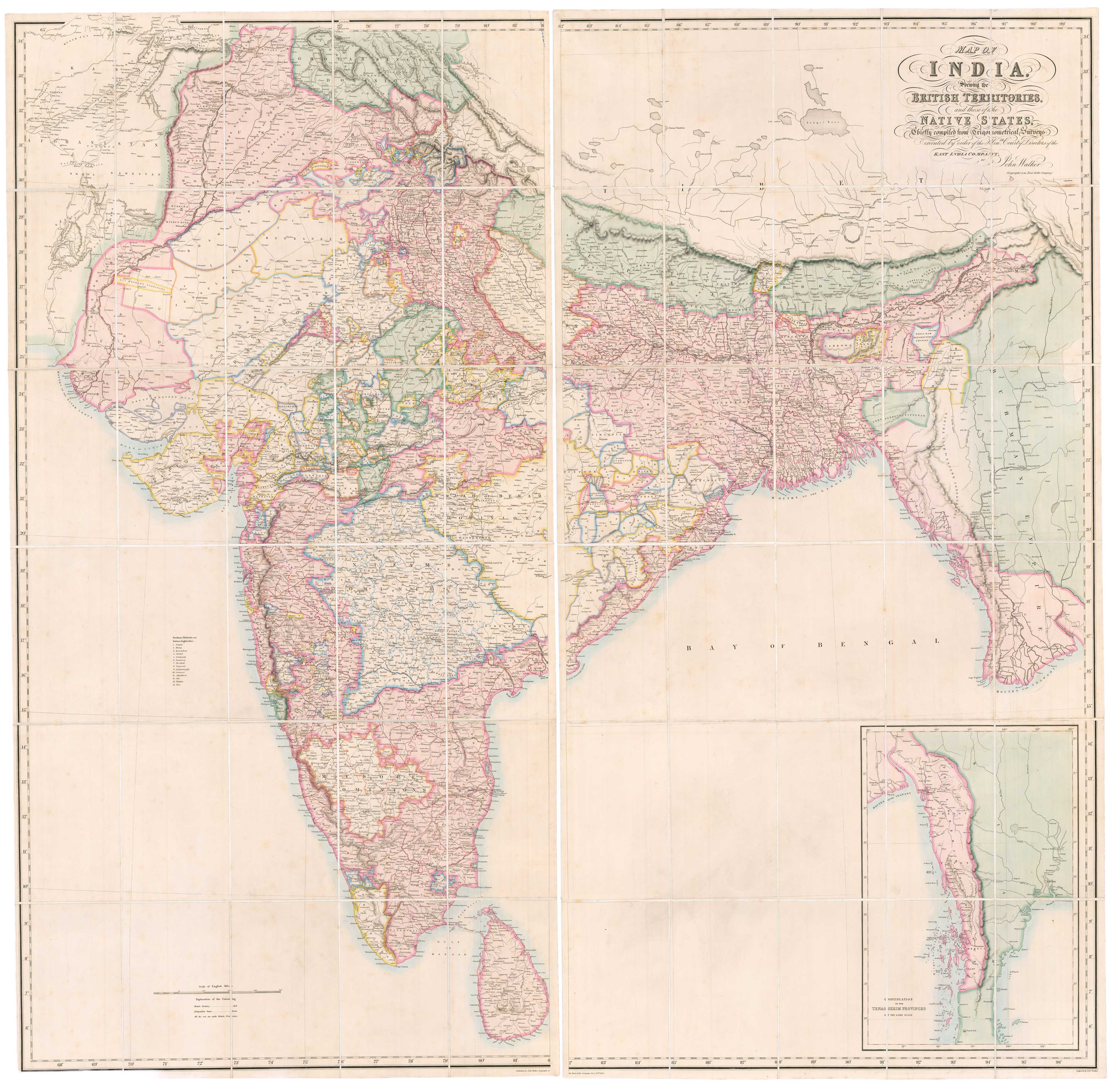
Map of India Shewing the British Territories and those of the Native States, Chiefly compiled from Trigonometrical Surveys Executed by order of the Hon.ble Court of Directors of the East India Company, by John Walker, Geographer to the East India Company.
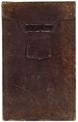
London: John Walker, 1852. Fine original colour. Two sheets, each 1685 x 855mm (total if joined c.1685 x 1710mm), laid on linen as issued, folded into its original tan morocco slipcase, gilt labeled on edge.
£6,000.00
1 in stock
x
Question About This Item?
A large and superbly detailed map of India under East India Company rule & WALKER, John.Stock #: 26520"*" indicates required fields
Similar to Sell?
Add to Wishlist
Add to Wishlist
Description
A large and superbly detailed map of India in fine original colour, also showing Nepal, Bhutan and Burma, as wells as part of Afghanistan. British possessions are marked in red and independent states in green, with regions of our colours 'under British Protection'.
The map was based on the East India Company's 'Great Trigonometrical Survey', begun in 1802, and was published only five years before the Indian Rebellion of 1857 caused the nationalisation of the Company by the British government.
Condition:
A superb example of the map, small split in box lid.Related products
-

Mid-19th century map of Northern India with decorative vignettes
TALLIS, John. Date: 1851Stock #: 21794 £190.00 -

Benjamin Lacam’s long legal battle with the East India Company
HANSARD, Luke. Date: 1806Stock #: 23947 £900.00 -

Map of Northern India from Varthema’s Travels
VARTHEMA, Ludovico di. Date: 1610Stock #: 13207 £320.00 -

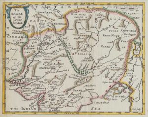
A scarce 17th century map of the Mogol Empire
BERNIER, Francois. Date: 1671Stock #: 19644 £450.00 -

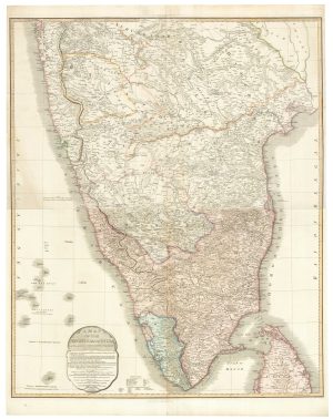
A two-sheet map of India
FADEN, William. Date: 1824Stock #: 23848 £620.00 -

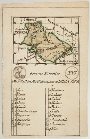
An 18th century playing-card map of the Mughal Empire
RABATTA, Augusto & BAILOU, Jean Baptist de. Date: 1779Stock #: 13009 £200.00 -

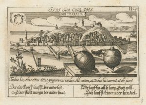
An unusual 17th century prospect of Diu, India
MEISNER, Daniel. Date: 1640Stock #: 24676 £150.00 -

An Austrian edition of Rennell’s wall map of India
RENNELL, James. Date: 1788Stock #: 23140 £1,850.00 -

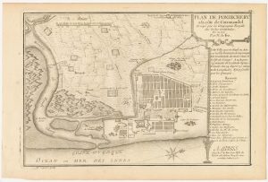
A plan of Puducherry at the beginning of the 18th century
FER, Nicolas de. Date: 1705Stock #: 23913 £160.00
Items by the same author
Add to Wishlist
Add to Wishlist