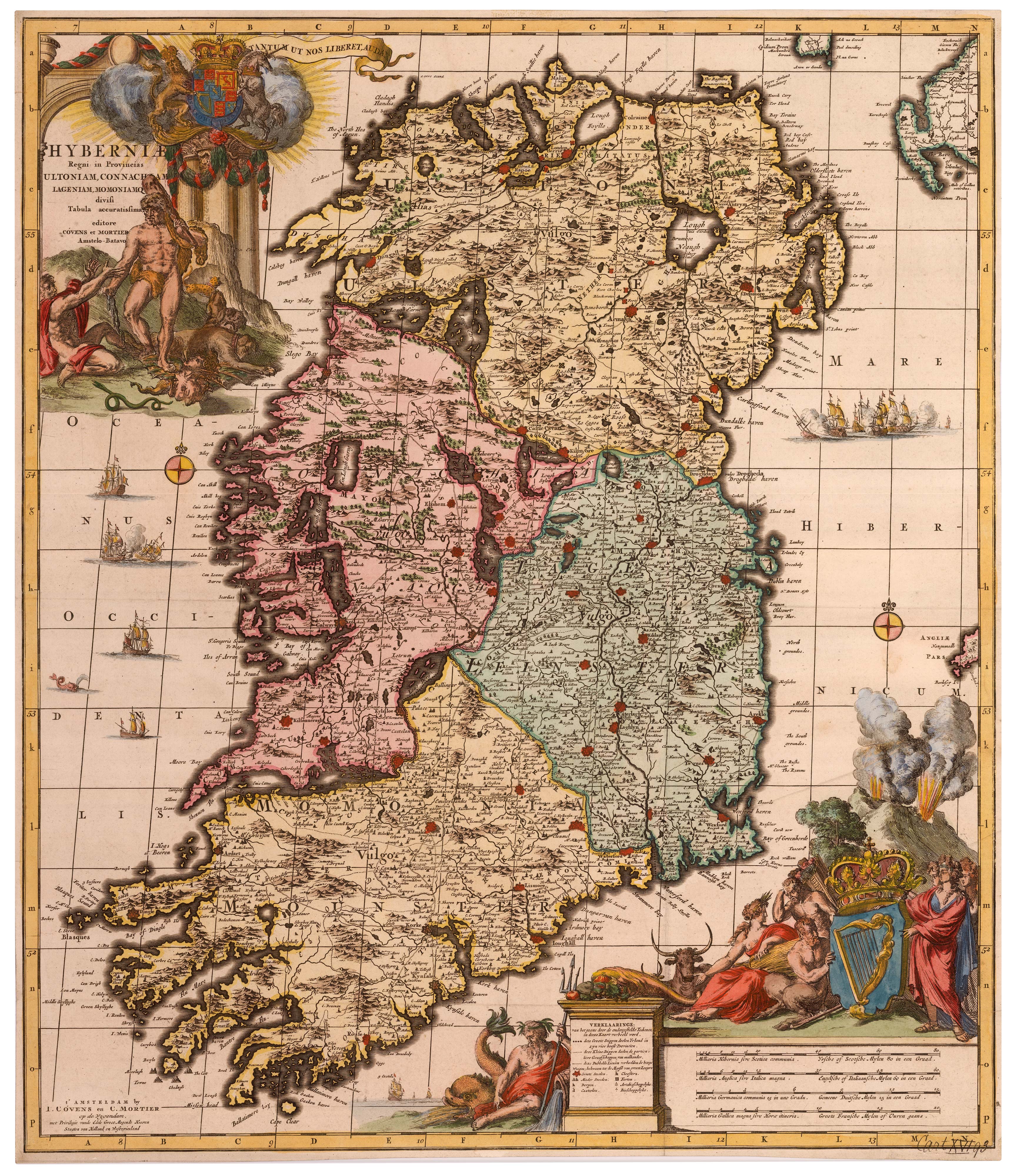
Antique Maps by ALLARD, Carel.
Carel Allard (1648–1709) was a Dutch engraver, publisher and mapmaker active in Amsterdam, best known for issuing decorative late Golden Age maps and for sustaining the Allard family’s position within the city’s competitive print trade. His work matters for the way it repackaged authoritative geographic information in handsome, saleable formats at a moment when Dutch cartography was shifting from original compilation towards skilful re-engraving and commercial adaptation.
Allard published a wide range of maps, including world and continental subjects, frequently distinguished by elaborate title cartouches and strong ornamental engraving. Like many Amsterdam publishers of the period, he drew on established sources and reissued plates to meet an international market for both wall maps and atlas sheets.
He was part of the Allard cartographic dynasty founded by his father Hugo Allard, and his own plates and stock continued to circulate after his death through the family business. Prints bearing the Allard imprint are therefore valued not only as individual maps but also as evidence of how Amsterdam’s map trade perpetuated and refreshed earlier cartographic models for new audiences.
→ Explore more works by Carel Allard