
Antique Maps by DELISLE, Guillaume.
Guillaume Delisle (1675–1726) was a French cartographer whose work helped establish a new, more critical standard for mapmaking in the early eighteenth century. Regarded as one of the leading figures of the so-called ‘scientific’ school of French cartography, he is significant for applying scholarly evaluation of sources and astronomical observations to produce maps noted for their improved geographical accuracy.
Delisle was trained in Paris and developed close connections with the intellectual institutions of his day, drawing on reports from explorers, missionaries and official informants. His maps of North America, Russia and the wider world were especially influential, refining the depiction of river systems, coastlines and political geography and tempering speculative elements that had persisted in earlier cartography.
His plates were widely copied and reissued, and his approach shaped French commercial map publishing for decades. After his death, the Delisle mapmaking enterprise continued through his associates and successors, helping to transmit his cartographic models across Europe.
→ Explore more works by Guillaume Delisle


Map of the Holy Land and Cyprus for a history of the Crusades
DELISLE, Guillaume. Date: 1780 Stock #: 20578 £750.00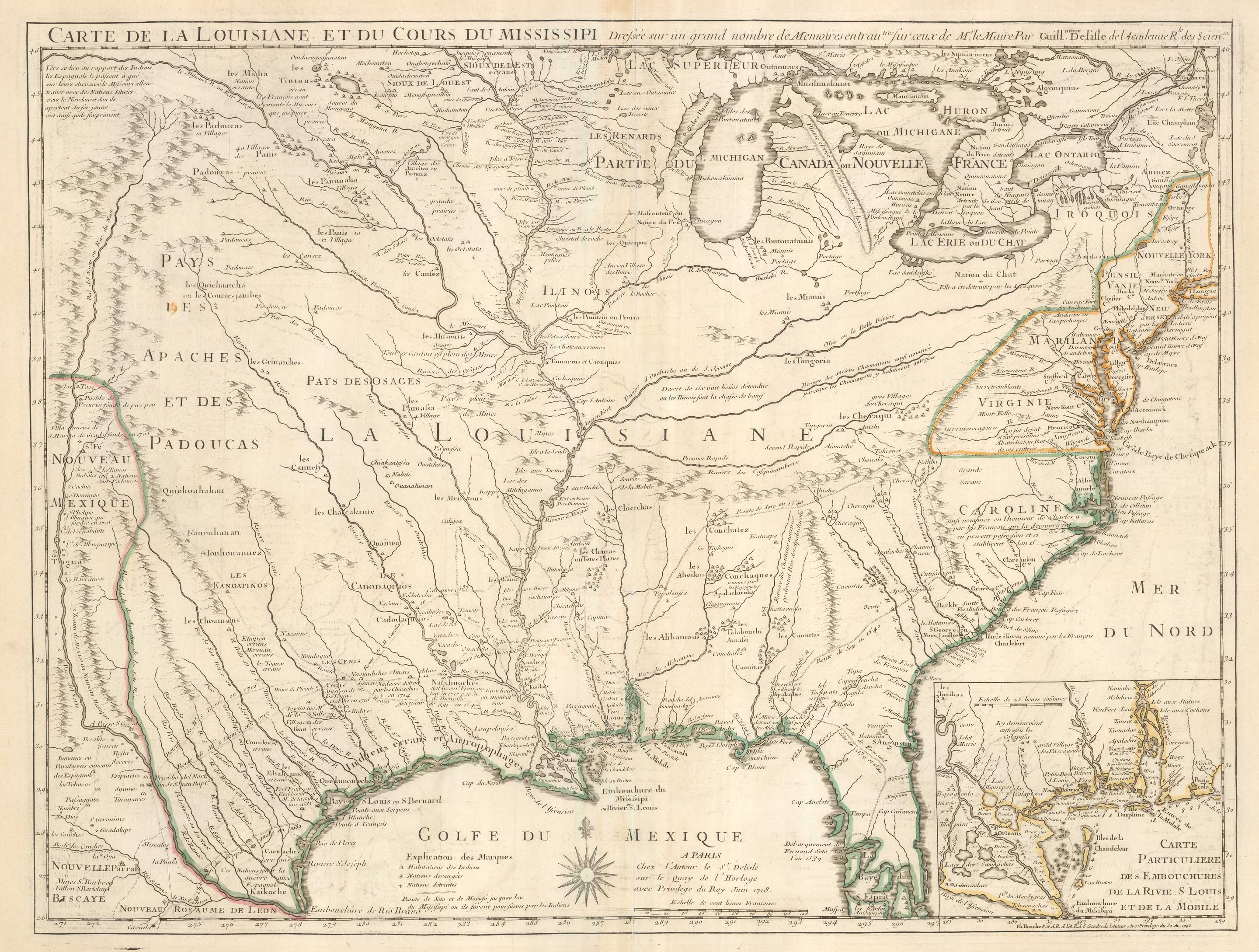
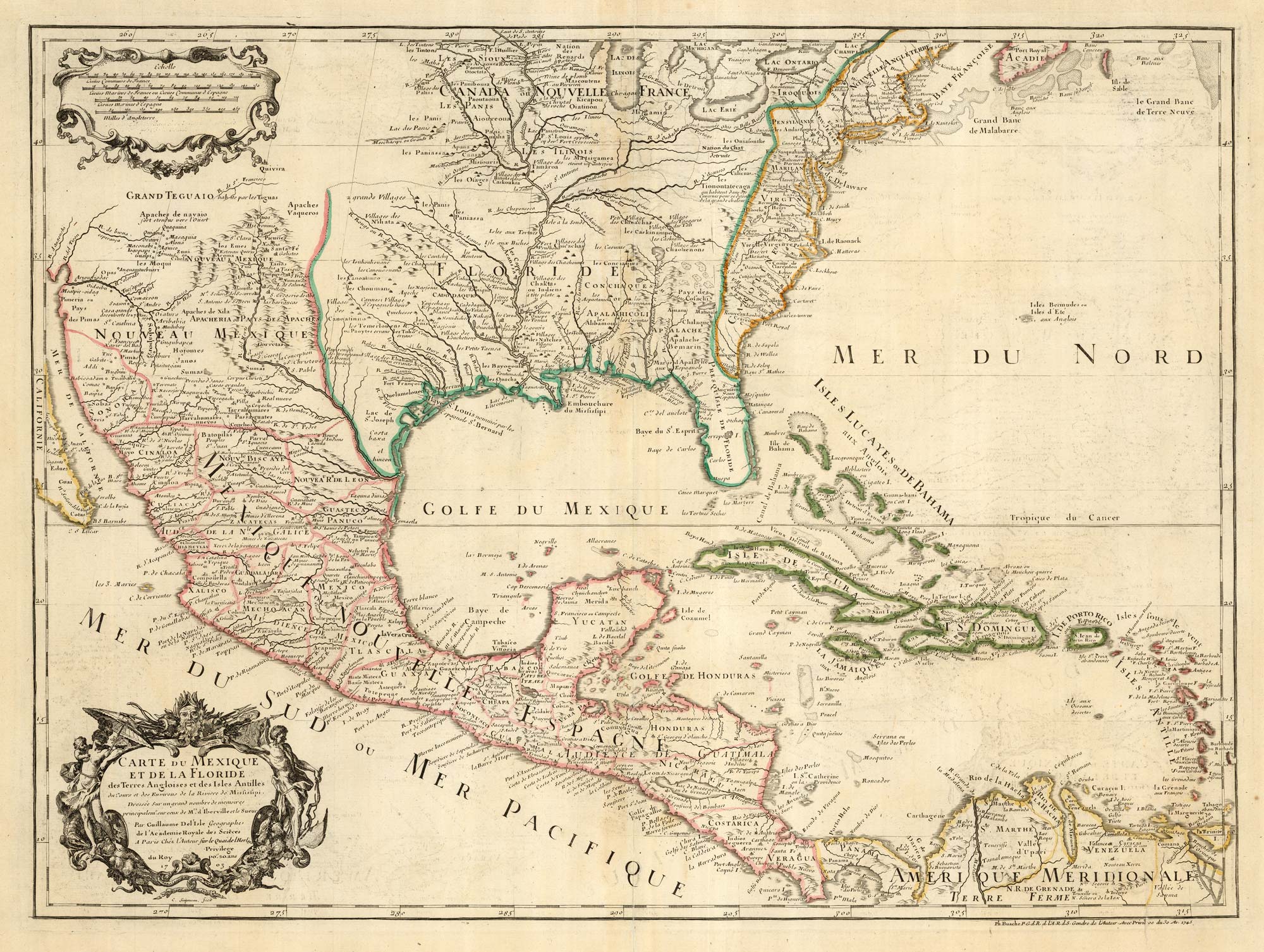
The first printed map to accurately map the Mississippi River
DELISLE, Guillaume. Date: 1745 Stock #: 25238 £850.00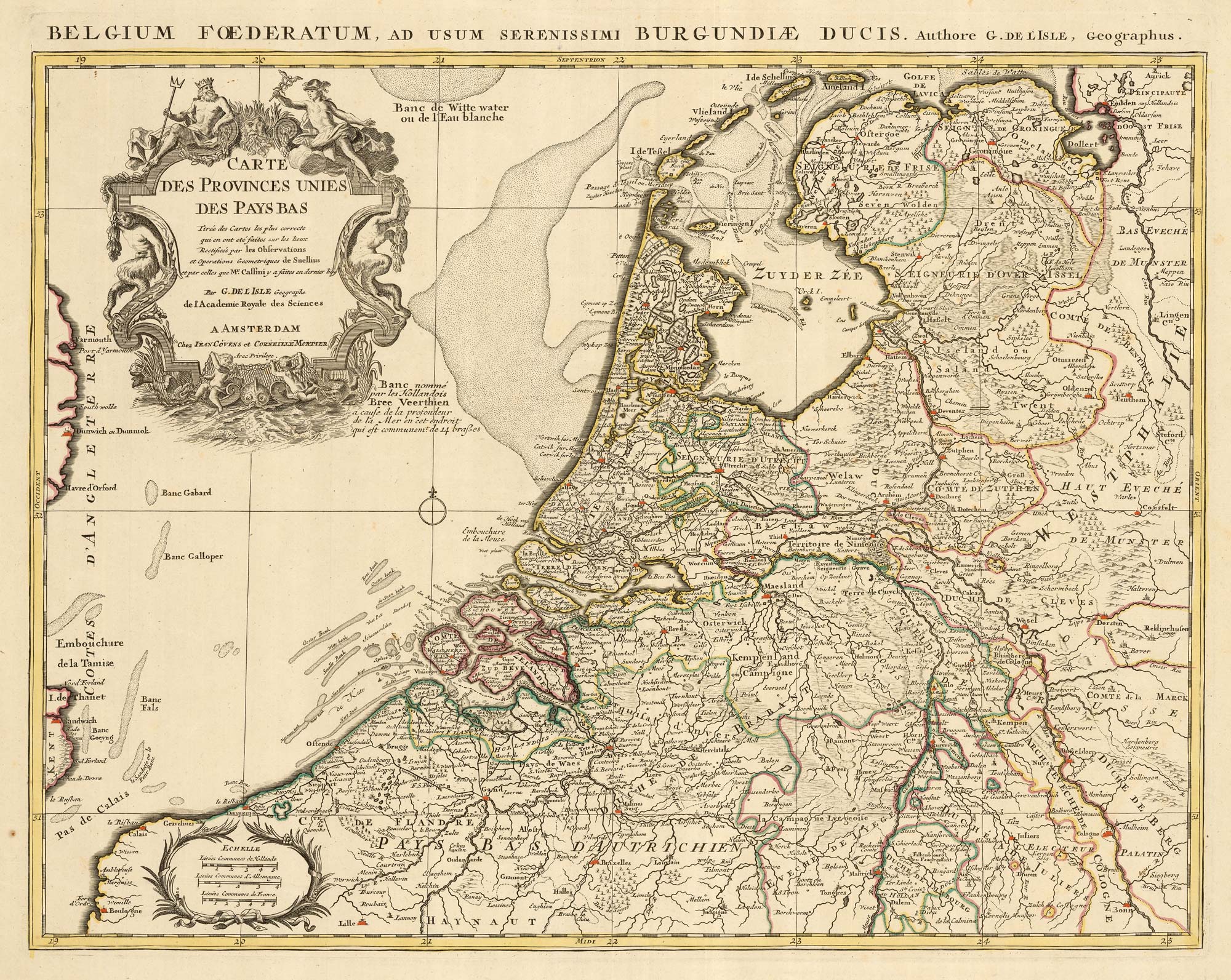
A detailed 18th century map of the Netherlands
DELISLE, Guillaume. Date: 1730 Stock #: 24456 £300.00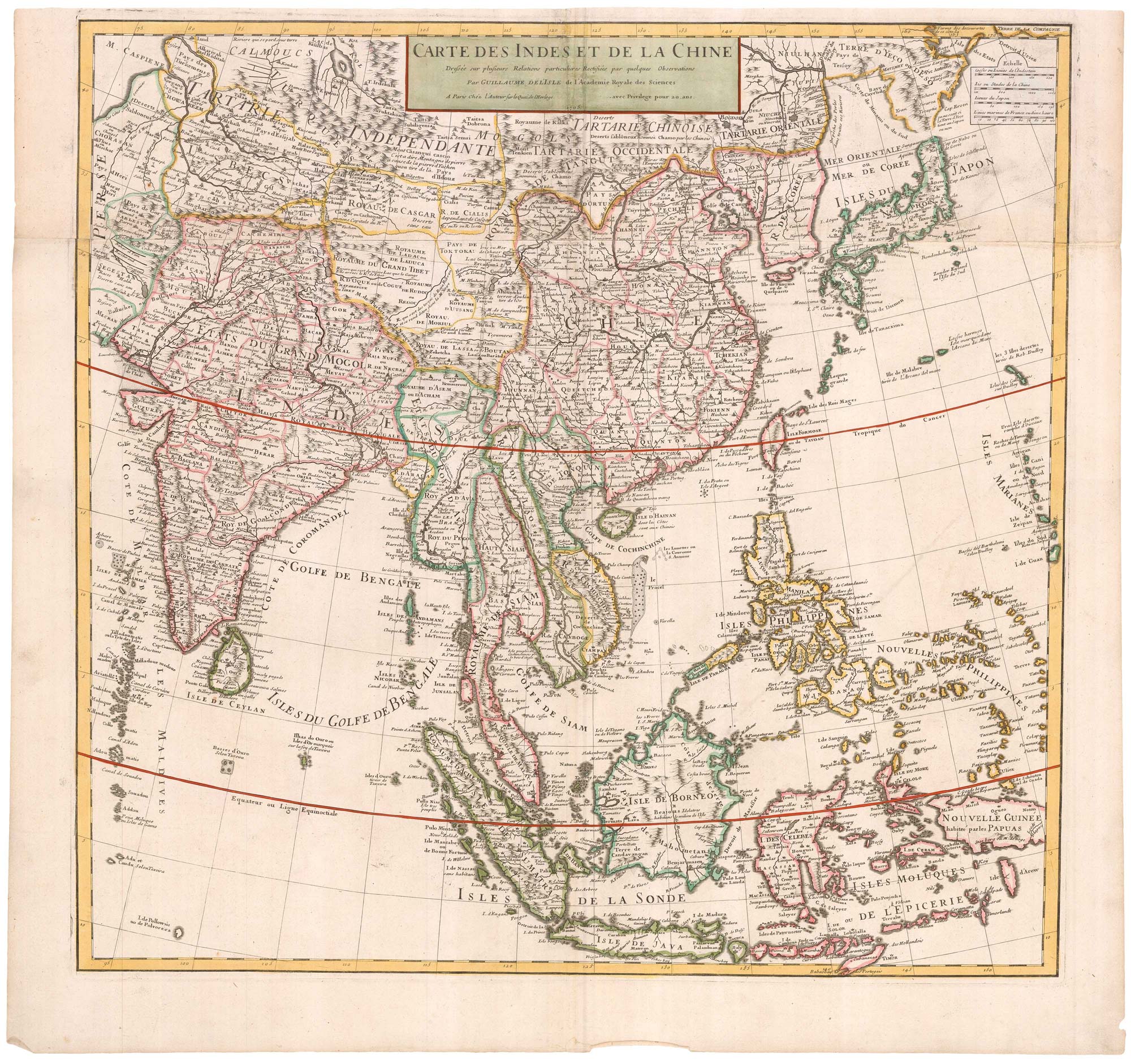
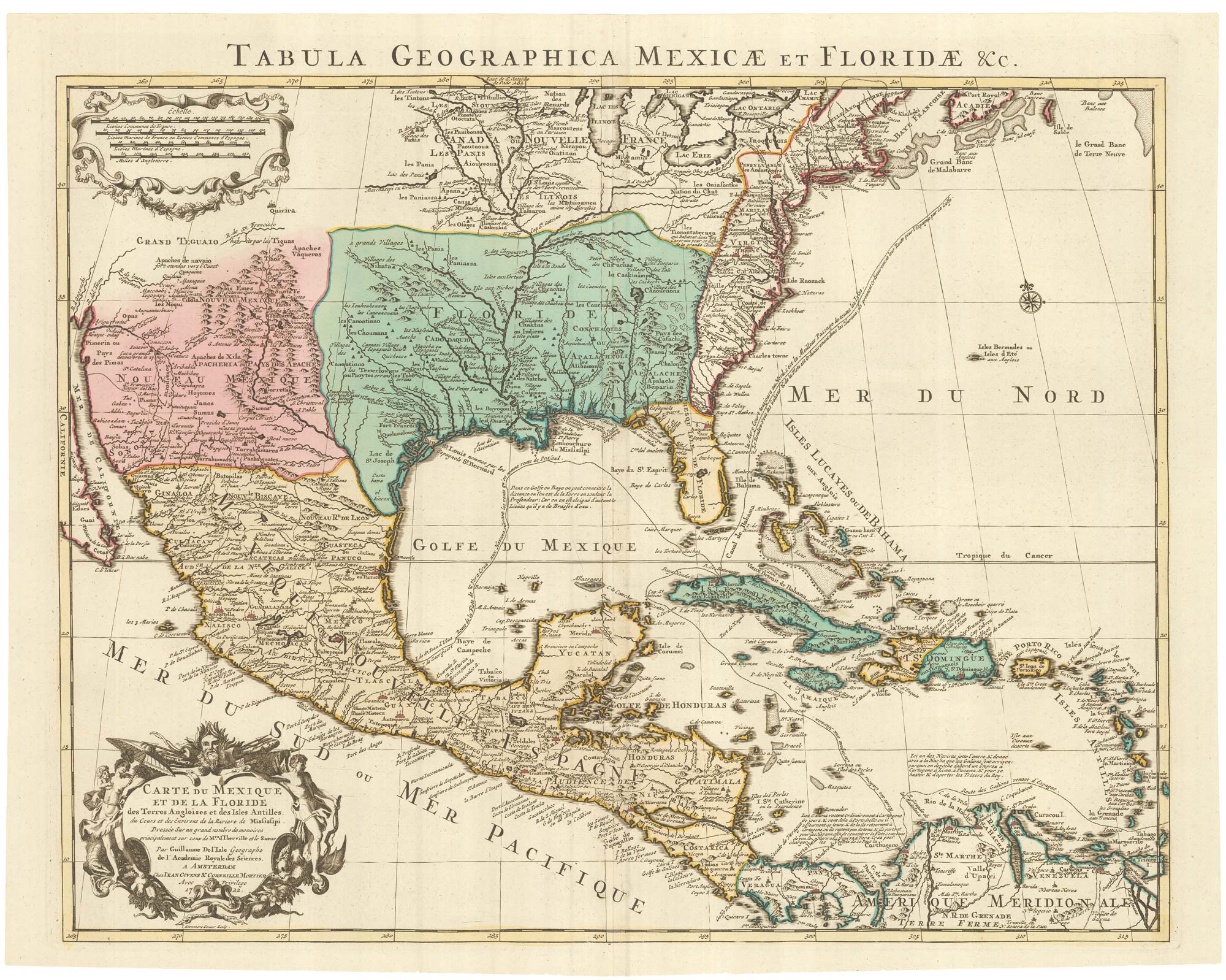
A Dutch edition of the first printed map to accurately plot the Mississippi River
DELISLE, Guillaume. Date: 1722 Stock #: 23463 £1,700.00
