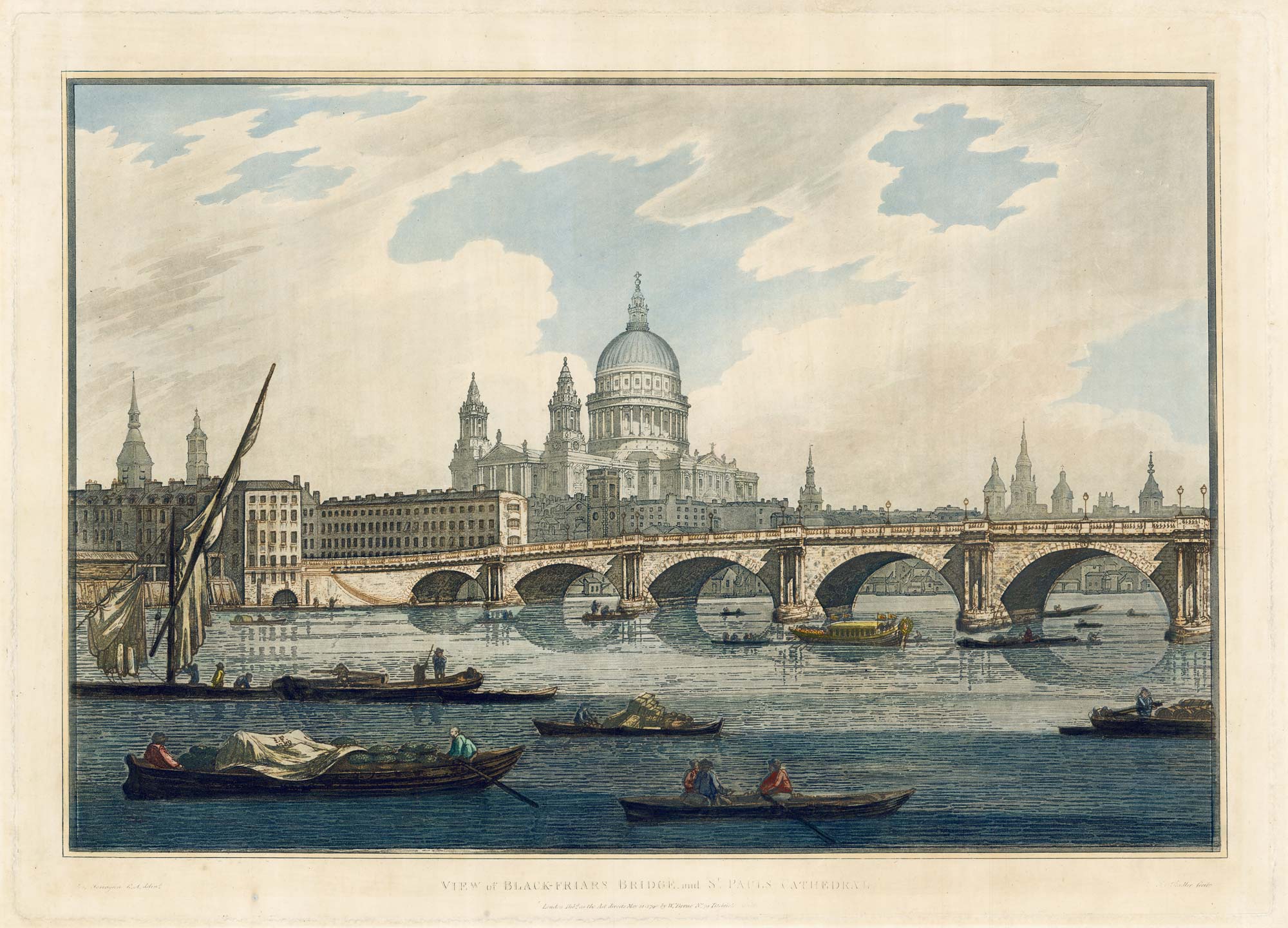
Antique Maps by FARINGTON, Joseph.
Joseph Farington (1747–1821) was an English artist and draughtsman whose work occasionally intersects with late eighteenth- and early nineteenth-century British cartography through the production of topographical views and landscape drawings used to illustrate travel and county publications. He matters less as a mapmaker in his own right than as a dependable visual recorder of place, contributing imagery that shaped how Britain’s scenery and built environment were presented in print.
Best known today for his extensive diary, Farington was closely connected to the London art world and exhibited regularly at the Royal Academy. His topographical draughtsmanship, valued for clarity and accurate observation, lent itself to reproduction by engravers and publishers producing illustrated works where maps, plans, and views were often complementary components.
When his name appears on cartographic material it is typically in the context of an artist’s contribution rather than authorship of surveys, engraving, or publishing, and his output should be understood within the broader culture of Georgian topography and print.
→ Explore more works by Joseph Farington
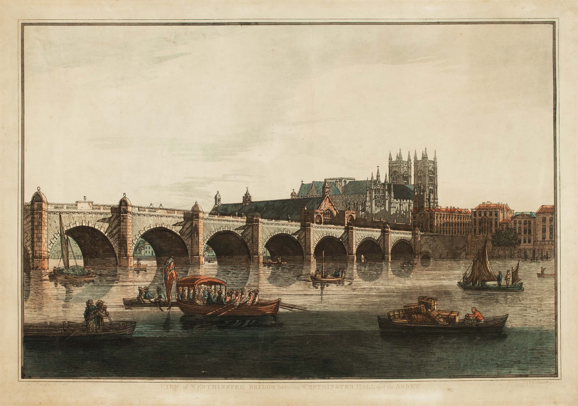
18th century view of Westminster from the Thames
FARINGTON, Joseph. Date: 1790 Stock #: 11595 £1,100.00