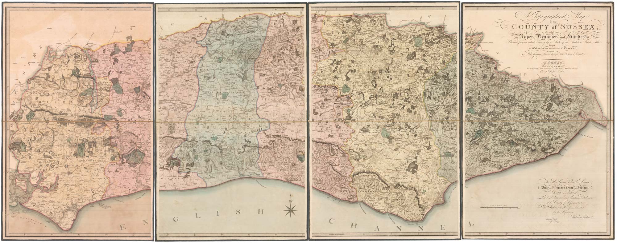
Antique Maps by GARDNER, William, YEAKELL, Thomas & GREAM, Thomas.
William Gardner, Thomas Yeakell and Thomas Gream were English mapmakers and surveyors active in the later eighteenth century, best remembered for their association with the first large-scale, systematically surveyed mapping of Sussex. Their work matters for the precision and density of topographical detail it brought to an English county at a moment when reliable estate, road and drainage information was increasingly sought for improvement, administration and travel.
The project is chiefly known through Yeakell and Gream’s survey of Sussex, published as a county map on multiple sheets and widely regarded as a landmark in British county cartography for its measured approach and careful depiction of settlements, communications and land cover. Yeakell and Gream were responsible for the fieldwork and compilation, producing a map that long served as a reference point for later Sussex mapping.
William Gardner’s role is encountered in the publication and dissemination of this work, reflecting the collaborative nature of eighteenth-century cartography in which surveying, drafting, engraving and publishing were often divided among specialists. Imprints combining these names typically indicate this chain from survey to printed map.
→ Explore more works by William Gardner, Thomas Yeakell & Thomas Amp; Gream