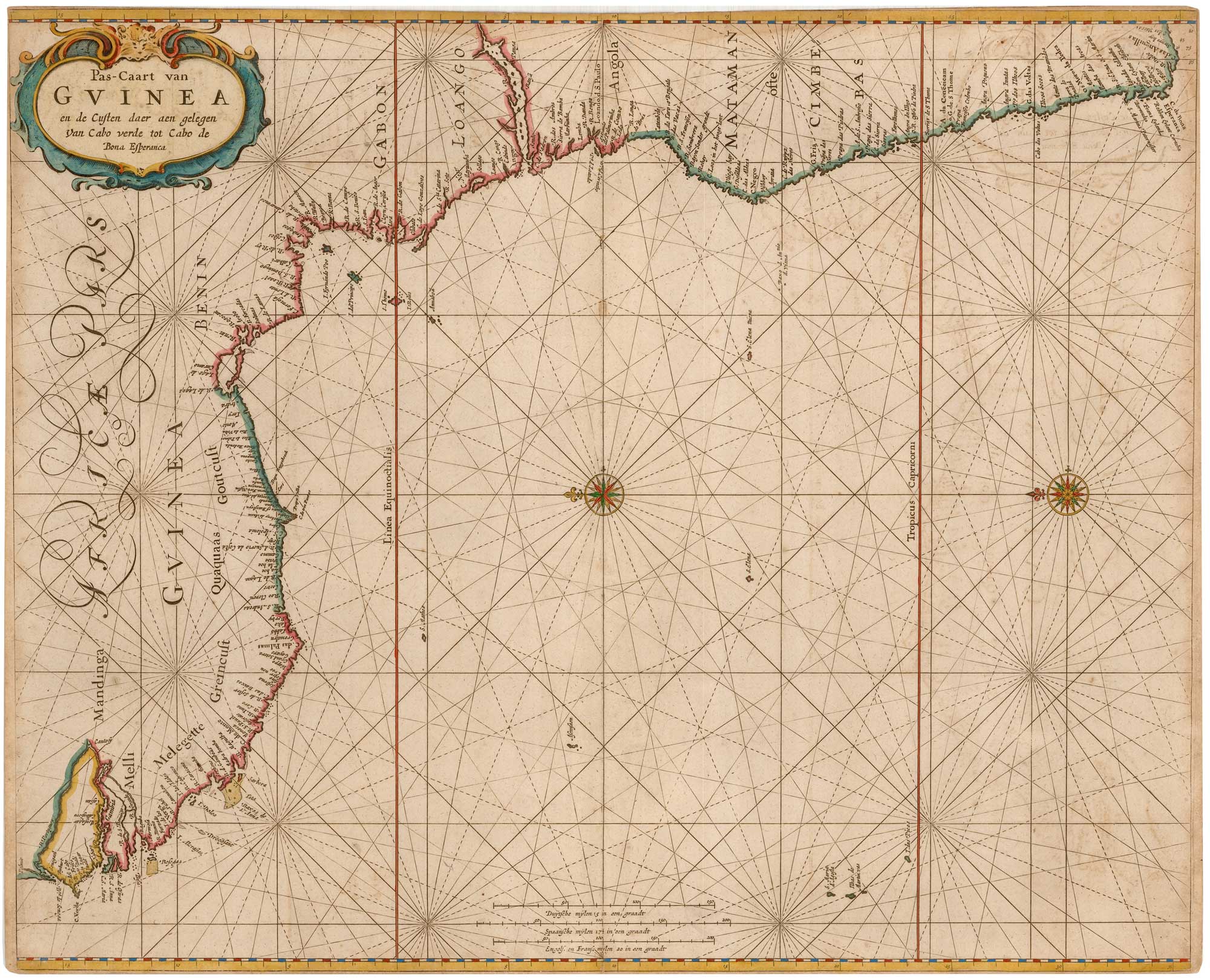
Antique Maps by GOOS, Pieter.
Pieter Goos (1616–1675) was a Dutch map publisher, engraver and chartmaker active in Amsterdam during the Dutch Golden Age, and is best known for high-quality sea charts and maritime atlases produced for Europe’s expanding overseas trade. He mattered as one of the principal commercial hydrographers of the mid seventeenth century, supplying navigators with practical charting presented in an elegant, highly finished style.
Goos worked within a thriving family and workshop tradition in Amsterdam, building on earlier Dutch chartmaking and issuing maps and nautical plates distinguished by clear coastal outlines, carefully engraved lettering and decorative cartouches. His charts circulated widely, often appearing in composite atlases assembled for merchants and ship captains, as well as in more formal maritime collections.
Among his most important publications is the Zee-Atlas, a sea atlas that helped consolidate Amsterdam’s dominance in printed hydrography. Goos’s plates were sufficiently valued to be reissued and adapted after his death, ensuring a long afterlife for his cartographic work.
→ Explore more works by Pieter Goos