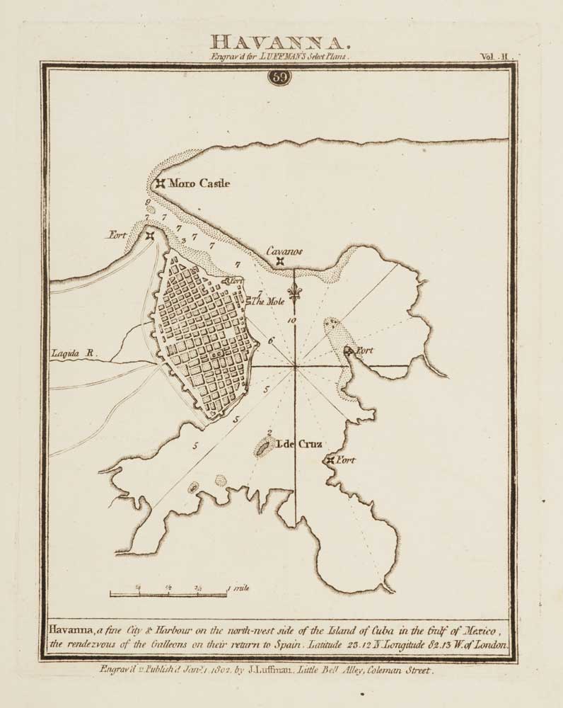
Antique Maps by LUFFMAN, John.
John Luffman (1756–1846) was an English geographer, engraver and publisher whose work belongs to the late eighteenth- and early nineteenth-century expansion of practical geographical publishing in Britain. He is chiefly remembered for producing accessible maps and geographical compilations for a broad reading public at a time when demand for up-to-date topographical and maritime information was growing.
Luffman issued maps both as separate prints and in connection with his books, and his output often drew upon existing surveys and published authorities, reworked for clarity and utility. He is associated with a range of geographical and historical titles, reflecting the period’s appetite for descriptive geography, travel and antiquarian studies as well as cartography proper.
Although not among the major atlas-makers of his day, Luffman’s publications are representative of the energetic London trade in maps and educational geography, in which compilation, engraving and publishing frequently overlapped in a single career.
→ Explore more works by John Luffman

Early 19th century plan showing the defences of Genoa
LUFFMAN, John. Date: 1801 Stock #: 13158 £120.00