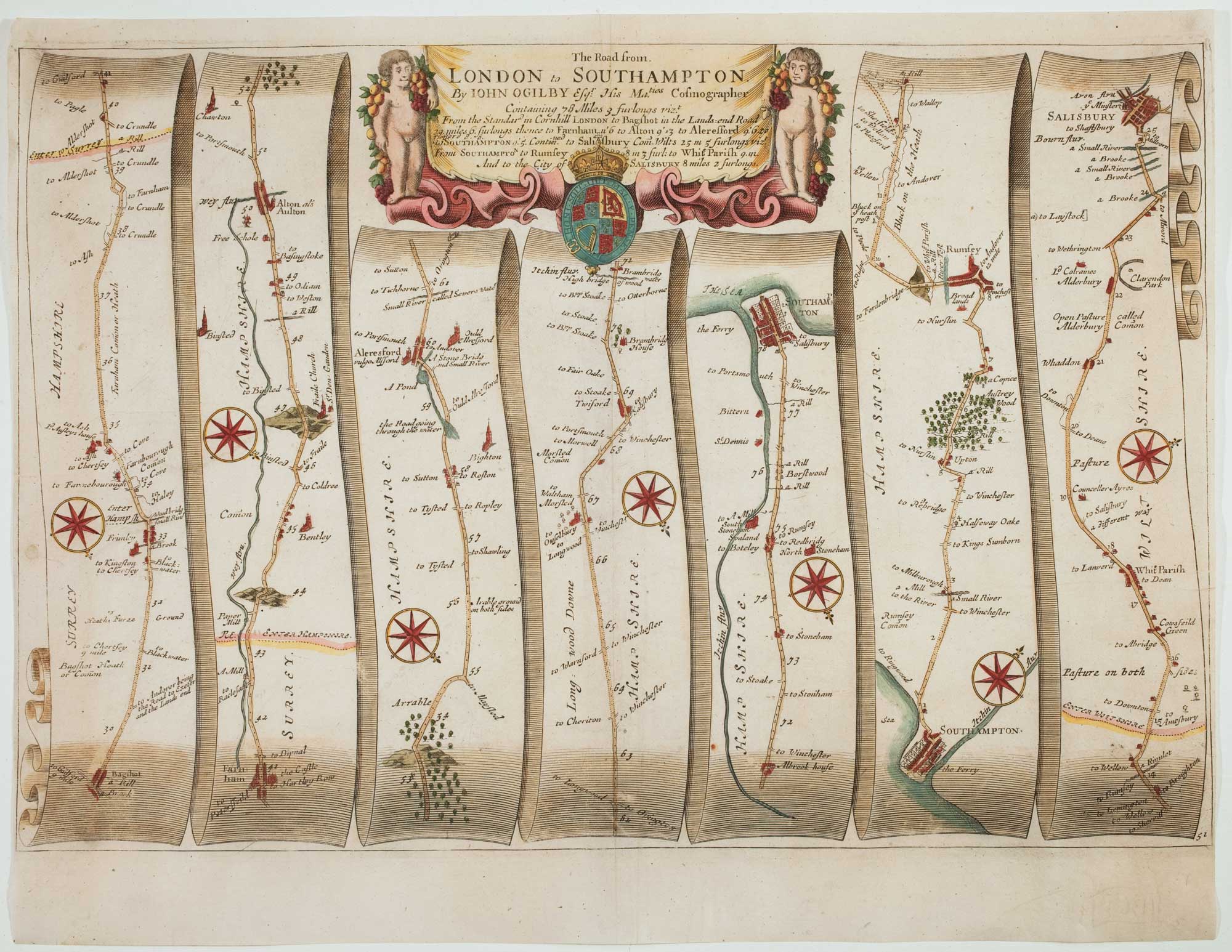
Antique Maps by OGILBY, John.
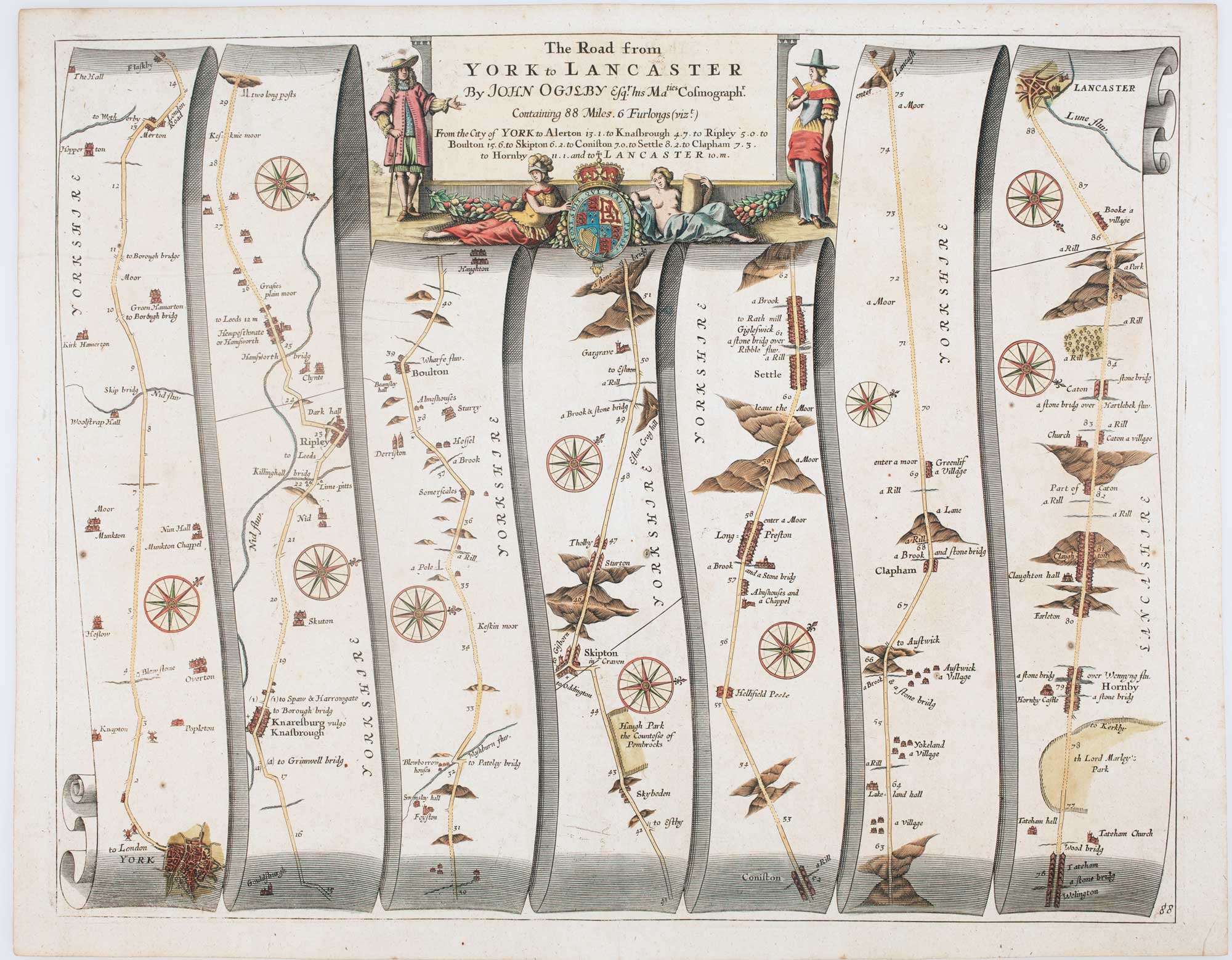
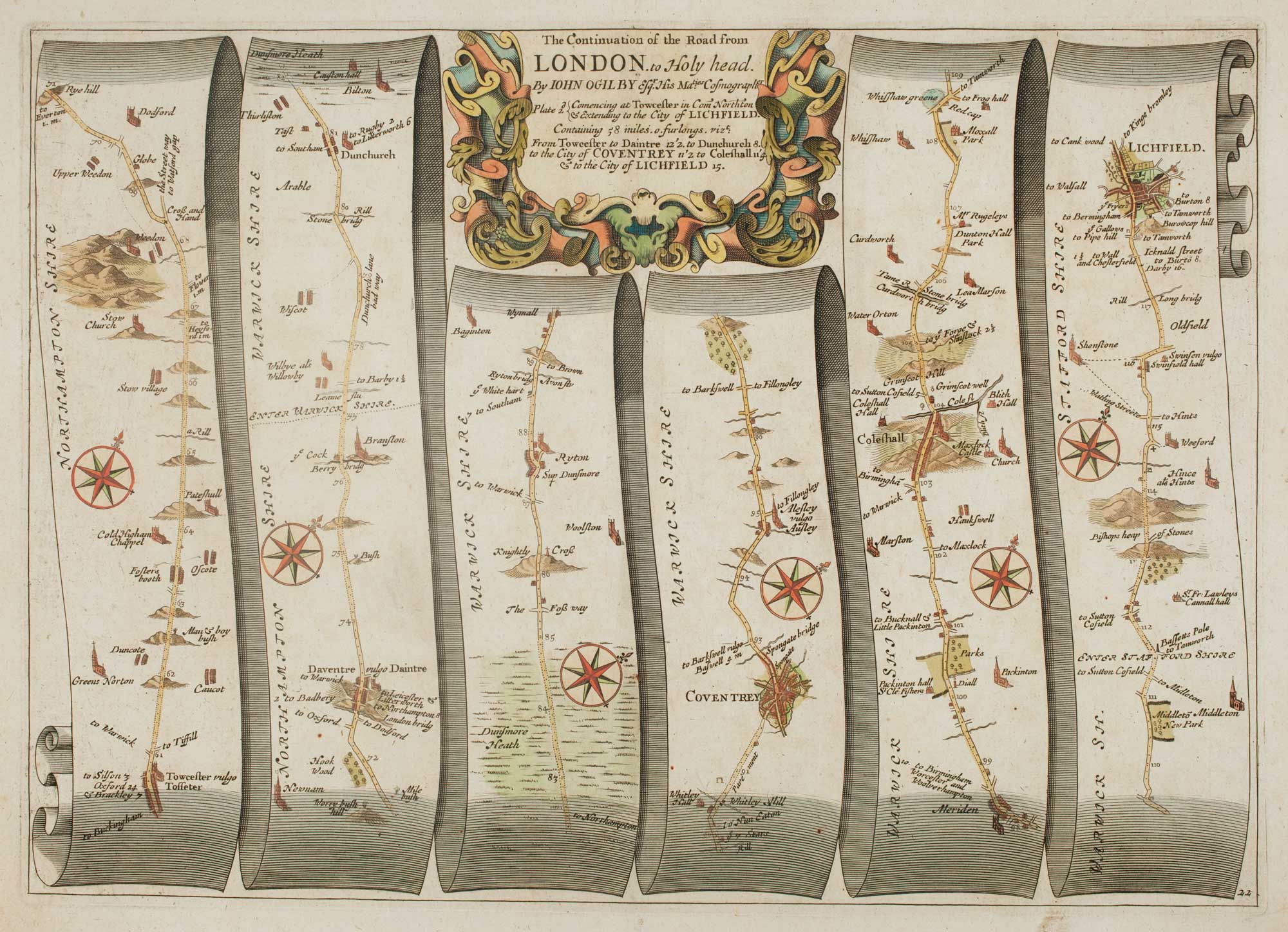
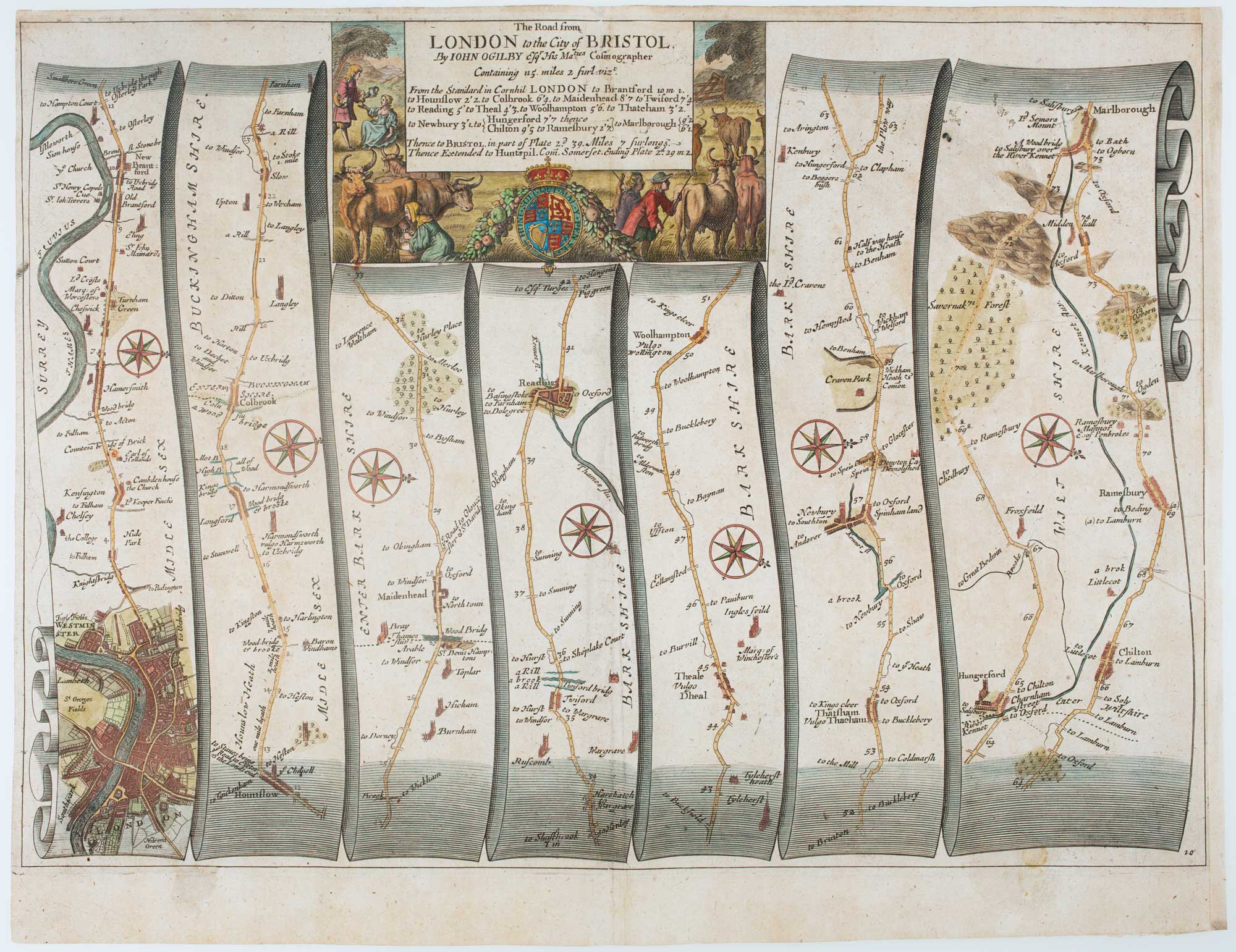
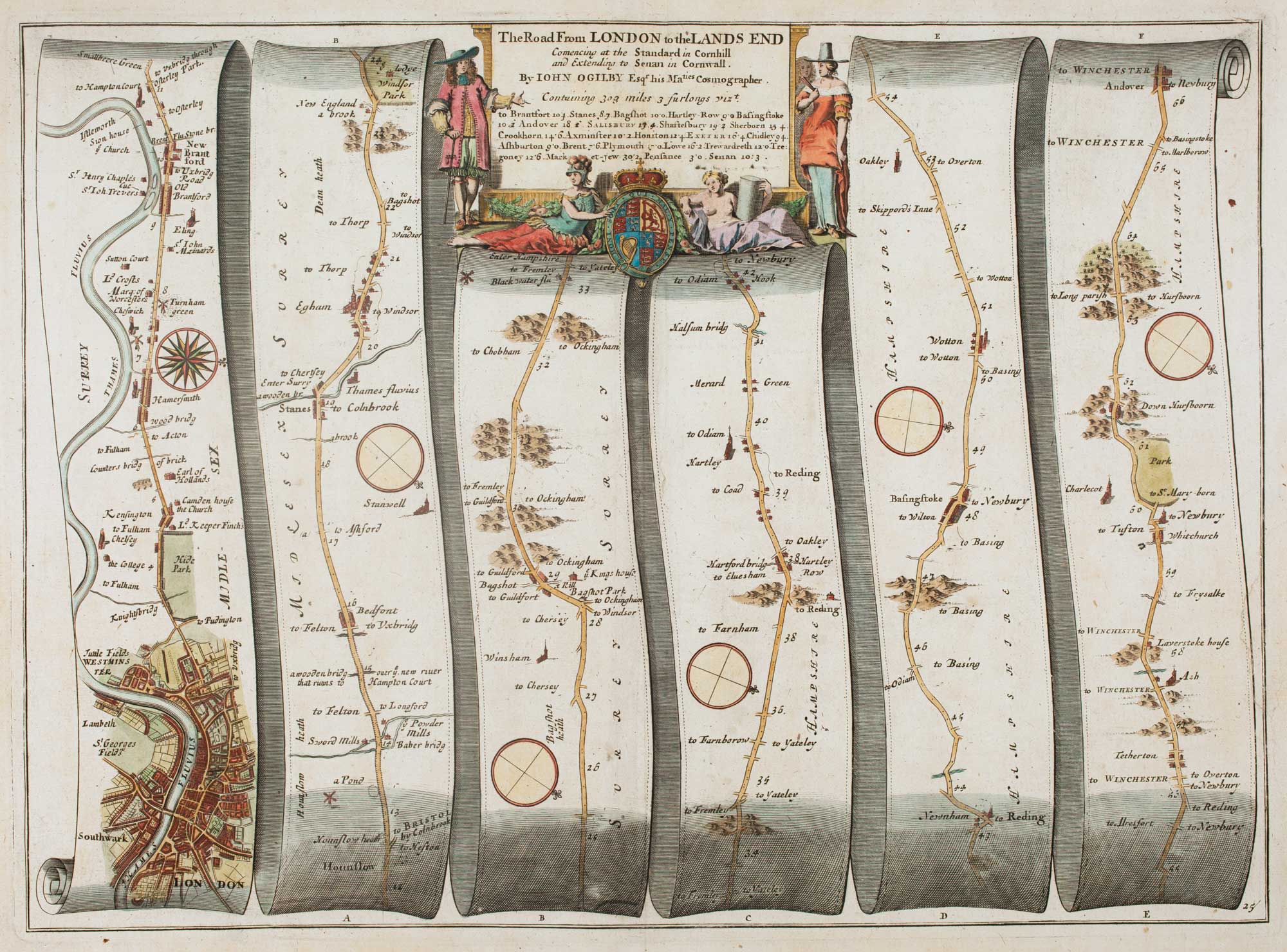
John Ogilby (1600–1676) was a Scottish-born, London-based publisher, translator and cartographic entrepreneur whose work helped set a new standard for printed mapping in Restoration England. He matters above all for pioneering large-format, systematically surveyed road mapping, produced with a level of consistency and visual clarity that influenced British cartography for generations.
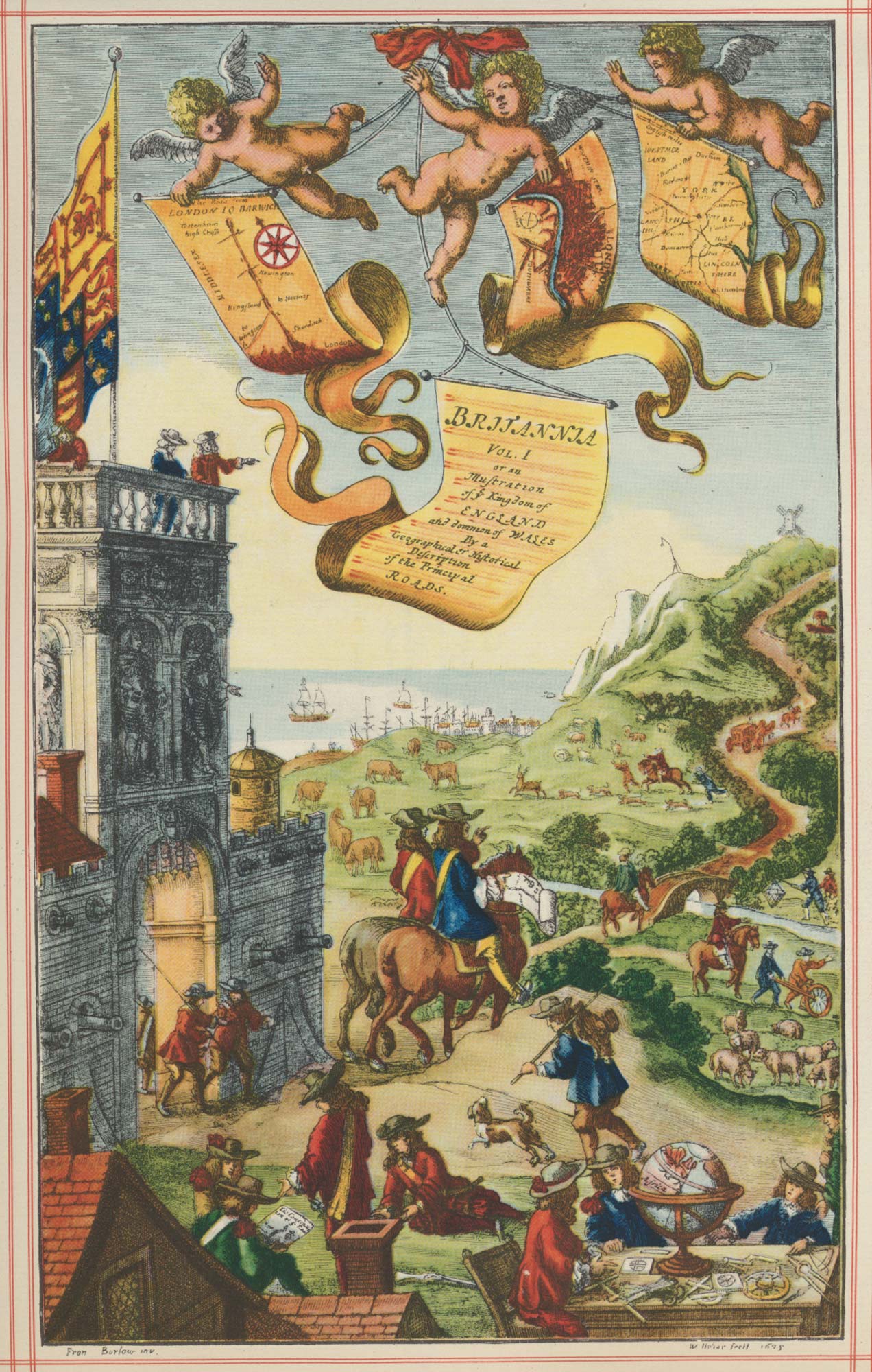
Ogilby is best known for Britannia (1675), the first comprehensive road atlas of England and Wales. Its strip maps present routes in measured distances with accompanying descriptive text, offering travellers and administrators a practical, uniform guide at a time when reliable road information was scarce. The atlas’s scale, engraving quality and organisational method made it a landmark in the history of transport mapping.
He also issued important geographic publications beyond Britain, including the lavish illustrated Africa (1670), part of his broader programme of producing authoritative, high-status atlases and descriptions. Although Ogilby relied on surveyors, compilers and engravers for much of the technical work, his achievement lay in editorial direction, commissioning, and the successful publication of ambitious cartographic projects.
→ Explore more works by John Ogilby
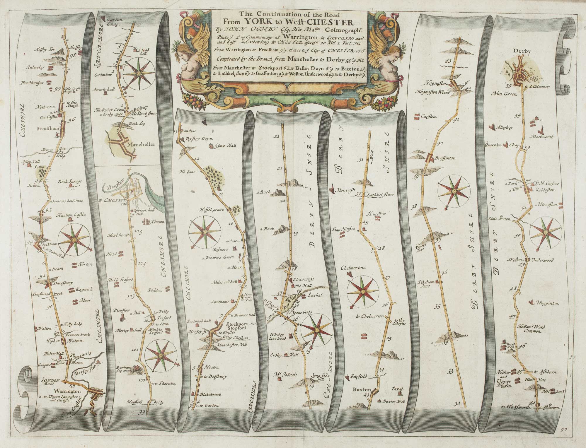
An early map of the roads from Warrington to Chester and Manchester to Derby
OGILBY, John. Date: 1675 Stock #: 15311 £290.00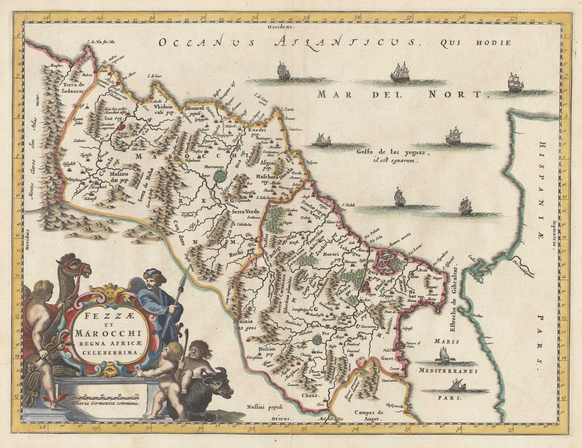
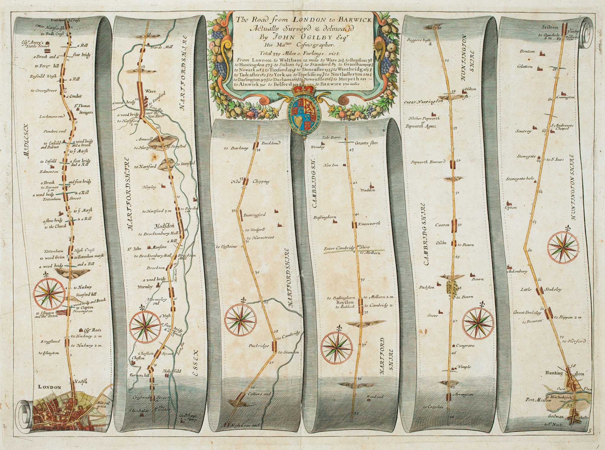
Early road map of the roads from London to Stilton in Cambridgeshire
OGILBY, John. Date: 1675 Stock #: 16325 £280.00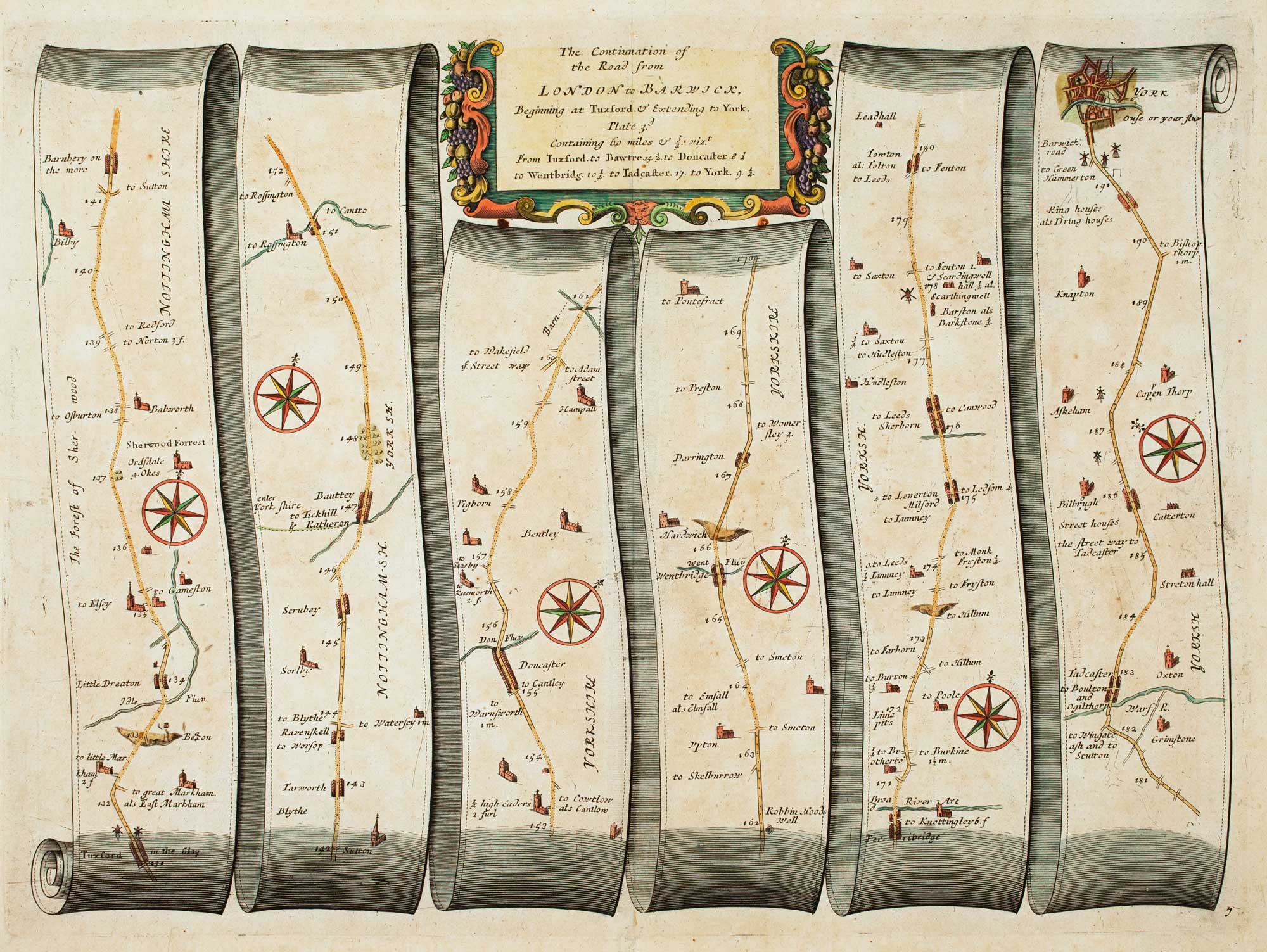
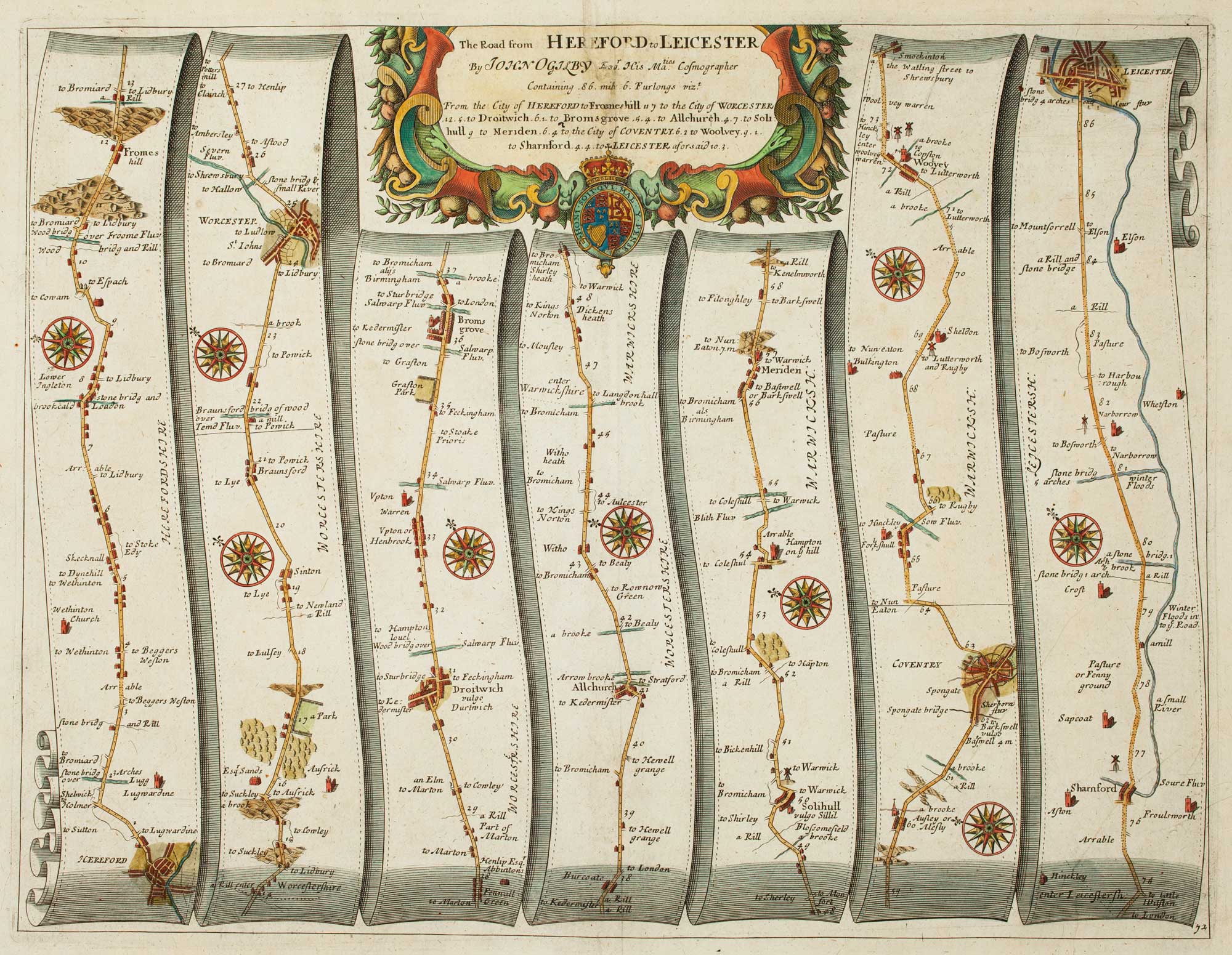
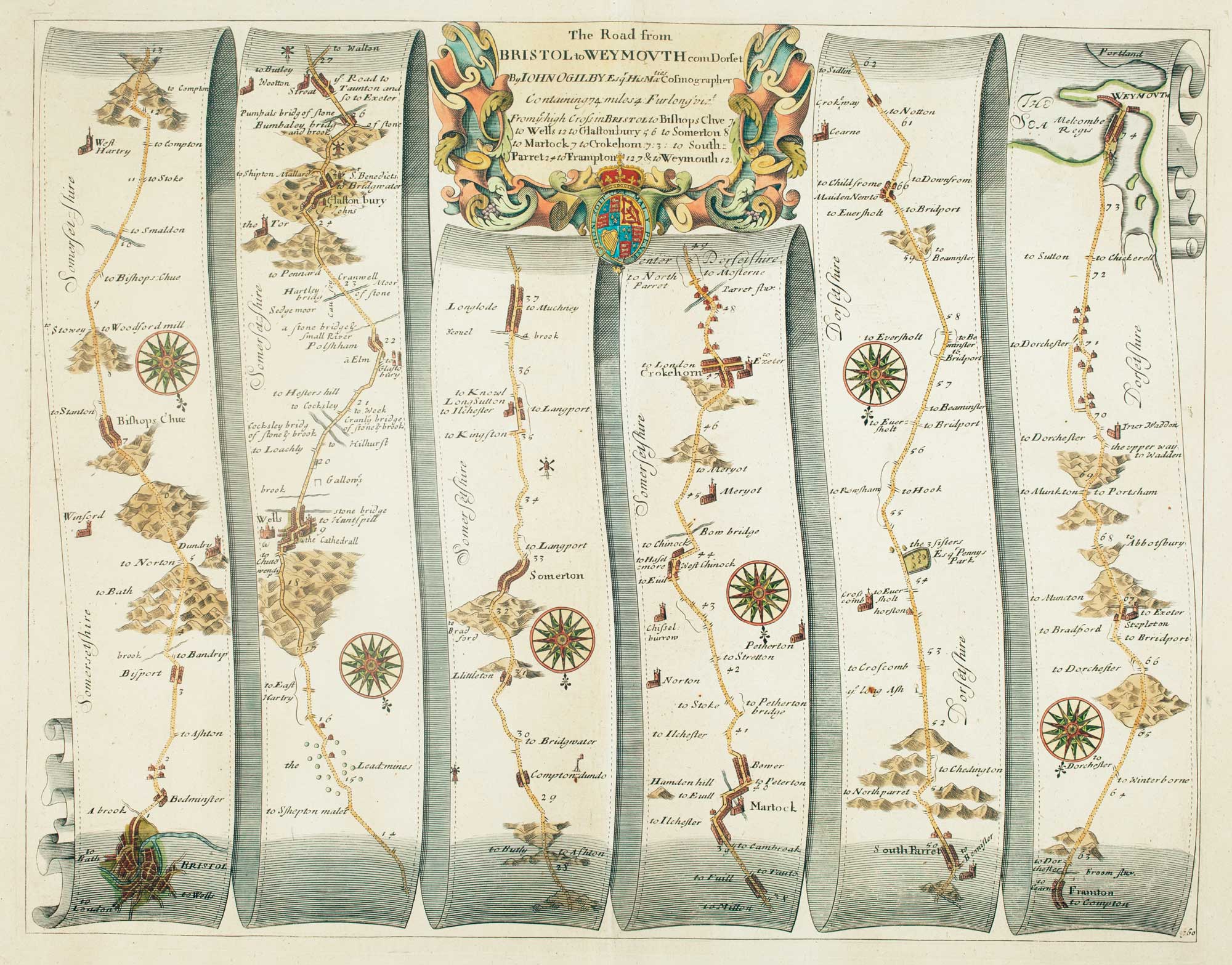
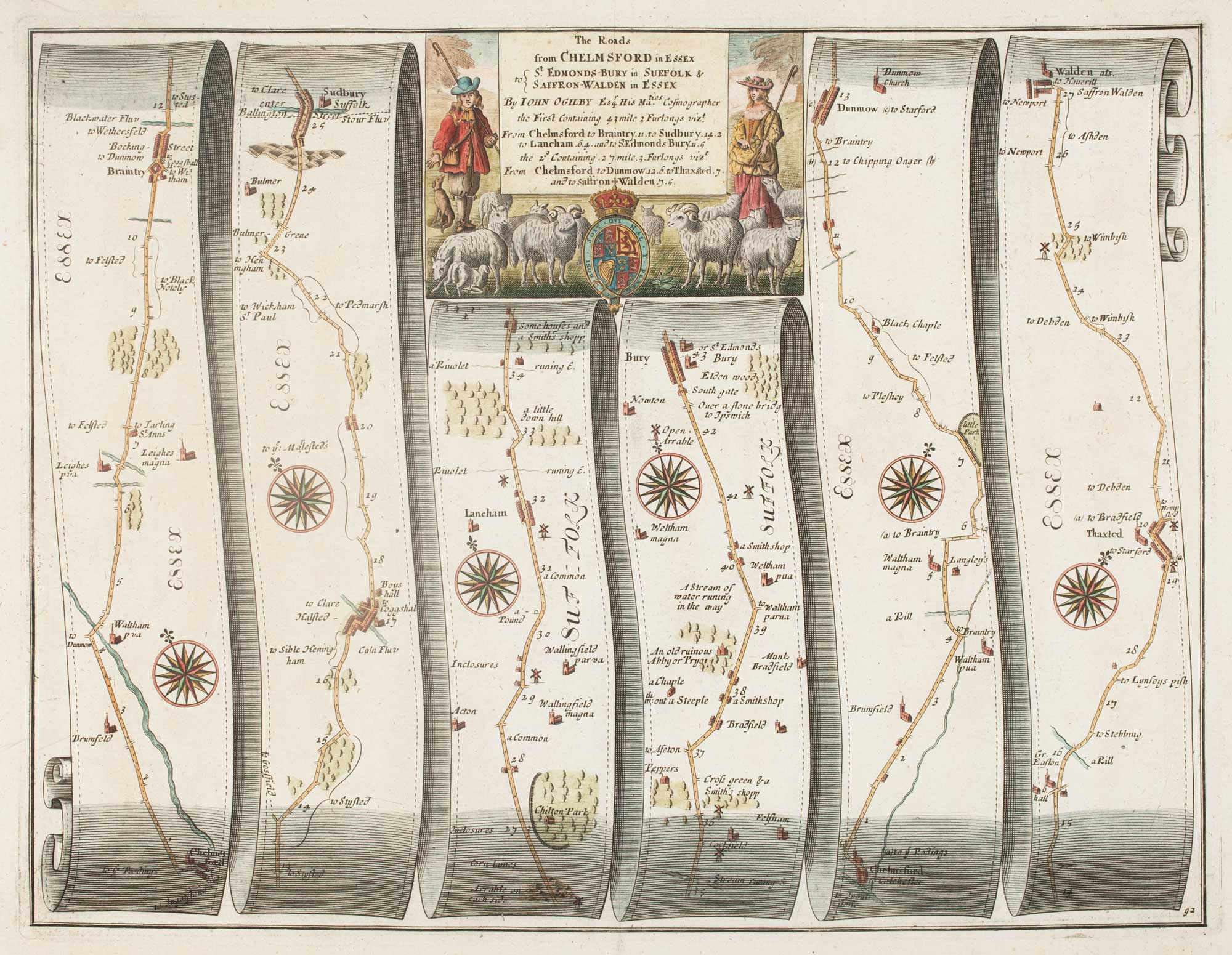
An early road map of Chelmsford to Bury St Edmunds and Saffron Walden
OGILBY, John. Date: 1675 Stock #: 15324 £320.00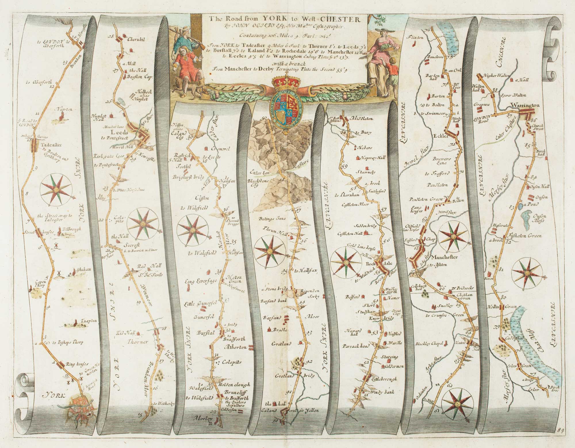
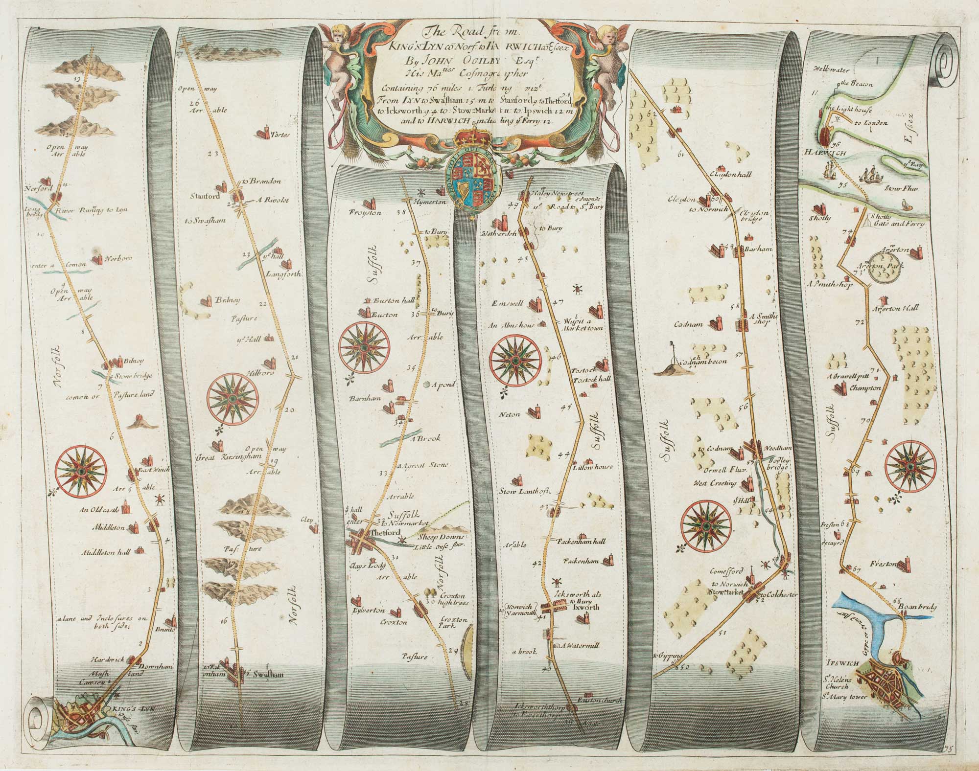

An early map of the roads from Oxford to Coventry and Derby
OGILBY, John. Date: 1675 Stock #: 15299 £300.00
An early map of the roads from Nottingham to Grimsby
OGILBY, John. Date: 1675 Stock #: 15307 £280.00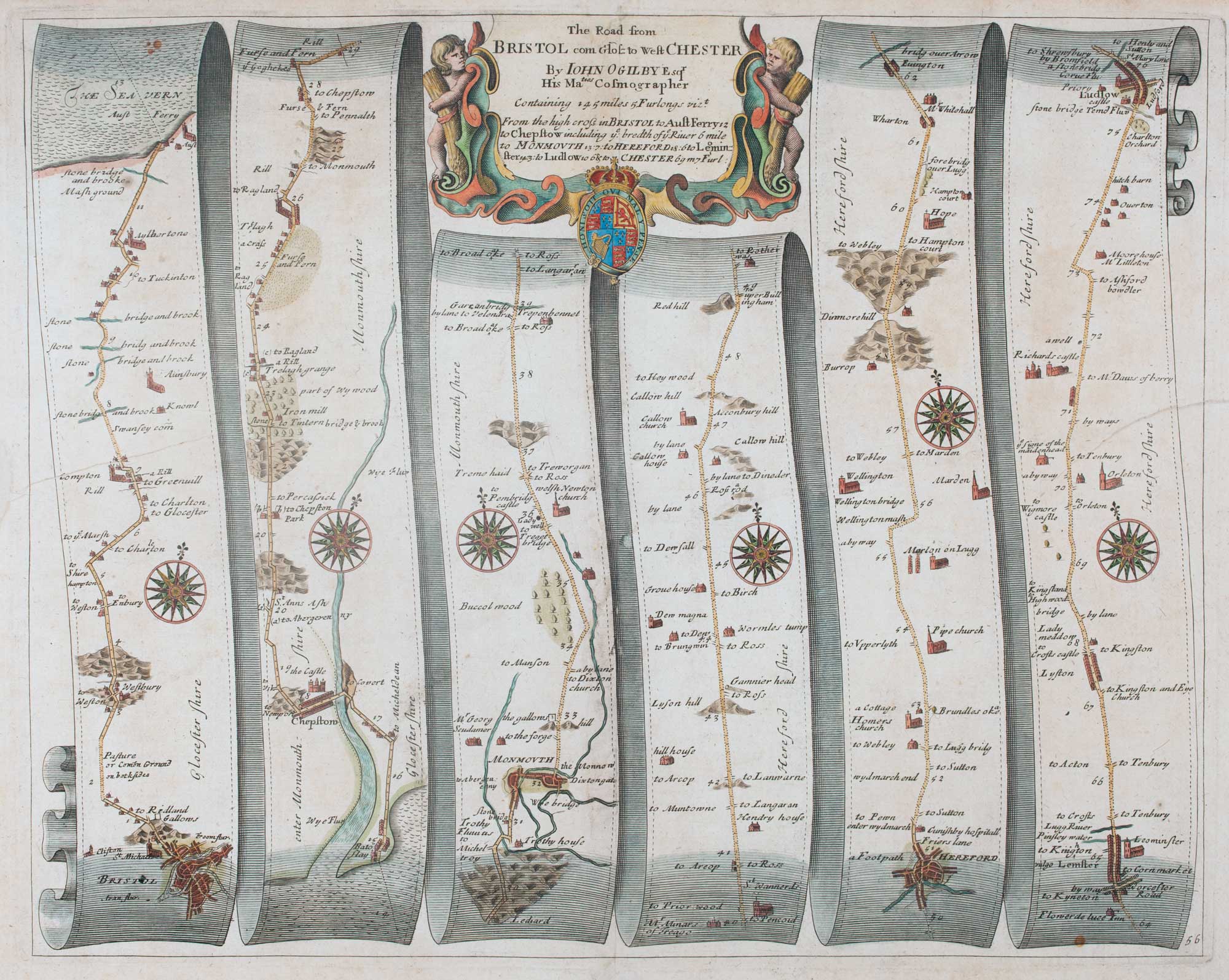
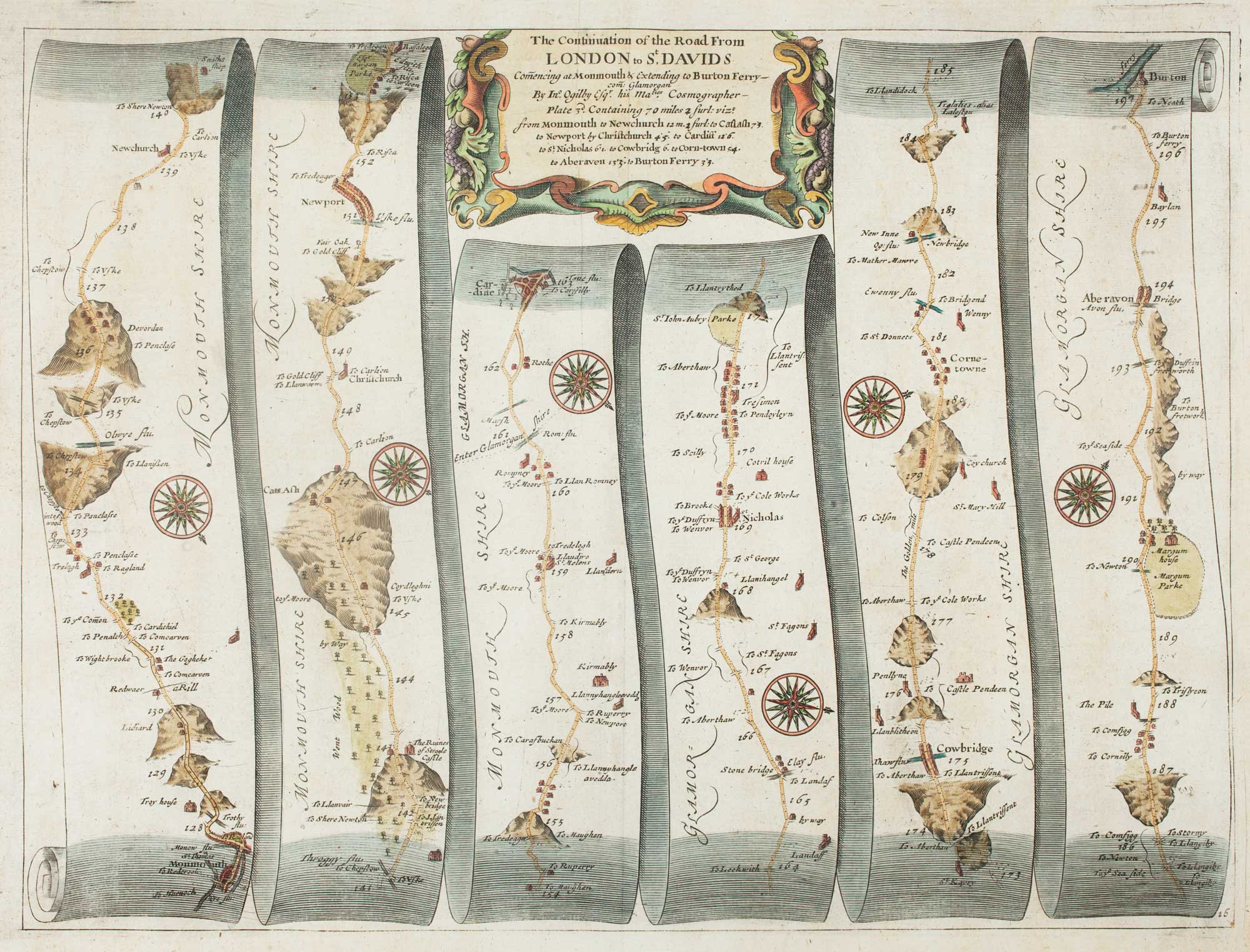
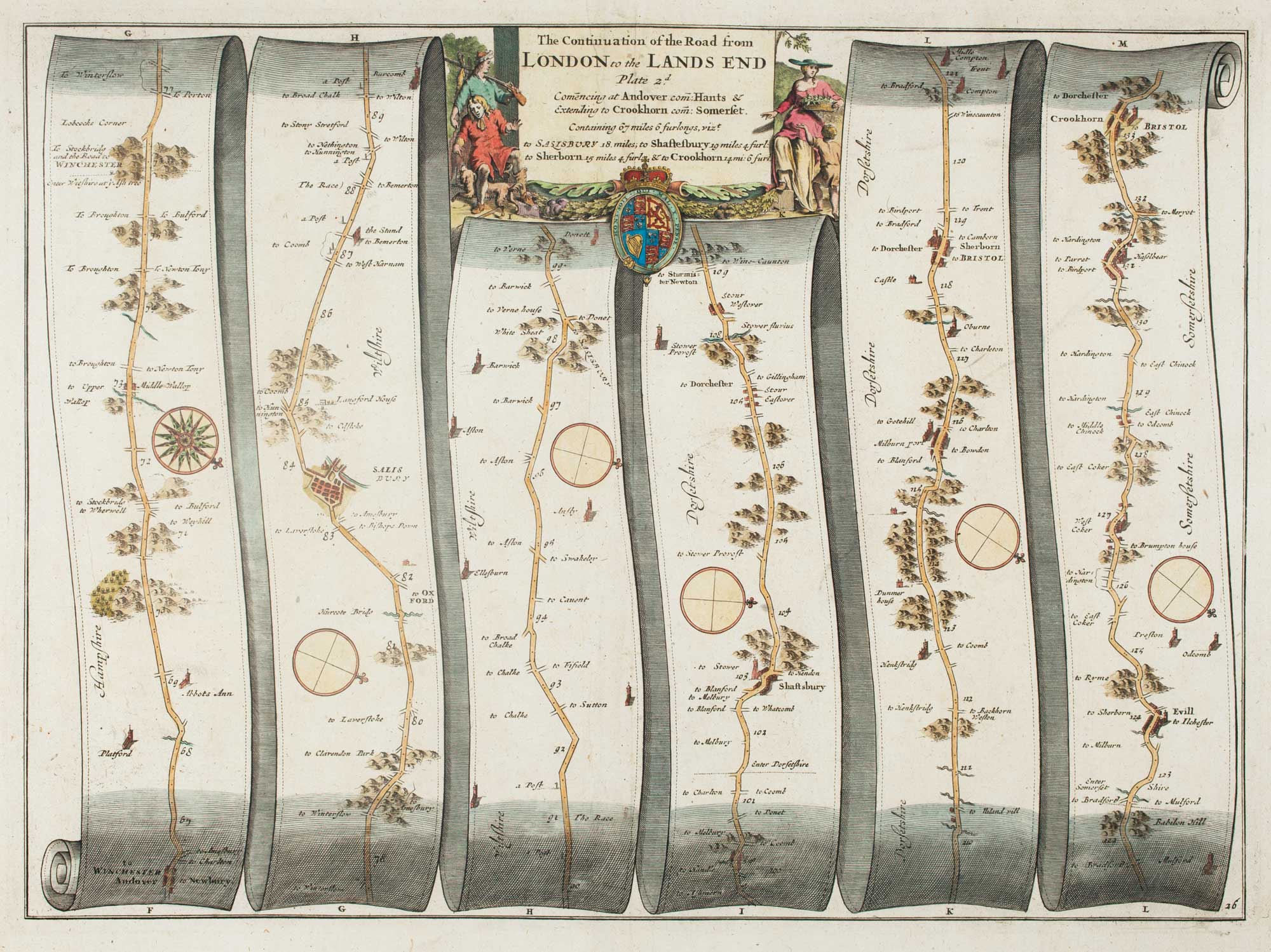
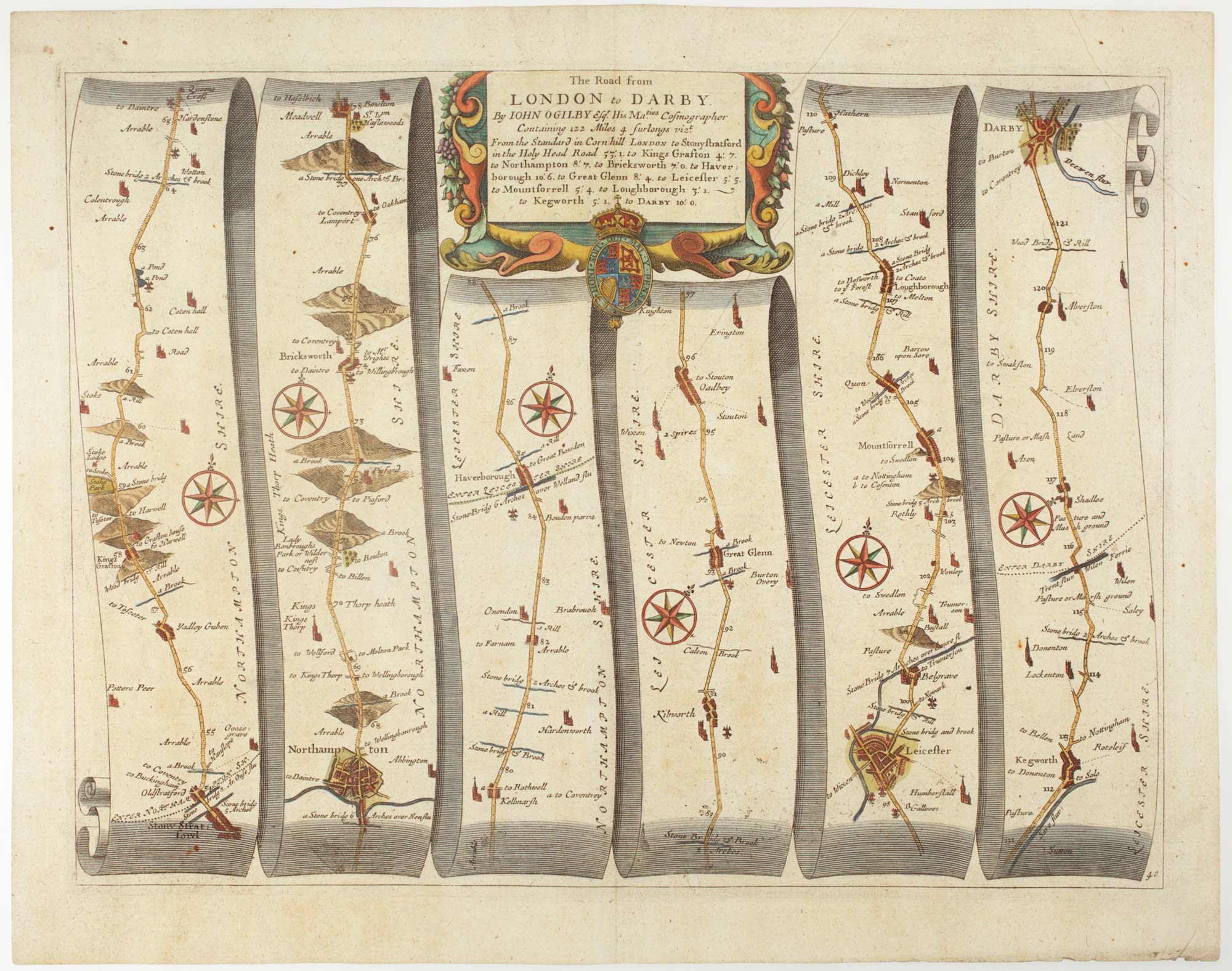
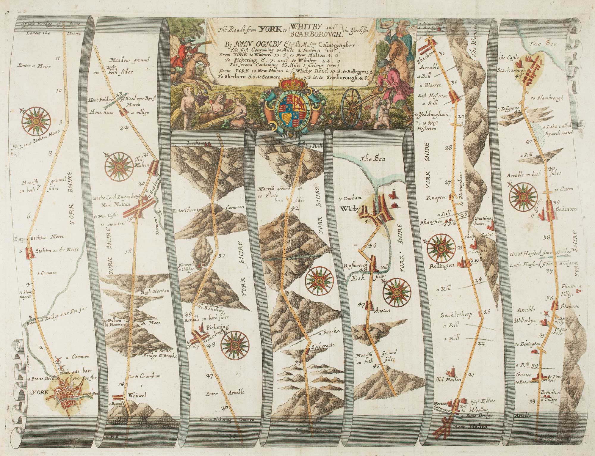
An early map of the roads from York to Whitby & Scarborough
OGILBY, John. Date: 1675 Stock #: 15321 £380.00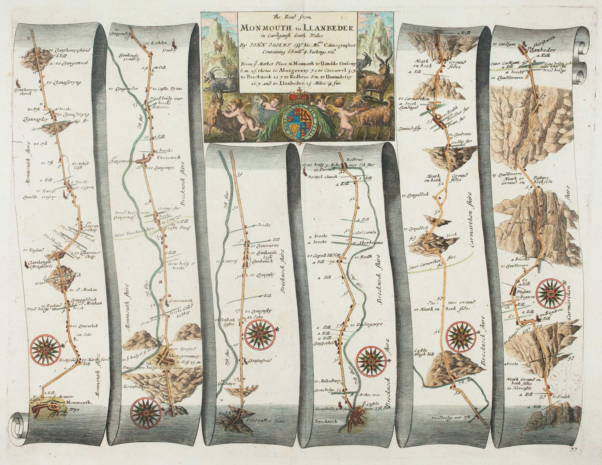
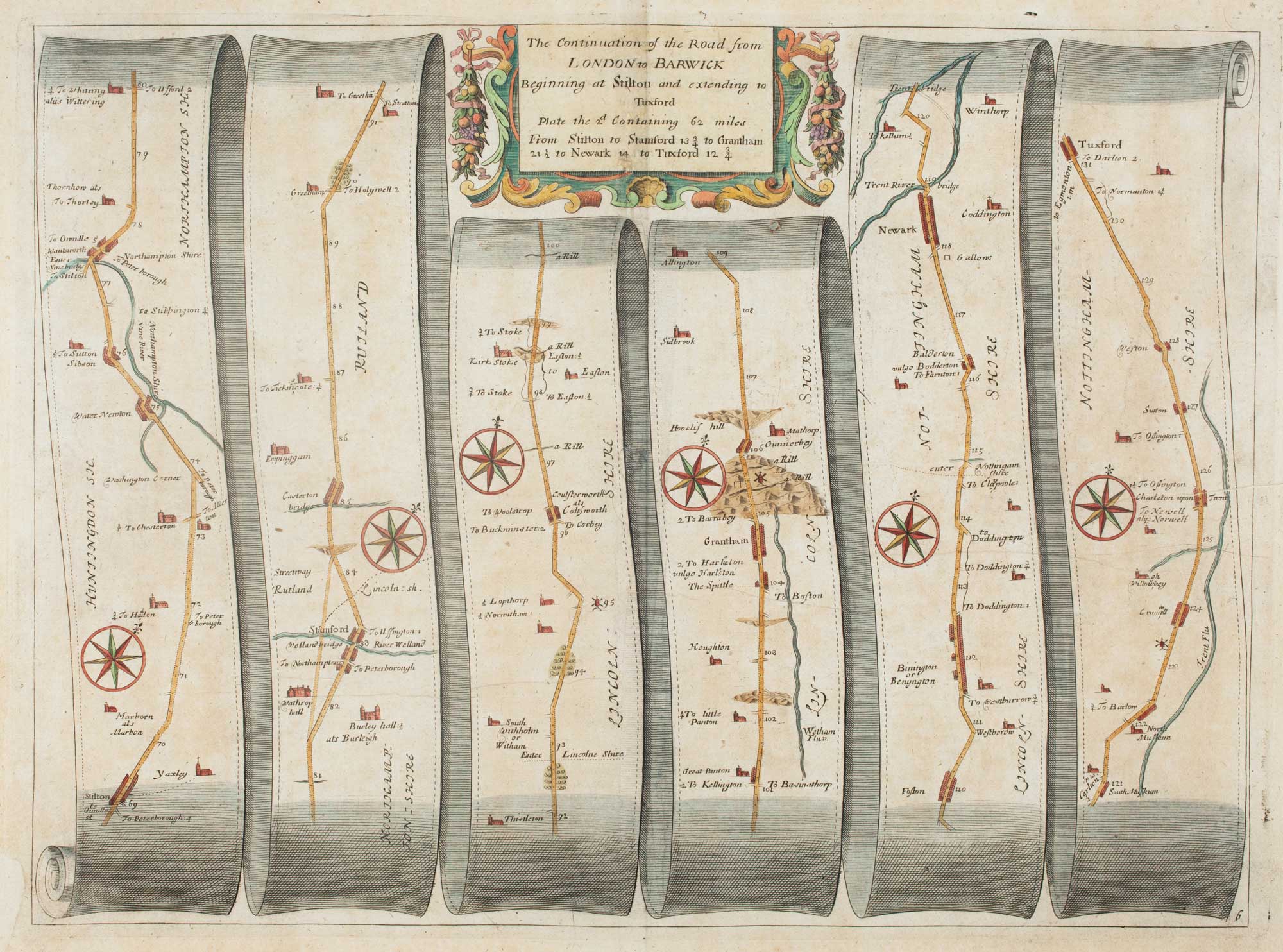
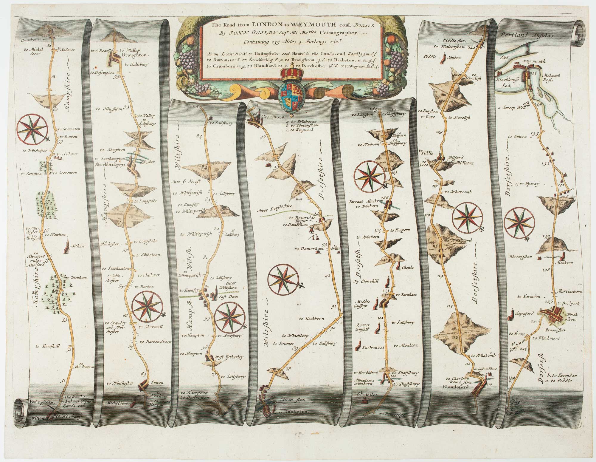
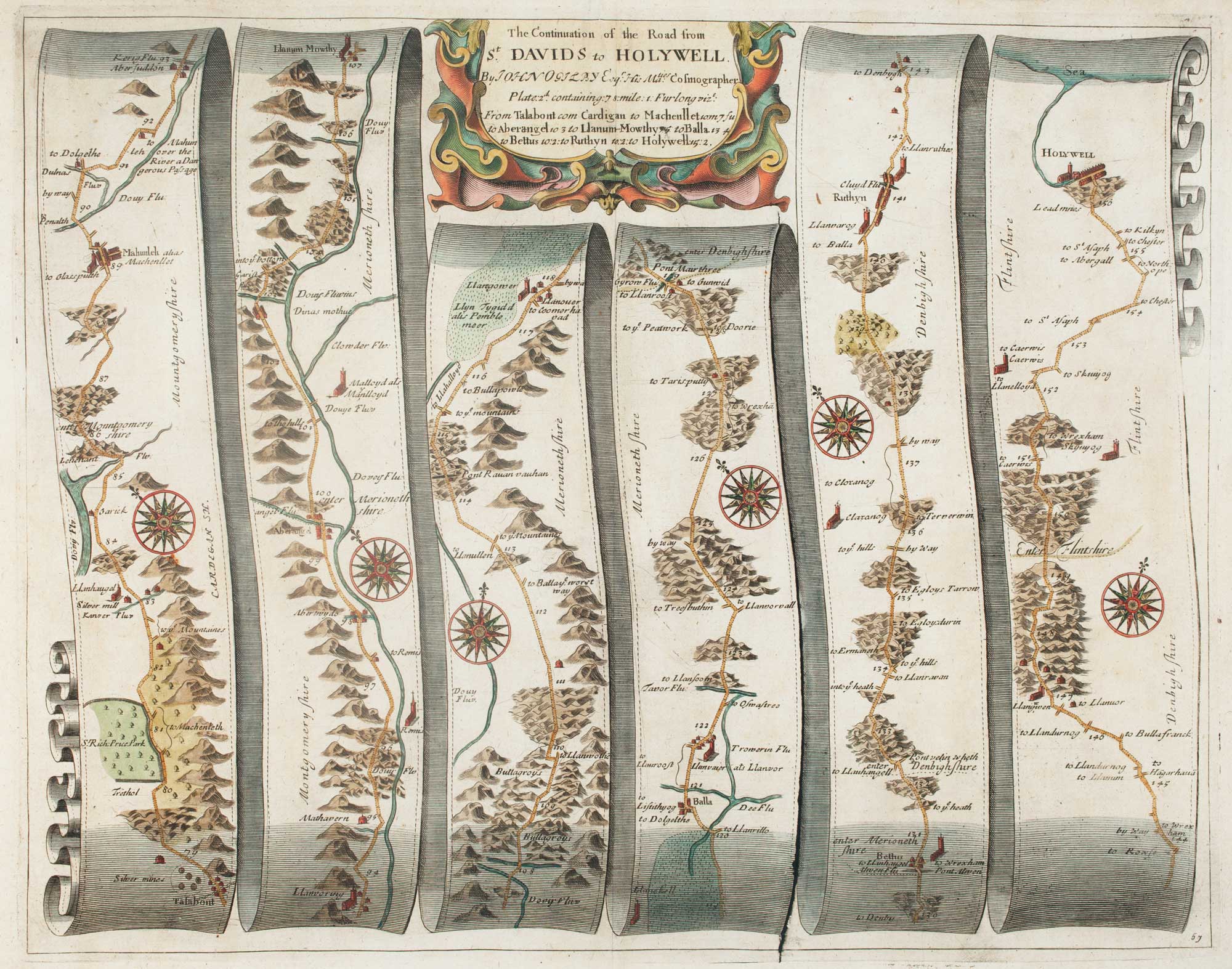
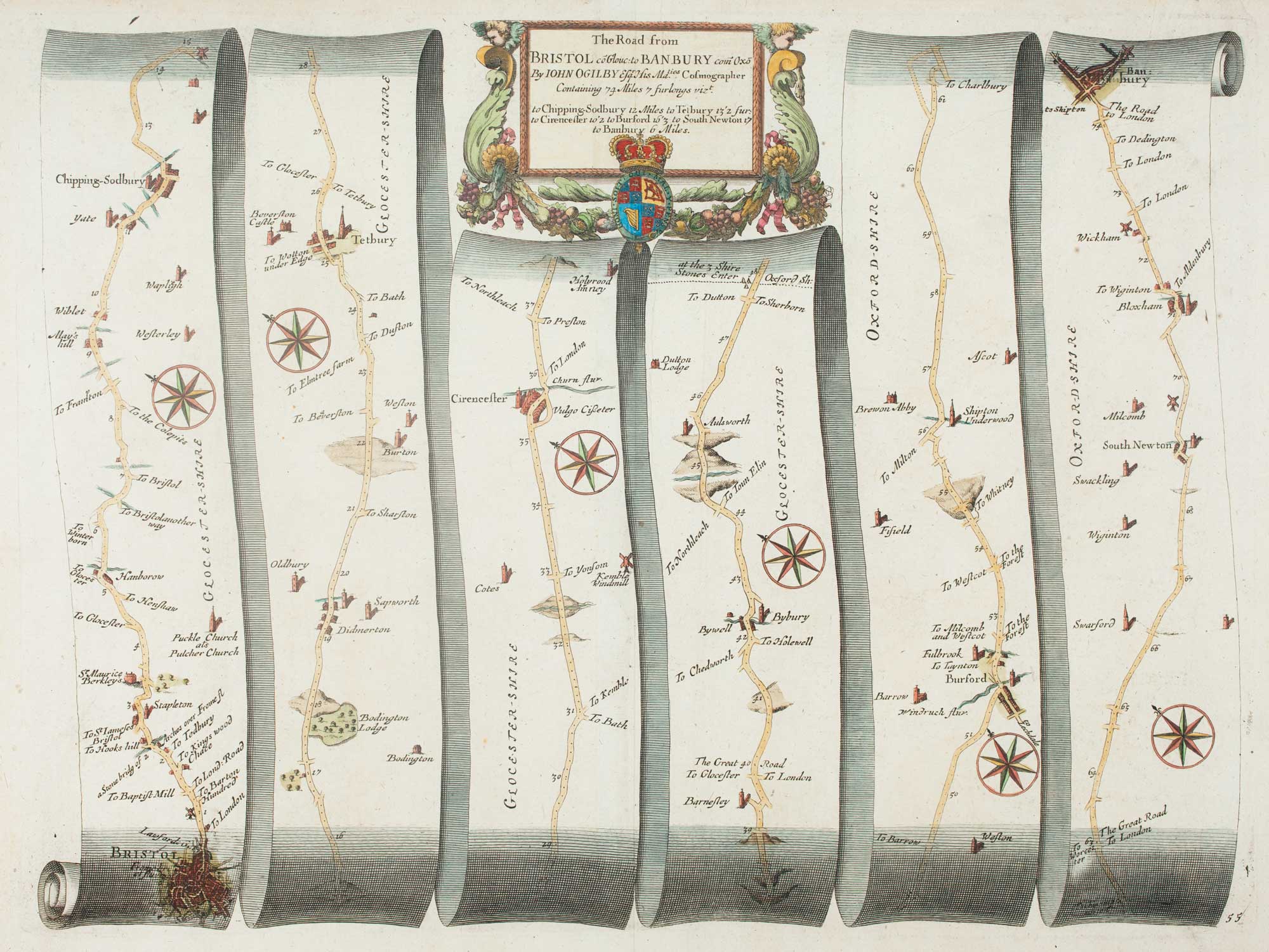
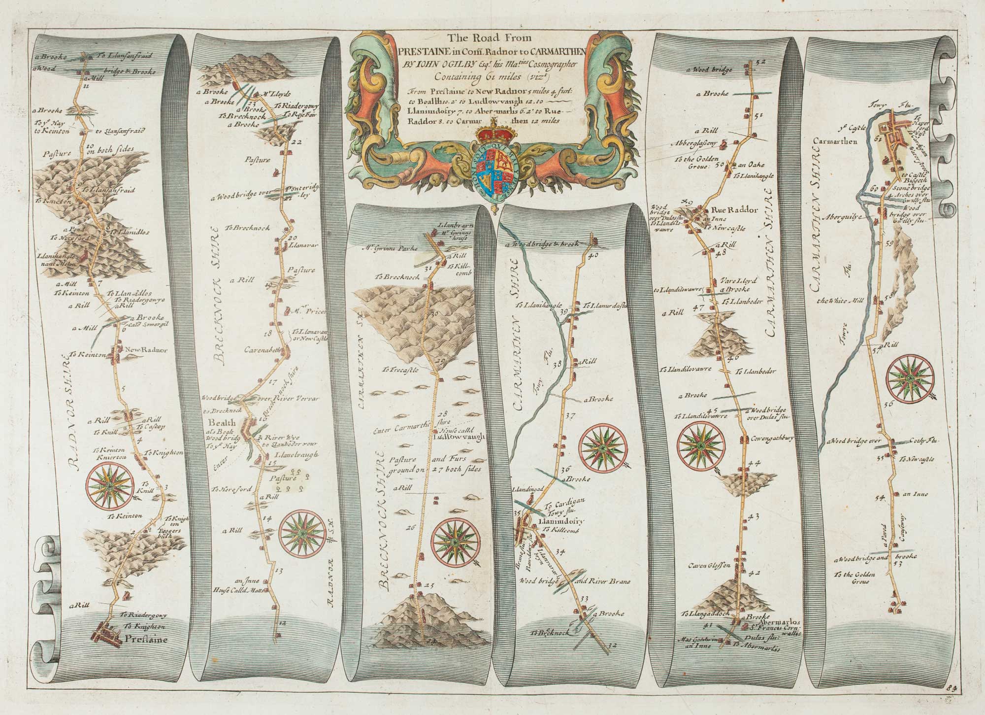
Early map of the roads from Presteigne to Carmarthen
OGILBY, John. Date: 1675 Stock #: 15372 £280.00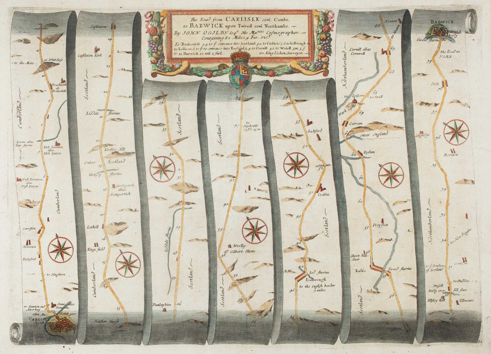
Early map of the roads from Carlisle and Berwick upon Tweed
OGILBY, John. Date: 1675 Stock #: 15375 £220.00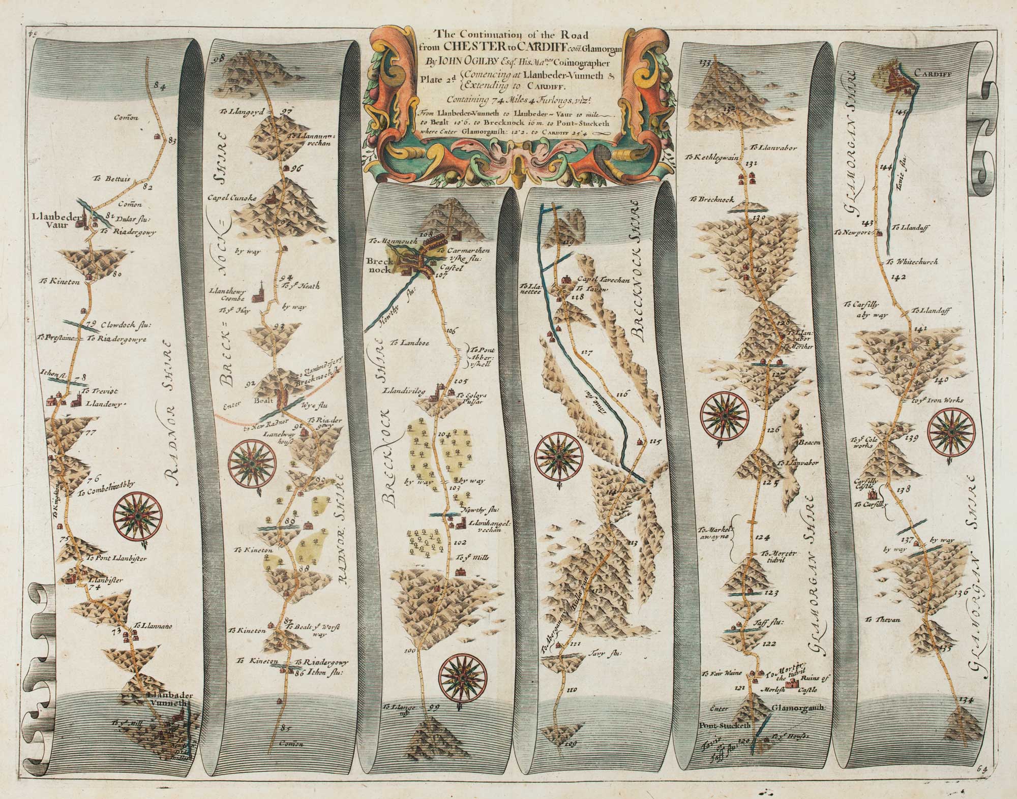
Early map of the roads from Llanbadarn Fynydd to Cardiff
OGILBY, John. Date: 1675 Stock #: 15381 £180.00