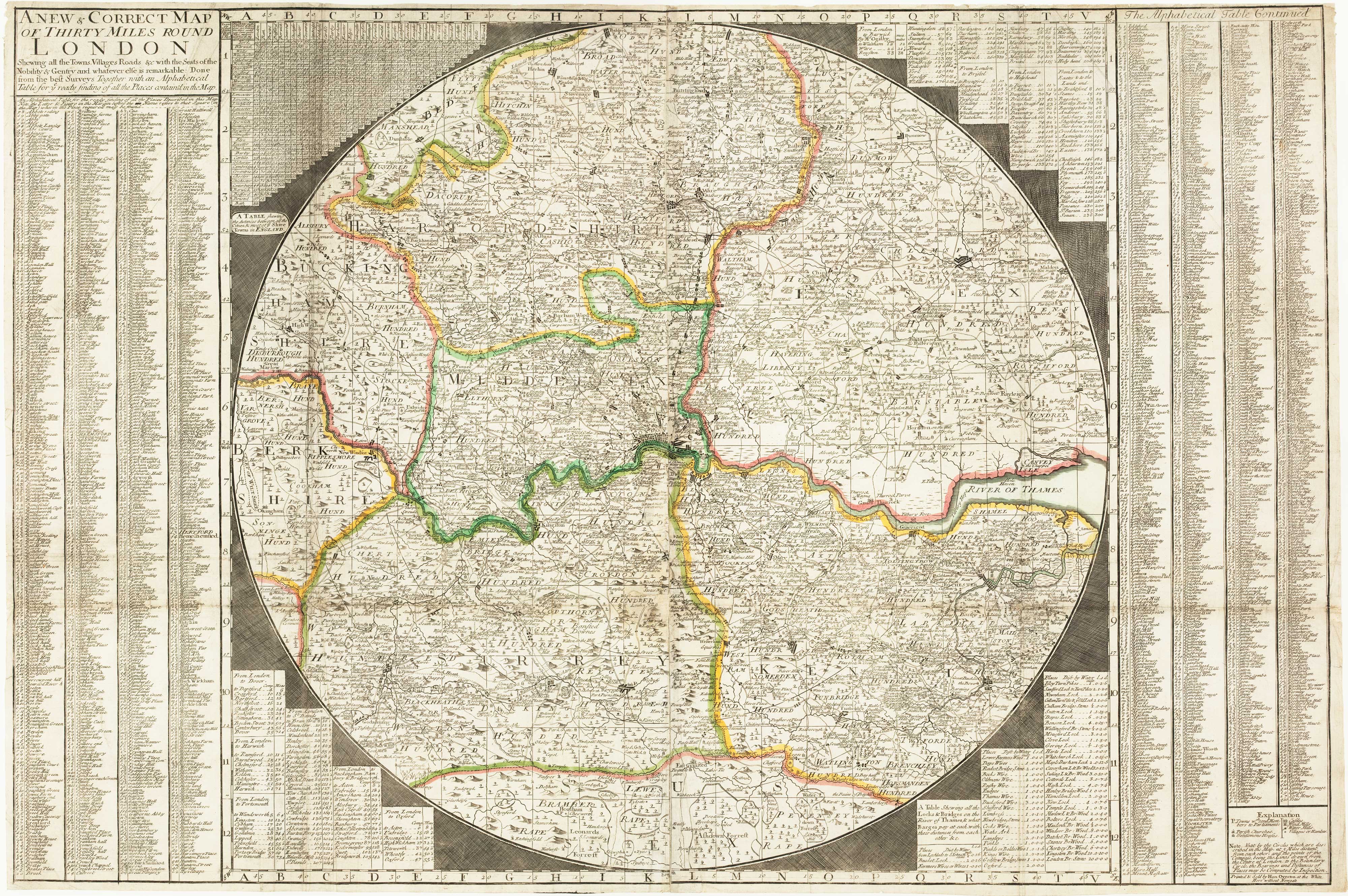
Antique Maps by OVERTON, Henry.
Henry Overton (active c.1680–1750) was an English printseller and map publisher whose importance lies in his role within London’s flourishing trade in engraved maps and topographical prints in the late Stuart and early Georgian periods. Working from premises on Fleet Street, he helped disseminate both new productions and reissues of established plates to a broad, increasingly metropolitan market.
Overton is best understood as a commercial publisher rather than a surveyor-cartographer. His imprint appears on a range of separately issued maps and views, typically engraved by specialist craftsmen and often drawing upon earlier sources, updated for contemporary tastes and political geography. Like many printsellers of the period, he operated at the intersection of news, spectacle, and practical geography, supplying decorative and informative imagery for collectors, travellers, and the domestic wall-map trade.
The Overton business was continued by members of his family, and the name remains associated with a long-lived publishing concern that circulated and preserved much late seventeenth- and eighteenth-century English cartographic and graphic production.
→ Explore more works by Henry Overton