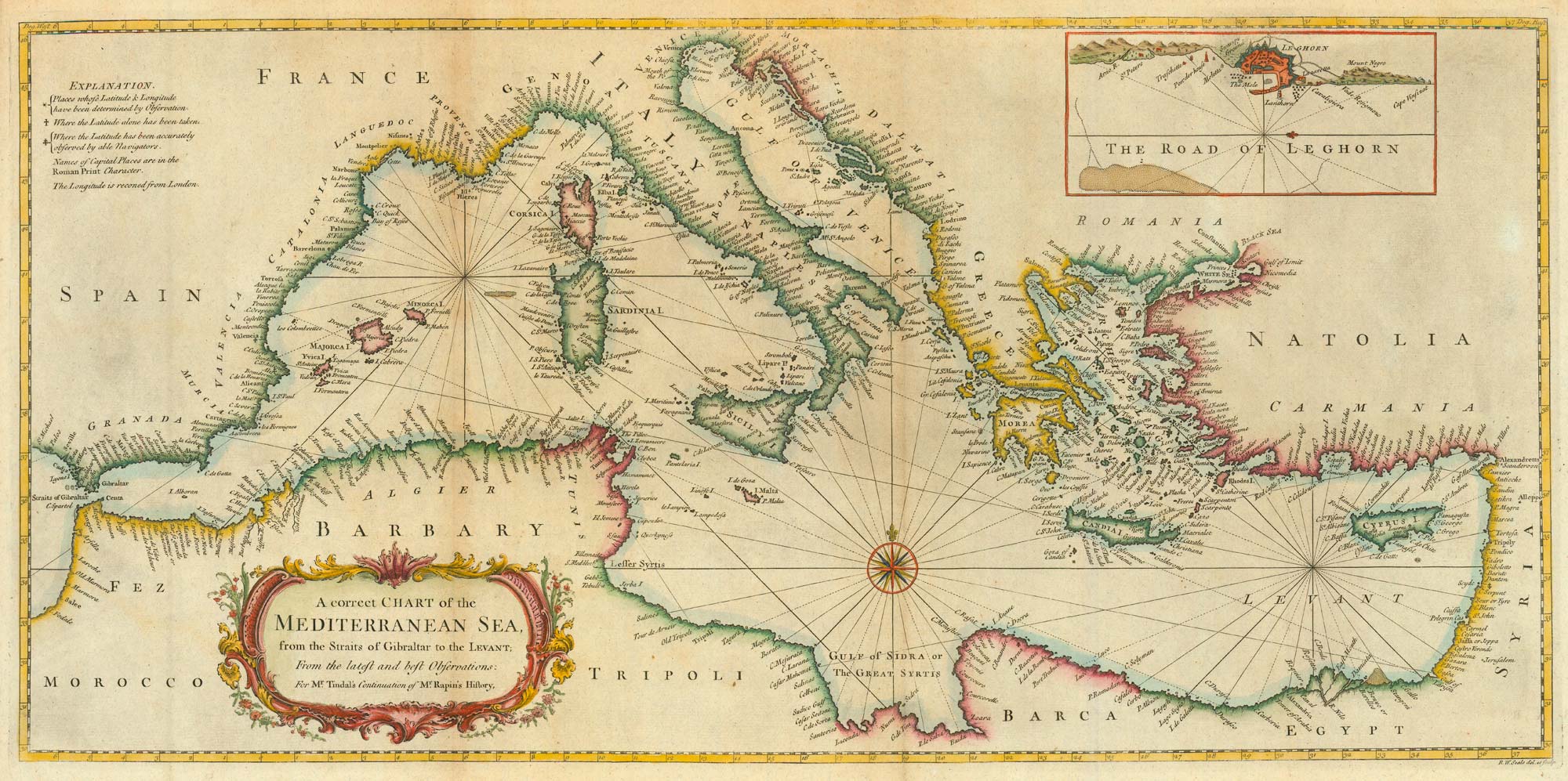
Antique Maps by SEALE, Richard William.
Richard William Seale (dates unknown) was a British map publisher and engraver active in London, best known for producing accessible, neatly engraved maps for the late Georgian and early Victorian market. Although not a major innovator in survey or projection, Seale matters for the way his work helped disseminate current geographical knowledge in a period when travel, trade and popular education were rapidly expanding.
Seale’s imprint is encountered on a range of separately issued maps and small-format atlases, typically characterised by clear line-work, straightforward lettering and practical presentation. Like many commercial mapmakers of his day, he drew upon established authorities and earlier plates, updating and reissuing material to meet demand rather than pursuing original fieldwork. His output sits within the broader London print trade, where the boundaries between engraver, compiler and publisher were often fluid.
Because documentary details of Seale’s life and career are limited, he is chiefly remembered through the surviving maps bearing his name, which offer a useful snapshot of contemporary geography and publishing practice.
→ Explore more works by Richard William Seale