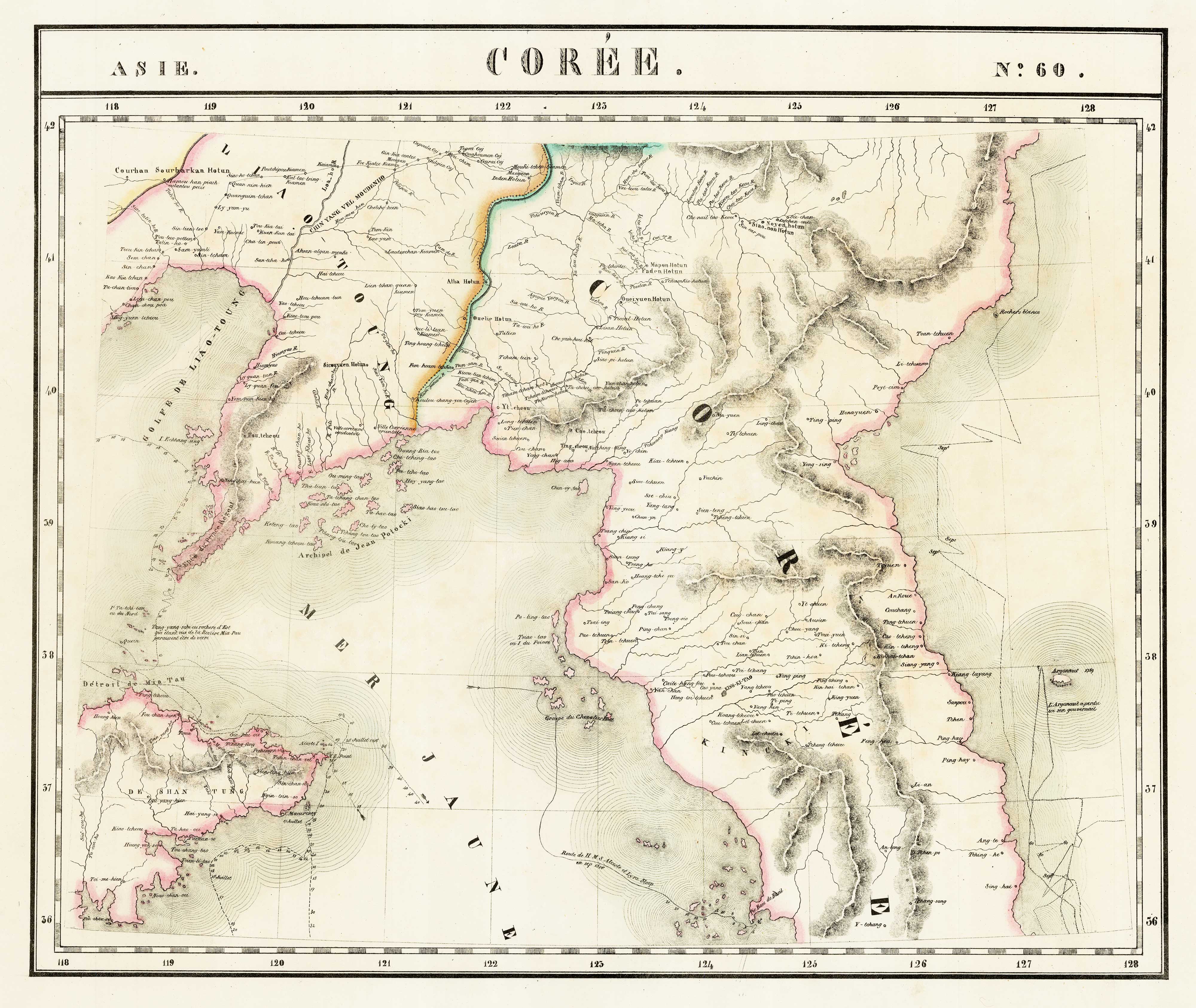
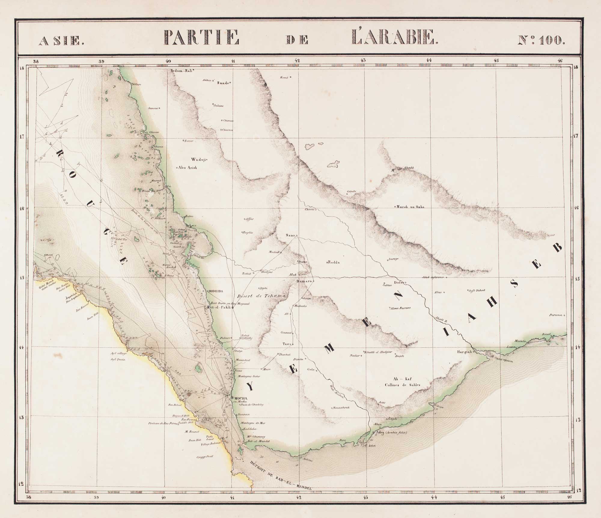
Antique Maps by VANDERMAELEN, Philippe.
Philippe Vandermaelen (1795–1869) was a Belgian cartographer, geographer and publisher, notable for bringing an ambitious, scientific spirit to nineteenth-century commercial map-making in Brussels. He is best remembered for attempting a coherent mapping of the entire globe at a uniform scale, an undertaking that placed him among the most innovative private cartographic entrepreneurs of his day.
Between 1825 and 1827 he issued the monumental Atlas universel, a multi-sheet world atlas engraved with exceptional consistency and clarity. Conceived so that the sheets could be assembled into a large globe, it was also among the first atlases to map the world at a single scale throughout, a feature that appealed to scholars as well as to administrators and travellers.
Vandermaelen supported his cartographic work through an active publishing enterprise, producing thematic and regional maps and contributing to the wider circulation of geographical knowledge in Belgium. His output is valued for its careful compilation, distinctive presentation, and its place in the transition from eighteenth-century decorative atlas-making to modern, information-led cartography.
→ Explore more works by Philippe Vandermaelen
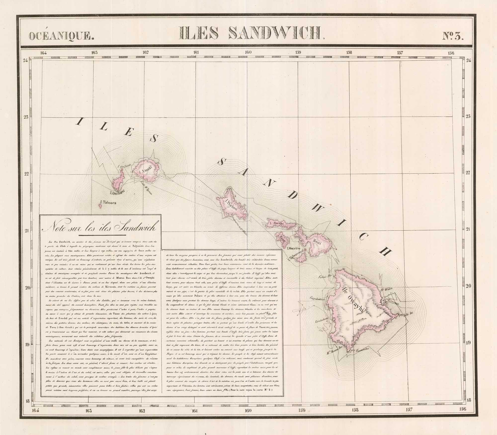
The largest map of Hawaii to appear in an atlas
VANDERMAELEN, Philippe. Date: 1827 Stock #: 26370 £750.00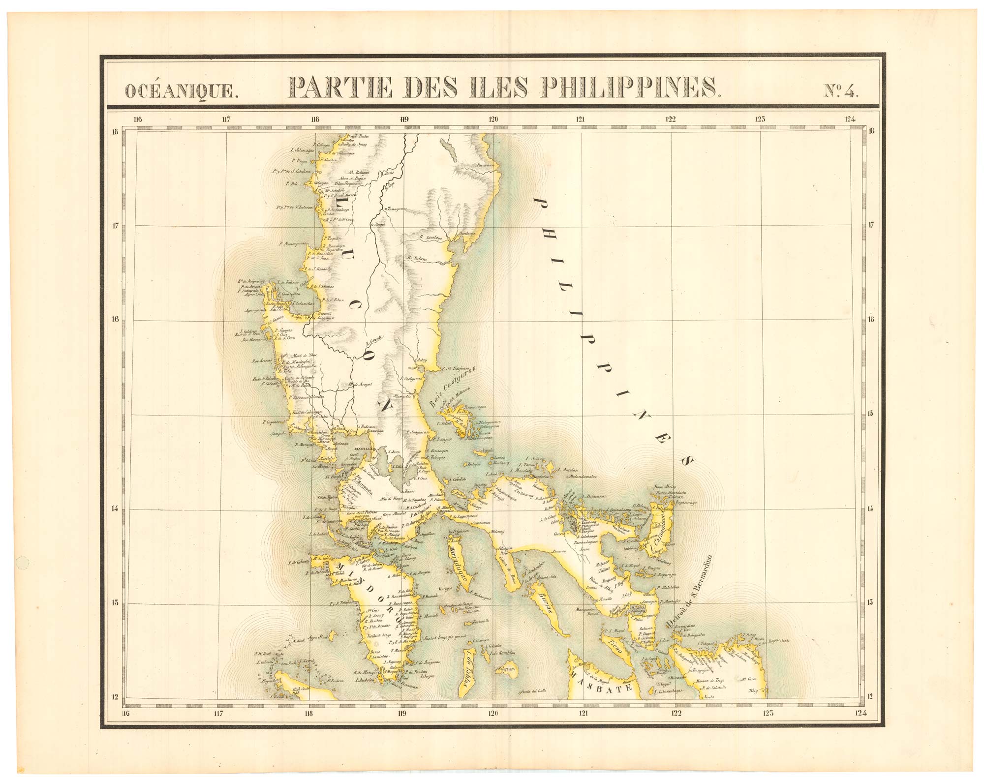
The 'complete' set of 6 maps of the Philippines
VANDERMAELEN, Philippe. Date: 1827 Stock #: 21698 £2,000.00![Océanique. Partie de la N.le Zèlande. No. 59. [& 60.] by VANDERMAELEN, Philippe., 1827.](https://altea-gallery-cdn.s3.eu-west-2.amazonaws.com/wp-content/uploads/2025/05/10125913/alteashop_21699.jpg)
Unusual pair of large-format maps of New Zealand
VANDERMAELEN, Philippe. Date: 1827 Stock #: 21699 £1,500.00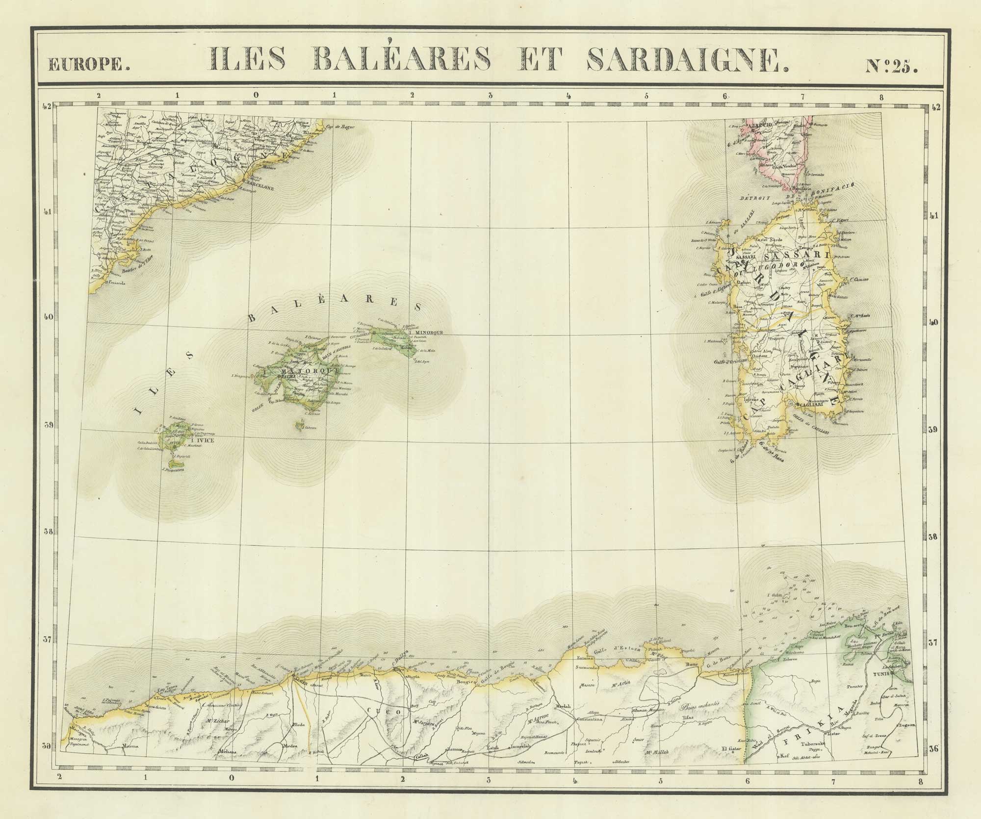
Uncommon map of the Balearics and Sardinia
VANDERMAELEN, Philippe. Date: 1827 Stock #: 21116 £220.00