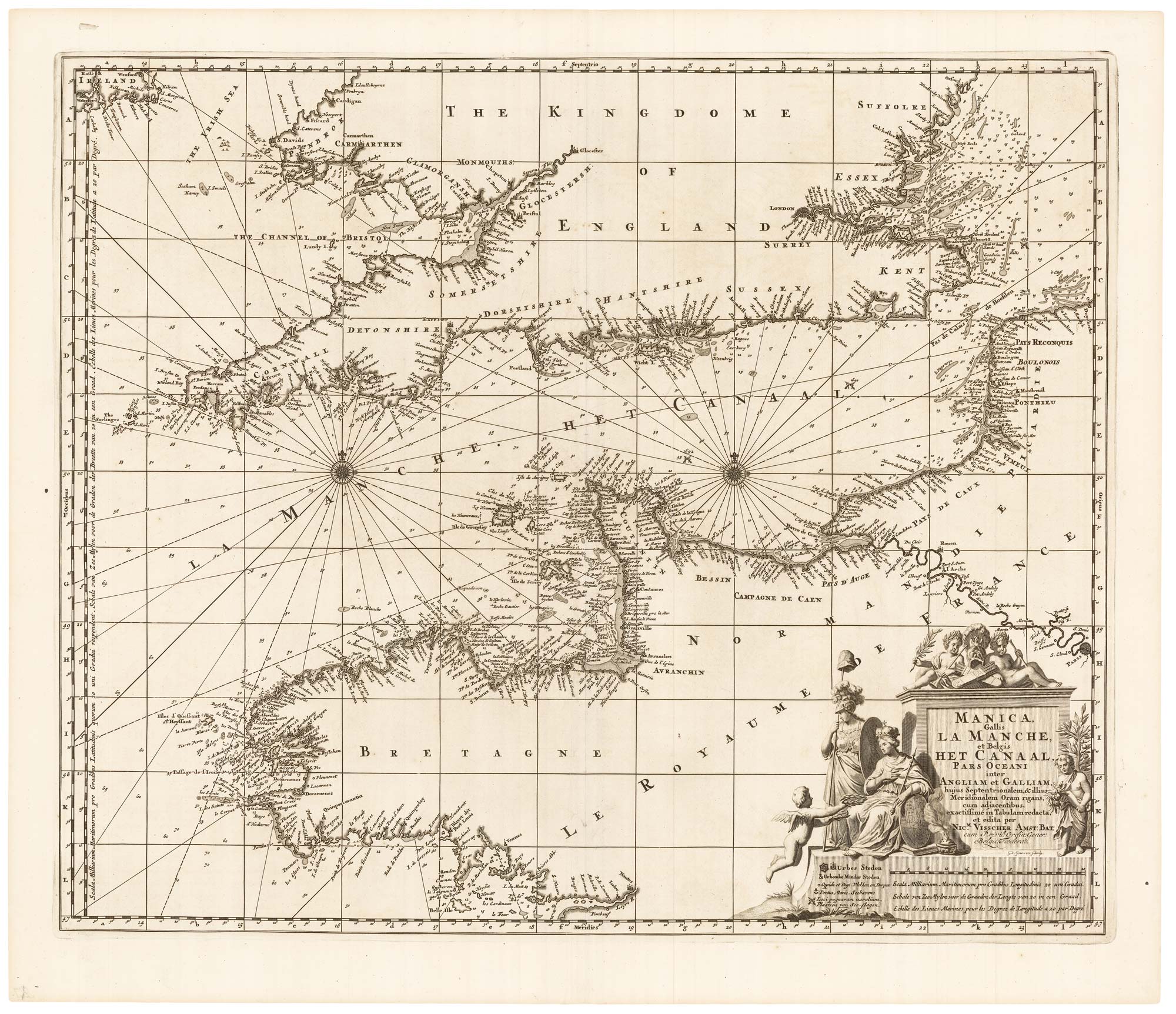
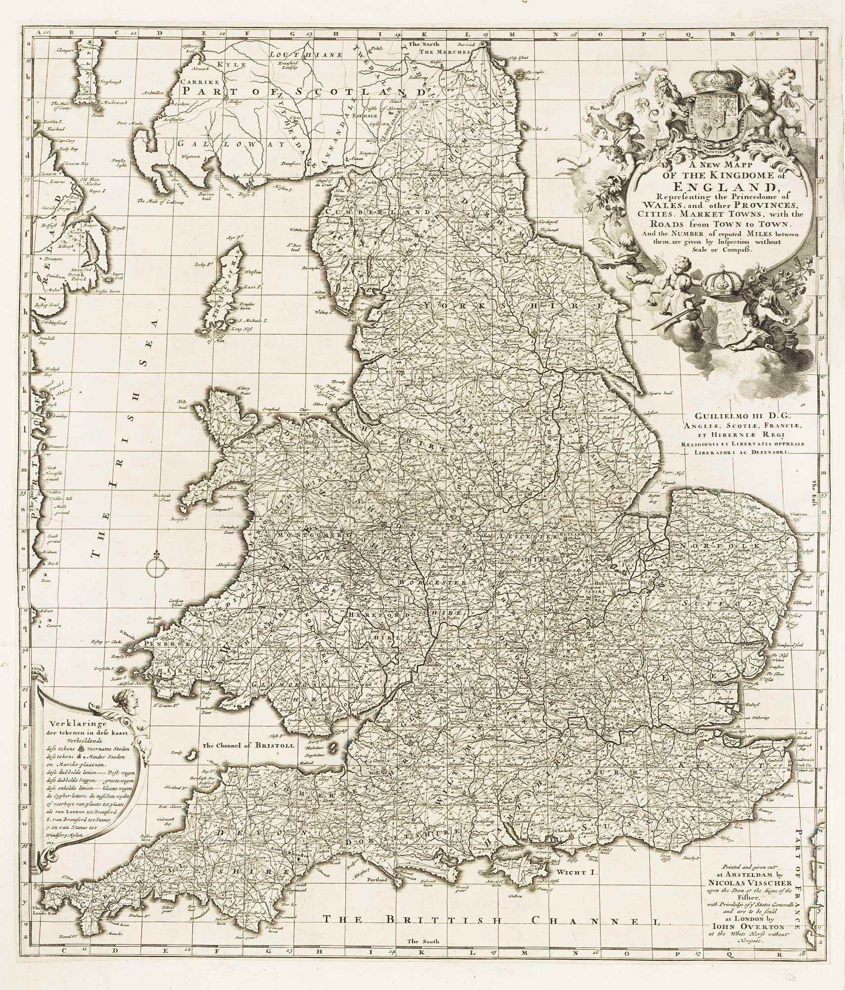
Antique Maps by VISSCHER, Nicolas.
Nicolas Visscher (1618–1679) was a Dutch map publisher and engraver active in Amsterdam, and one of the key figures in sustaining the city’s dominance in commercial cartography in the mid-seventeenth century. Working at a moment when Dutch mapping balanced scientific ambition with a strong export market, he is best known for issuing finely engraved maps and for consolidating and re-presenting the best available geographic intelligence in an accessible, marketable form.
Visscher traded under the sign of the Fisher (De Visscher), and his imprint appears on a wide range of sheets, from world and continental maps to regional surveys and city plans. His output drew on earlier Dutch sources as well as contemporary reports, and he became particularly associated with large-format wall maps and decorative compositions that combined cartographic content with elaborate title cartouches and allegorical imagery.
He also played an important role as a publisher within a family firm that continued after his death, with later maps commonly appearing under the name of his son, Nicolaes Visscher II. As a result, the Visscher name became a durable brand in the European map trade, linking successive states and reissues to a single, recognisable Amsterdam workshop.
→ Explore more works by Nicolas Visscher

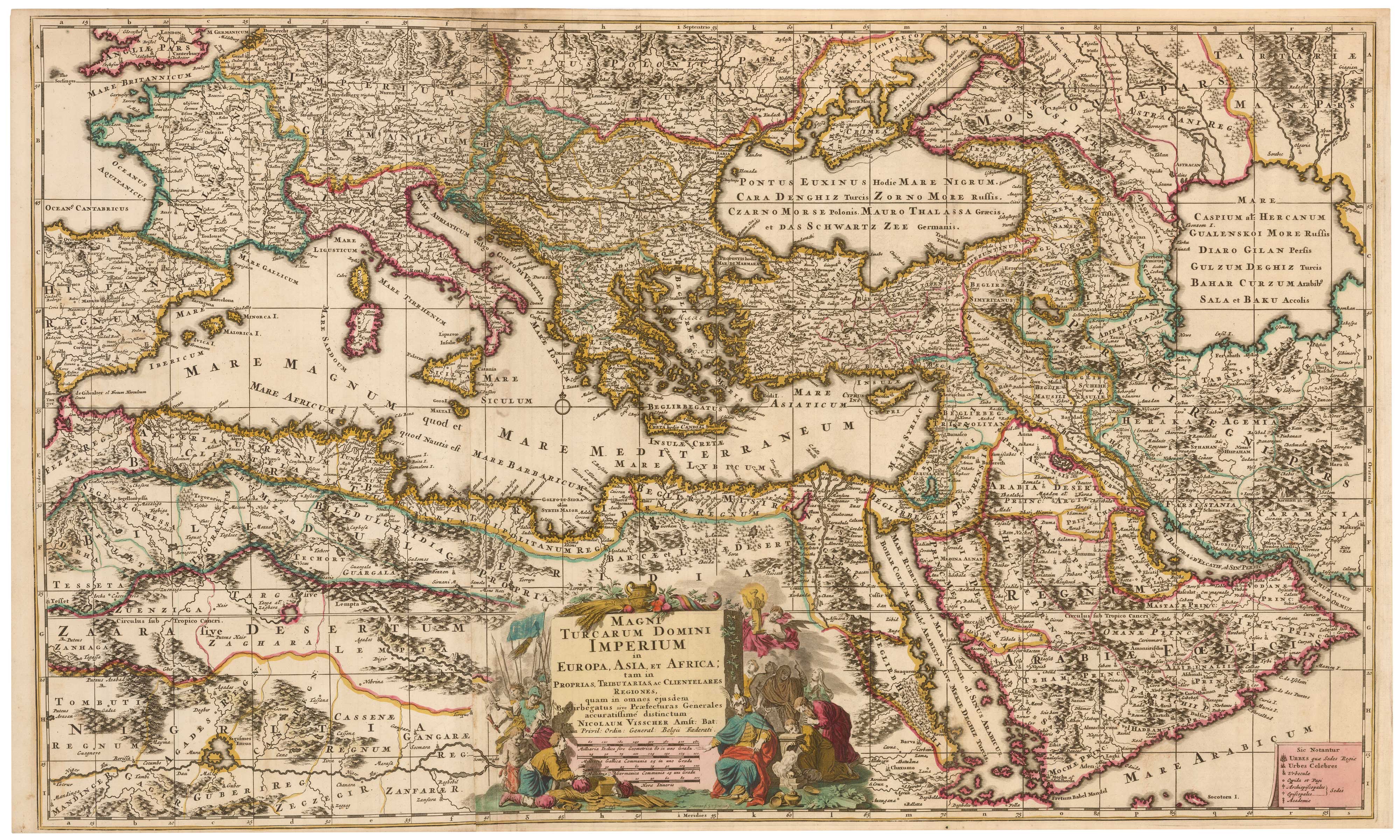
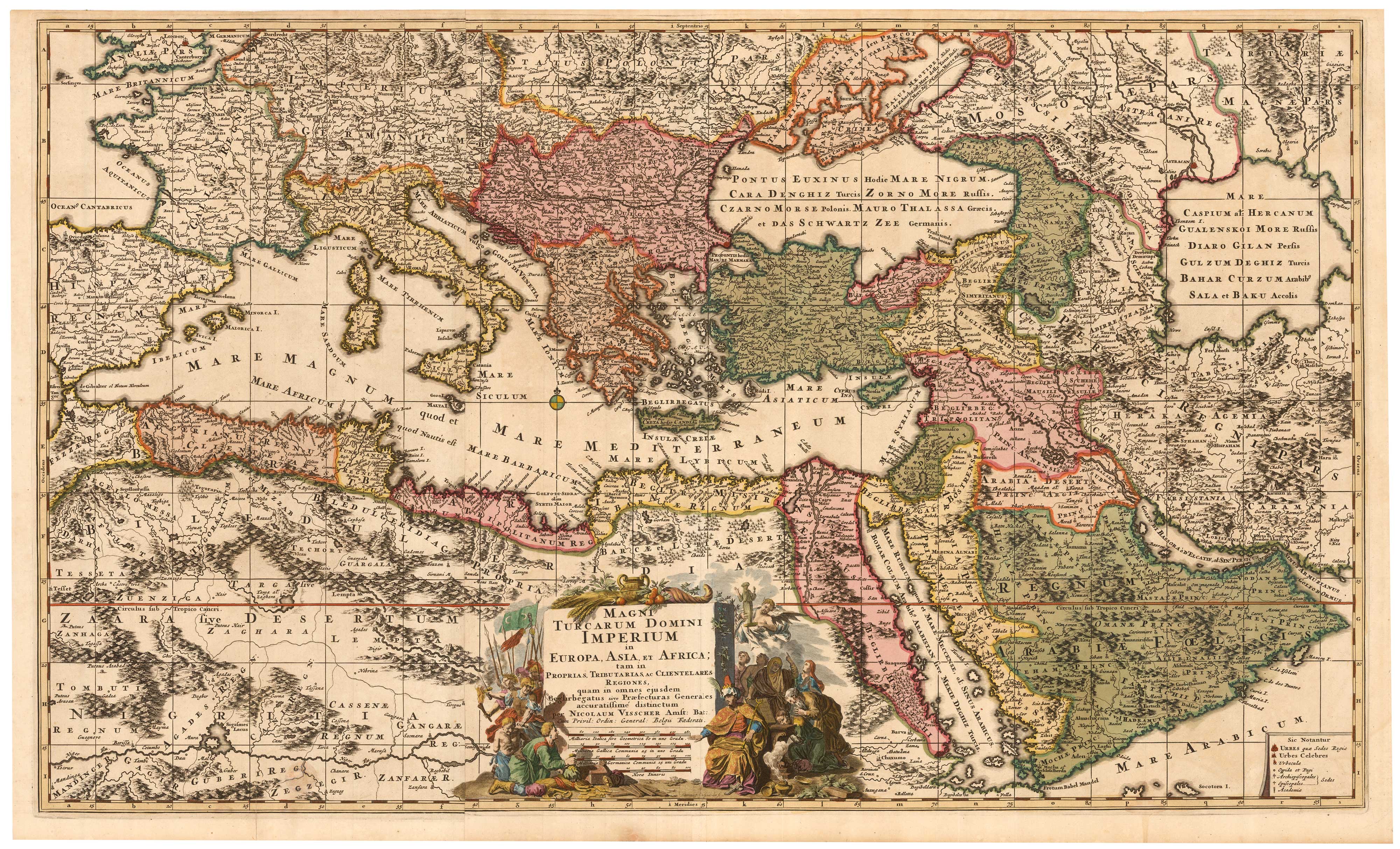

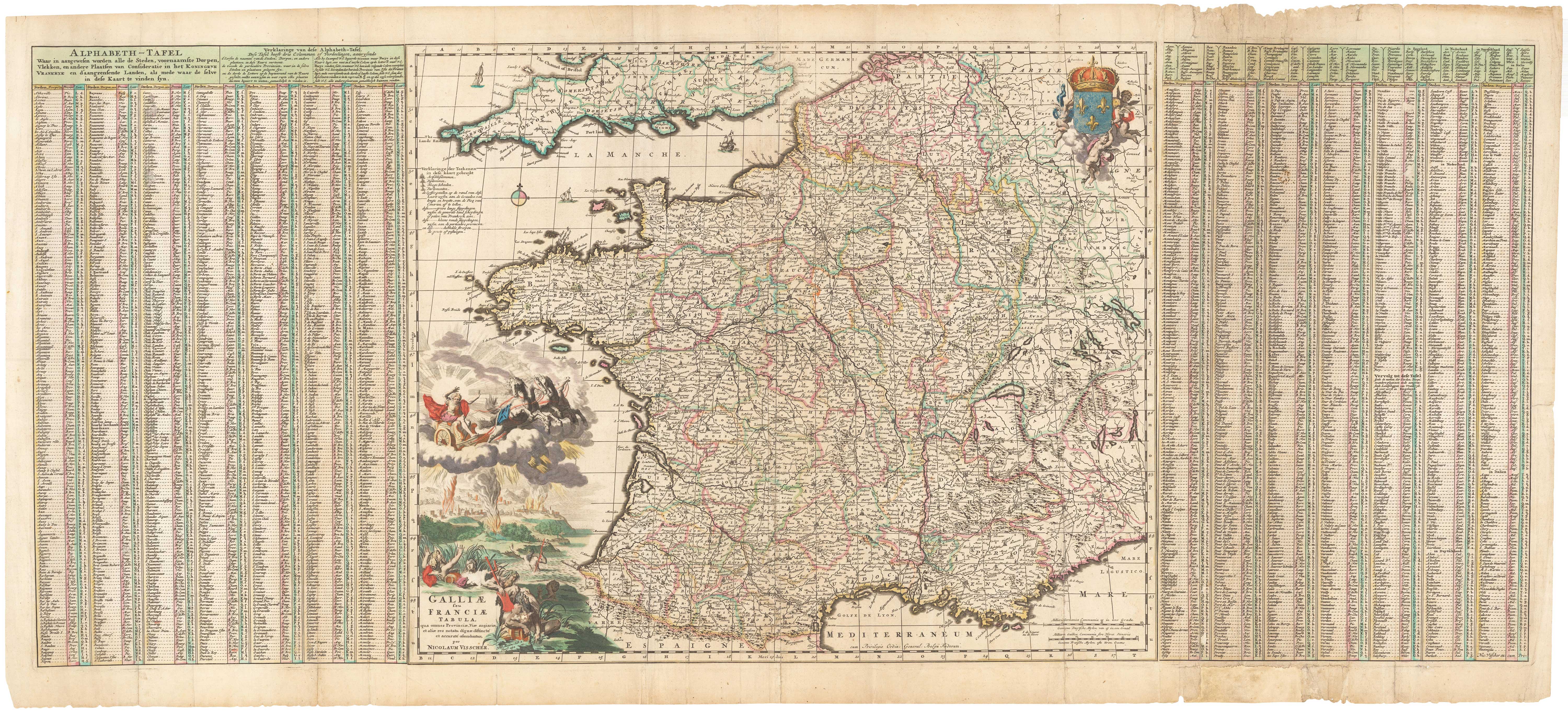
A 17th century map of France with rare gazzetteer side-panels
VISSCHER, Nicolas. Date: 1690 Stock #: 23744 £750.00