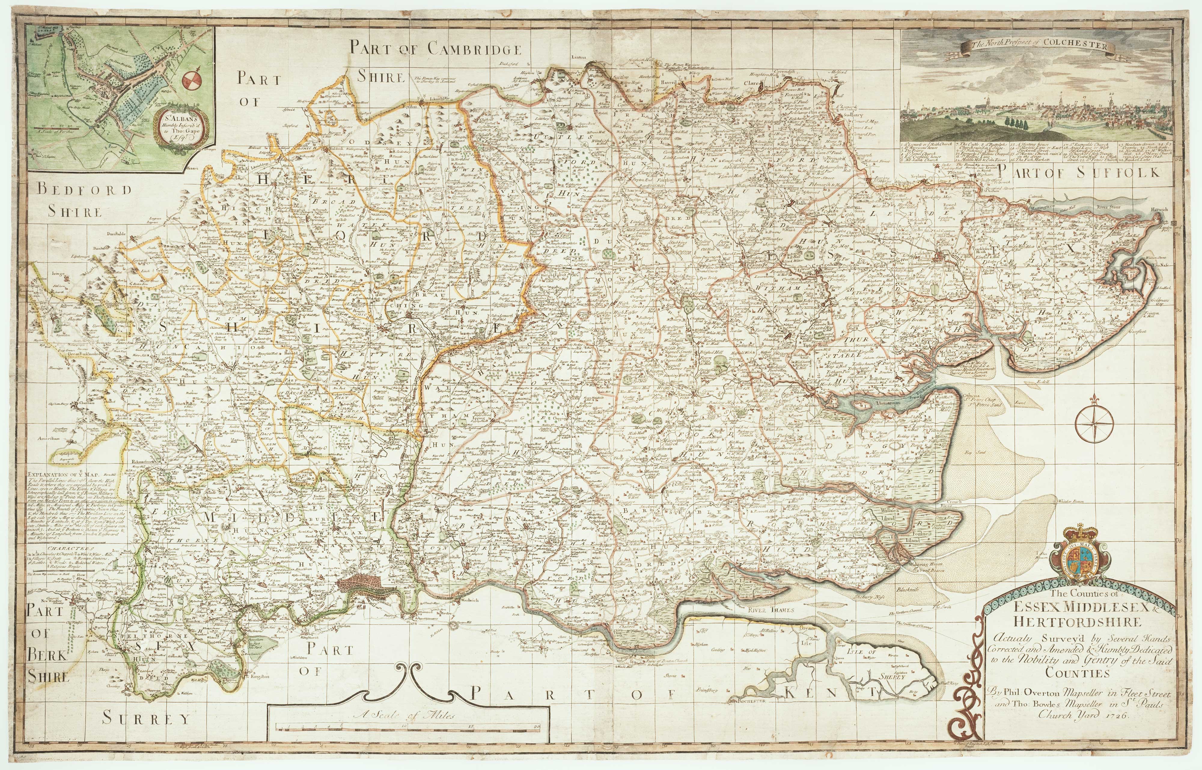
Antique Maps by WARBURTON, John.
John Warburton (c.1682–1759) was an English antiquary and mapmaker whose work matters chiefly for its early attempt to record the cartographic and documentary landscape of Britain in the first half of the eighteenth century. Active in London’s community of collectors and scholars, he combined topographical interests with a practical concern for maps as tools of reference.
Warburton is best remembered for the project usually known as the ‘Warburton maps’: county maps and related surveys assembled and prepared for publication, representing a transitional moment between the seventeenth-century county atlas tradition and later, more systematically surveyed mapping. Although not all of his material reached print in his own lifetime, his compilations circulated and were drawn upon by later map publishers.
He also had a lasting, if mixed, reputation as a collector of manuscripts and records, reflecting the breadth of his antiquarian pursuits and the uneven fortunes of private archives in the period. For collectors today, Warburton’s name is associated with mid-Georgian county mapping, documentary scholarship, and the networks through which geographical knowledge was compiled and transmitted.
→ Explore more works by John Warburton
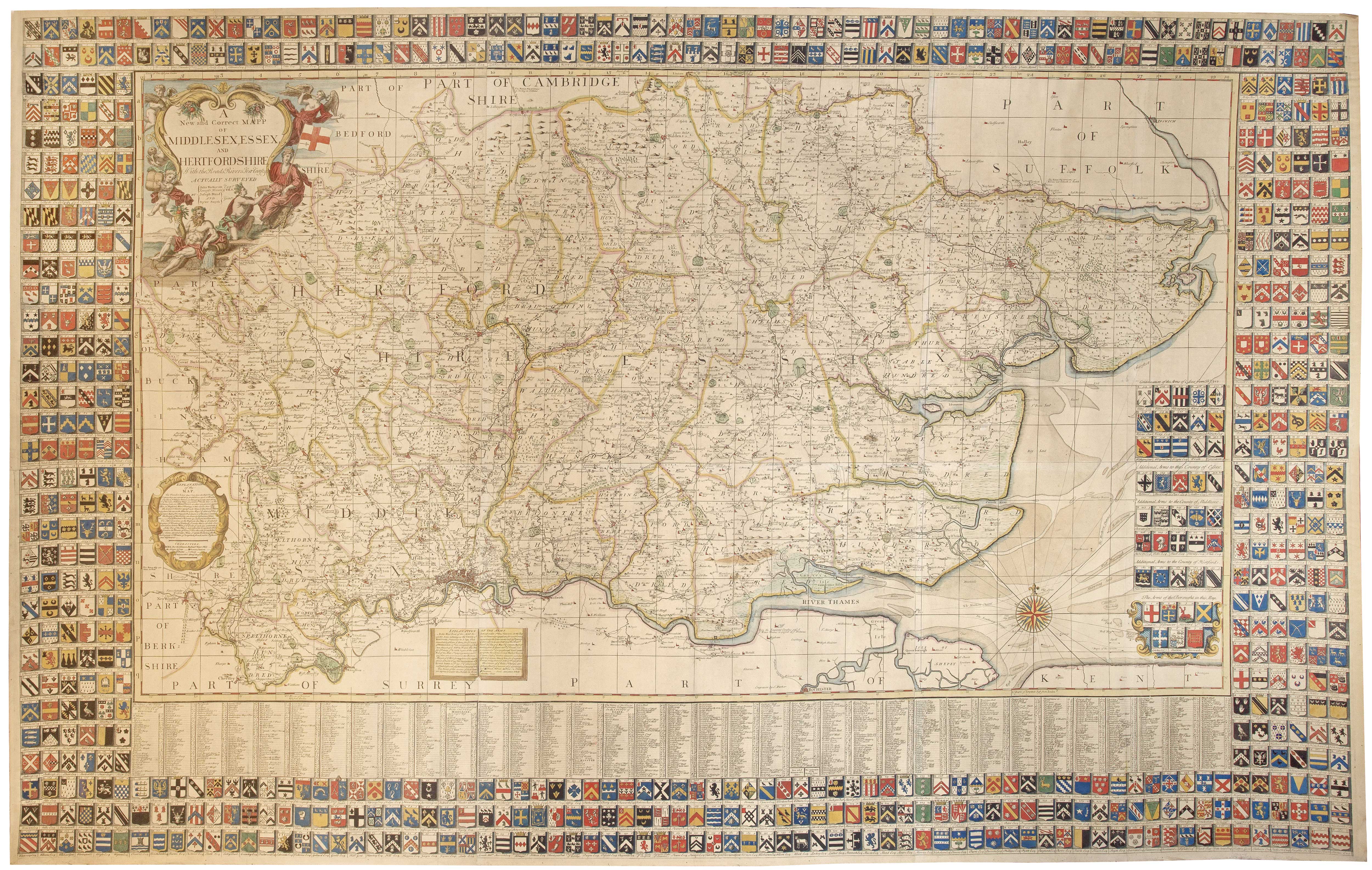
A monumental six-sheet map of Middlesex, Essex and Hertfordshire
WARBURTON, John. Date: 1726 Stock #: 25159 £6,500.00