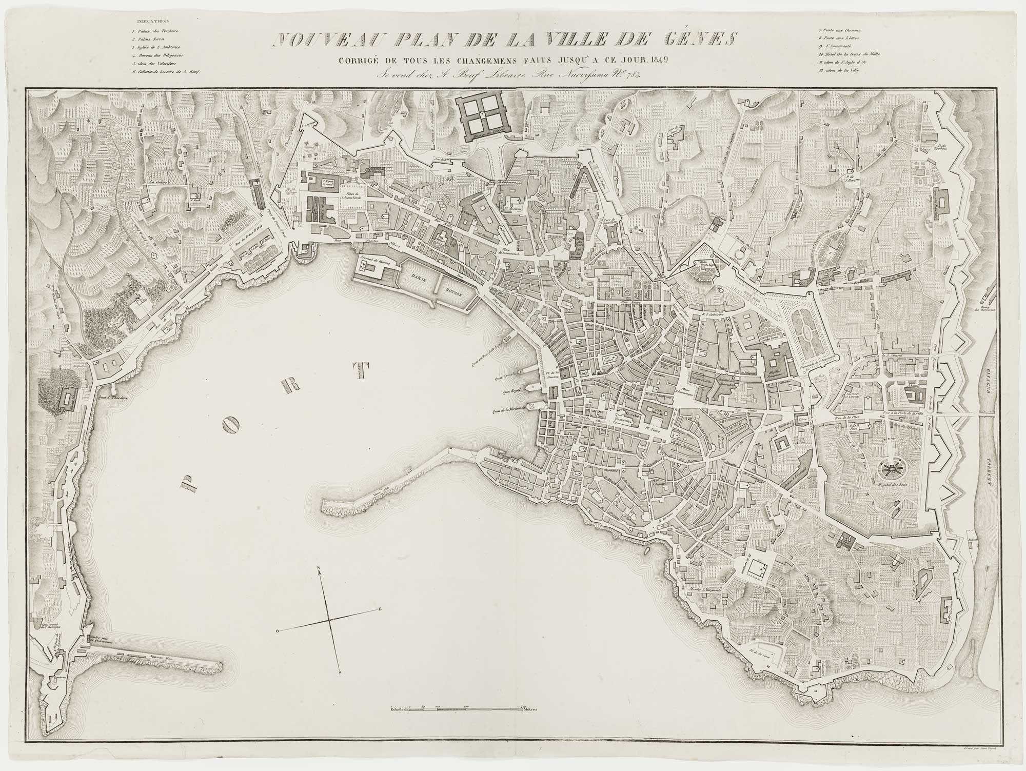
Antique Maps by ZUCOLI, Léon.
Léon Zucoli was a mapmaker and publisher active in the French tradition of late nineteenth- and early twentieth-century popular geography. Although biographical details and life dates are not securely established, his significance lies in his association with the commercial production of maps intended for practical reference and general readership, a sector that helped standardise geographic knowledge for a widening public.
Zucoli’s work is most often encountered as separately issued maps rather than as a landmark atlas, and surviving examples suggest an emphasis on clear delineation, legible toponymy, and a contemporary political framework. In this context he belongs to the broad ecosystem of European firms and individuals who disseminated up-to-date mapping through affordable print, sometimes adapting established cartographic sources to meet current events and administrative change.
As with many lesser-documented figures in the map trade, Zucoli’s output is best understood through the physical characteristics of his publications and their intended use rather than through a well-recorded personal career.
→ Explore more works by Léon Zucoli