
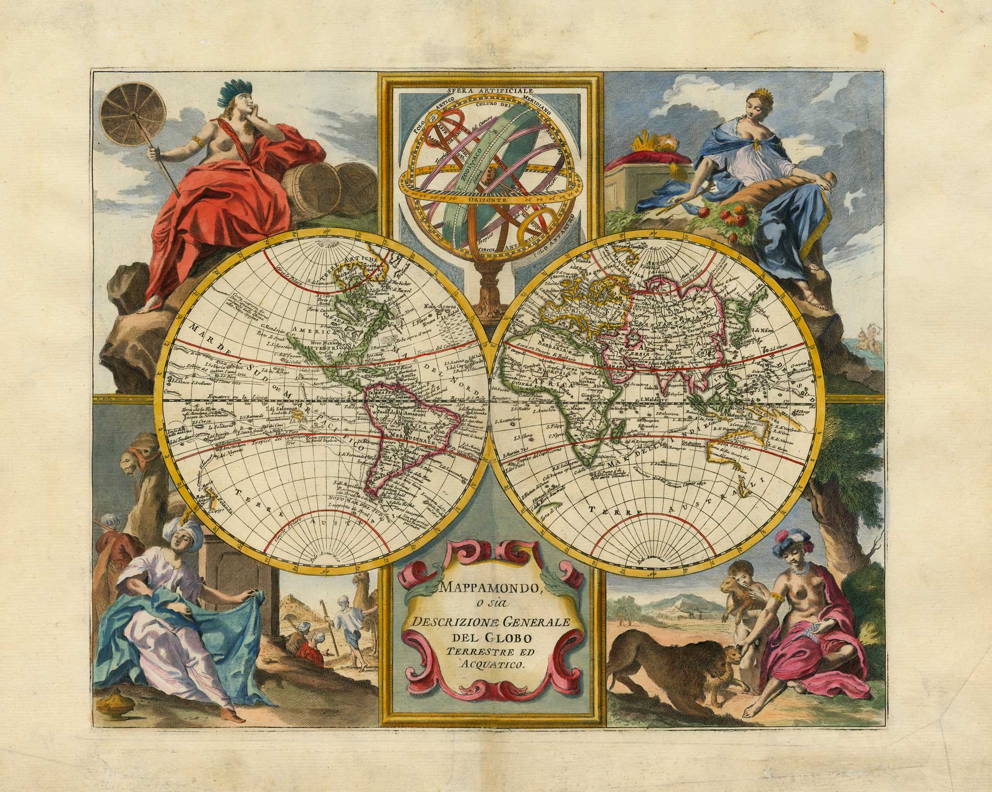


A mid-18th century Italian world map with allegorical figures of the continents
Mappamondo, o sia Descrizione Generale del Globo Terrestre ed Acquatico.
Venice, c.1742. Coloured. 300 x 360mm.
£1,200.00
1 in stock
x
Question About This Item?
A mid-18th century Italian world map with allegorical figures of the continents & ALBRIZZI, Giovanni Battista.Stock #: 26375"*" indicates required fields
Similar to Sell?
Add to Wishlist
Add to Wishlist
Description
A very decorative double-hemisphere map of the world, with female allegorical figures of the continents in the corners and an armillary sphere in the upper cusp. The map shows explorer's routes, including Magellan and Tasman; the NW Coast of America is left blank; Australia is depicted as attached to New Guinea; and New Zealand is incomplete, half a century before Cook.
Condition:
Minor repair to centre fold.Related products
-

A 17th century French double-hemisphere map of the world
TAVERNIER, Melchior. Date: 1643Stock #: 25197 £5,500.00 -

The world divided into maritime and terrestrial spheres
LAS CASAS, Emmanuel. Date: 1806Stock #: 25097 £500.00 -
![[Untitled world map.] by HALL, Joseph., 1607.](data:image/svg+xml,%3Csvg%20xmlns='http://www.w3.org/2000/svg'%20viewBox='0%200%20300%20304'%3E%3C/svg%3E)
A world map as an allegory of the corruption of Stuart London
HALL, Joseph. Date: 1607Stock #: 25785 £1,200.00 -

A rare 16th century world map depicting the aftermath of the Deluge
ARIAS MONTANUS, Benedictus. Date: 1571Stock #: 26053 £12,500.00 -

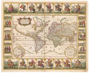
A world map with portraits of the Twelve Caesars in fine colours
VISSCHER, Claes Janszoon. Date: 1652Stock #: 17720 £15,000.00 -

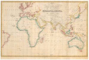
A separate-issue map of the route from England to China for the East India Company
WALKER, John. Date: 1829Stock #: 23958 £2,500.00 -

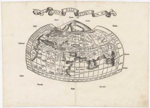
The very rare first issue of the Wäldseemüller/Fries Ptolemaic world
WALDSEEMULLER, Martin. Date: 1522Stock #: 25741 £5,500.00 -

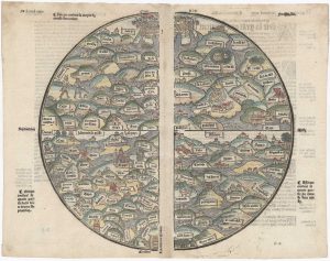
A medieval woodcut T-O world map
Anonymous. Date: 1543Stock #: 26284 £17,500.00 -
![[Cyrillic - Western Hemisphere. Eastern Hemisphere.] by IL'IN, A., 1890.](data:image/svg+xml,%3Csvg%20xmlns='http://www.w3.org/2000/svg'%20viewBox='0%200%20300%20169'%3E%3C/svg%3E)
A late-19th century double-hemisphere world map in Cyrillic
IL'IN, A. Date: 1890Stock #: 19431 £1,200.00
![[Untitled world map.] by HALL, Joseph., 1607.](https://altea-gallery-cdn.s3.eu-west-2.amazonaws.com/wp-content/uploads/2025/07/03135821/alteashop_25785-300x304.jpg)
![[Cyrillic - Western Hemisphere. Eastern Hemisphere.] by IL'IN, A., 1890.](https://altea-gallery-cdn.s3.eu-west-2.amazonaws.com/wp-content/uploads/2025/05/10122921/alteashop_19431-300x169.jpg)
Items by the same author
Add to Wishlist
Add to Wishlist
