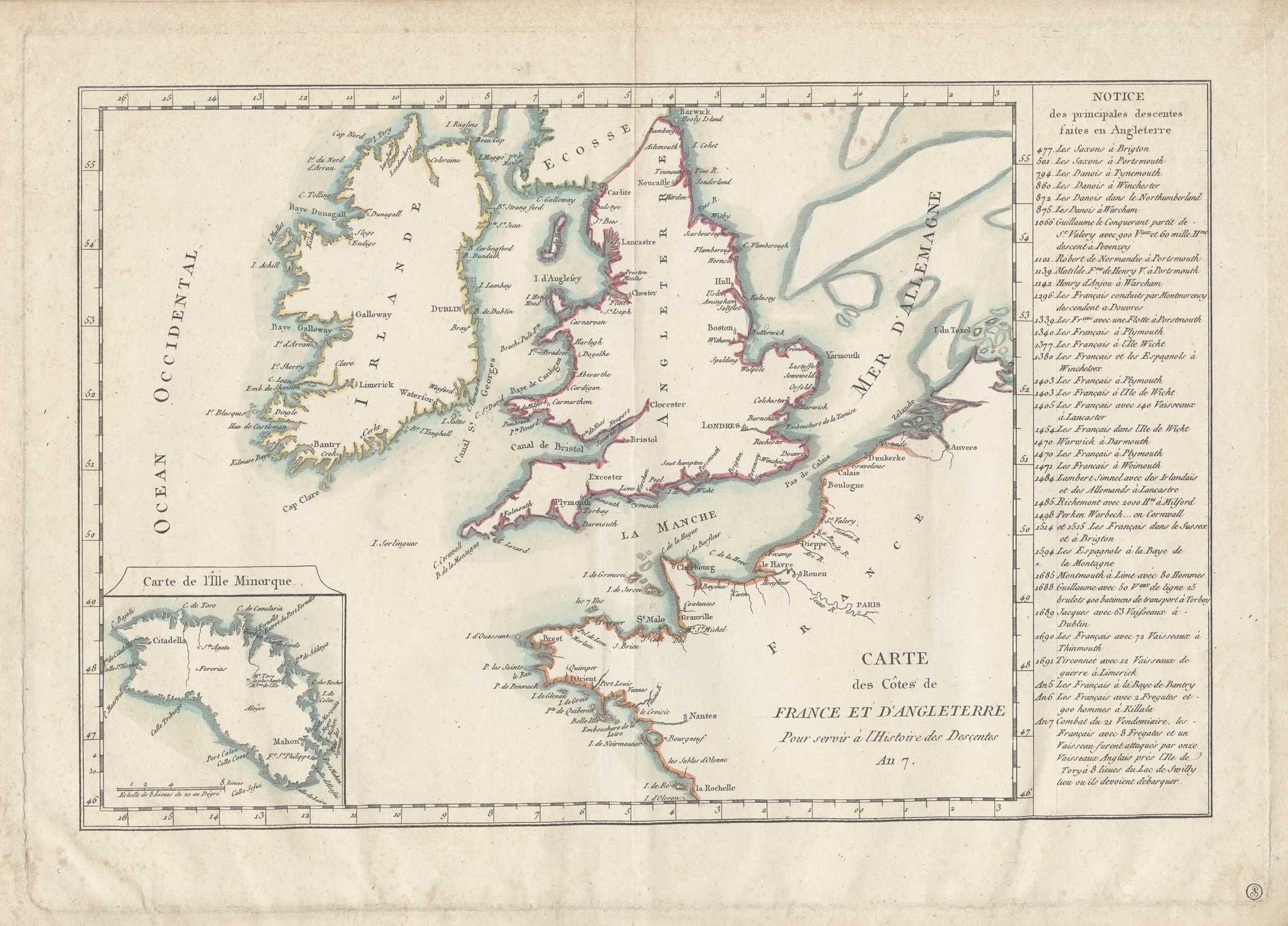


A French propaganda map listing attacks on Britain
Carte des Côtes de France et d'Angleterre Pour servir à l'Histoire des Descentes. An 7.
Paris?, 1798-99. Original colour. 290 x 410mm.
£220.00
1 in stock
x
Question About This Item?
A French propaganda map listing attacks on Britain & Anonymous.Stock #: 26482"*" indicates required fields
Similar to Sell?
Add to Wishlist
Add to Wishlist
Description
A French propaganda map listing 35 attacks on England, Wales and Ireland from the Saxons in the 5th century to the Battle of Tory Island, one of the French attacks in support of The Irish Rebellion of 1798. In the bottom left is an inset with a map of Menorca, recently recaptured by the British, who had lost it to a Franco-Spanish force in 1782.
The map was published in year 7 of the French Revolution (September 1798 to September 1799), when the French invasion of England was expected.
Condition:
Mounted in album paper, collector's stamp in bottom right corner, some slight foxing.Related products
-

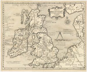
18th century map of the British Isles
PHILIPPE DE PRETOT, Etienne André. Date: 1787Stock #: 25657 £250.00 -

The first atlas issue of the Jodocus Hondius map of the British Isles
HONDIUS, Jodocus II. Date: 1633Stock #: 23008 £1,100.00 -

The route of Saint Ursula and the 11,000 virgin martyrs
HOGENBERG, Abraham. Date: 1647Stock #: 23910 £800.00 -

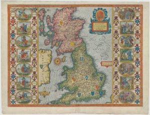
Speed’s famous map of the Saxon Heptarchy
SPEED, John. Date: 1627Stock #: 26341 £2,500.00 -

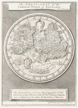
The Great Seal of the Commonwealth, 1651
SIMON, Thomas. Date: 1753Stock #: 17363 £650.00 -

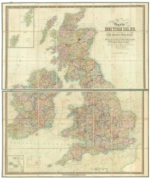
A folding map of the British Isles with fine hand colour
WALKER, J. & C. Date: 1840Stock #: 21202 £750.00 -

Inselin’s Jacobite map of the British Isles
INSELIN, Charles. Date: 1715Stock #: 20556 £2,200.00 -

Scarce Ottoman Turkish map of the British Isles
ESREF, Mehmet Date: 1909Stock #: 26635 £350.00 -

Hollar’s satire of the English Civil War
HOLLAR, Wenceslaus. Date: 1649Stock #: 25847 £1,400.00
Items by the same author
Add to Wishlist
Add to Wishlist
Add to Wishlist
Add to Wishlist
Add to Wishlist
Add to Wishlist
Add to Wishlist
Add to Wishlist
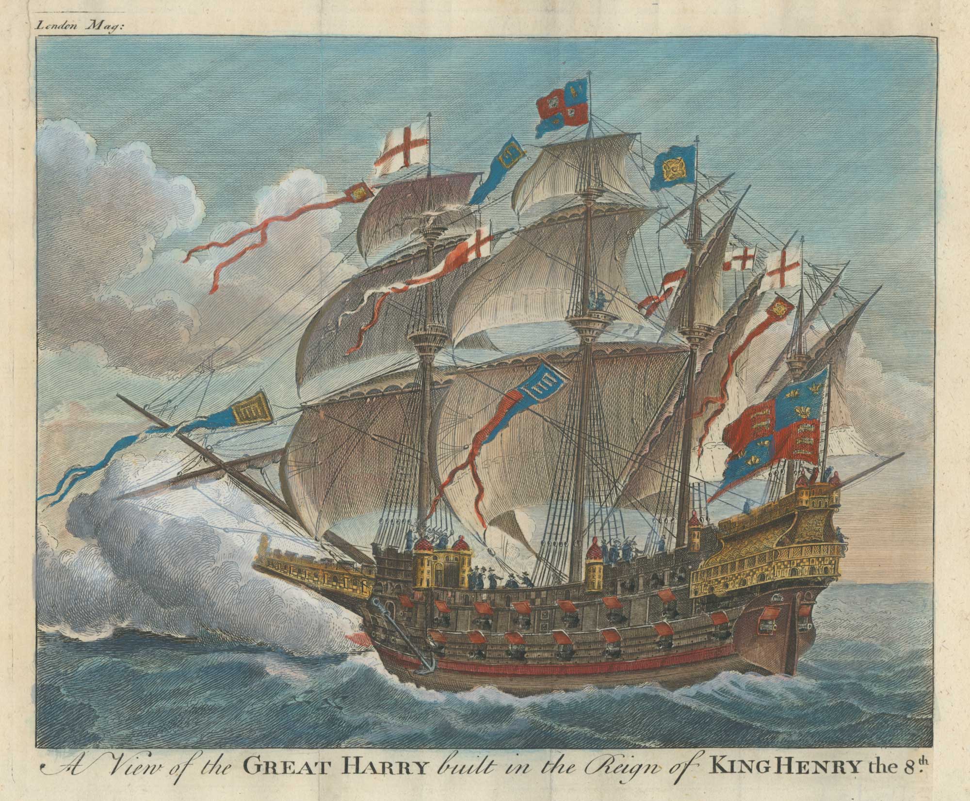
Henry VIII's carrack, once the biggest warship in the world
Anonymous. Date: 1756 Stock #: 26366 £160.00
Add to Wishlist
Add to Wishlist
Add to Wishlist
Add to Wishlist