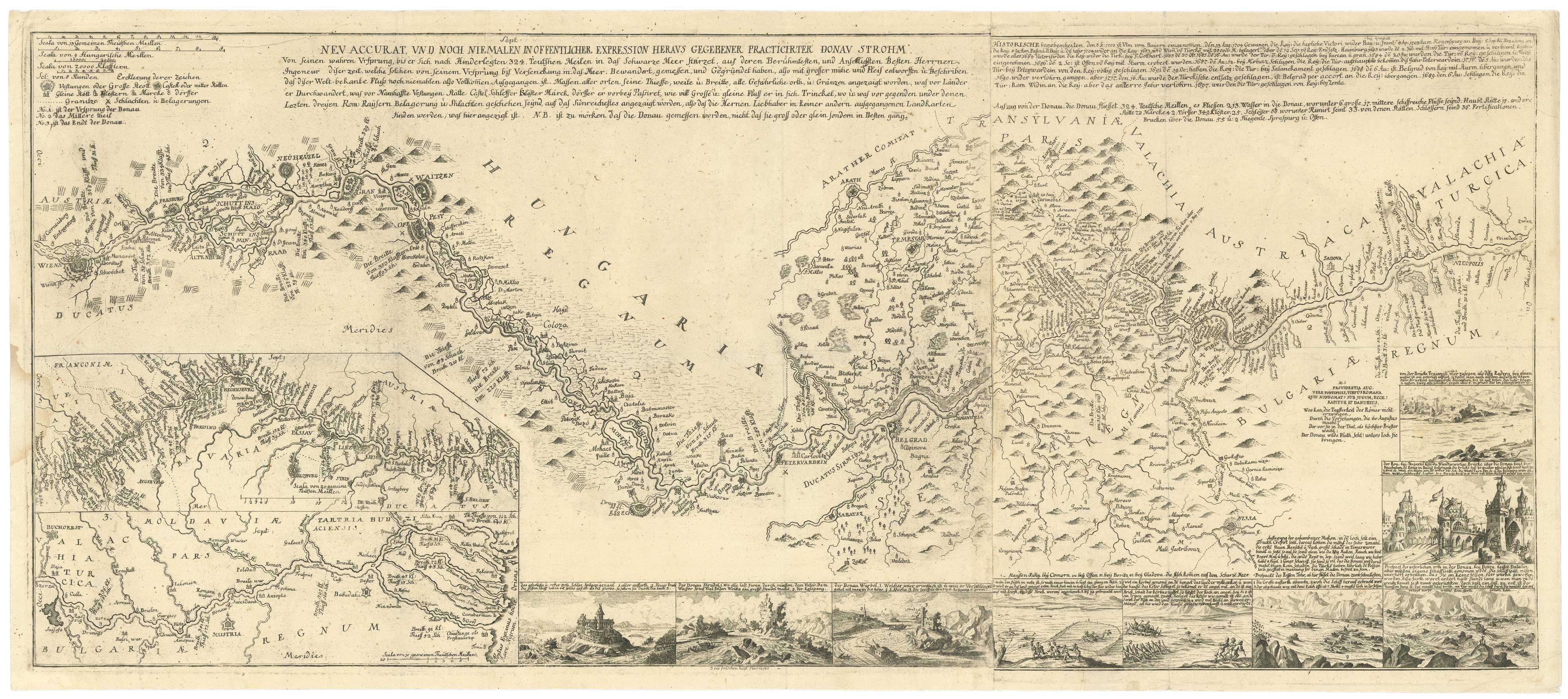


A rare German map of the Danube
Neu Accurat, und Noch Niemalen In Offentlicher Expression Heraus Gegebener Practicirter Donau Strohm.
[n.d.,c. 1738.] Two sheets conjoined, total 440 x 1030mm.
£3,750.00
1 in stock
x
Question About This Item?
A rare German map of the Danube & Anonymous.Stock #: 26615"*" indicates required fields
Similar to Sell?
Add to Wishlist
Add to Wishlist
Description
A very rare map of the Danube river as surveyed by German engineers at the time of the Austro-Turkish War of 1737-9, when the river was an important frontier as well as a vital trade route to the east.
The river is shown in three sections: from its source in Donaueschingen in the Black Forest to Kahlenbergerdorf on the outskirts of Vienna (shown in the upper map inset); from Vienna to Nicopol in Bulgaria (the main map); and from Bucharest to the Black Sea (lower inset). Nine more insets illustrate features of the river, including hazards and fishing techniques.
Condition:
Small damp stain in left edge.Related products
Items by the same author
Add to Wishlist
Add to Wishlist
Add to Wishlist
Add to Wishlist
Add to Wishlist
Add to Wishlist
Add to Wishlist
Add to Wishlist
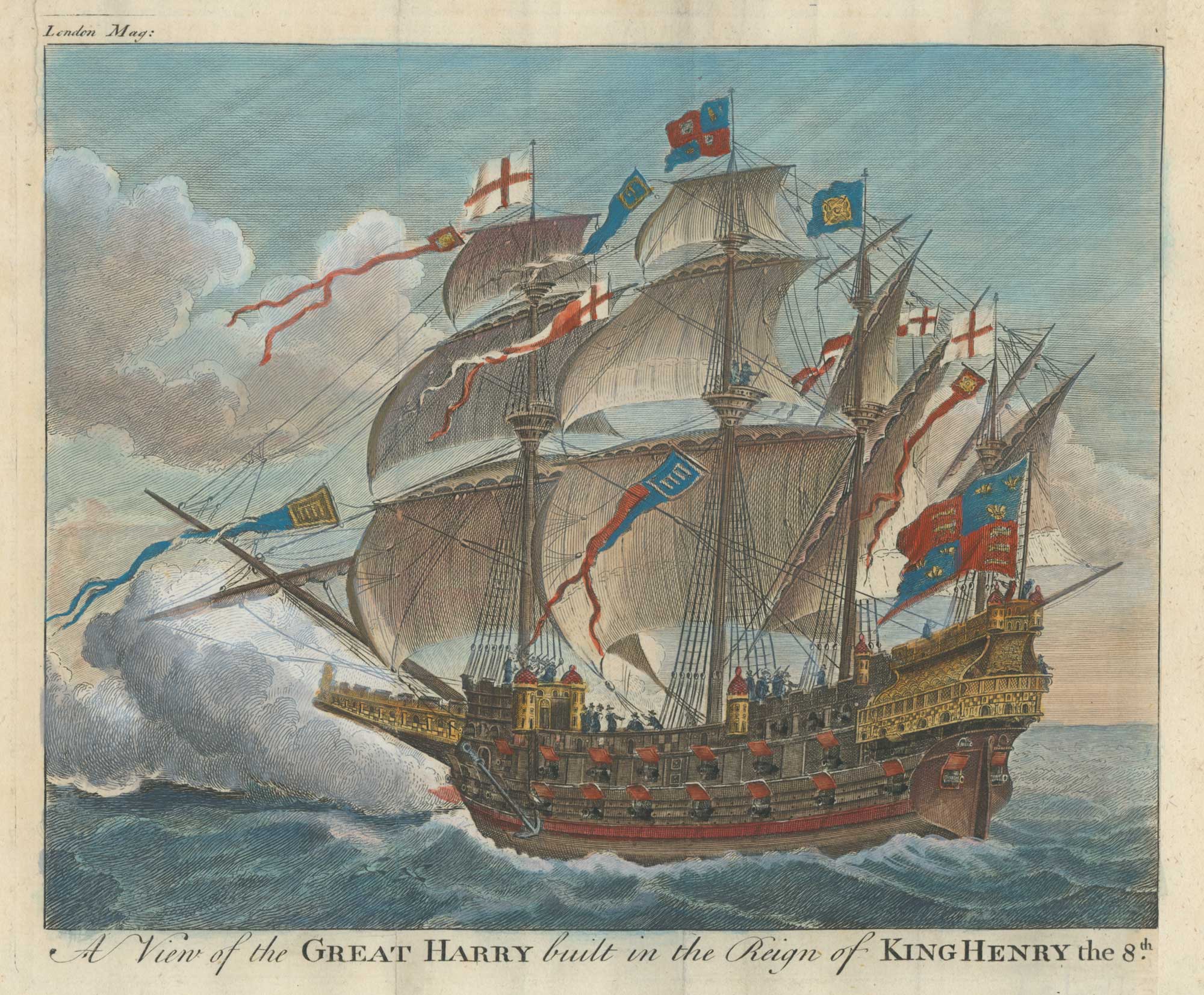
Henry VIII's carrack, once the biggest warship in the world
Anonymous. Date: 1756 Stock #: 26366 £160.00
Add to Wishlist
Add to Wishlist
Add to Wishlist
Add to Wishlist