
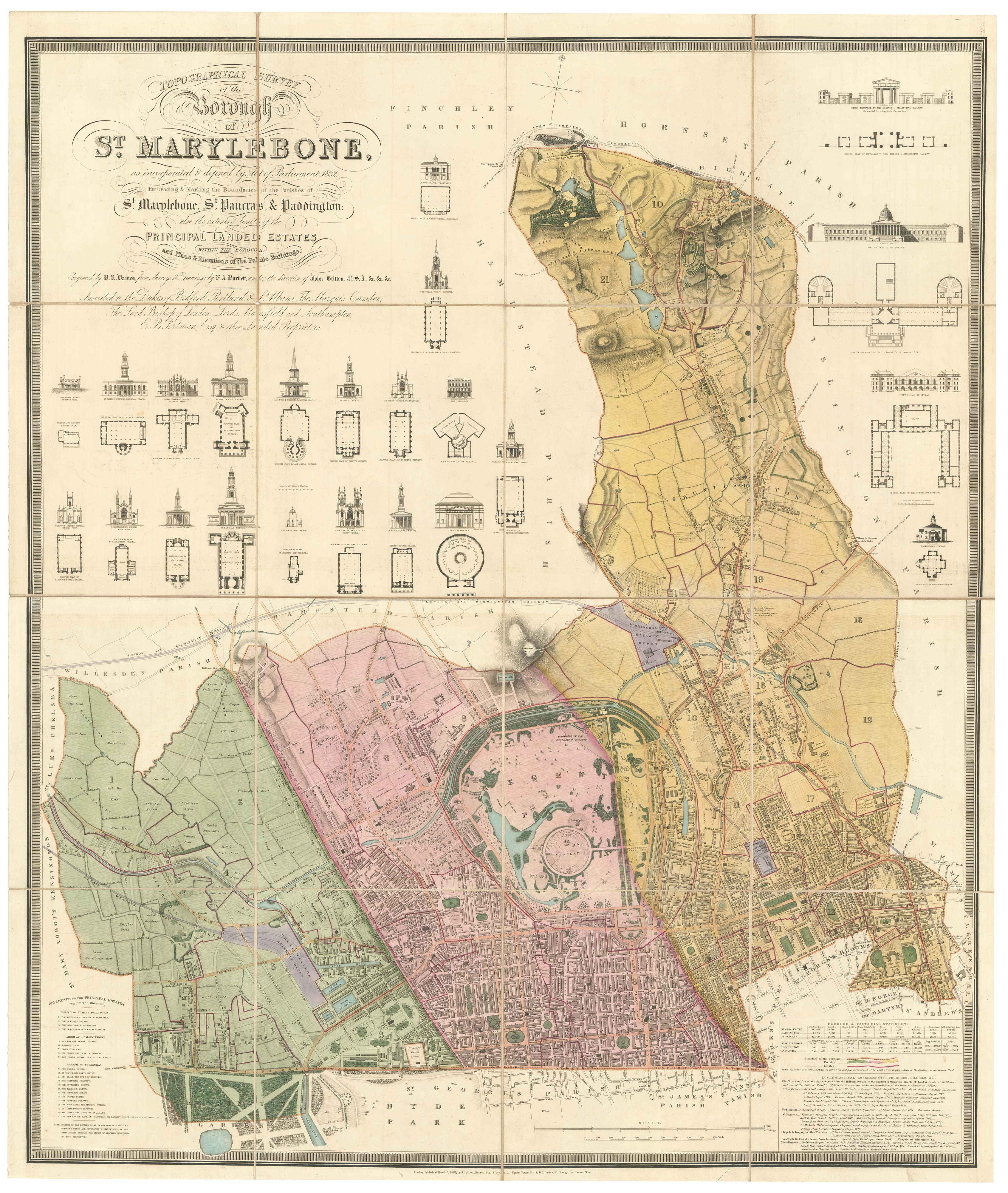


A map of the new borough of St Marylebone
Topographical Survey of the Borough of S.t Marylebone, as incorporated & defined by Act of Parliament 1832. Embracing & Marking the Boundaries of the Parishes of S.t Marylebone, S.t Pancras, & Paddington: also the extents and limits of the Principal Landed Estates within the Borough: and Plans & Elevations of the Public Buildings.
London: J. Britton, J. Taylor & B.R. Davies, 1838. Original colour. Dissected and laid on linen, total 1145 by 950mm.
£6,900.00
1 in stock
x
Question About This Item?
A map of the new borough of St Marylebone & BARTLETT, F.A.Stock #: 26589"*" indicates required fields
Similar to Sell?
Add to Wishlist
Add to Wishlist
Description
A very fine example of this large and colourful plan of the Parliamentary Borough of St Marylebone, created by the Great Reform Act of 1832. The plan is divided into three colours, for the old parishes: Paddington (still mostly fields) coloured green, Marylebone red, and St Pancras yellow.
The northern extent is Hampstead Lane from The Spaniards Tavern past Kenwood to Highgate Village; the southern extent is Oxford Street and Tavistock Place. The areas around the irregular borders of St Pancras are filled with elevations and floor plans of the important churches and other buildings, including the University of London and Foundling Hospital.
The map was first published in 1834; this edition has been updated primarily with the new railways, including: an enlarged 'Birmingham Railway Depot' with an extension continuing into Central London; and the layout of the 'Great Western Railway Depot', now Paddington Station.
Condition:
A good example.Related products
-

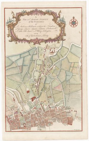
Rare map of Islington and central north London
COLE, Benjamin. Date: 1756Stock #: 25398 £320.00 -

John Nash’s proposed improvements to St James’s Park.
BASIRE, James. Date: 1829Stock #: 23951 -

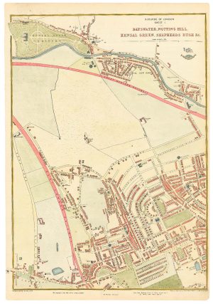
The development of Bayswater
WELLER, Edward. Date: 1863Stock #: 24803 £250.00 -

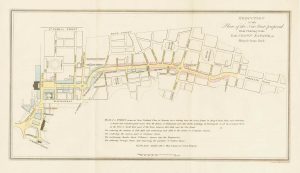
The proposed layout of Regent Street by John Nash
BACON, J. Date: 1815Stock #: 26706 £330.00 -

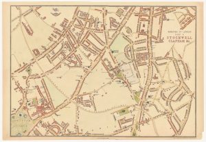
Highly detailed local plan of Stockwell and Clapham
WELLER, Edward. Date: 1863Stock #: 24078 £200.00 -

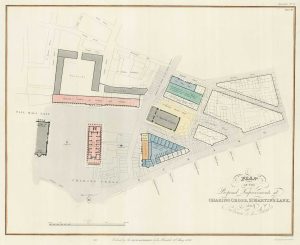
The planned redevelopment of Charing Cross
NASH, John. Date: 1826Stock #: 18494 £450.00 -
![Marylebone & St Pancras from an important large-scale survey of London - [Marylebone & St Pancras.] by HORWOOD, Richard., 1799 – Altea Gallery](data:image/svg+xml,%3Csvg%20xmlns='http://www.w3.org/2000/svg'%20viewBox='0%200%20300%20171'%3E%3C/svg%3E)
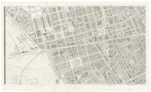
Marylebone & St Pancras from an important large-scale survey of London
HORWOOD, Richard. Date: 1799Stock #: 12668 £900.00 -

Mayfair & Marylebone from an important large-scale survey of London
HORWOOD, Richard. Date: 1813Stock #: 26372 £2,800.00 -
![[Chelsea.] A. 4. by HORWOOD, Richard., 1799.](data:image/svg+xml,%3Csvg%20xmlns='http://www.w3.org/2000/svg'%20viewBox='0%200%20300%20328'%3E%3C/svg%3E)
Chelsea from an important large-scale survey of London
HORWOOD, Richard. Date: 1799Stock #: 24403 £1,500.00
![Marylebone & St Pancras from an important large-scale survey of London - [Marylebone & St Pancras.] by HORWOOD, Richard., 1799 – Altea Gallery](https://altea-gallery-cdn.s3.eu-west-2.amazonaws.com/wp-content/uploads/2025/04/29153612/alteashop_12668-300x171.jpg)
![[Chelsea.] A. 4. by HORWOOD, Richard., 1799.](https://altea-gallery-cdn.s3.eu-west-2.amazonaws.com/wp-content/uploads/2025/05/17115338/alteashop_24403-300x328.jpg)