

Rare map of Islington and central north London
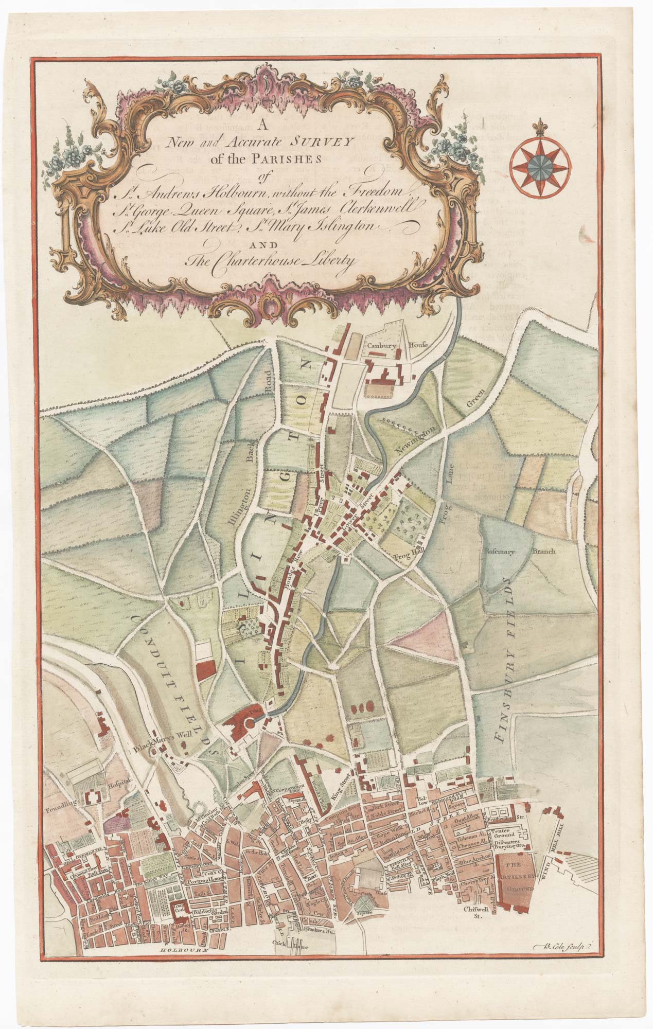
A New and Accurate Survey of the Parishes of St. Andrews Holbourn, St. George Queen Square, St. James Clerkenwell, St. Luke Old Street, St. Mary Islington and The Charterhouse Liberty.
London, 1756. Coloured. 365mm x 230mm.
£320.00
1 in stock
x
Question About This Item?
Rare map of Islington and central north London & COLE, Benjamin.Stock #: 25398"*" indicates required fields
Similar to Sell?
Add to Wishlist
Add to Wishlist
Description
A detailed street plan of Clerkenwell, showing Gray's Inn Road and Old Street, with Foundling's Hospital, Charterhouse Square and the Artillery Ground. The map extends north, to Canonbury House, showing the fields around Islington's Upper Street and Essex Road, with the New River and New River Head, a reservoir of drinking water for London.
The engraving was published in William Maitland's History and Survey of London.
Condition:
A good example.Related products
-

Plan of St James’s Parish at the end of the 17th century
BLOME, Richard. Date: 1720Stock #: 25160 £450.00 -

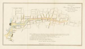
A plan for the Regent’s Canal
BASIRE, James. Date: 1812Stock #: 21670 £340.00 -

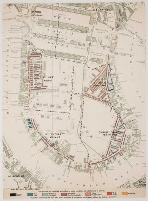
The Isle of Dogs from Booth’s Poverty Map of London
BOOTH, Charles. Date: 1900Stock #: 16083 £280.00 -

The proposed layout of Regent Street by John Nash
BACON, J. Date: 1815Stock #: 26706 £330.00 -
![A detailed plan of Fitzrovia with a view of the 'New Road' - [Fitzrovia .] by HORWOOD, Richard., 1794 – Altea Gallery](data:image/svg+xml,%3Csvg%20xmlns='http://www.w3.org/2000/svg'%20viewBox='0%200%20300%20326'%3E%3C/svg%3E)
A detailed plan of Fitzrovia with a view of the ‘New Road’
HORWOOD, Richard. Date: 1794Stock #: 16924 £750.00 -
![[Fitzrovia .] by HORWOOD, Richard., 1794.](data:image/svg+xml,%3Csvg%20xmlns='http://www.w3.org/2000/svg'%20viewBox='0%200%20300%20330'%3E%3C/svg%3E)
A detailed plan of Fitzrovia at the end of the 18th century
HORWOOD, Richard. Date: 1794Stock #: 20824 £500.00 -

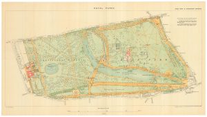
A detailed plan of Kensington Gardens and Hyde Park
ORDNANCE SURVEY. Date: 1906Stock #: 24529 £750.00 -
St James’s from an important large-scale survey of London
HORWOOD, Richard. Date: 1795Stock #: 24402 £1,500.00 -

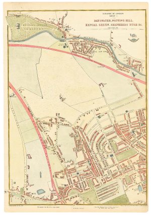
The development of Bayswater
WELLER, Edward. Date: 1863Stock #: 24803 £250.00
![A detailed plan of Fitzrovia with a view of the 'New Road' - [Fitzrovia .] by HORWOOD, Richard., 1794 – Altea Gallery](https://altea-gallery-cdn.s3.eu-west-2.amazonaws.com/wp-content/uploads/2025/05/08131101/alteashop_16924-300x326.jpg)
![[Fitzrovia .] by HORWOOD, Richard., 1794.](https://altea-gallery-cdn.s3.eu-west-2.amazonaws.com/wp-content/uploads/2025/05/10124350/alteashop_20824-300x330.jpg)
![[St James's.] B. 3. by HORWOOD, Richard., 1795.](https://altea-gallery-cdn.s3.eu-west-2.amazonaws.com/wp-content/uploads/2025/05/17115335/alteashop_24402-300x326.jpg)
Items by the same author
Add to Wishlist
Add to Wishlist