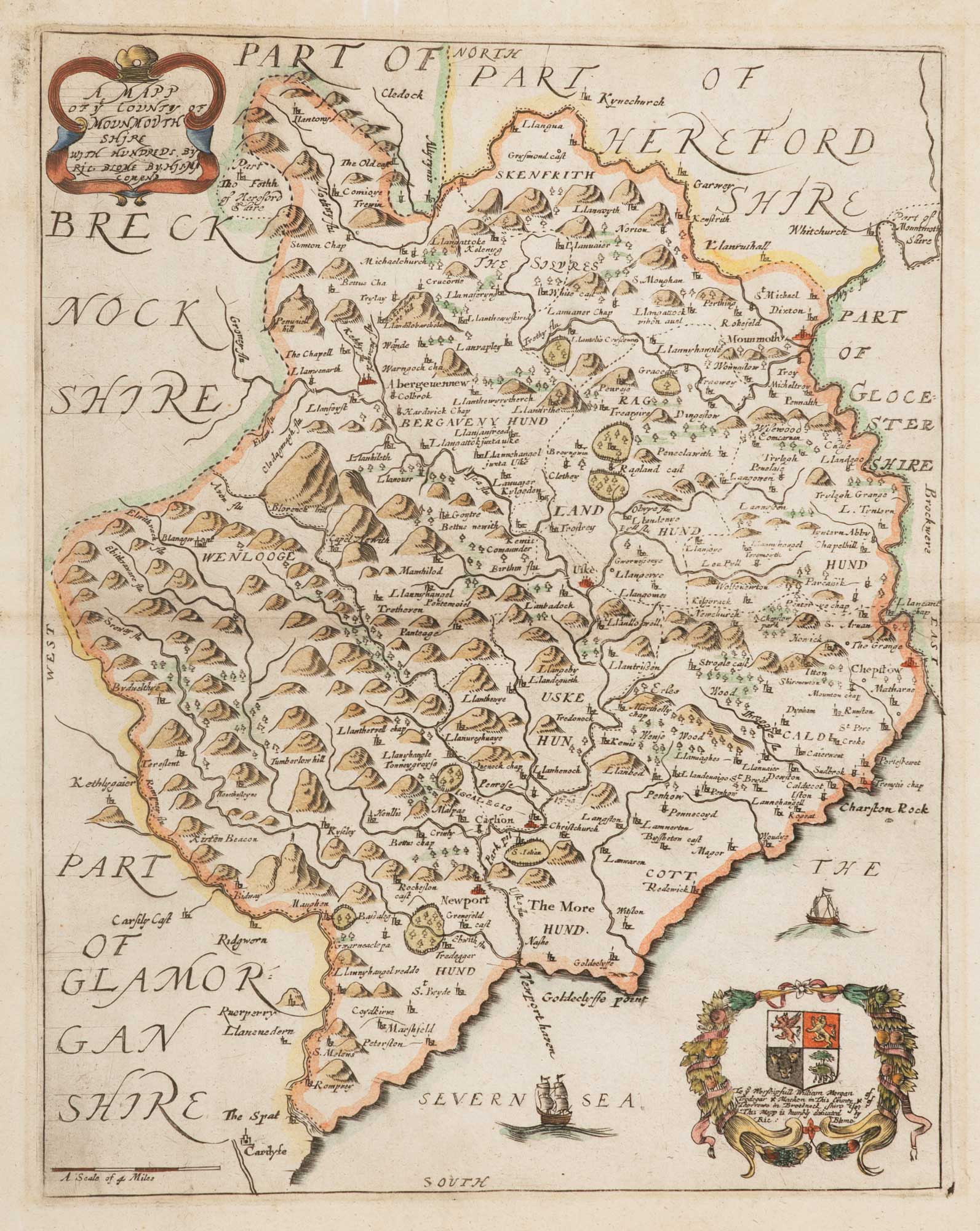


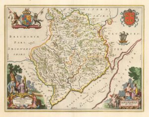
17th century map of Monmouthshire
A Map of ye County of Monmouth Shire with Hundreds..
London, c.1673. Coloured. 320 x 260mm.
£140.00
1 in stock
x
Question About This Item?
17th century map of Monmouthshire & BLOME, Richard.Stock #: 15709"*" indicates required fields
Similar to Sell?
Add to Wishlist
Add to Wishlist
Description
Published in Blome's 'Britannia', with two decorative cartouches (one with a dedication). Basing it on Speed's map, Blome, a renowned plagarist, said 'I do not own myself the Author, but the Undertaker of this work'.
Condition:
A good example.Related products
-

Miniature map of Cardiganshire, Randorshire and Brecknockshire
PERROT, Aristide Michel. Date: 1828Stock #: 23106 £75.00 -
![Map of Middlesex and Hertfordshire from Drayton's fantastical 'Poly-Olbion' - [Midle Sex; Hartford Shyre.] by DRAYTON, Michael., 1612 – Altea Gallery](data:image/svg+xml,%3Csvg%20xmlns='http://www.w3.org/2000/svg'%20viewBox='0%200%20300%20231'%3E%3C/svg%3E)
Map of Middlesex and Hertfordshire from Drayton’s fantastical ‘Poly-Olbion’
DRAYTON, Michael. Date: 1612Stock #: 14043 £400.00 -

The scarce second state of the Lhuyd-Hondius map of Wales
LHUYD, Humfrey. Date: 1638Stock #: 23841 £550.00 -

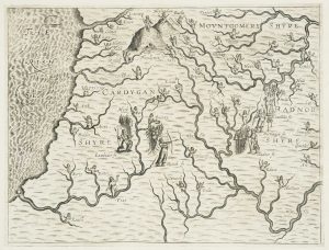
Map of the Cardiganshire, Montgomeryshire and Radnorshire from Drayton’s fantastical ‘Poly-Olbion’
DRAYTON, Michael. Date: 1612Stock #: 14049 £250.00 -

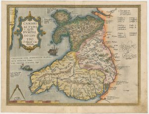
The first printed map of Wales
LHUYD, Humfrey. Date: 1573Stock #: 26573 £980.00 -
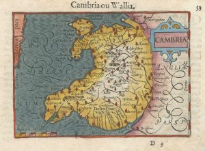
A 16th century miniature map of Wales
LANGENES, Barent. Date: 1609Stock #: 26473 £300.00 -

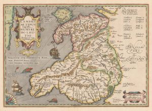
Early 17th century map of Wales
LHUYD, Humfrey. Date: 1619Stock #: 22265 £900.00 -
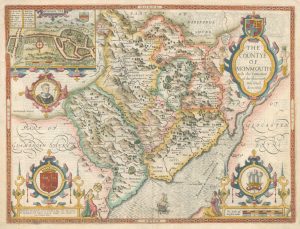
Speed’s map of Monmouthshire
SPEED, John. Date: 1646Stock #: 18229 £725.00 -

Blaeu’s map of Monmouthshire, with fine colour
BLAEU, Johannes. Date: 1662Stock #: 23039 £500.00
![Map of Middlesex and Hertfordshire from Drayton's fantastical 'Poly-Olbion' - [Midle Sex; Hartford Shyre.] by DRAYTON, Michael., 1612 – Altea Gallery](https://altea-gallery-cdn.s3.eu-west-2.amazonaws.com/wp-content/uploads/2025/05/08104243/alteashop_14043-300x231.jpg)
Items by the same author
Add to Wishlist
Add to Wishlist
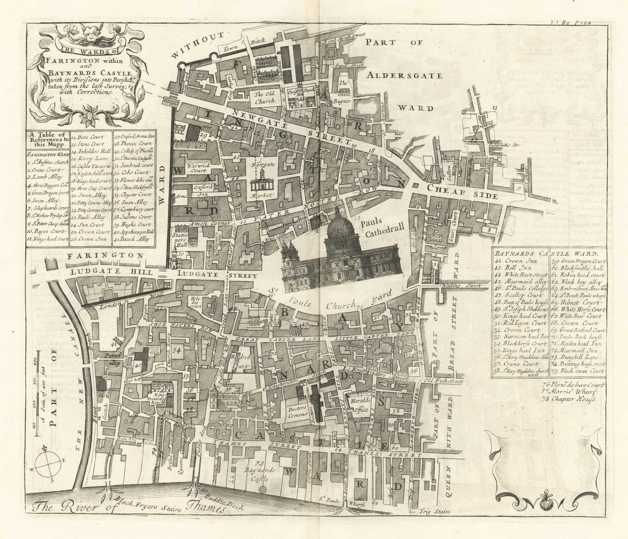
A plan of Farringdon and Baynards Castle at the end of the 17th century
BLOME, Richard. Date: 1720 Stock #: 25604 £375.00
Add to Wishlist
Add to Wishlist
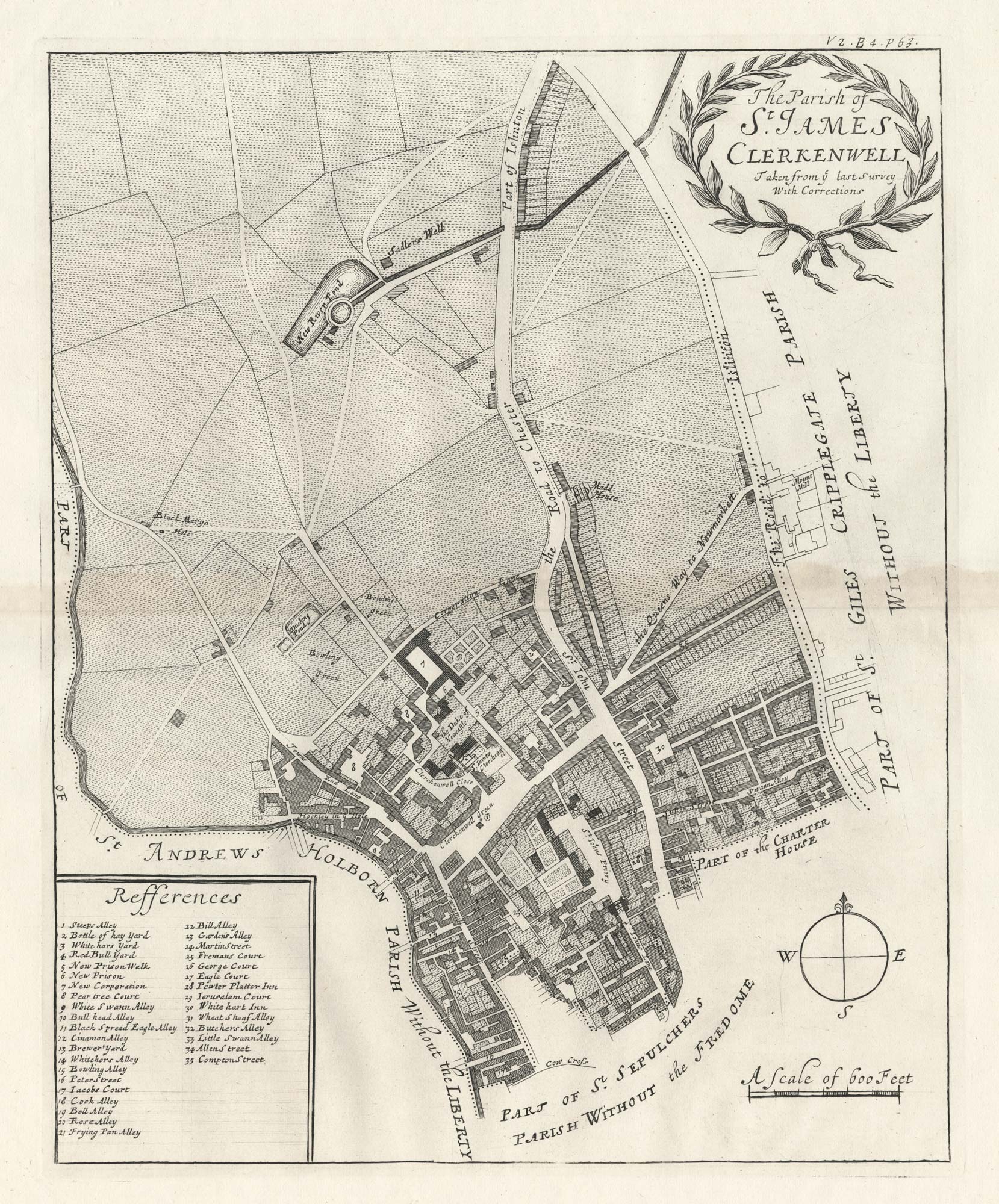
A plan of St James, Clerkenwell at the end of the 17th century
BLOME, Richard. Date: 1720 Stock #: 25563 £350.00
Add to Wishlist
Add to Wishlist
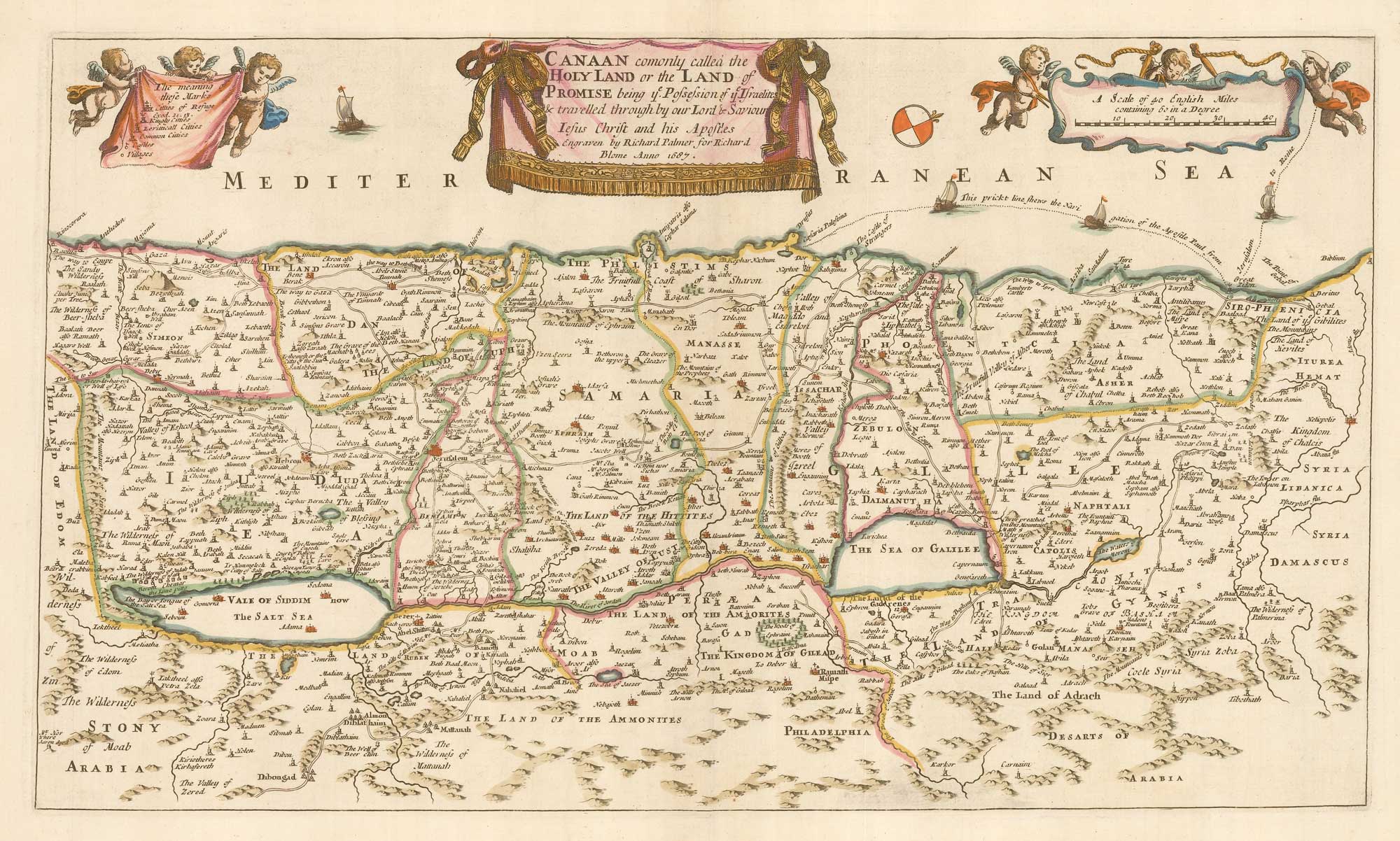
Add to Wishlist
Add to Wishlist
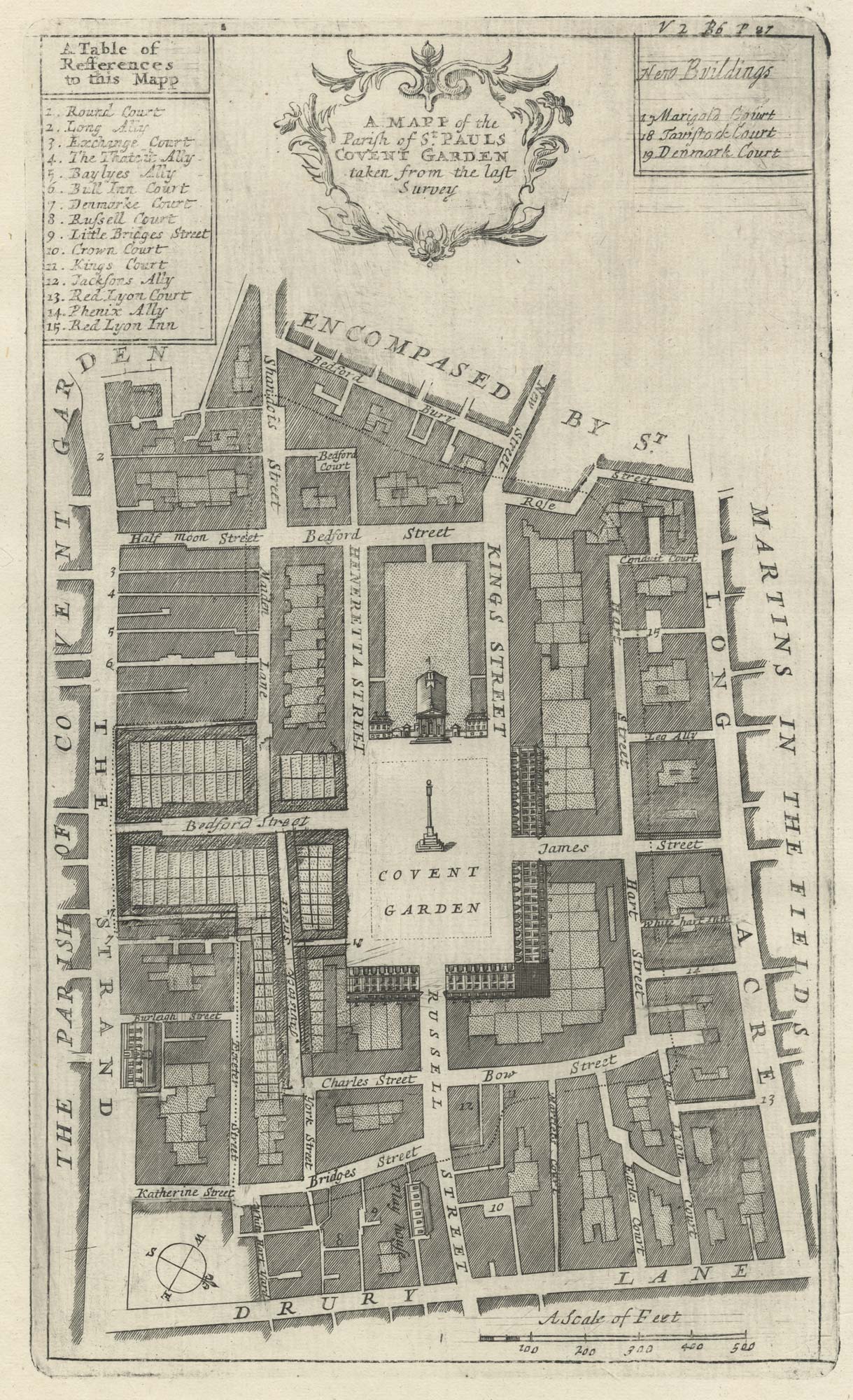
A plan of Covent Garden at the end of the 17th century
BLOME, Richard. Date: 1720 Stock #: 25170 £200.00
Add to Wishlist
Add to Wishlist
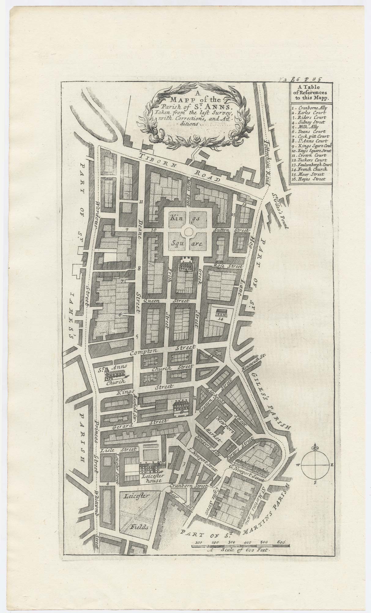
A plan of Covent Garden at the end of the 17th century
BLOME, Richard. Date: 1720 Stock #: 25282 £400.00
Add to Wishlist
Add to Wishlist