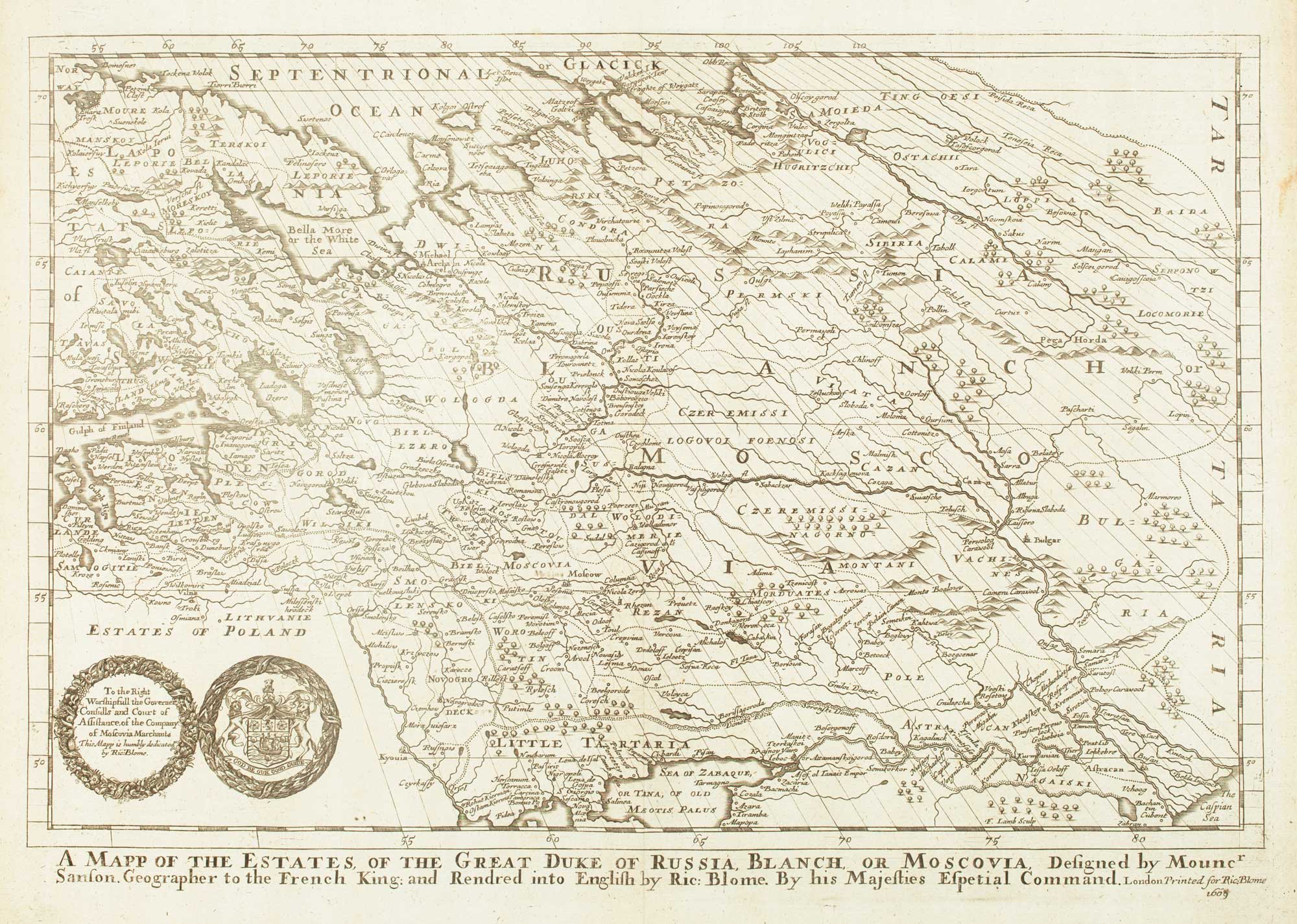
Antique Maps by BLOME, Richard.
Showing 1–9 of 9 products
Sort by:
Add to Wishlist
Add to Wishlist
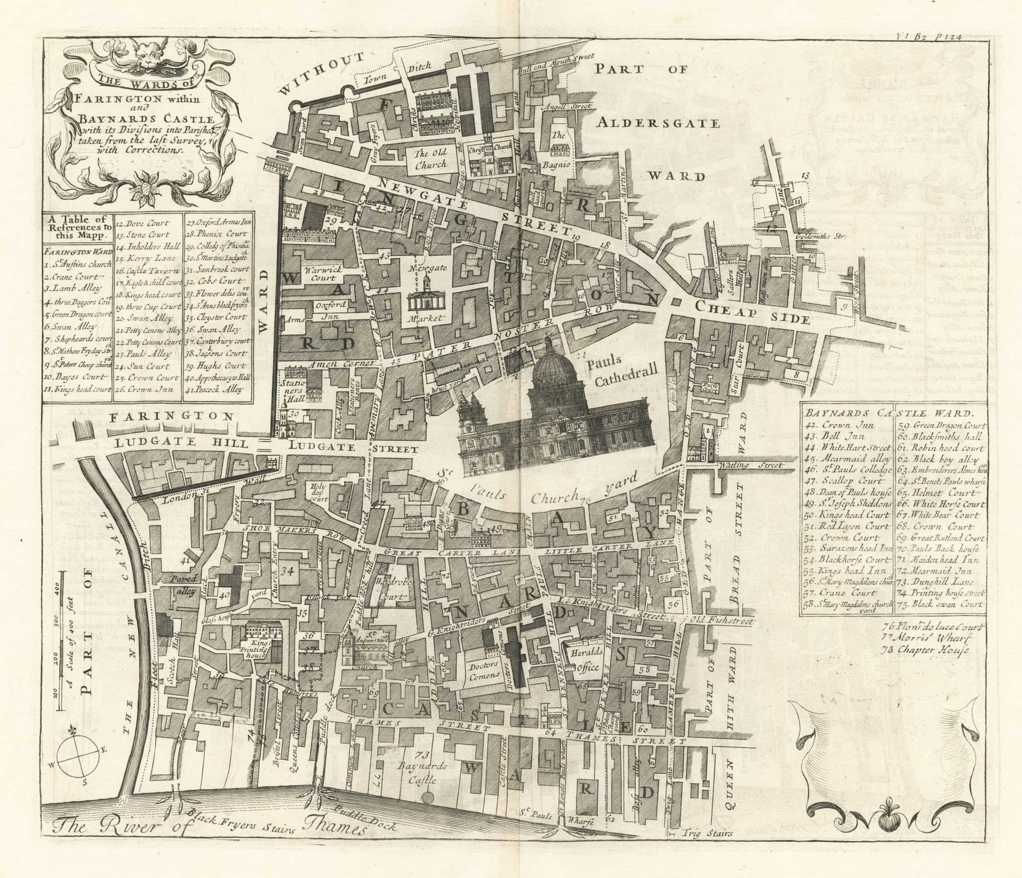
A plan of Farringdon and Baynards Castle at the end of the 17th century
BLOME, Richard. Date: 1720 Stock #: 25604 £375.00
Add to Wishlist
Add to Wishlist
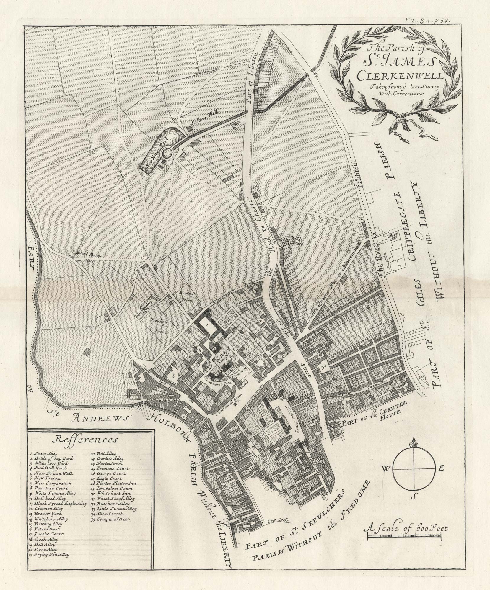
A plan of St James, Clerkenwell at the end of the 17th century
BLOME, Richard. Date: 1720 Stock #: 25563 £350.00
Add to Wishlist
Add to Wishlist
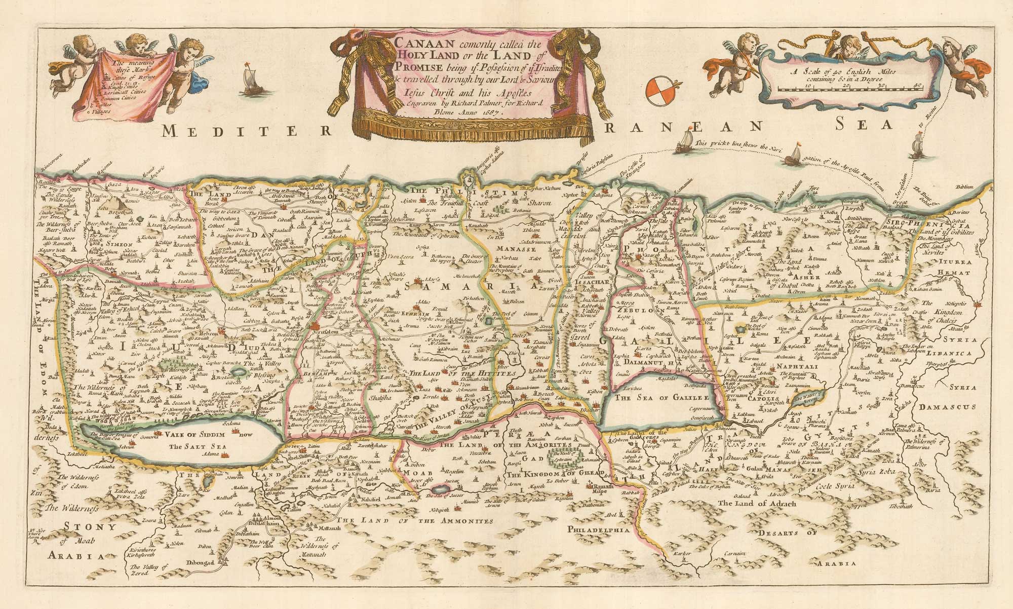
Add to Wishlist
Add to Wishlist
Add to Wishlist
Add to Wishlist
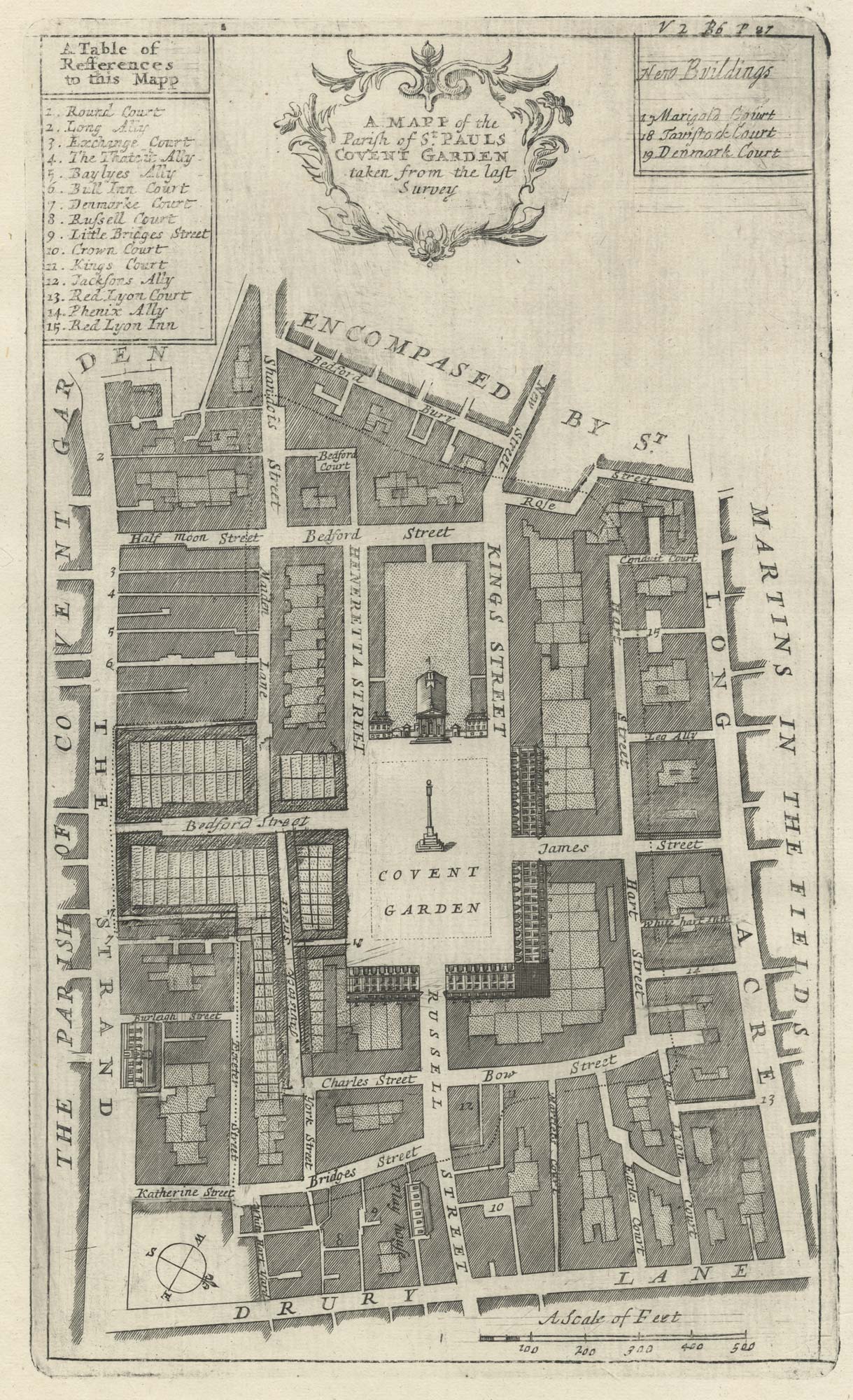
A plan of Covent Garden at the end of the 17th century
BLOME, Richard. Date: 1720 Stock #: 25170 £200.00
Add to Wishlist
Add to Wishlist
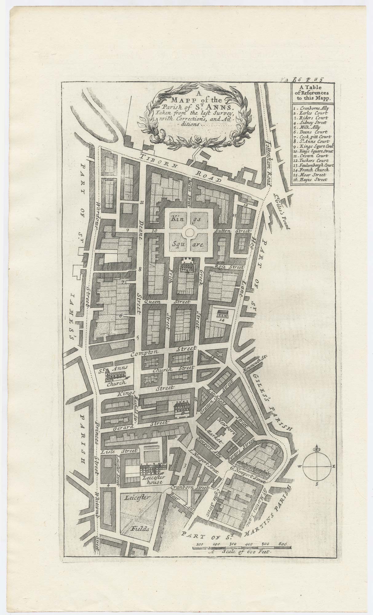
A plan of Covent Garden at the end of the 17th century
BLOME, Richard. Date: 1720 Stock #: 25282 £400.00
Add to Wishlist
Add to Wishlist
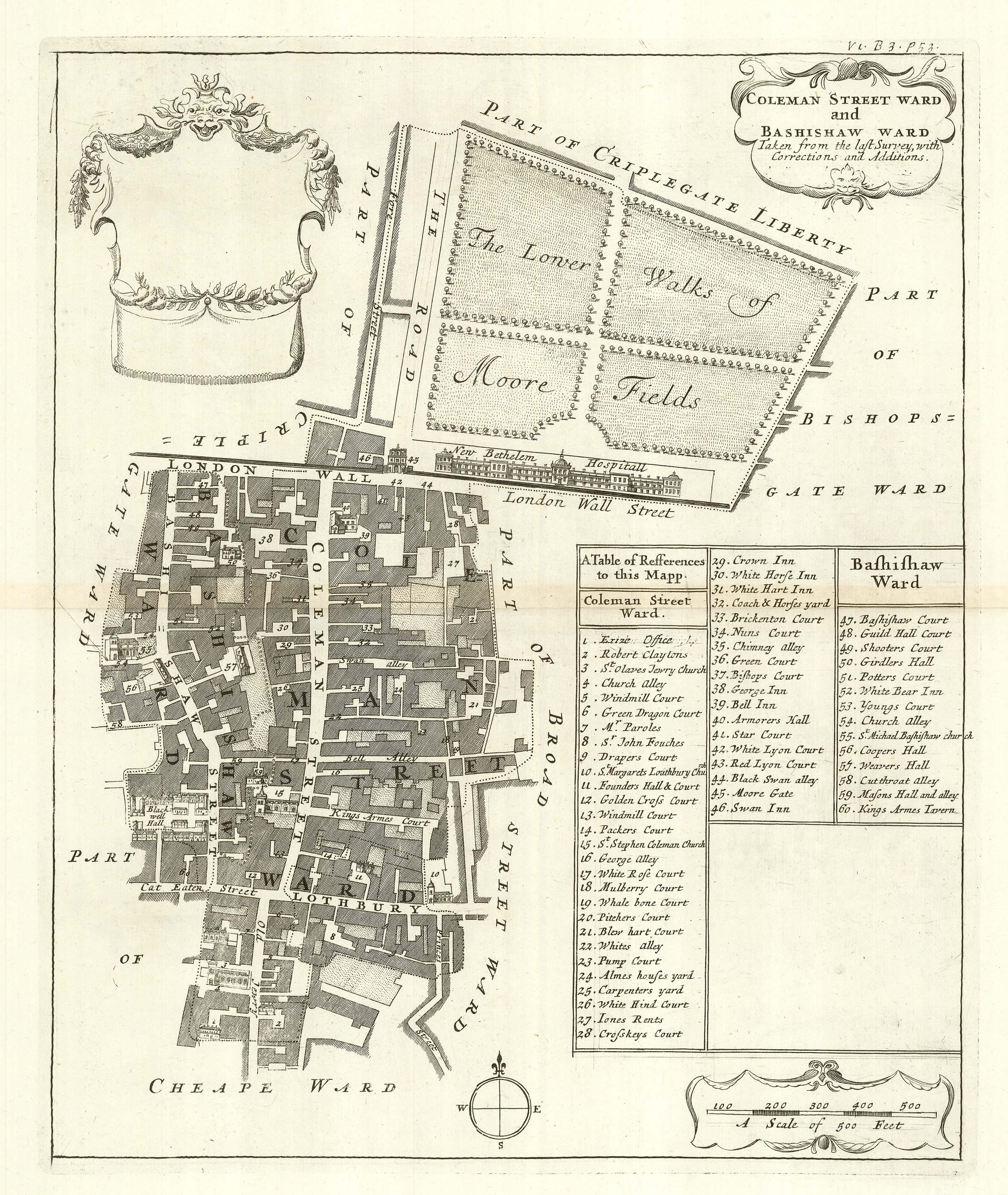
The wards of Coleman Street and Bassishaw at the end of the 17th century
BLOME, Richard. Date: 1720 Stock #: 25162 £200.00
Add to Wishlist
Add to Wishlist
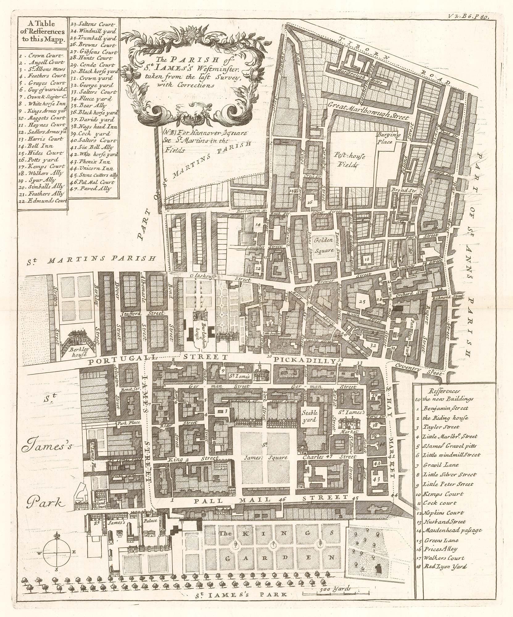
Plan of St James's Parish at the end of the 17th century
BLOME, Richard. Date: 1720 Stock #: 25160 £450.00
Add to Wishlist
Add to Wishlist