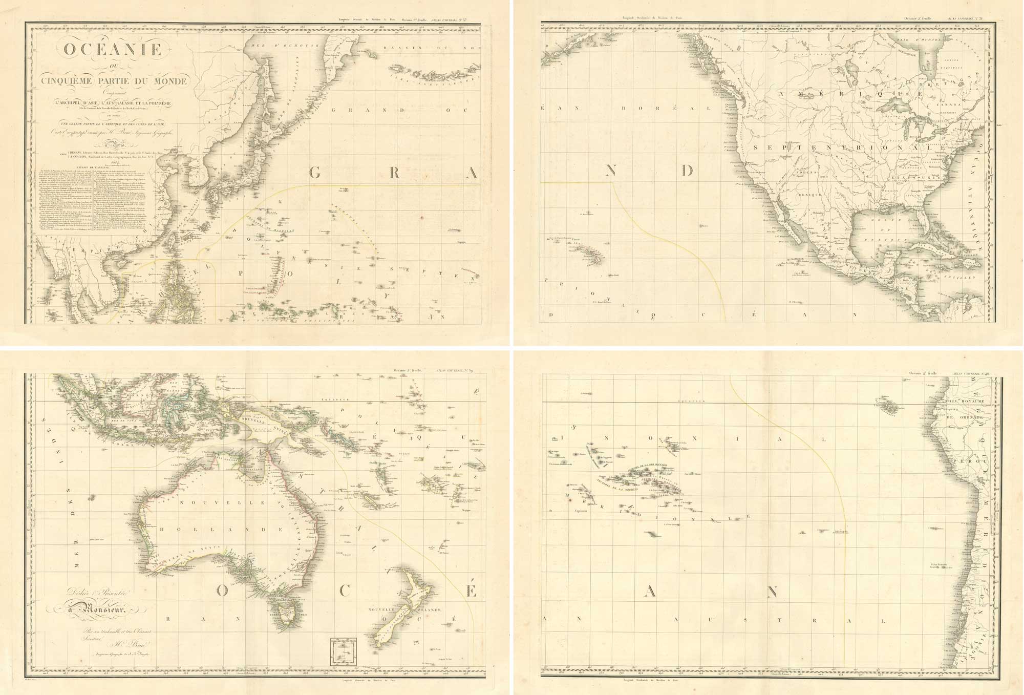


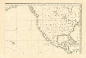
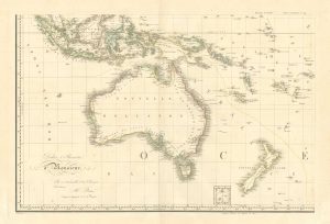
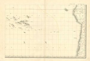
A superbly detailed four-sheet chart of the Pacific
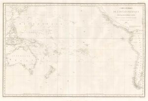
Océanie ou Cinquième Partie du Monde Comprenant l'Archipel d'Asie, l'Australasie et la Polynésie (ou le Continent de la Nouvelle-Hollande et les Îles du Grand Océan.) en outre Une Grande Partie de l'America et des Côtes de l'Asie.
Paris: Desray & Goujon, 1814-17. Original outline colour. Four sheets, each 520 x 770mm, total if joined c. 1040 x 1540mm.
£1,650.00
1 in stock
x
Question About This Item?
A superbly detailed four-sheet chart of the Pacific & BRUÉ, Adrien Hubert.Stock #: 26521"*" indicates required fields
Similar to Sell?
Add to Wishlist
Add to Wishlist
Description
A French large scale wall map of the Pacific on Mercator's Projection, showing from Indochina to Sakhalin and Kanchatka in Asia, Australia and New Zealand, most of North America and the West Indies, and the west coast of South America. The limits of the map are 55º north and south, so neither the Bering Strait nor the Tierra del Fuego are included.
Unusually Brué has listed his sources, which include Freycinet & Flinders in Australia, Arrowsmith, Dalrymple and D'Anville. Published in the 'Atlas Universel', it is one of the earliest detailed maps of the Pacific. First published in 1814, this example has been updated to 1817.
Condition:
Restoration to damp stains at edge of very wide margins.Related products
-

The first printed map of the Pacific by Ortelius
ORTELIUS, Abraham. Date: 1601Stock #: 25089 £5,500.00 -
![[Matavi Bay, Tahiti] Vue du Détroit Charlotte dans la Nouvelle by CLEVELEY, James & John., 1790.](data:image/svg+xml,%3Csvg%20xmlns='http://www.w3.org/2000/svg'%20viewBox='0%200%20300%20229'%3E%3C/svg%3E)
A French edition of Cleveley’s famous view of Matavi Bay, Tahiti
CLEVELEY, James & John. Date: 1790Stock #: 20326 £4,500.00 -

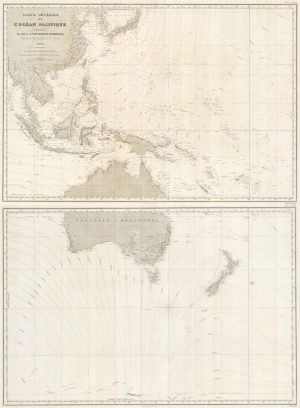
A detailed 19th century chart of the south west Pacific
VINCENDON-DUMOULIN, Clement Adrien. Date: 1874Stock #: 22088 £1,600.00 -

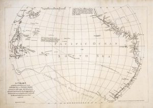
A scarce map of the Pacific
BURNEY, James. Date: 1803Stock #: 20985 £650.00 -

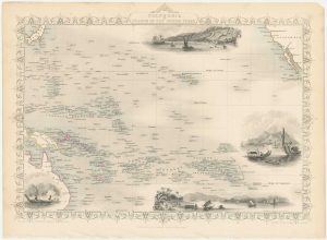
A mid-19th century map of Polynesia with decorative vignettes
TALLIS, John. Date: 1851Stock #: 26651 £125.00 -

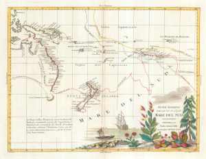
Map of Australia and New Zealand after Cook’s First Voyage to the Pacific
ZATTA, Antonio. Date: 1776Stock #: 24599 £1,000.00 -

Chart from the return voyage of a ‘First Fleet’ ship
SHORTLAND, Thomas George. Date: 1789Stock #: 21908 £120.00 -

An French sea chart of the Pacific after Dumont D’Urville
Dépôt des Cartes et Plans de la Marine. Date: 1834Stock #: 18866 £450.00 -

A German edition of Cook’s chart of the South Pacific
COOK, James. Date: 1775Stock #: 20470 £450.00
![[Matavi Bay, Tahiti] Vue du Détroit Charlotte dans la Nouvelle by CLEVELEY, James & John., 1790.](https://altea-gallery-cdn.s3.eu-west-2.amazonaws.com/wp-content/uploads/2025/05/10123734/alteashop_20326-300x229.jpg)
Items by the same author
Add to Wishlist
Add to Wishlist