
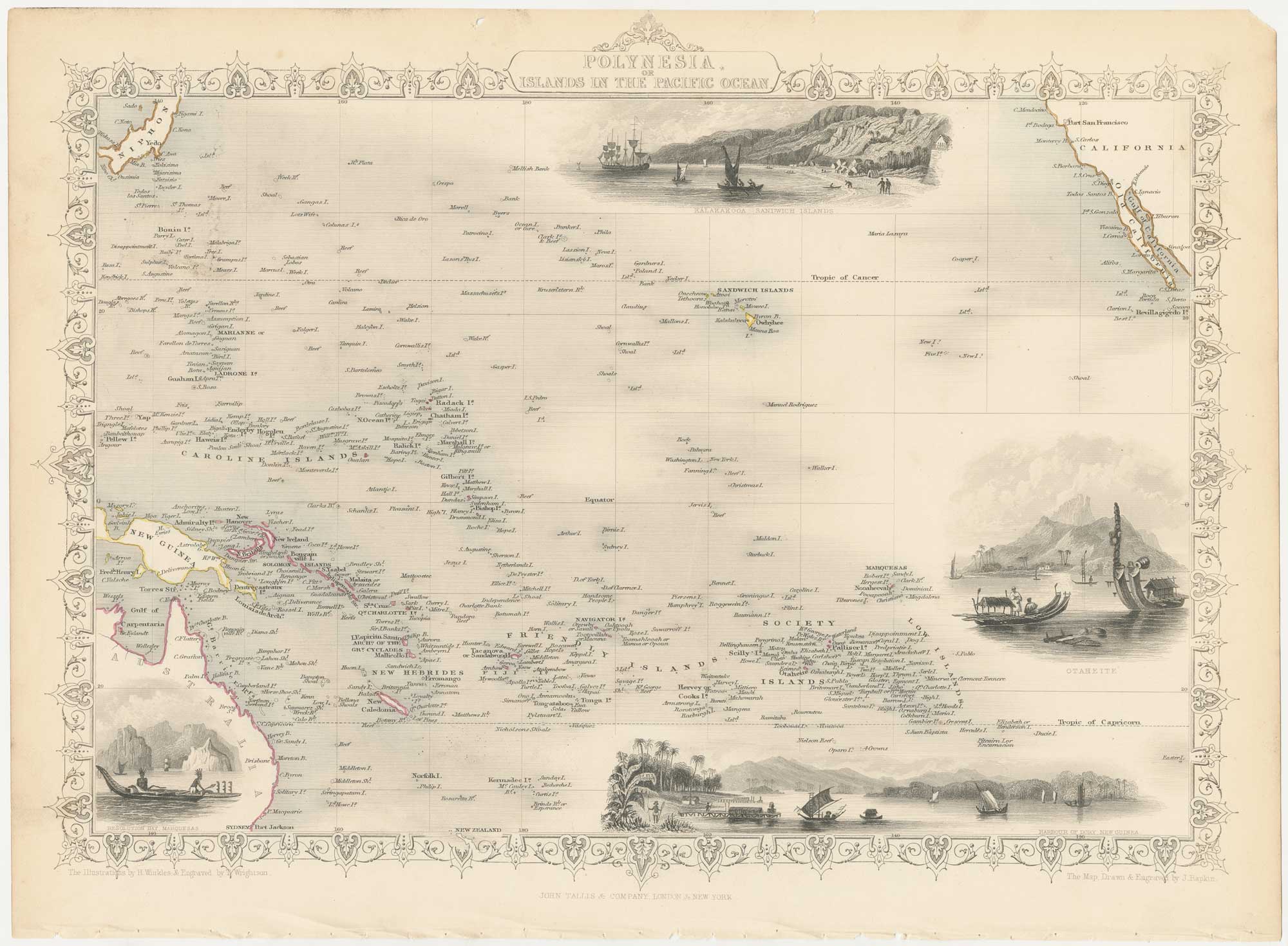


A mid-19th century map of Polynesia with decorative vignettes
Polynesia or Islands in the Pacific Ocean.
London, John Tallis & Co., c.1851. Original outline colour. Steel engraving, sheet 270 x 370mm.
£125.00
1 in stock
x
Question About This Item?
A mid-19th century map of Polynesia with decorative vignettes & TALLIS, John.Stock #: 26651"*" indicates required fields
Similar to Sell?
Add to Wishlist
Add to Wishlist
Description
A detailed map of the central Pacific, with Australia bottom left, Japan top left and California to right, marking the Sandwich Islands (Hawaii), Hew Hebrides, Friendly Islands (Tonga), the Mariannes, Caroline Islands and Fiji. The vignettes are Kealakekua Bay on Hawaii, Resolution Bay in the Marquesas, Dory on New Guina and Tahiti.
The map was drawn and engraved by John Rapkin for the 'The Illustrated Atlas, and Modern History of the World, Geographical Political, Commercial & Statistical', edited by Montgomery Martin, which was one of the last decorative atlases to be published.
Condition:
A good example.Related products
-

A superbly detailed four-sheet chart of the Pacific
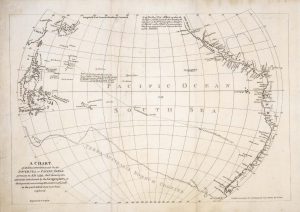
BRUÉ, Adrien Hubert. Date: 1817Stock #: 26521 £1,650.00 -

A scarce two-sheet map of the Pacific
MORTIER, Pierre. Date: 1700Stock #: 25056 £3,650.00 -

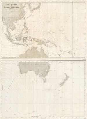
An French sea chart of the Pacific after Dumont D’Urville
Dépôt des Cartes et Plans de la Marine. Date: 1834Stock #: 18866 £450.00 -

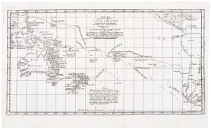
A German edition of Cook’s chart of the South Pacific
COOK, James. Date: 1775Stock #: 20470 £450.00 -

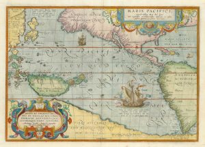
The first printed map of the Pacific by Ortelius
ORTELIUS, Abraham. Date: 1601Stock #: 25089 £5,500.00 -

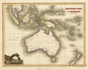
Australia & East India Islands
WYLD, James. Date: 1819Stock #: 22020 £160.00 -

A detailed 19th century chart of the south west Pacific
VINCENDON-DUMOULIN, Clement Adrien. Date: 1874Stock #: 22088 £1,600.00 -

A scarce map of the Pacific
BURNEY, James. Date: 1803Stock #: 20985 £650.00 -

Chart from the return voyage of a ‘First Fleet’ ship
SHORTLAND, Thomas George. Date: 1789Stock #: 21908 £120.00
Items by the same author
Add to Wishlist
Add to Wishlist

A mid-19th century map of France with vignette scenes
TALLIS, John. Date: 1851 Stock #: 21630 £110.00
Add to Wishlist
Add to Wishlist
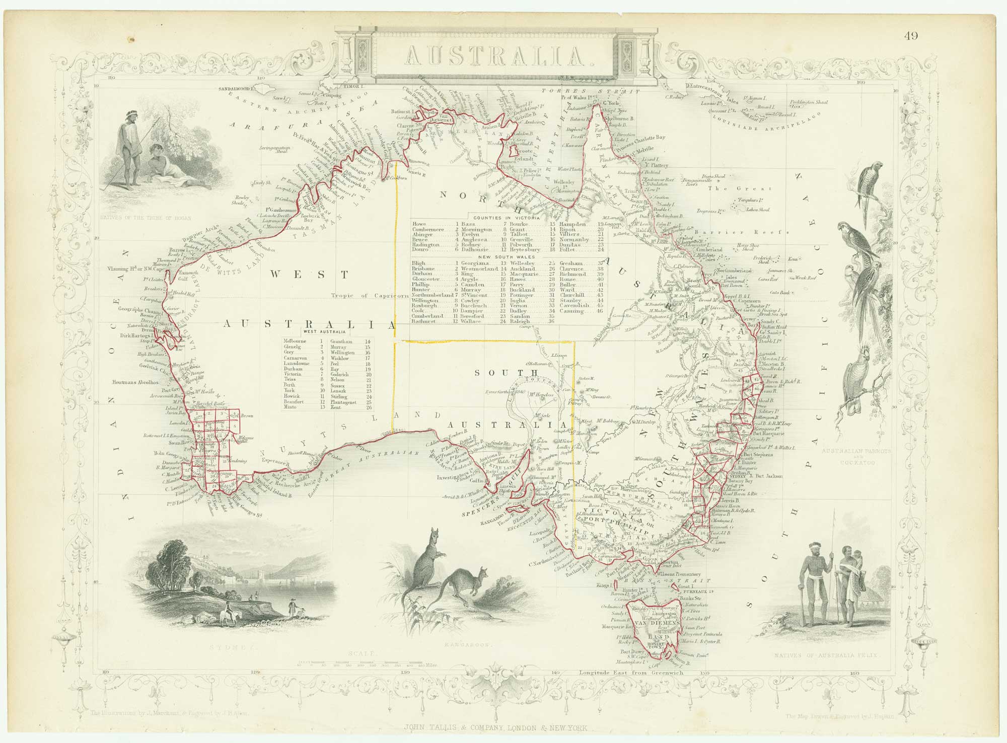
Mid 19th century map of Australia with decorative vignettes
TALLIS, John. Date: 1851 Stock #: 26649 £325.00
Add to Wishlist
Add to Wishlist
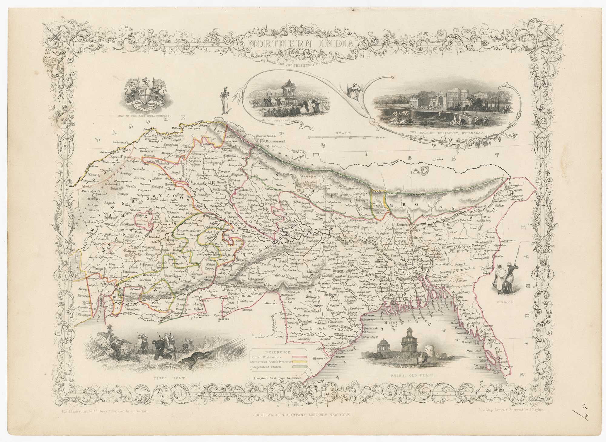
Mid-19th century map of Northern India with decorative vignettes
TALLIS, John. Date: 1851 Stock #: 21794 £190.00
Add to Wishlist
Add to Wishlist

A chart comparing the geographic features of the Western Hemisphere
TALLIS, John. Date: 1851 Stock #: 26617 £120.00
Add to Wishlist
Add to Wishlist
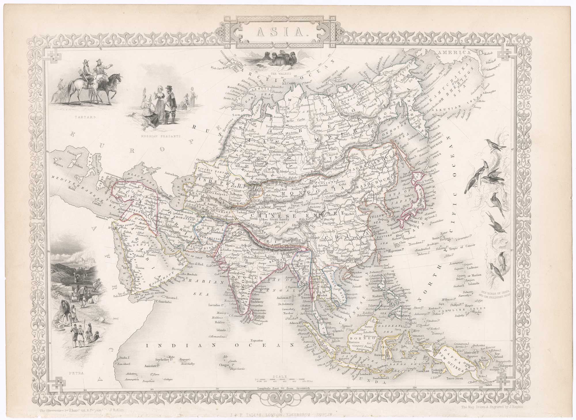
Mid-19th century map of Asia with decorative vignettes
TALLIS, John. Date: 1851 Stock #: 23536 £185.00
Add to Wishlist
Add to Wishlist
