

One of the most important early maps of Canada and the Great Lakes
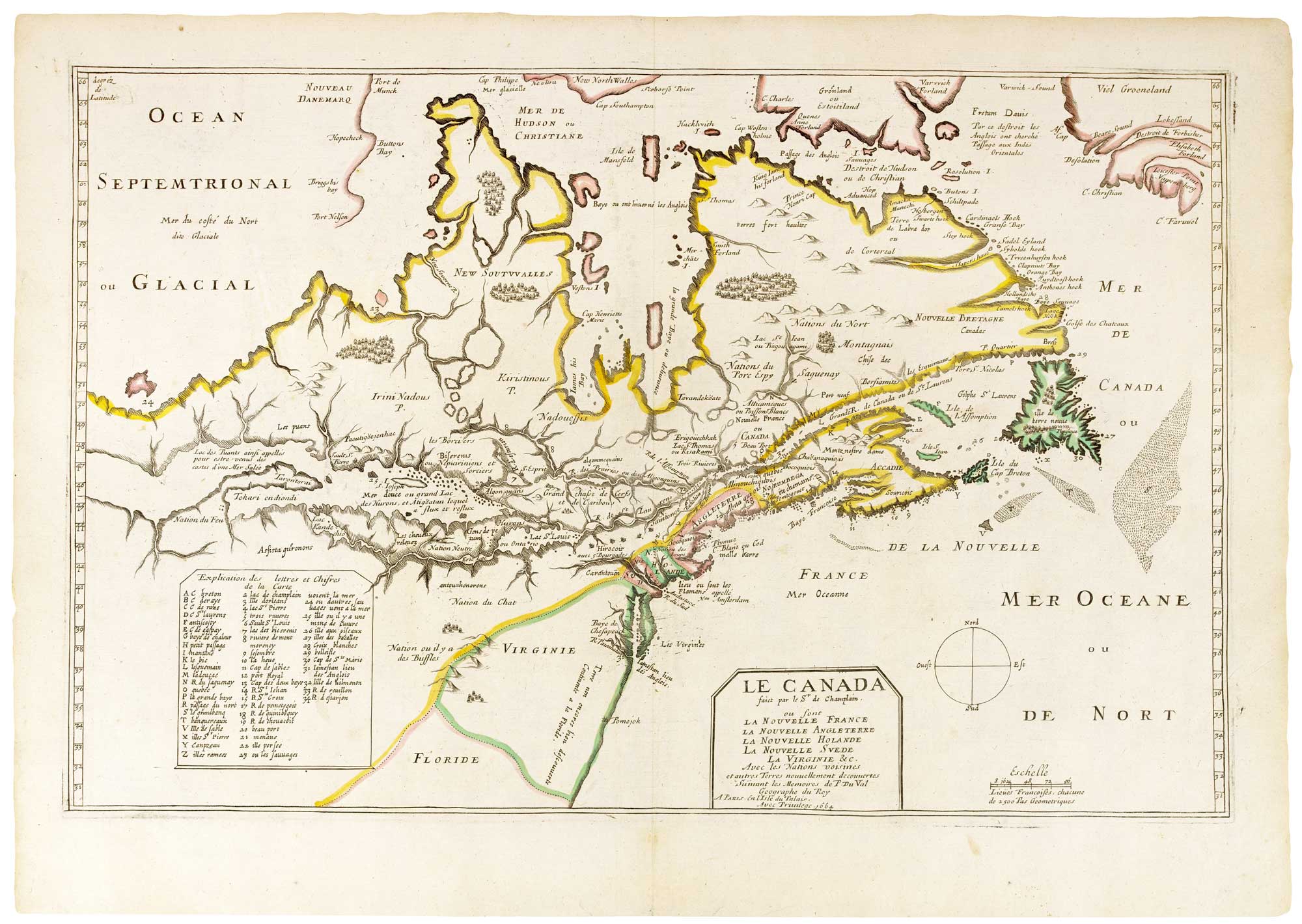
Le Canada faict par Sr. de Champlain, ou sont La Nouvelle France, La Nouvelle Angleterre, La Nouvelle Suede, La Virginie &c. Avec les Nations voisins et autres Terres nouvellement decouvertes.
Paris: Pierre du Val, 1664. Original colour. 355 x 455mm.
x
Question About This Item?
One of the most important early maps of Canada and the Great Lakes & CHAMPLAIN, Samuel de.Stock #: 26342"*" indicates required fields
Similar to Sell?
Description
A rare map of Canada showing the discoveries of Samuel de Champlain, engraved in 1616 during his return to France but first published half-a-century later after Pierre du Val acquired the plate. The attribution to Champlain was only possible after the John Carter Brown Library acquired a unique example of the original state in 1953. Dated 1616 and unfinished, it is believed to be the work of Gabriel Tavernier (father of Melchoir), engraved either for Champlain's 'Voyage et descouvertes faites en la Nouvelle France', published 1619, or a more secretive report for the government. Why is seems to be unpublished is a mystery: even the John Carter Brown example is a du Val printing when he was planning his alterations.
The map shows from Hudson Bay and Greenland south to Chesapeake Bay, with the St Lawrence west to a suggestion of the entrance to Lake Superior, with a 34-point key. For his first published state of 1653, du Val made many additions, with new coastlines in the Arctic (including the fictitious 'Frobisher Strait' in Greenland) and adding names, for example 'N. Plymue' (New Plymouth).
Condition:
A very fine exampleReferences:
BURDEN: 309, state 4 of 6, 'all are rare'; see 188 for the 'proof'.Related products
-

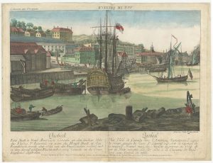
An 18th century ‘vue d’optique’ of Quebec
LEIZELT, Balthasar Frederick. Date: 1775Stock #: 24523 £750.00 -
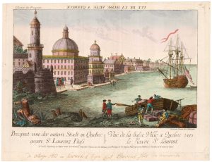
A scarce optical view of Quebec
HABERMANN, Franz Xaver. Date: 1760Stock #: 25675 £420.00 -

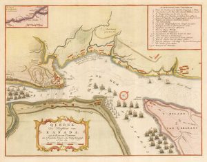
The British attack on Quebec during the Seven Years’ War
TIRION, Isaak. Date: 1760Stock #: 26057 £350.00 -

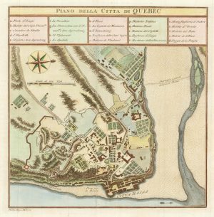
An 18th century Italian plan of Quebec
GAZZETTIERE AMERICANO. Date: 1763Stock #: 22467 £250.00 -
18th century map of Hudson Bay
ZATTA, Antonio. Date: 1778Stock #: 19023 £220.00 -

A French edition of an important map of the St Lawrence valley
CARVER, Jonathan. Date: 1777Stock #: 23477 £1,600.00 -
Scarce Italian map of Alaska and the Northwest Coast of America & Asia
MEARES, John. Date: 1795Stock #: 25714 £600.00 -

A detailed 18th century plan of the St Lawrence River
HARRISON, John. Date: 1784Stock #: 22812 £420.00 -

An early English chart of northern Canada with Hudson Bay
THORNTON, John. Date: 1748Stock #: 15550 £300.00