
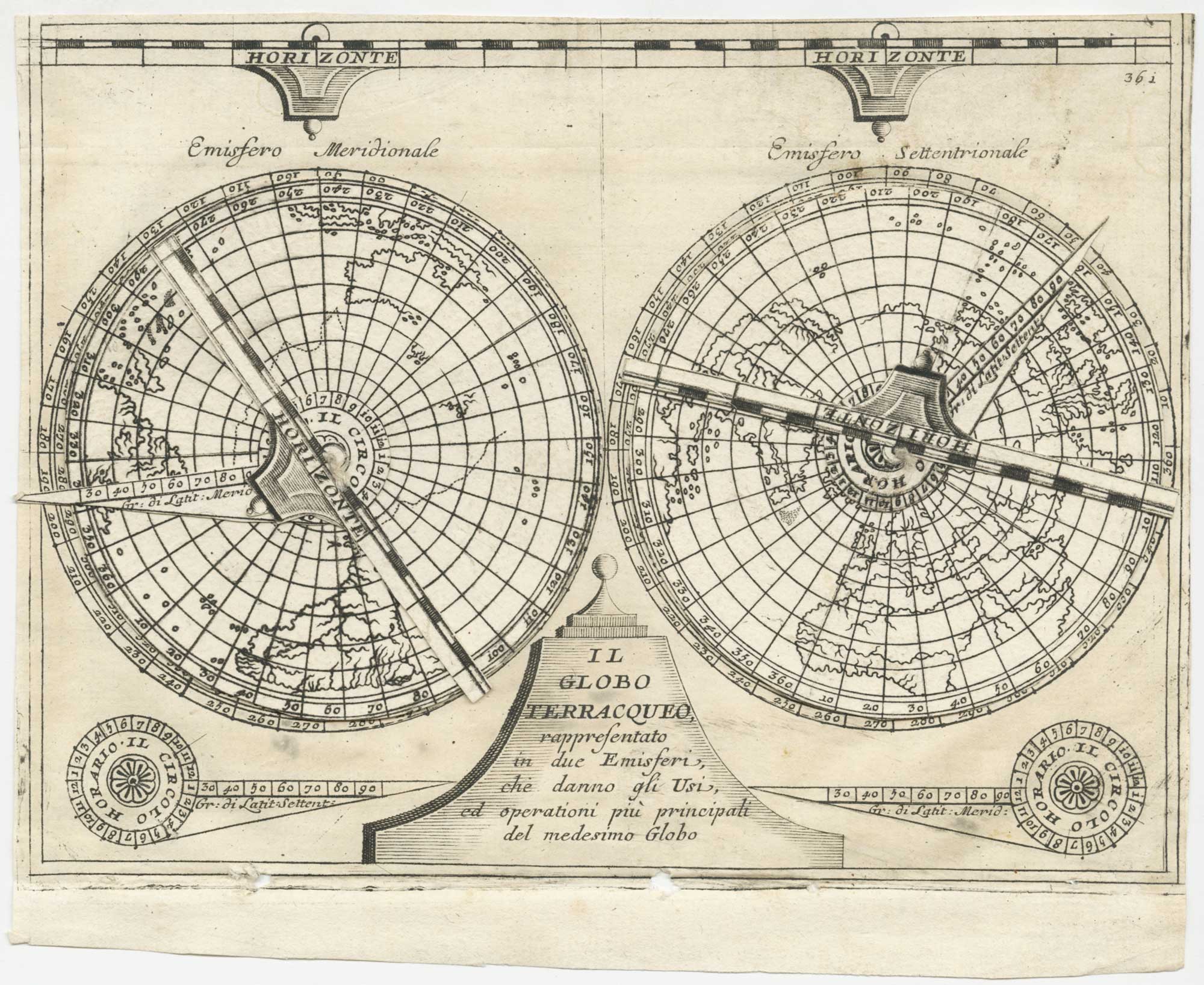


A 17th century double-hemisphere world map as a volvelle
Il Globo Terracqueo, rappresentato in due Emisferi, che danno gli Usi, ed operatoni più principali del medismo Globo.
Venice, 1693. Sheet 125 x 175mm, with two volvelles, each with a disk and two arms, attached with string as issued.
£500.00
1 in stock
x
Question About This Item?
A 17th century double-hemisphere world map as a volvelle & CORONELLI, Vincenzo Maria.Stock #: 26353"*" indicates required fields
Similar to Sell?
Add to Wishlist
Add to Wishlist
Description
A sketch map of the world in two hemispheres on a polar projection, each overlaid with a rotating map disk and one arm for showing longitude and latitude and another for the horizon. In the Northern Hemisphere California is depicted as an island. Under the spheres are the title on a pedestal and two more pointers.
It was published in Coronelli's ''Epitome Cosmografica, o Compendiosa Introduttione all'Astronomia, Geografia, & Idrografia'', a guide to Astronomy, geography and hydrography, and the use of globes, astrolabes and maps.
Condition:
Binding stitch holes in bottom printed border.References:
SHIRLEY: World 558.Related products
-

A 17th century illustration of an armillary sphere
MALLET, Alain Manesson. Date: 1683Stock #: 23928 £180.00 -

Armillary Sphere & World print
WEIGEL, Christoph. Date: 1729Stock #: 25530 £180.00 -

18th century illustration of a sundial
THOMAS, Corbinianus. Date: 1730Stock #: 21490 £160.00 -

18th century illustration of a celestial globe in fine colour
THOMAS, Corbinianus. Date: 1730Stock #: 21475 £300.00 -

18th century illustration of an armillary sphere
THOMAS, Corbinianus. Date: 1730Stock #: 21477 £300.00 -

An 18th century illustration of an armillary sphere
DESNOS, Louis Charles. Date: 1781Stock #: 23289 £950.00 -
![[A compass.] by THOMAS, Corbinianus., 1730.](data:image/svg+xml,%3Csvg%20xmlns='http://www.w3.org/2000/svg'%20viewBox='0%200%20300%20295'%3E%3C/svg%3E)
An 18th century illustration of a compass in fine colour
THOMAS, Corbinianus. Date: 1730Stock #: 21473 £240.00
![[A compass.] by THOMAS, Corbinianus., 1730.](https://altea-gallery-cdn.s3.eu-west-2.amazonaws.com/wp-content/uploads/2025/05/10125551/alteashop_21473-300x295.jpg)
Items by the same author
Add to Wishlist
Add to Wishlist

The first volume of Coronelli's magnificent 'Isolario'
CORONELLI, Vincenzo Maria. Date: 1697 Stock #: 26411 £35,000.00
Add to Wishlist
Add to Wishlist
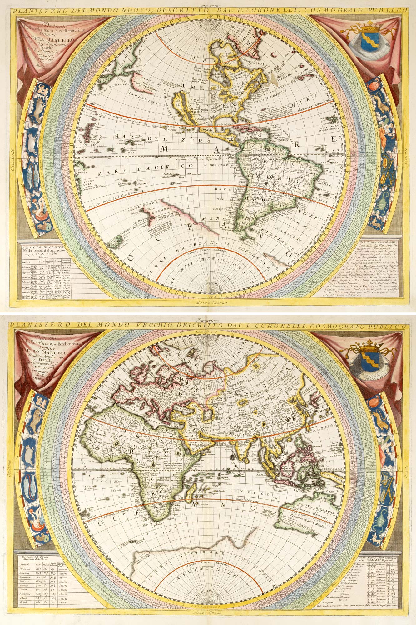
Beautiful pair of 17th century world hemispheres in Coronelli's unique style
CORONELLI, Vincenzo Maria. Date: 1690 Stock #: 26348 £6,000.00
Add to Wishlist
Add to Wishlist
Add to Wishlist
Add to Wishlist

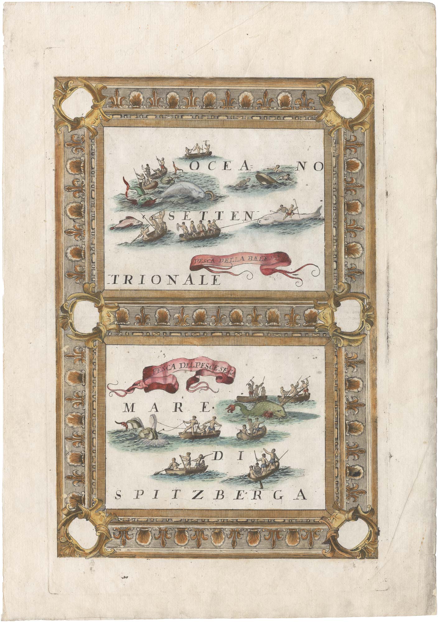
An atlas frontispiece celebrating Venetian sea power
CORONELLI, Vincenzo Maria. Date: 1695 Stock #: 26093 £270.00
Add to Wishlist
Add to Wishlist
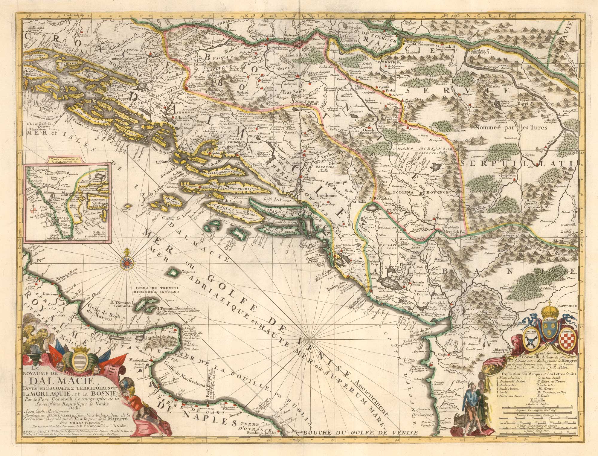
Scarce Nolin issue of Coronelli's map of the Balkan coastline
CORONELLI, Vincenzo Maria. Date: 1689 Stock #: 25864 £900.00
Add to Wishlist
Add to Wishlist
![[Untitled Near East gore sheet]. by CORONELLI, Vincenzo Maria., 1690.](https://altea-gallery-cdn.s3.eu-west-2.amazonaws.com/wp-content/uploads/2025/09/27113030/alteashop_25892.jpg)