

A rare 17th century map of the Far East & Australia
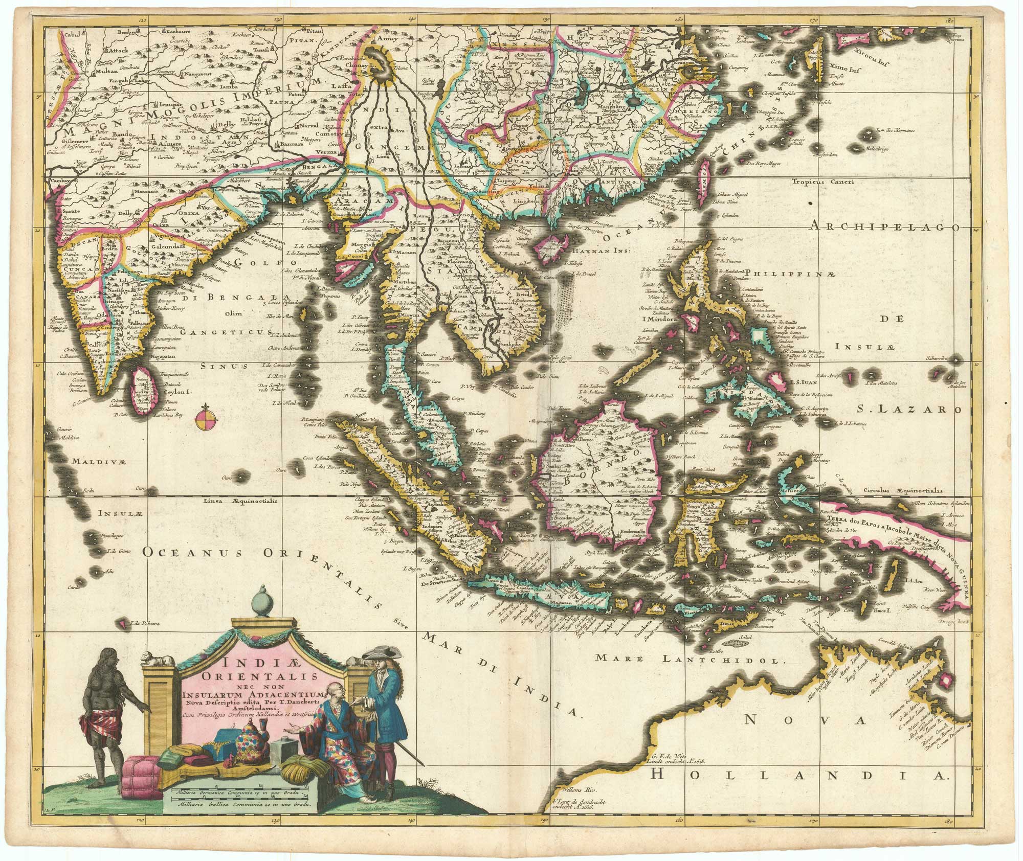
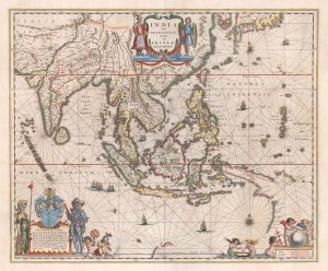
Indiae Orientalis nec non Insularum Adiacentium Nova Descriptio.
Amsterdam, c.1690. Fine original colour. 505 x 580mm.
£1,900.00
1 in stock
x
Question About This Item?
A rare 17th century map of the Far East & Australia & DANCKERTS, Theodore.Stock #: 26656"*" indicates required fields
Similar to Sell?
Add to Wishlist
Add to Wishlist
Description
A decorative chart of the Far East, showing from Cambay in India to the southern islands of Japan, with the Philippines, Indonesia and the northern coasts of Australia. The title cartouche features a European trading with a Chinese. Of interest is the mythical Chimay, a huge lake that was the supposed source of major rivers including the Brahmaputra, Irrawaddy, Salween and Chao Phraya. Australia is named Nova Hollandia, featuring twenty place names on the northwest coast of Australia, including the landing places of the Eendracht in 1616 and of G.F. de Wits in 1628
Condition:
Narrow top margin.Related products
-

A late-17th century map of the Far East
WINTER, Antony van. Date: 1696Stock #: 23262 £850.00 -

A mid-19th century map of the East Indies
WEILAND, Carl Ferdinand. Date: 1847Stock #: 21922 £240.00 -

17th century map of the East Indies
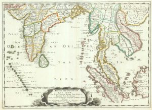
SANSON, Nicolas. Date: 1658Stock #: 19813 £650.00 -

Early 18th century map of South East Asia
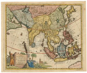
AA, Pieter van der. Date: 1719Stock #: 21650 £400.00 -

17th century miniature map of the East Indies
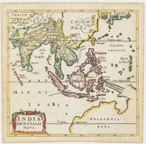
CLUVER, Philip. Date: 1659Stock #: 18843 £650.00 -

Illustrations of the flora and fauna of the East-Indies
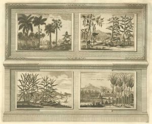
AA, Pieter van der. Date: 1725Stock #: 20089 £200.00 -

A 16th century map of the Far East
DE JODE, Gerard. Date: 1578Stock #: 26549 £6,000.00 -

A 17th century map of the trading empire of the Dutch East India Company
BLAEU, Willem Janszoon. Date: 1650Stock #: 22918 £1,650.00 -
![[Untitled map of the East Indies.] by RENNEVILLE, René Auguste Constantin., 1725.](data:image/svg+xml,%3Csvg%20xmlns='http://www.w3.org/2000/svg'%20viewBox='0%200%20300%20221'%3E%3C/svg%3E)
Rare map of the interests of the V.O.C. in the East Indies
RENNEVILLE, René Auguste Constantin. Date: 1725Stock #: 22933 £1,650.00
![[Untitled map of the East Indies.] by RENNEVILLE, René Auguste Constantin., 1725.](https://altea-gallery-cdn.s3.eu-west-2.amazonaws.com/wp-content/uploads/2025/05/13151058/alteashop_22933-300x221.jpg)
Items by the same author
Add to Wishlist
Add to Wishlist