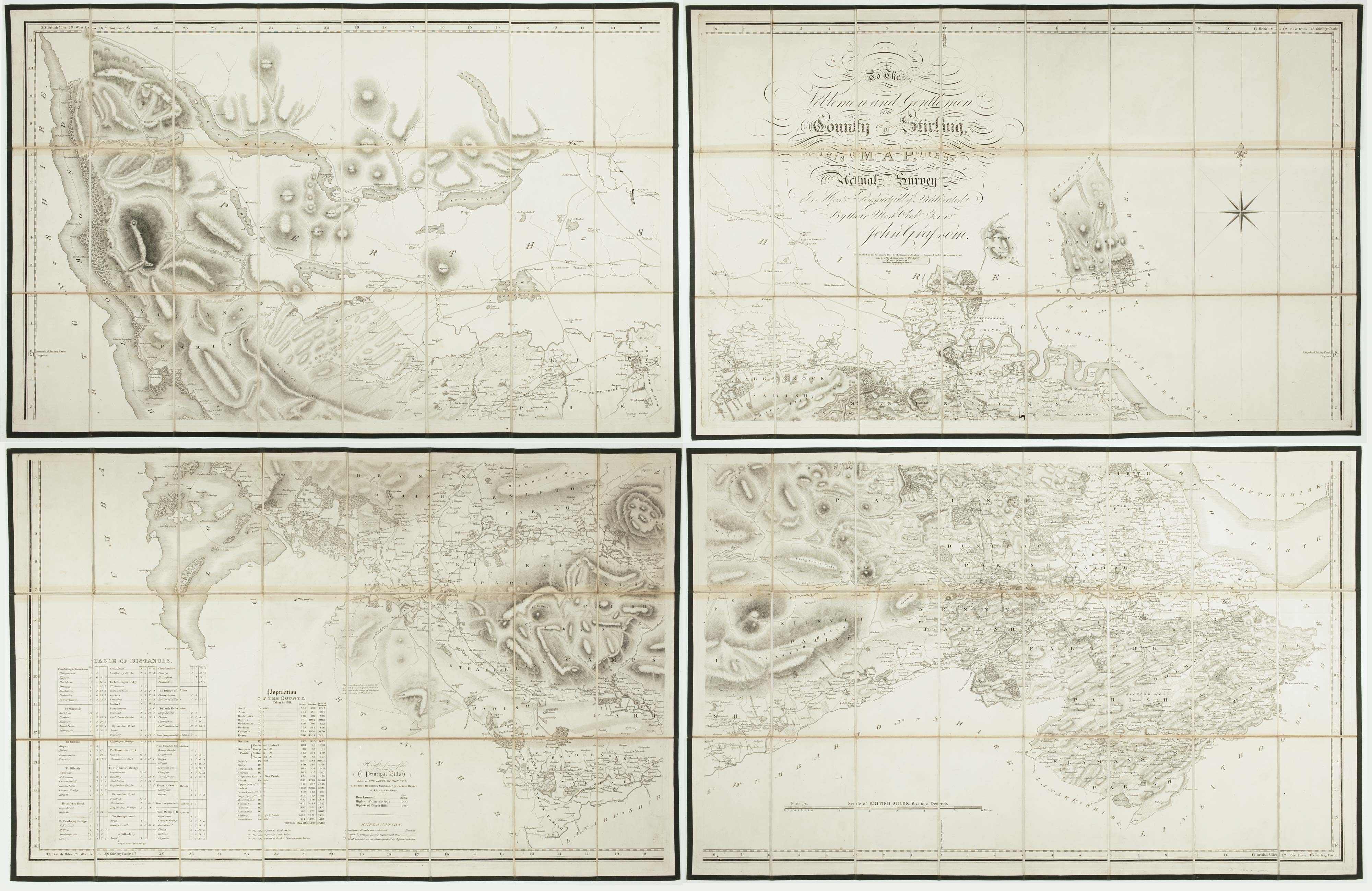


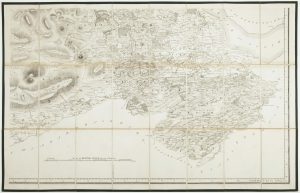
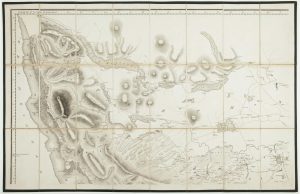
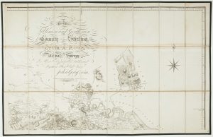

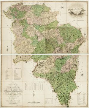
A four-sheet map of Georgian Stirlingshire
To the Noblemen and Gentlemen of the County of Stirling, this Map from Actual Survey, is Most Respectfully Dedicated...
Stirling: Grassom, 1817. Folding map, dissected and laid on linen in four sections, edged with green silk, total if joined 1180 x 1820mm, in slipcase with James Wyld's label.
£1,500.00
1 in stock
x
Question About This Item?
A four-sheet map of Georgian Stirlingshire & GRASSOM, John.Stock #: 22658"*" indicates required fields
Similar to Sell?
Add to Wishlist
Add to Wishlist
Description
A scarce large-scale map of Stirlingshire, on a scale of 1½ inches to a mile, engraved by J. & G. Menzies. Grassom, a local surveyor, also surveyed the town of Stirling. His plan appeared on John Thomson's map of the county, the accuracy of which Grassom also 'attested'.
Condition:
Some slight discolouration at folds, slipcase scuffed.Related products
-

Miniature map of Perthshire and Kinross
PERROT, Aristide Michel. Date: 1828Stock #: 23111 £90.00 -

A two-sheet map of Lanarkshire in fine original colour
FORREST, William. Date: 1818Stock #: 22668 £2,000.00 -

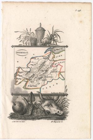
Miniature map of Invernessshire
PERROT, Aristide Michel. Date: 1828Stock #: 23114 £95.00 -

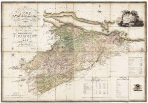
A Georgian folding map of Linlithgowshire
FORREST, William. Date: 1818Stock #: 22680 £800.00 -

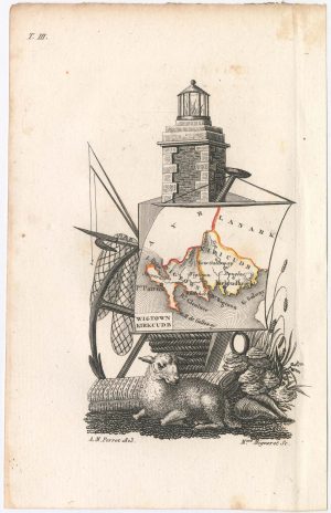
Miniature map of Wigtown and Kirkcudbrightshire
PERROT, Aristide Michel. Date: 1828Stock #: 23117 £90.00 -
![Sea chart of the Firth of Forth from the first English sea-atlas - [The Firth of Forth.] To the Right Hon.ble James Earle of Perth Lord Chancellor of the Kingdom of Scotland by COLLINS, Greenvile., 1750 – Altea Gallery](data:image/svg+xml,%3Csvg%20xmlns='http://www.w3.org/2000/svg'%20viewBox='0%200%20300%20243'%3E%3C/svg%3E)
Sea chart of the Firth of Forth from the first English sea-atlas
COLLINS, Greenvile. Date: 1750Stock #: 14900 £480.00 -

Miniature map of Stirlingshireshire
PERROT, Aristide Michel. Date: 1828Stock #: 23110 £90.00 -

Miniature map of Rossshire
PERROT, Aristide Michel. Date: 1828Stock #: 23115 £95.00
![Sea chart of the Firth of Forth from the first English sea-atlas - [The Firth of Forth.] To the Right Hon.ble James Earle of Perth Lord Chancellor of the Kingdom of Scotland by COLLINS, Greenvile., 1750 – Altea Gallery](https://altea-gallery-cdn.s3.eu-west-2.amazonaws.com/wp-content/uploads/2025/05/08112607/alteashop_14900-300x243.jpg)