


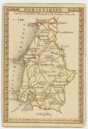
A large-scale map of Dorset in fine colour
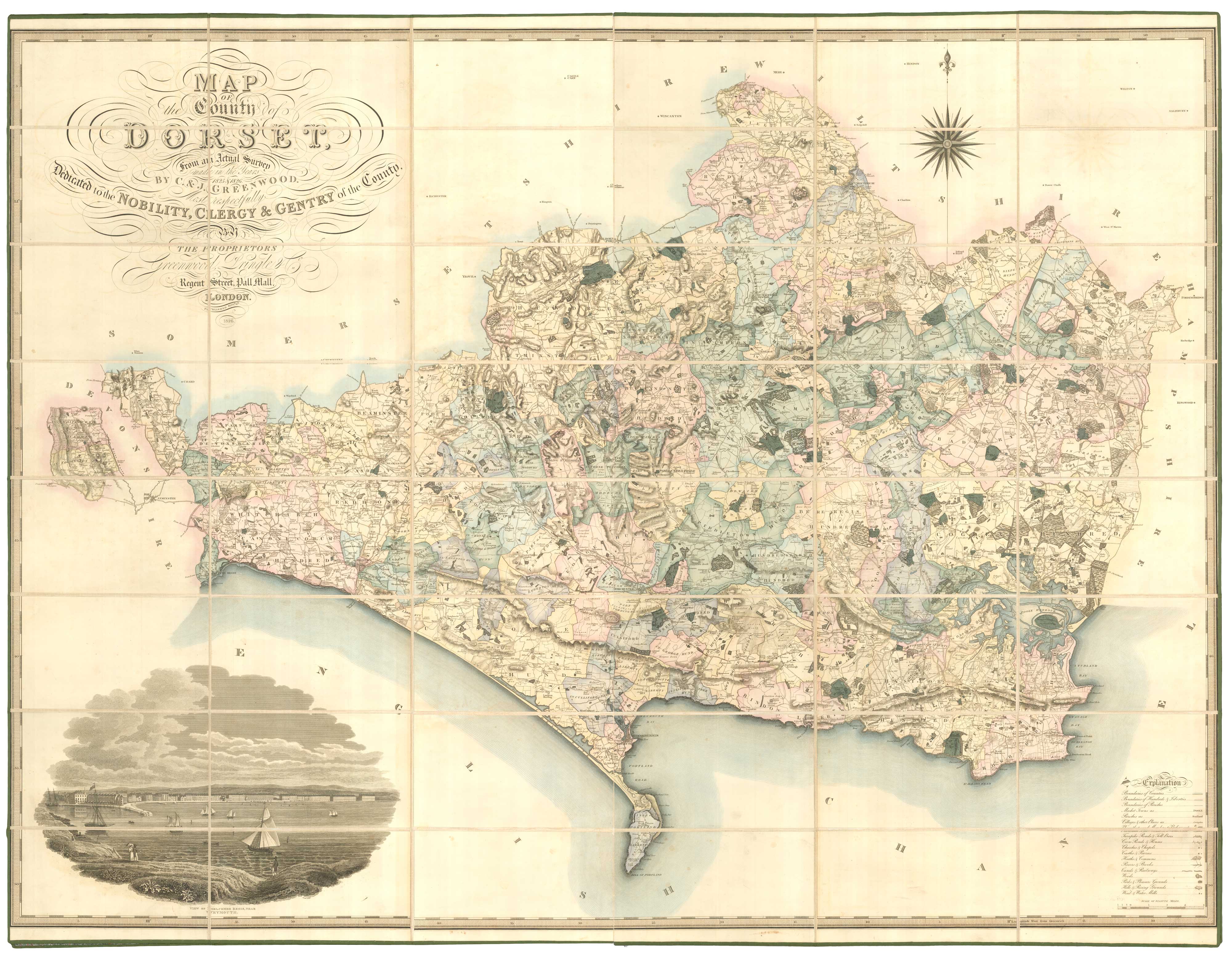
Map of the County of Dorset from an Actual Survey made in the Years 1825 & 1826 by C. & J. Greenwood, Most respectfully Dedicated to the Nobility, Clergy & Gentry of the County...
London: Greenwood, Pringle & Co., 1826. Fine original colour. Dissected and laid on linen, edged with silk with marbled covers. Total 1190 x 1570mm. With original full calf box, with red morocco title label.
x
Question About This Item?
A large-scale map of Dorset in fine colour & GREENWOOD, C. & J.Stock #: 25815"*" indicates required fields
Similar to Sell?
Add to Wishlist
Add to Wishlist
Description
A highly-detailed map of Dorset, containing hundreds, parishes, towns, villages, turnpike roads, toll-bars, cross-roads, churches, castles, chapels, heaths, commons, canals, railways, distances between towns. Bottom left is a fine vignette view of Weymouth from the Nothe, drawn by R. Creighton. Both map and box are in superb condition.
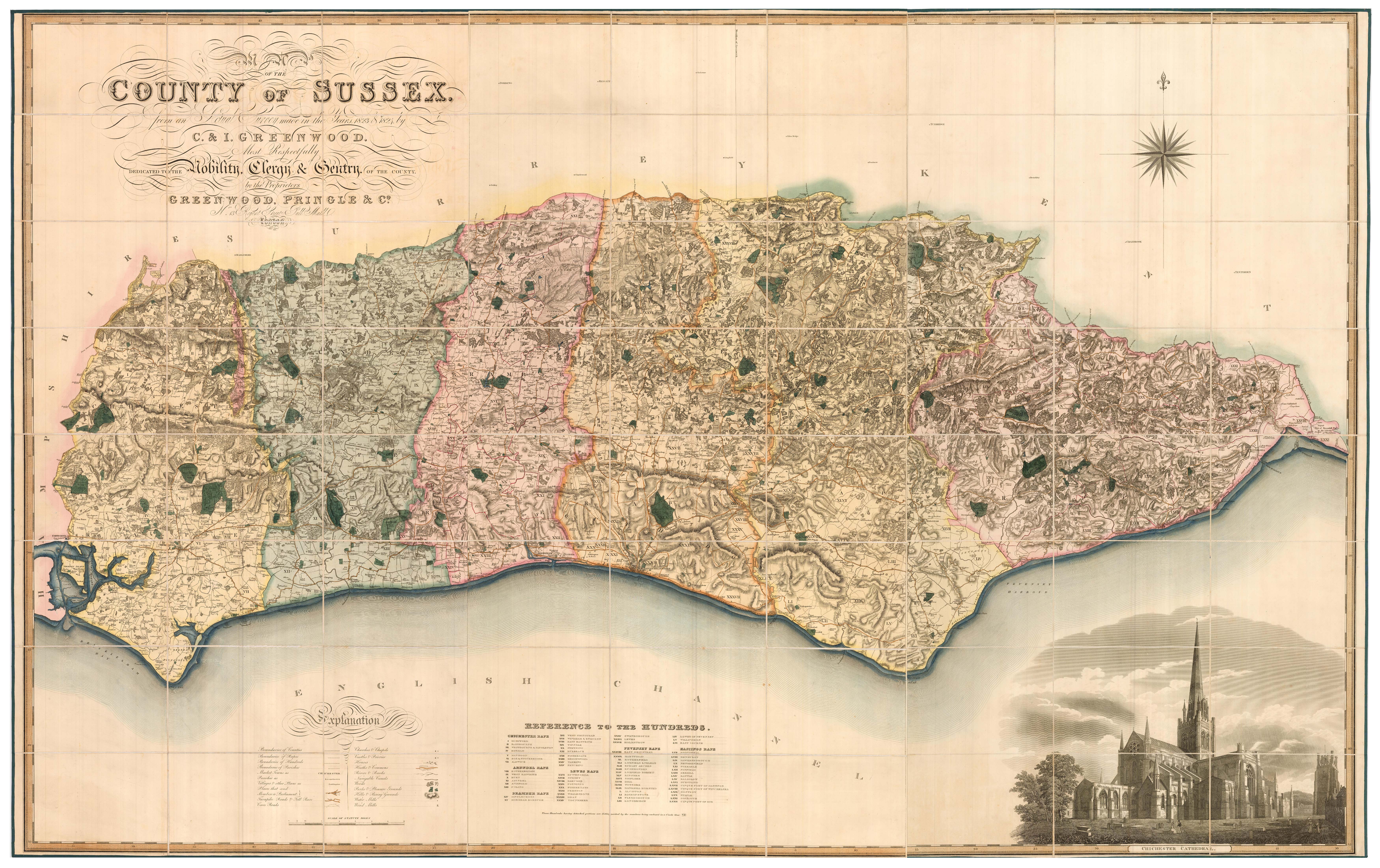
Christopher & John Greenwood mapped all but five of the English counties in unprecedented detail, publishing their maps between 1817 and 1834.
Condition:
Bookplate on marbled covers, a fine example.Related products
Items by the same author
Add to Wishlist
Add to Wishlist
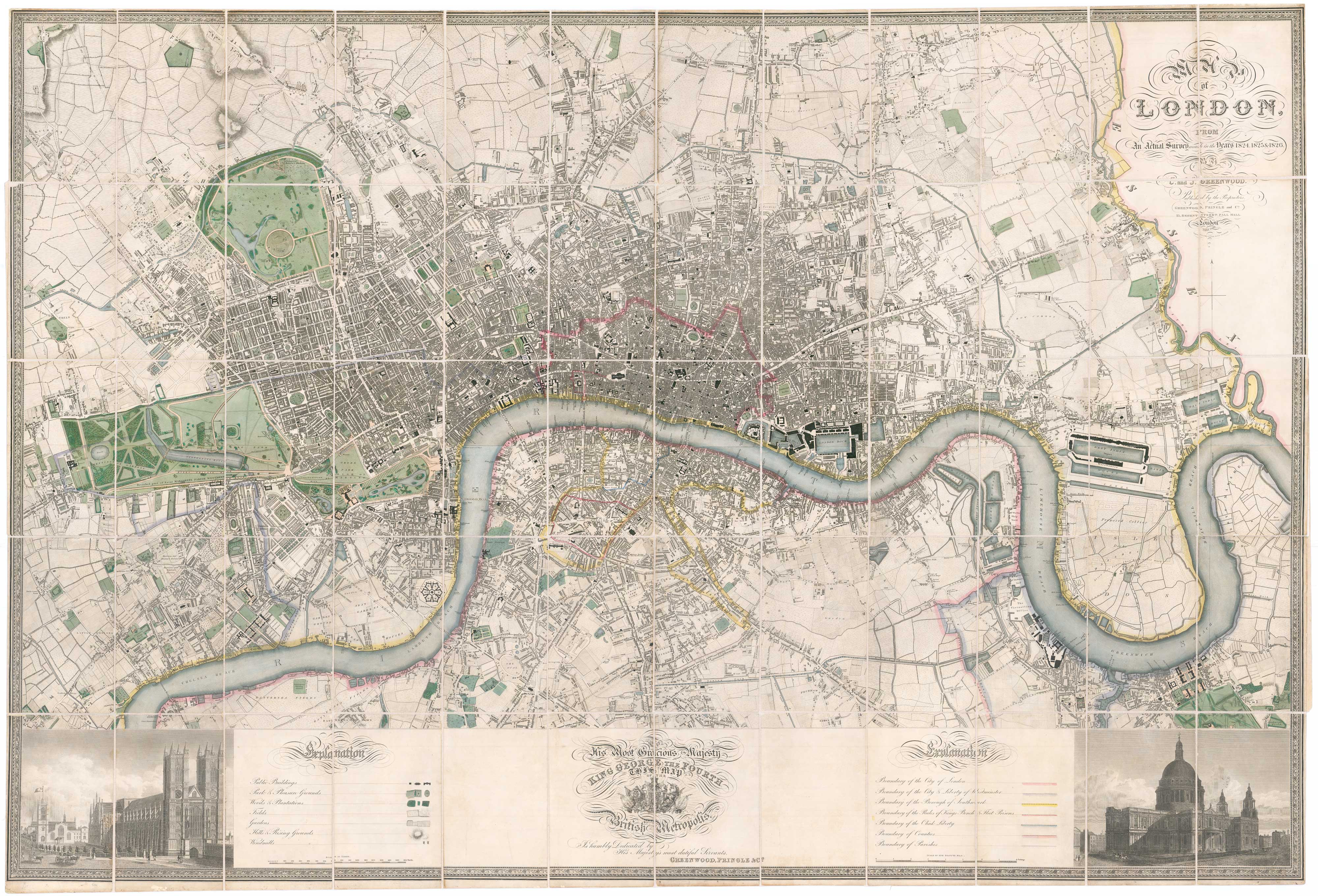
First edition of Greenwood's six-sheet plan of London, in fine colour
GREENWOOD, C. & J. Date: 1827 Stock #: 26283 £28,500.00
Add to Wishlist
Add to Wishlist
Add to Wishlist
Add to Wishlist
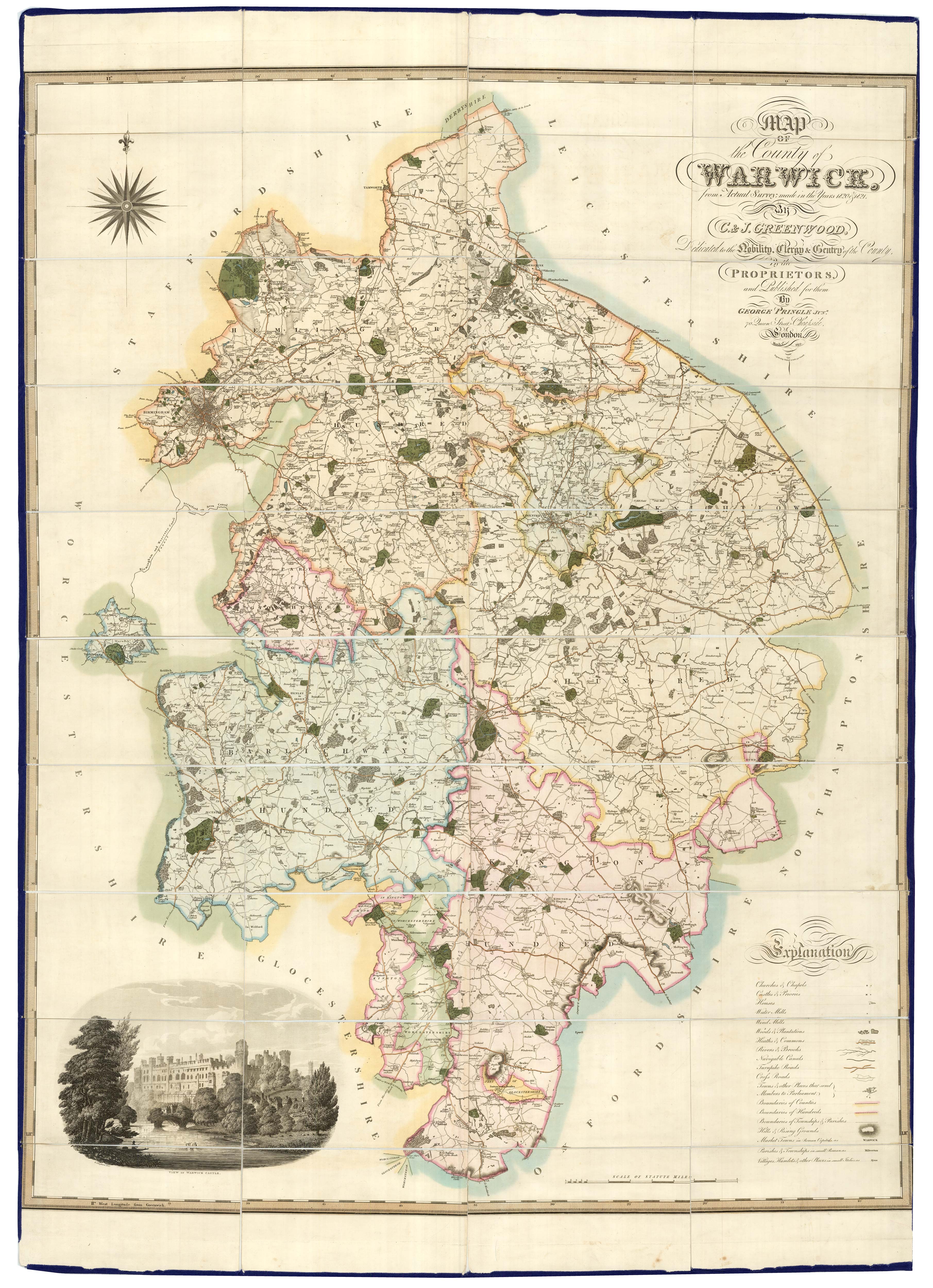
A large scale map of Warwickshire in fine colour
GREENWOOD, C. & J. Date: 1822 Stock #: 24068 £1,600.00
Add to Wishlist
Add to Wishlist
Add to Wishlist
Add to Wishlist
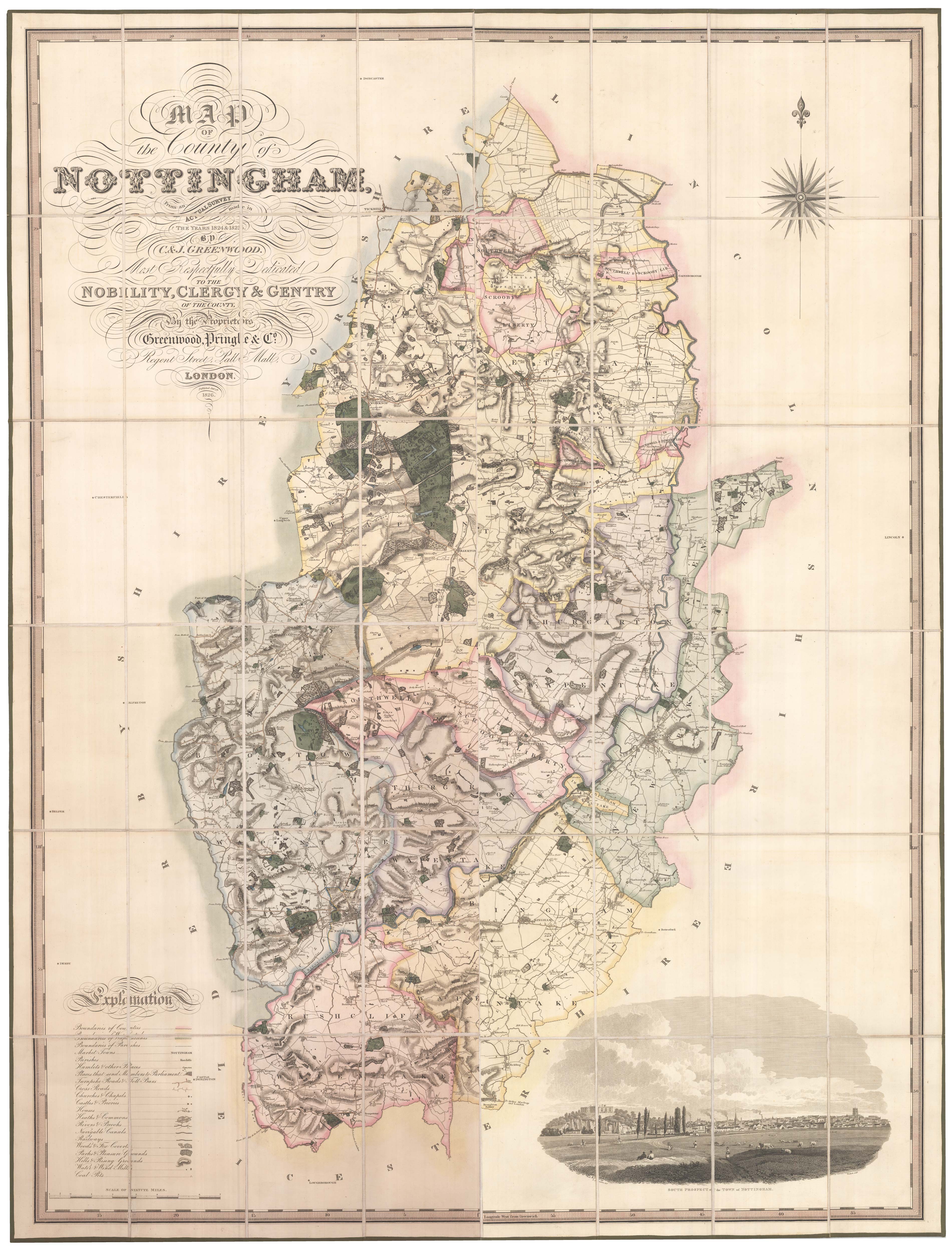
A large scale map of Nottinghamshire in fine colour
GREENWOOD, C. & J. Date: 1826 Stock #: 24066 £2,000.00
Add to Wishlist
Add to Wishlist
