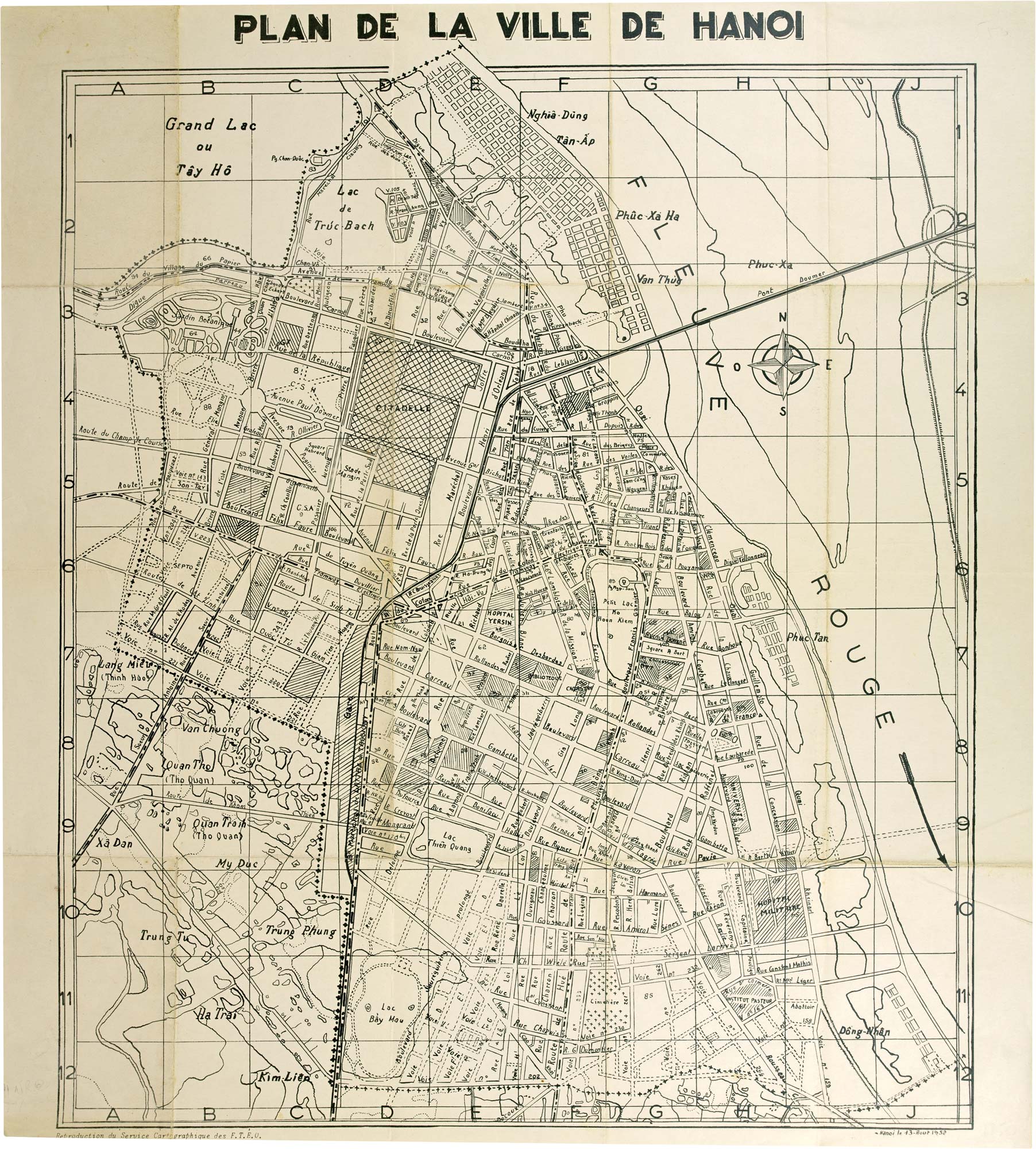


A rare plan of Hanoi published toward the end of the French Indochina war
Plan de la Ville de Hanoi.
Publishe Hanoi 1952. Total sheet size 550mm x 495mm.
£1,200.00
1 in stock
x
Question About This Item?
A rare plan of Hanoi published toward the end of the French Indochina war & FORCES TERRESTRES D'EXTREME ORIENT.Stock #: 24957"*" indicates required fields
Similar to Sell?
Add to Wishlist
Add to Wishlist
Description
1952 map of Hanoi produced by the Forces Terrestres d'Extrême-Orient (FTEO). The streets are primarily labelled in French, although some locations feature Vietnamese names.
The map highlights the city's electrical tramway network with dotted and crossed lines, while key landmarks such as the tram station are marked with diagonal stitching along with other notable sites including the library, military hospital, and the Institut Pasteur.
The FTEO, which represented the French military's ground forces in the Far East, played a crucial role during this time. Established in the aftermath of World War II, the FTEO was involved in various military operations throughout Indochina, including the First Indochina War against the Viet Minh.
The Forces Terrestres d'Extrême-Orient (FTEO) were officially disbanded in 1956, following the signing of the Geneva Accords in 1954. These accords led to the withdrawal of French forces from Vietnam. The disbandment marked the end of French military operations in Indochina and the transition towards Vietnam's full independence.
Condition:
Bottom margin trimmed.Related products
-

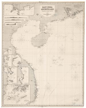
Victorian blue-back chart of China and Vietnam
IMRAY, James. Date: 1872Stock #: 22589 £1,100.00 -

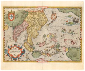
16th century map of the East Indies
ORTELIUS, Abraham. Date: 1595Stock #: 25779 £2,600.00 -

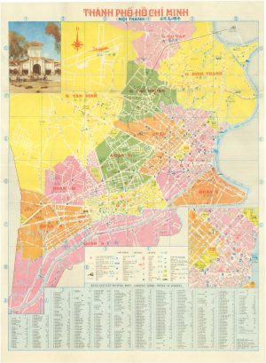
Detailed map of Ho Chi Minh City during the cold war
Anonymous. Date: 1990Stock #: 24967 £325.00 -

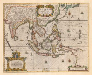
One of the earliest sea charts to show any part of Australia
HONDIUS, Henricus. Date: 1646Stock #: 25081 £1,250.00