

Important ethnographic map of Hungary after the Treaty of Trianon
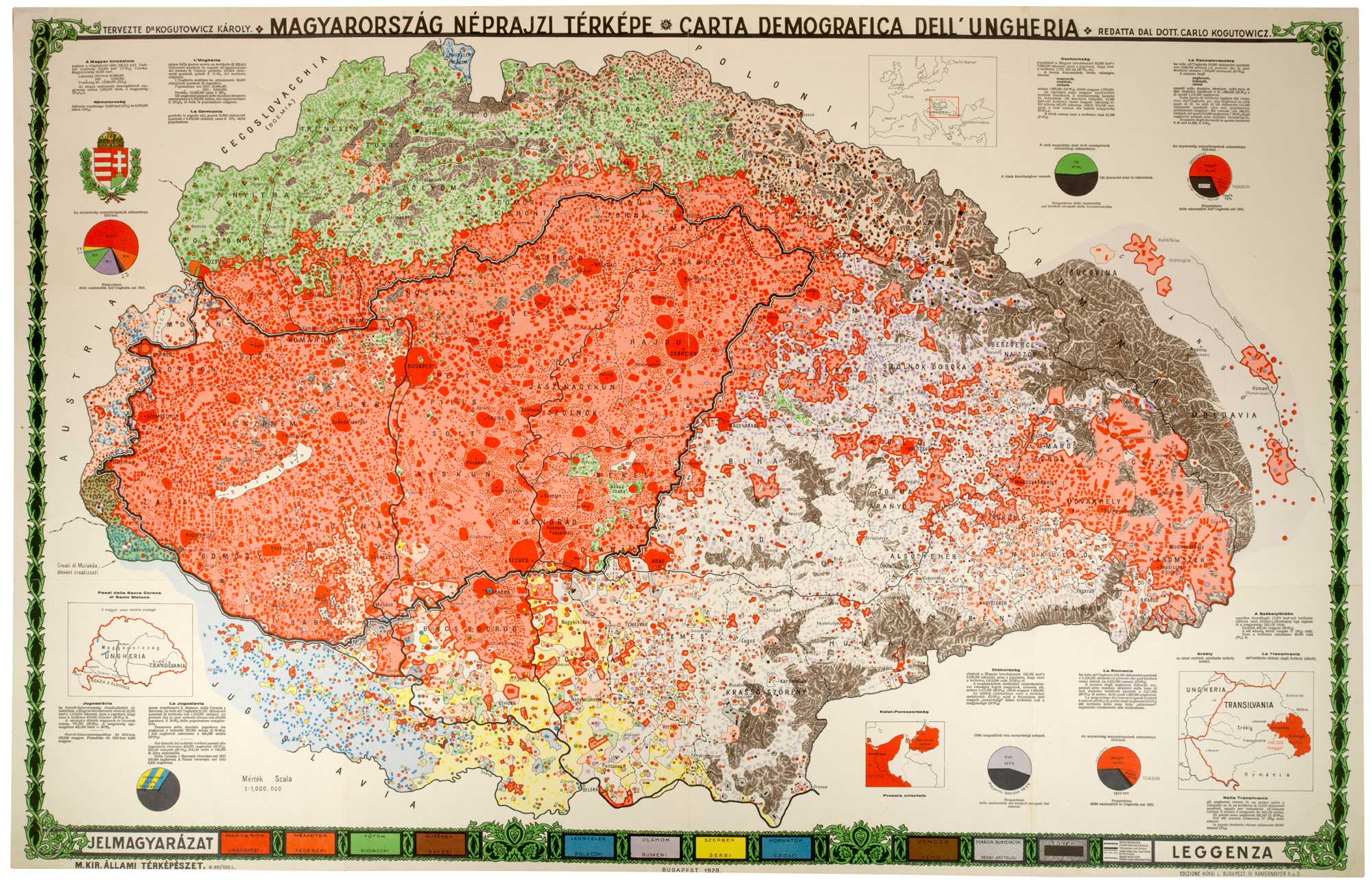
Magyarország Néprajzi Térképe / Carta Demografica dell'Ungheria. (Hungary's ethnic map).
Budapest: M. Kir. Állami Térképészet (Royal Hungarian State Cartographic Institute), 1928. Bilingual Hungarian/Italian edition. Colour printed map. Sheet 615mm x 945mm.
£480.00
1 in stock
x
Question About This Item?
Important ethnographic map of Hungary after the Treaty of Trianon & KOGUTOWICZ, KárolyStock #: 24963"*" indicates required fields
Similar to Sell?
Add to Wishlist
Add to Wishlist
Description
A large-format ethnographic and statistical map of the historical Kingdom of Hungary, designed by geographer Károly Kogutowicz and issued in this Italian-language edition amid Hungary's international treaty-revision campaign of the late 1920s, sparked in part by Lord Rothermere's 1927 Daily Mail article "Hungary's Place in the Sun." Kogutowicz had been part of the team that produced the original 1918 ethnographic survey underlying Pál Teleki's "Carte Rouge," used by the Hungarian delegation at the Paris Peace Conference; this later map applies the same method to argue for revision of the 1920 Treaty of Trianon.
Eleven ethnic groups are distinguished by colour: Magyars (red), Germans (orange), Slovaks (green), Ruthenians (brown), Poles (blue), Romanians (lilac), Serbs (yellow), Croats (mid-blue), Slovenes/"Vends" (tan), Bosniaks/Bunjevci (stippled), and other (grey), with density rendered through varying dot and block sizes. A black-and-white banded line marks the post-Trianon frontier, distinguished in the key from ordinary national and county borders. Marginal text and pie charts compare territory and population ceded to Czechoslovakia, Romania, and Yugoslavia against each successor state's own claimed ethnic majority, alongside a comparison of Hungary's territorial and demographic losses against Germany's under Versailles.
Condition:
A good example.Related products
-

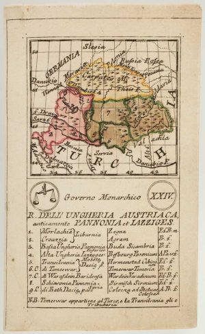
An 18th century playing-card map of Hungary
RABATTA, Augusto & BAILOU, Jean Baptist de. Date: 1779Stock #: 13003 £380.00 -

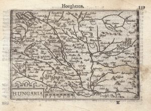
A 16th century miniature map of Hungary
LANGENES, Barent. Date: 1599Stock #: 21310 £110.00 -

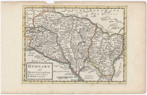
18th century English map of Hungary and Transylvania
MOLL, Herman. Date: 1732Stock #: 25881 £140.00 -

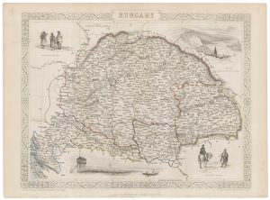
A mid 19th century map of Hungary with decorative vignettes
TALLIS, John. Date: 1851Stock #: 21625 £125.00 -

Uncommon early 18th century map of Hungary
BODENEHR, Gabriel. Date: 1730Stock #: 16891 £950.00 -

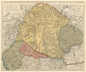
Early 18th century map of Hungary, with Transilvania, Croatia and Slovenia
SCHENK, Pieter. Date: 1717Stock #: 17948 £300.00 -

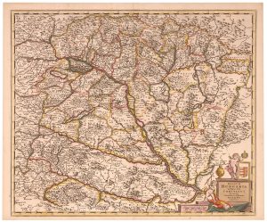
An 17th century map of the Kingdom of Hungary
DE WIT, Frederick. Date: 1688Stock #: 23292 £450.00 -

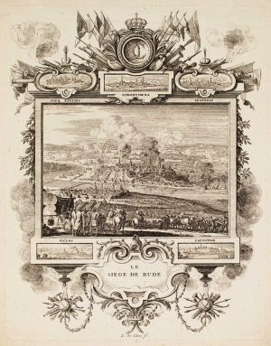
The Siege of Buda 1686
LE CLERC, Sebastian. Date: 1710Stock #: 17186 £225.00 -

Ortelius’s map of Hungary in fine original colour
ORTELIUS, Abraham. Date: 1603Stock #: 23806 £600.00