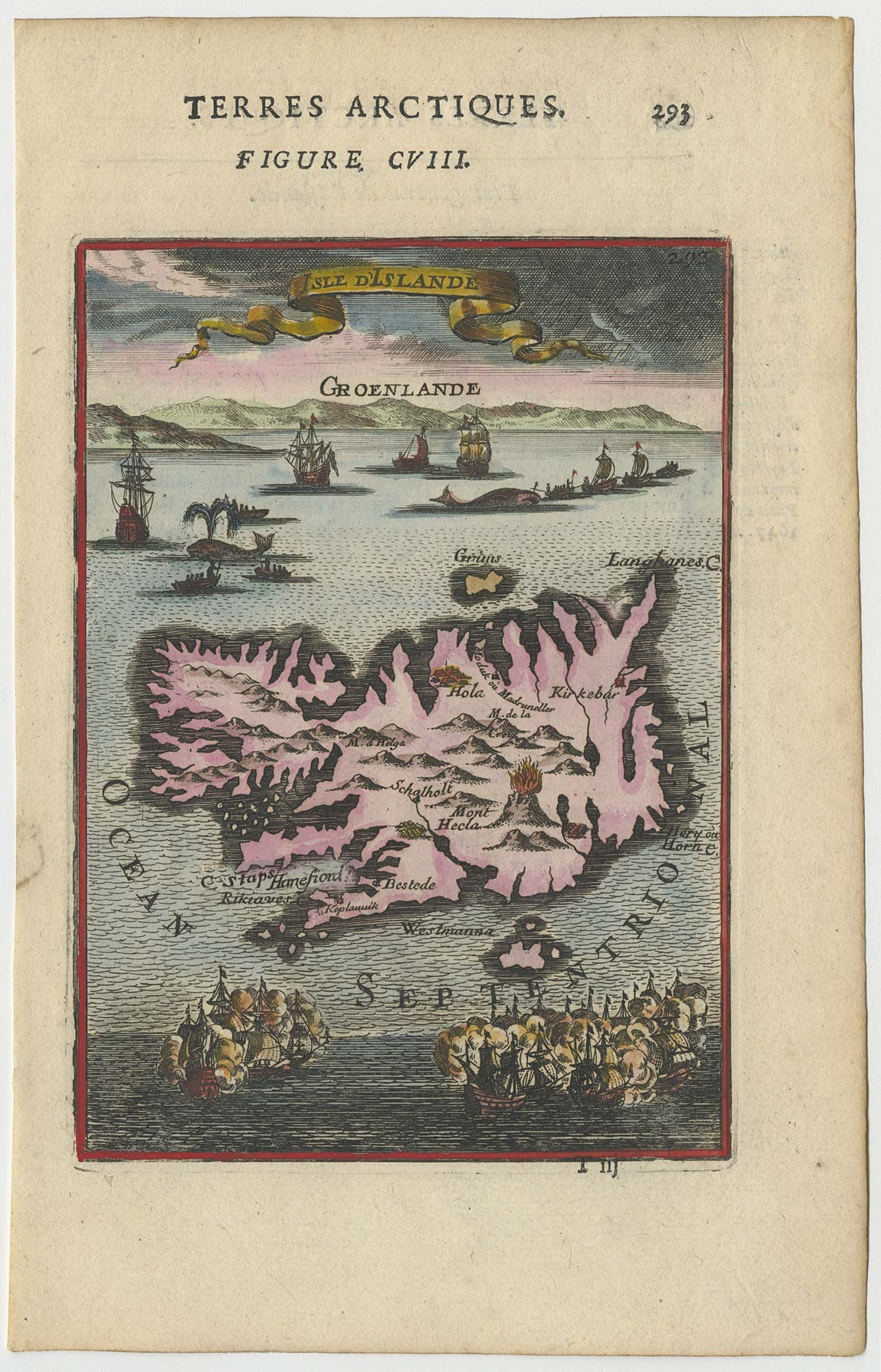


17th century miniature map of Iceland
Isle d'Islande.
Paris, 1683. 145 x 110mm, set in letterpress.
£225.00
1 in stock
x
Question About This Item?
17th century miniature map of Iceland & MALLET, Alain Manesson.Stock #: 24706"*" indicates required fields
Similar to Sell?
Add to Wishlist
Add to Wishlist
Description
A map of Iceland showing an erupting Hekla Volcano, seabattles and whaling ships in seas. From Mallet's 'Description de l'Univers'.
Condition:
A good example.Related products
-

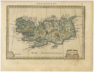
An early 17th century map of Iceland
HONDIUS, Jodocus. Date: 1610Stock #: 24509 £350.00 -

An uncommon Italian map of Iceland
CASSINI, Giovanni Maria. Date: 1796Stock #: 24094 £500.00 -

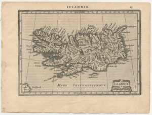
A 17th century map of Iceland from a pocket atlas
JANSSON, Jan. Date: 1631Stock #: 25070 £450.00 -

A 17th century map of Iceland from a pocket atlas
JANSSON, Jan. Date: 1628Stock #: 25556 £400.00 -

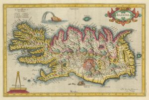
Early 17th century map of Iceland in fabulous early colour
MERCATOR, Gerard. Date: 1608Stock #: 23475 £1,800.00 -

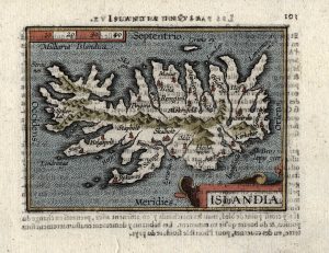
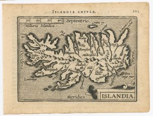
The scarce second Galle plate for Iceland used in the ‘Epitome’
ORTELIUS, Abraham. Date: 1598Stock #: 25694 £300.00 -

The scarce second Galle plate for Iceland used in the ‘Epitome’
ORTELIUS, Abraham. Date: 1598Stock #: 23194 £600.00 -

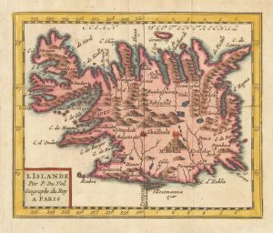
17th century French map of Iceland
DU VAL, Pierre. Date: 1682Stock #: 25367 £280.00
Items by the same author
Add to Wishlist
Add to Wishlist
Add to Wishlist
Add to Wishlist
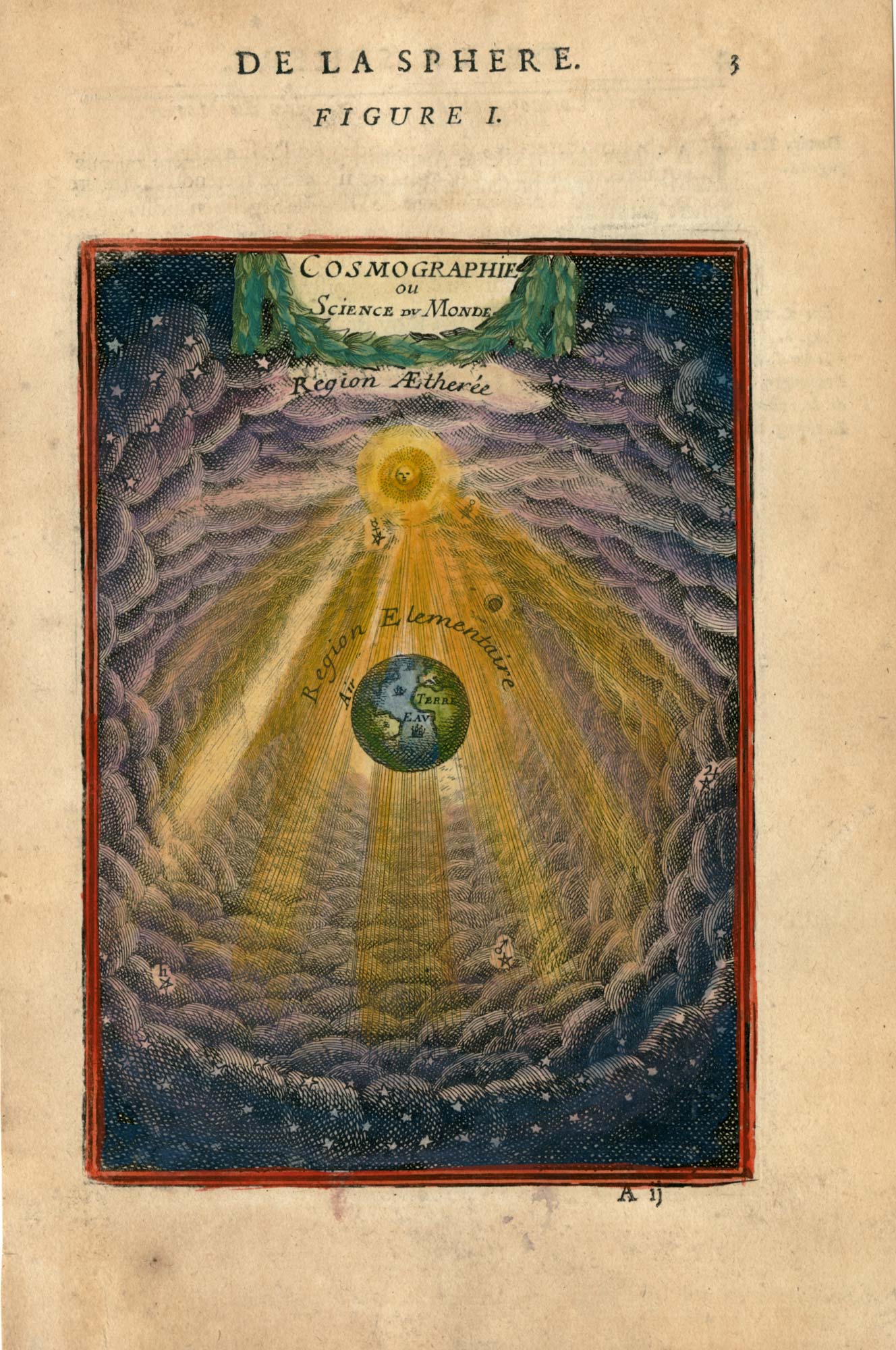
17th century plate representing the science of cosmography
MALLET, Alain Manesson. Date: 1683 Stock #: 26097 £220.00
Add to Wishlist
Add to Wishlist
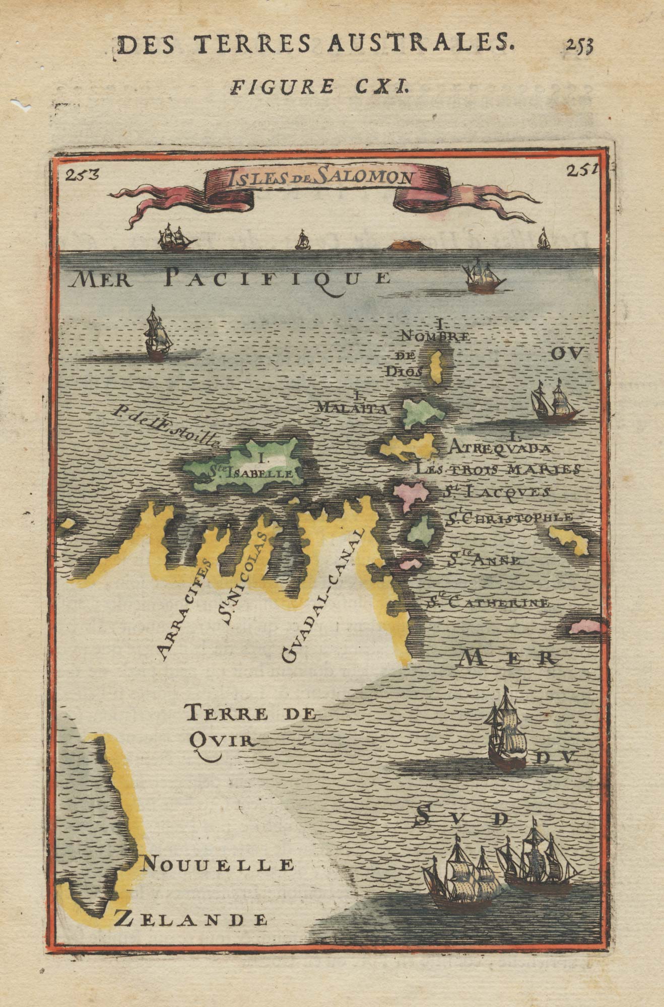
17th century miniature map of the Solomon Islands joined to New Zealand
MALLET, Alain Manesson. Date: 1683 Stock #: 19096 £150.00
Add to Wishlist
Add to Wishlist
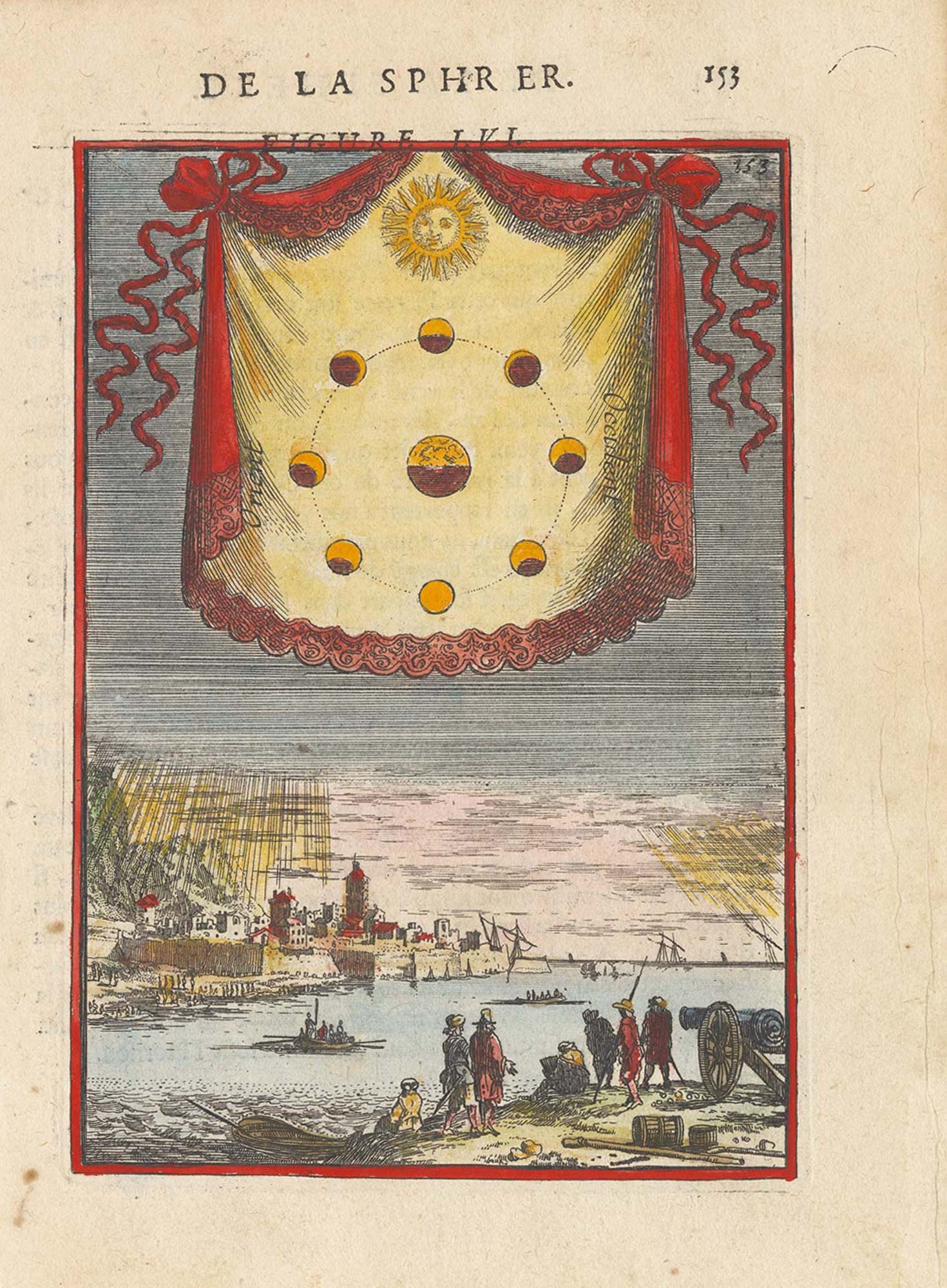
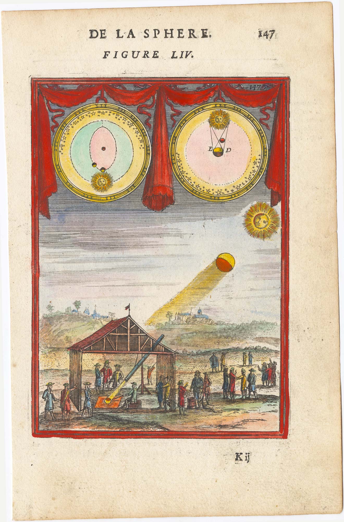
17th century plate illustrating the phases of the moon
MALLET, Alain Manesson. Date: 1683 Stock #: 25383 £225.00
Add to Wishlist
Add to Wishlist
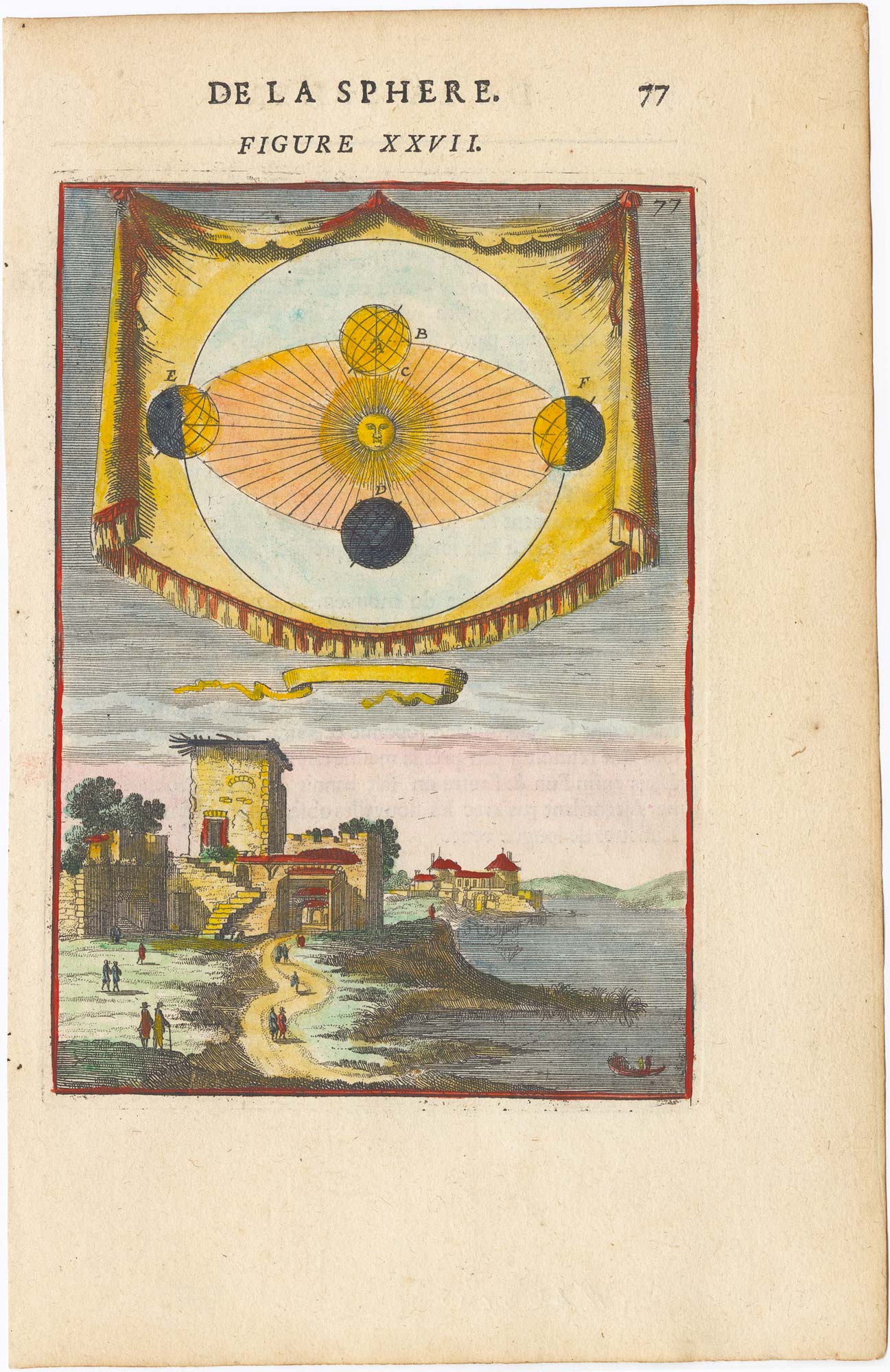
17th century illustration of Copernicus' Explanation of Earth's Third Motion
MALLET, Alain Manesson. Date: 1683 Stock #: 25384 £180.00
Add to Wishlist
Add to Wishlist