Antique Maps by MALLET, Alain Manesson.
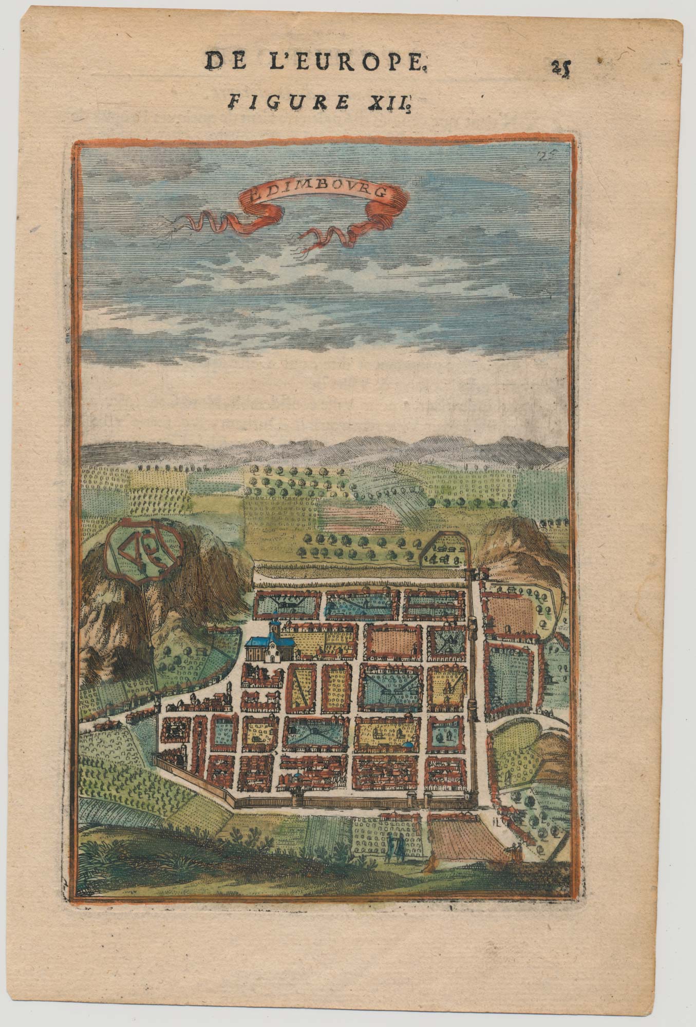
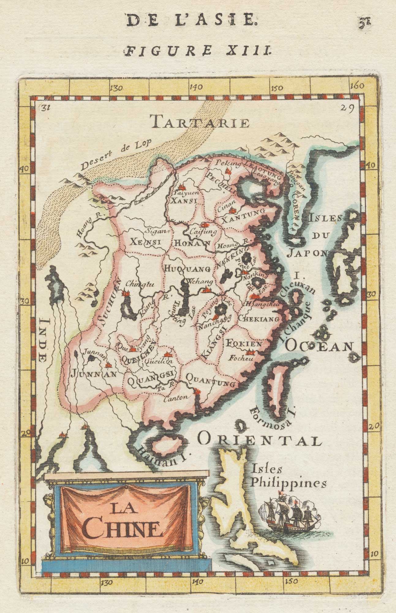
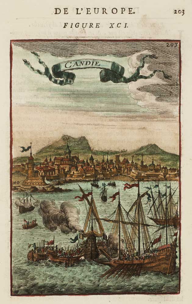
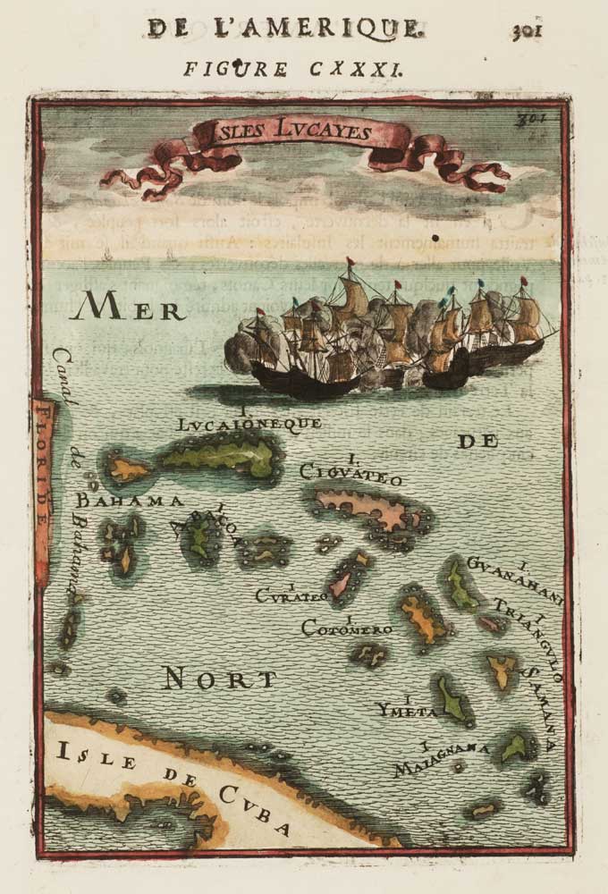
Alain Manesson Mallet (1630–1706) was a French military engineer, geographer and cartographer, best remembered for producing some of the most accessible and visually distinctive geographical works of the late seventeenth century. His importance lies in the way he synthesised contemporary European geographical knowledge into compact, well-illustrated books that circulated widely and helped shape popular impressions of the wider world.
Mallet served as an engineer in the French army before working in a teaching role connected with military mathematics and fortification, a background that informed his clear approach to plans, views and schematic mapping. His printed maps are typically small in format, neatly engraved, and often accompanied by explanatory text, reflecting their intended use as practical and educational reference rather than as large display cartography.
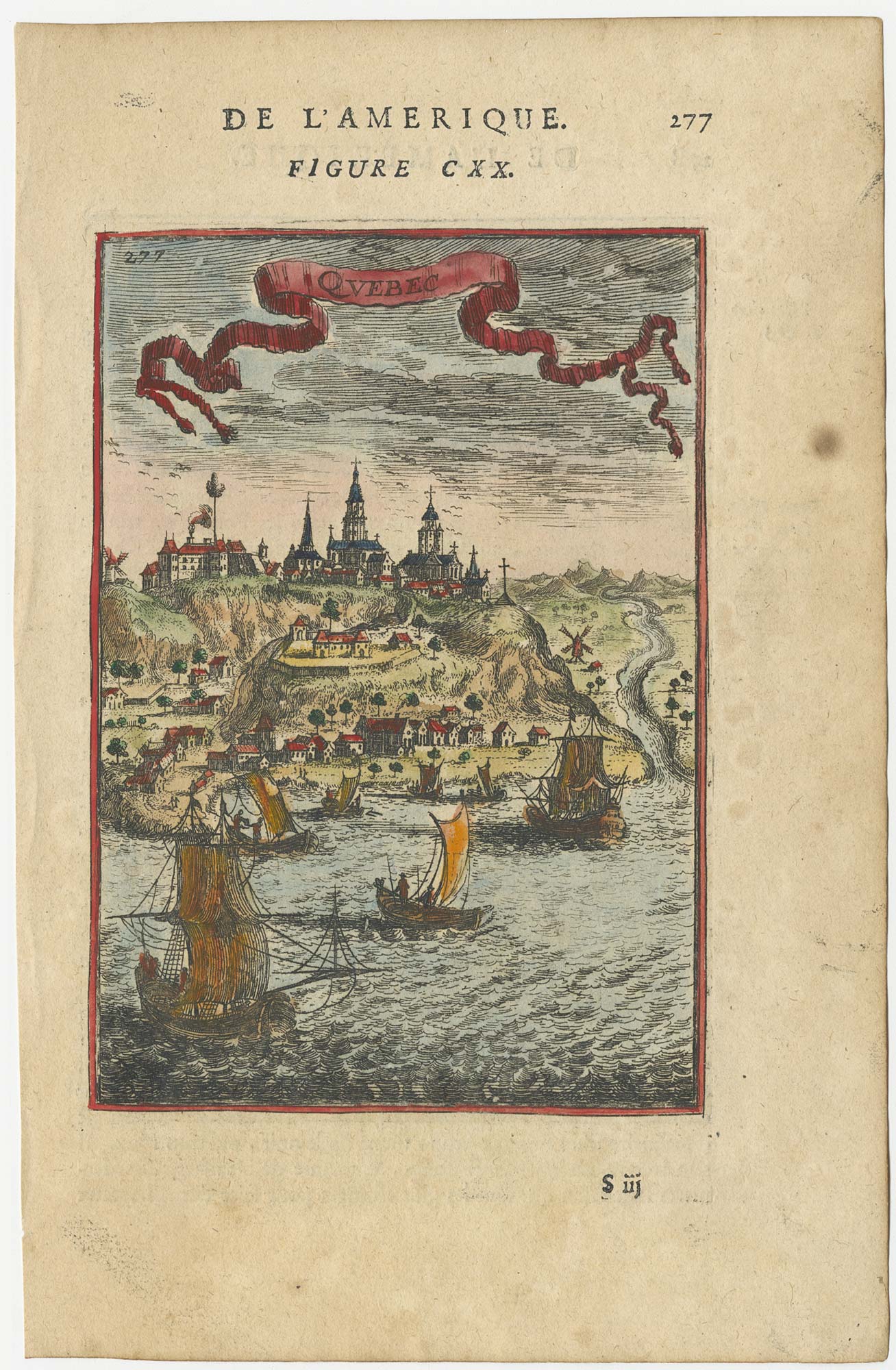
He is chiefly associated with his Descriptions de l’Univers, a multi-volume work that combined maps with town plans, battle plans, costume figures and topographical views. Though not always original in their geographical content, Mallet’s plates are valued for their breadth, their lively graphic style, and their role in transmitting cartographic and ethnographic imagery to a broad readership.
→ Explore more works by Alain Manesson Mallet
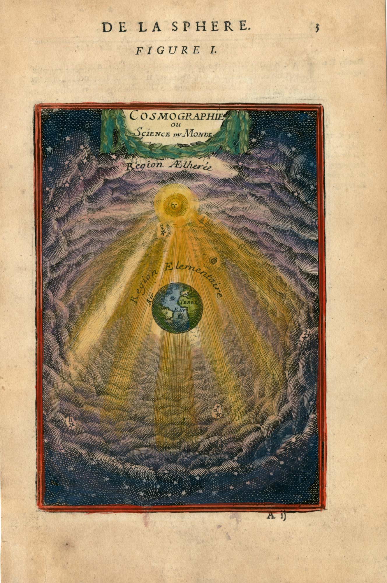
17th century plate representing the science of cosmography
MALLET, Alain Manesson. Date: 1683 Stock #: 26097 £220.00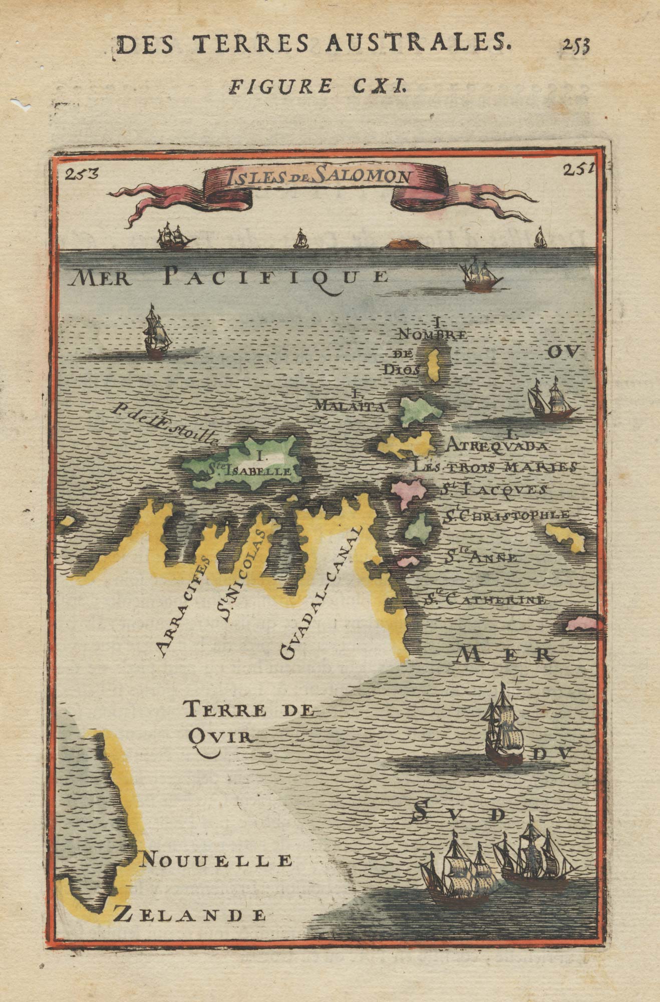
17th century miniature map of the Solomon Islands joined to New Zealand
MALLET, Alain Manesson. Date: 1683 Stock #: 19096 £150.00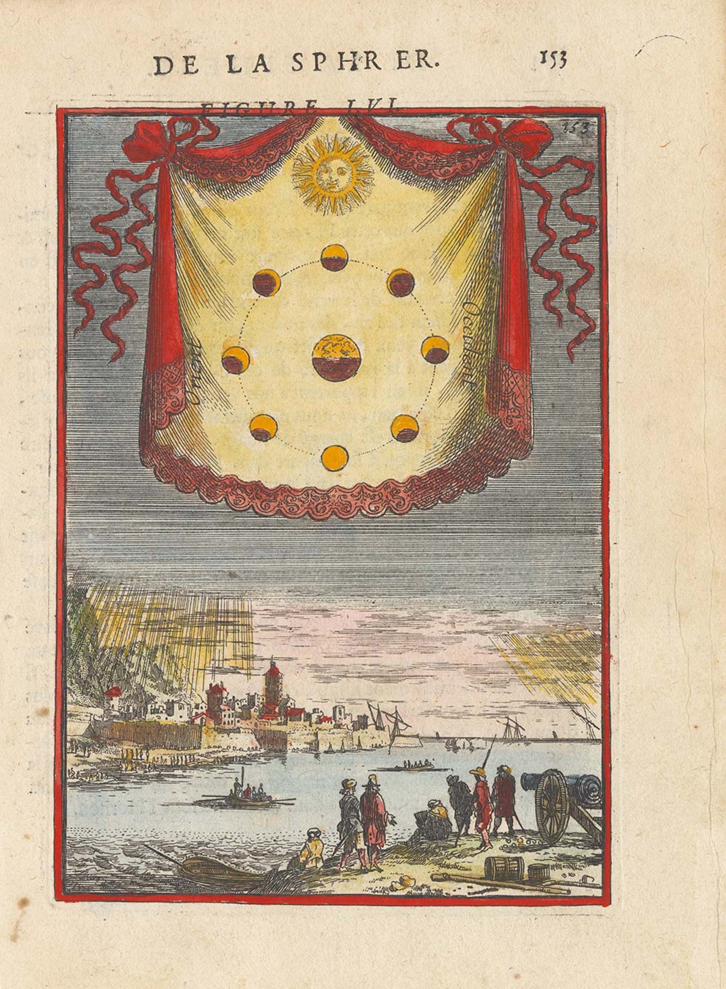
17th century plate illustrating the phases of the moon
MALLET, Alain Manesson. Date: 1683 Stock #: 25383 £225.00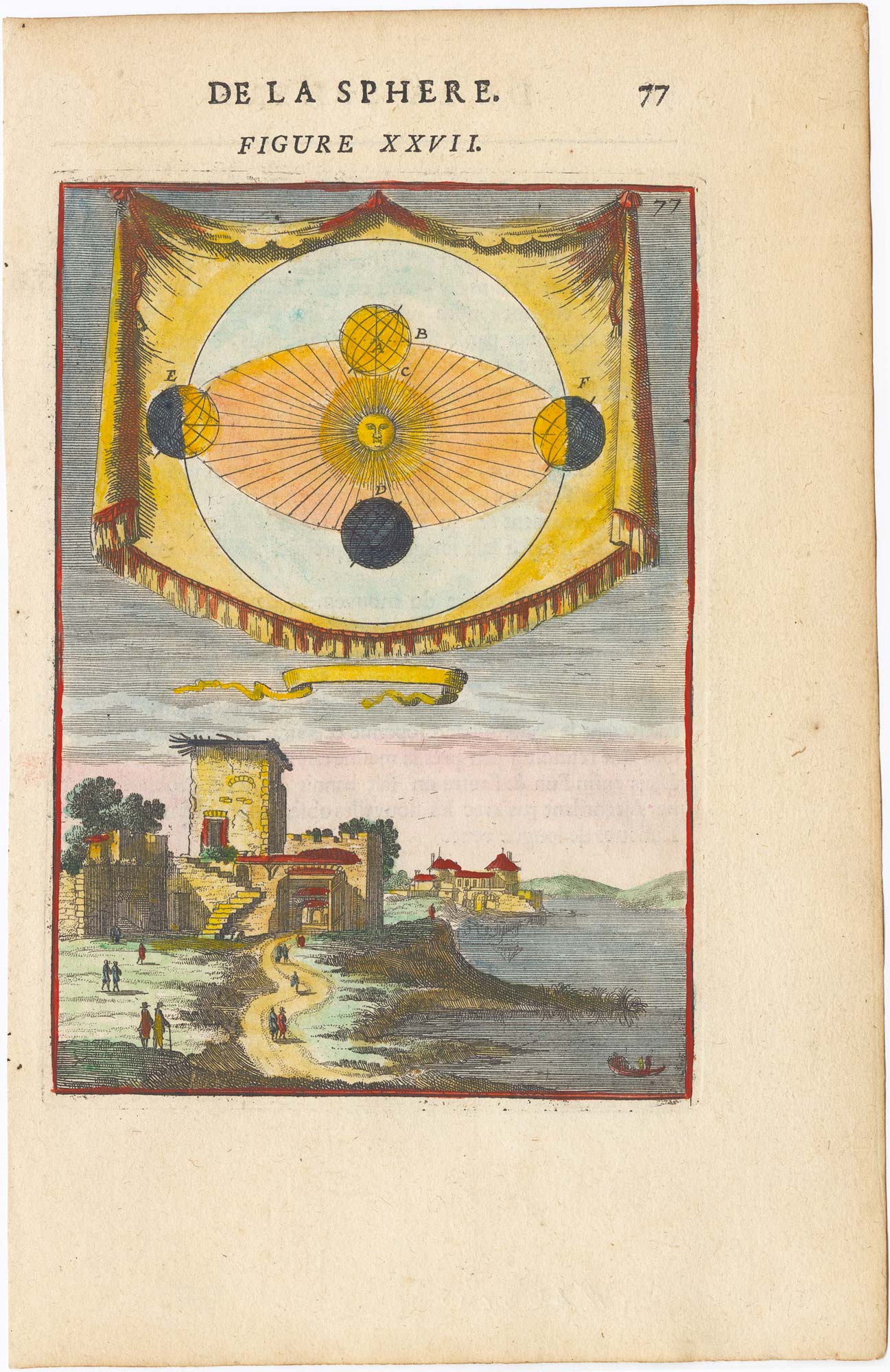
17th century illustration of Copernicus' Explanation of Earth's Third Motion
MALLET, Alain Manesson. Date: 1683 Stock #: 25384 £180.00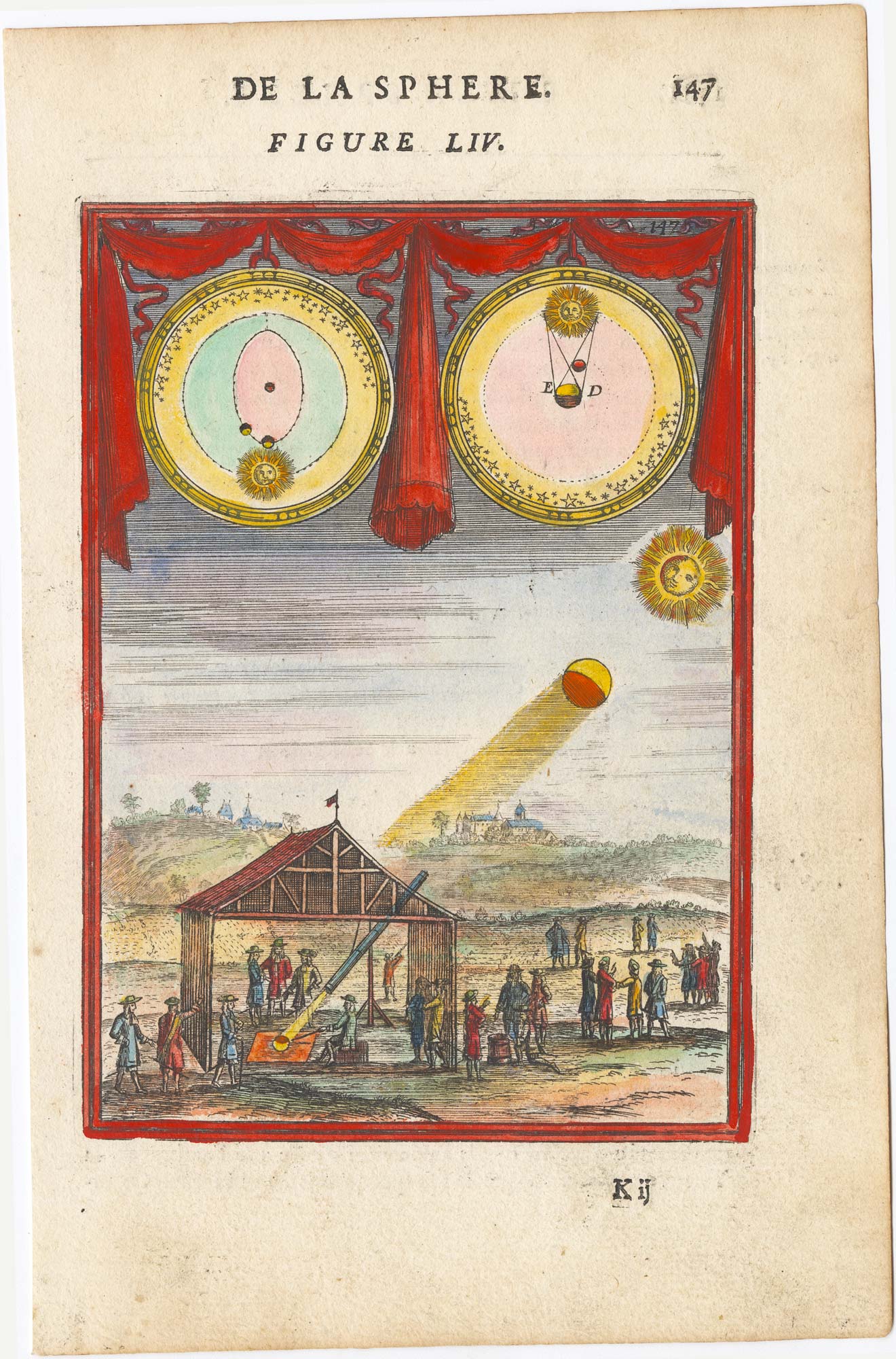
17th century print showing a solar eclipse
MALLET, Alain Manesson. Date: 1683 Stock #: 25388 £160.00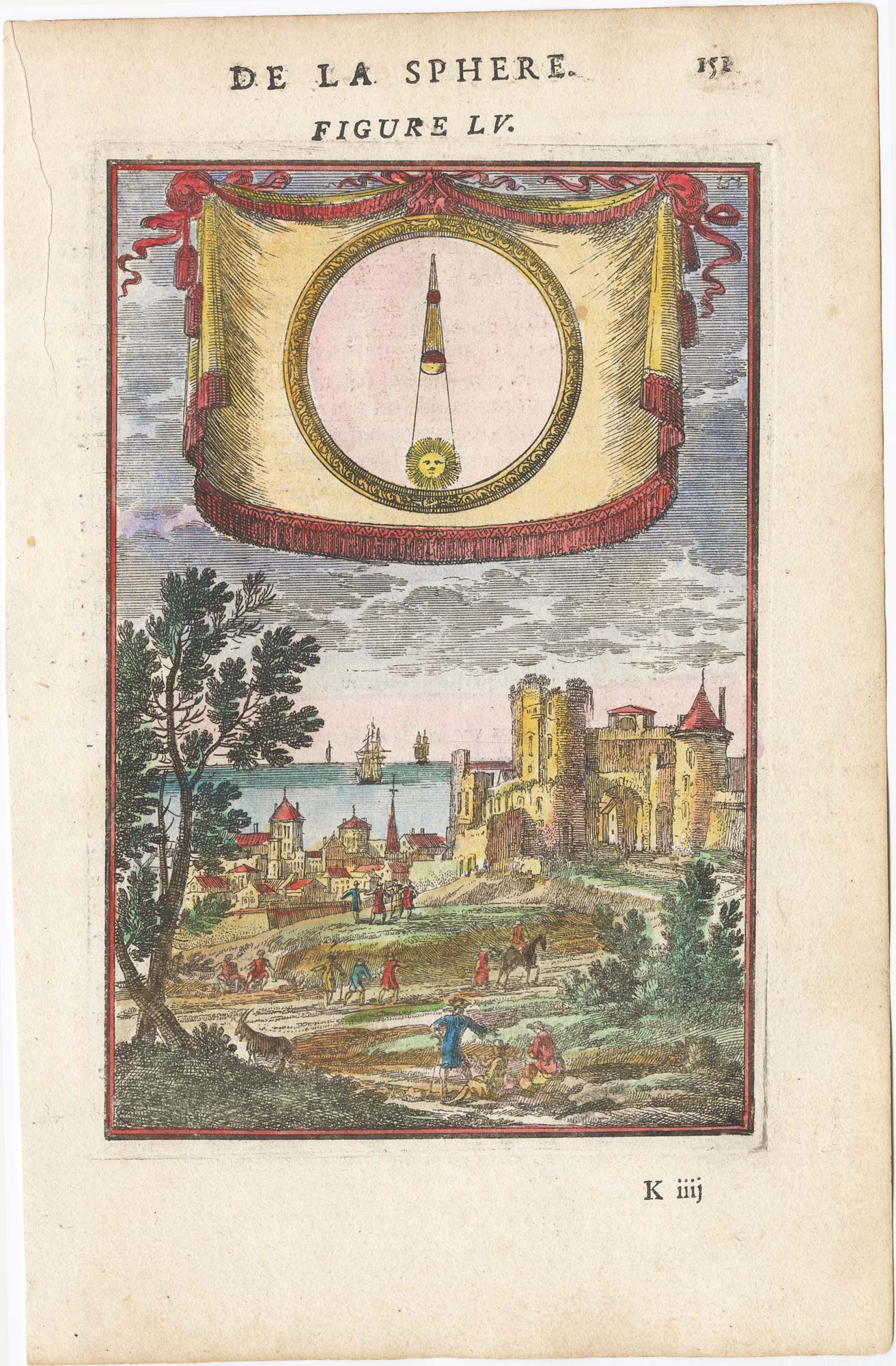
17th century illustration of the eclipse of the moon
MALLET, Alain Manesson. Date: 1683 Stock #: 25385 £160.00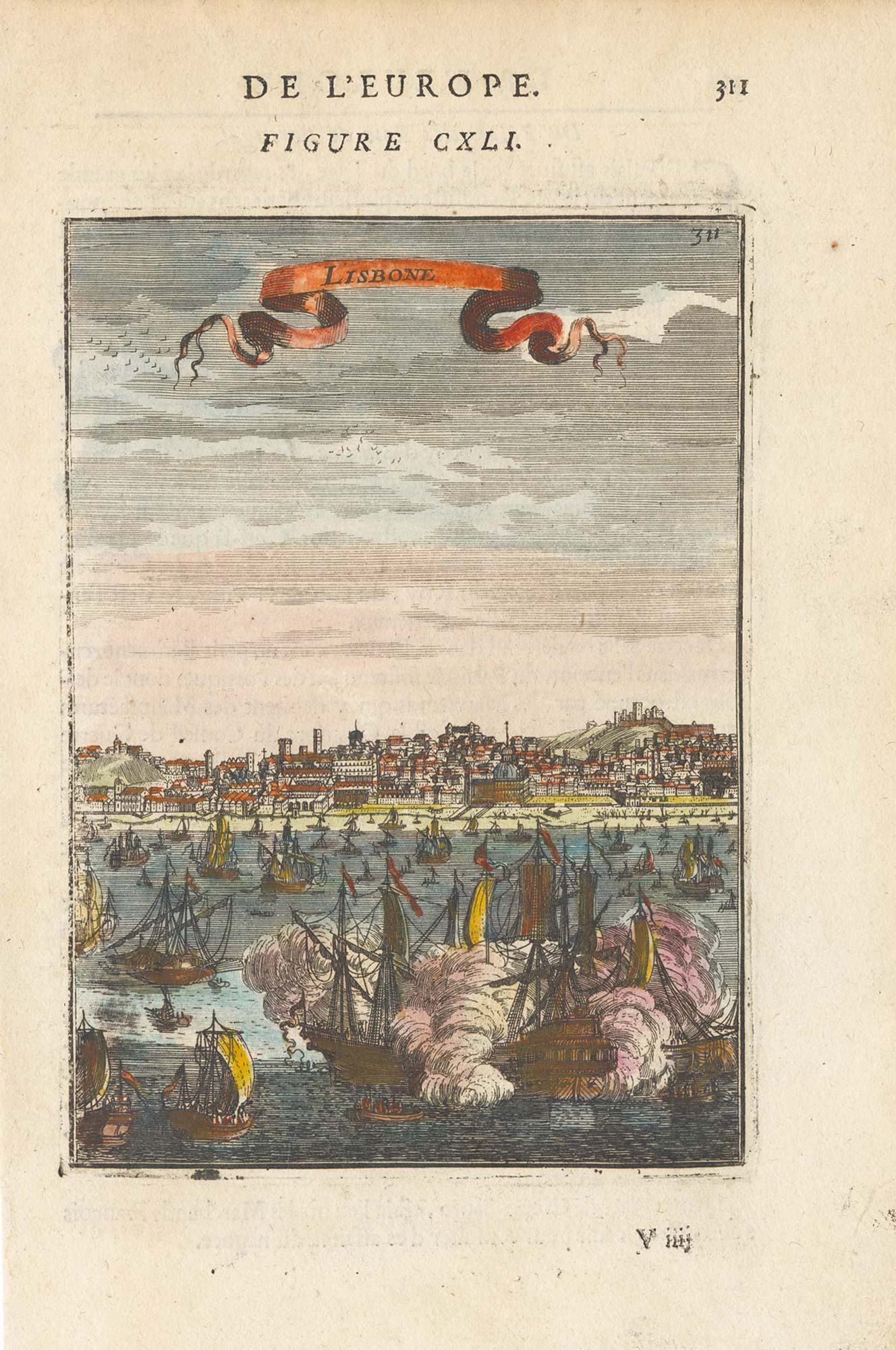
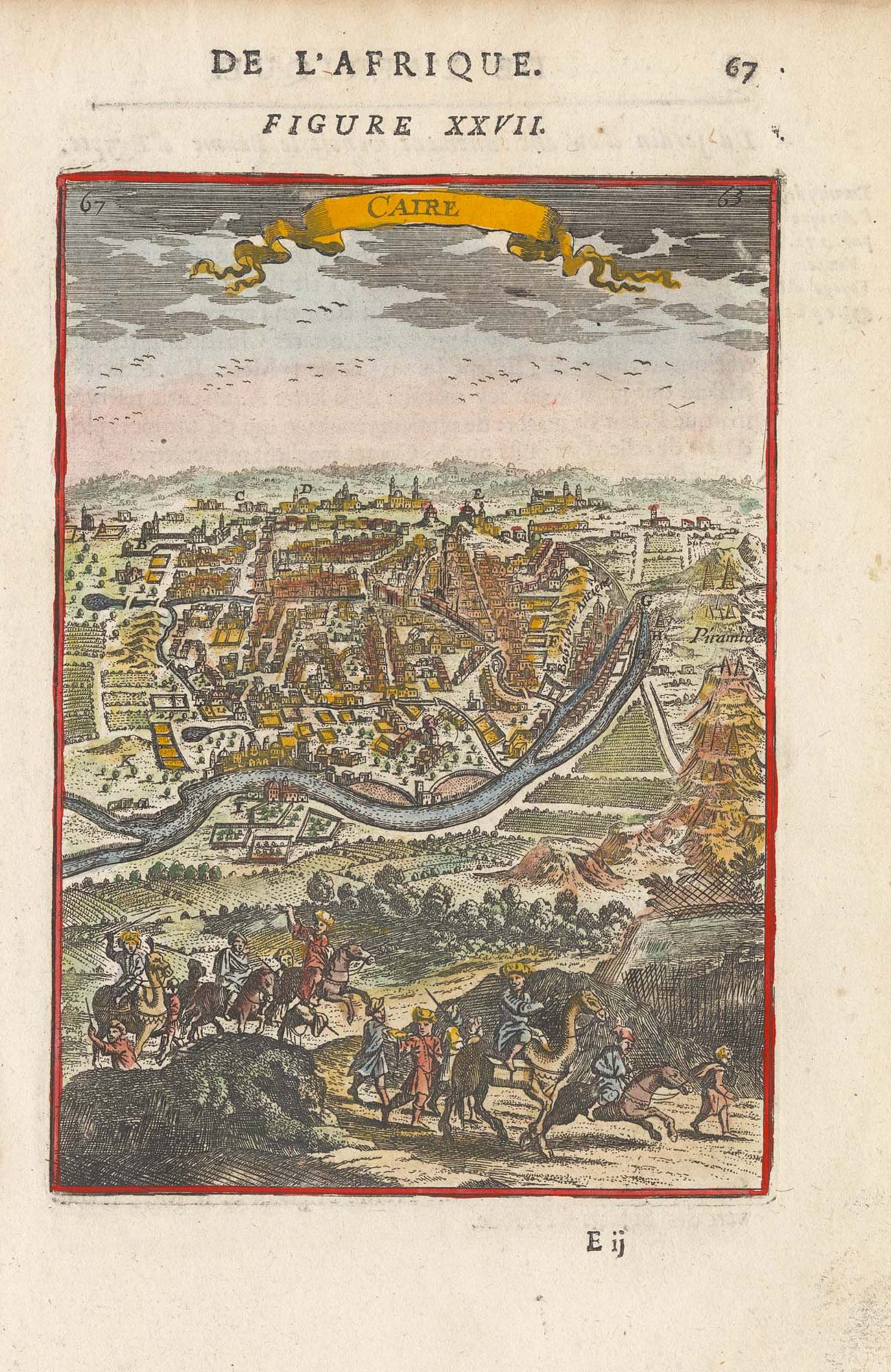
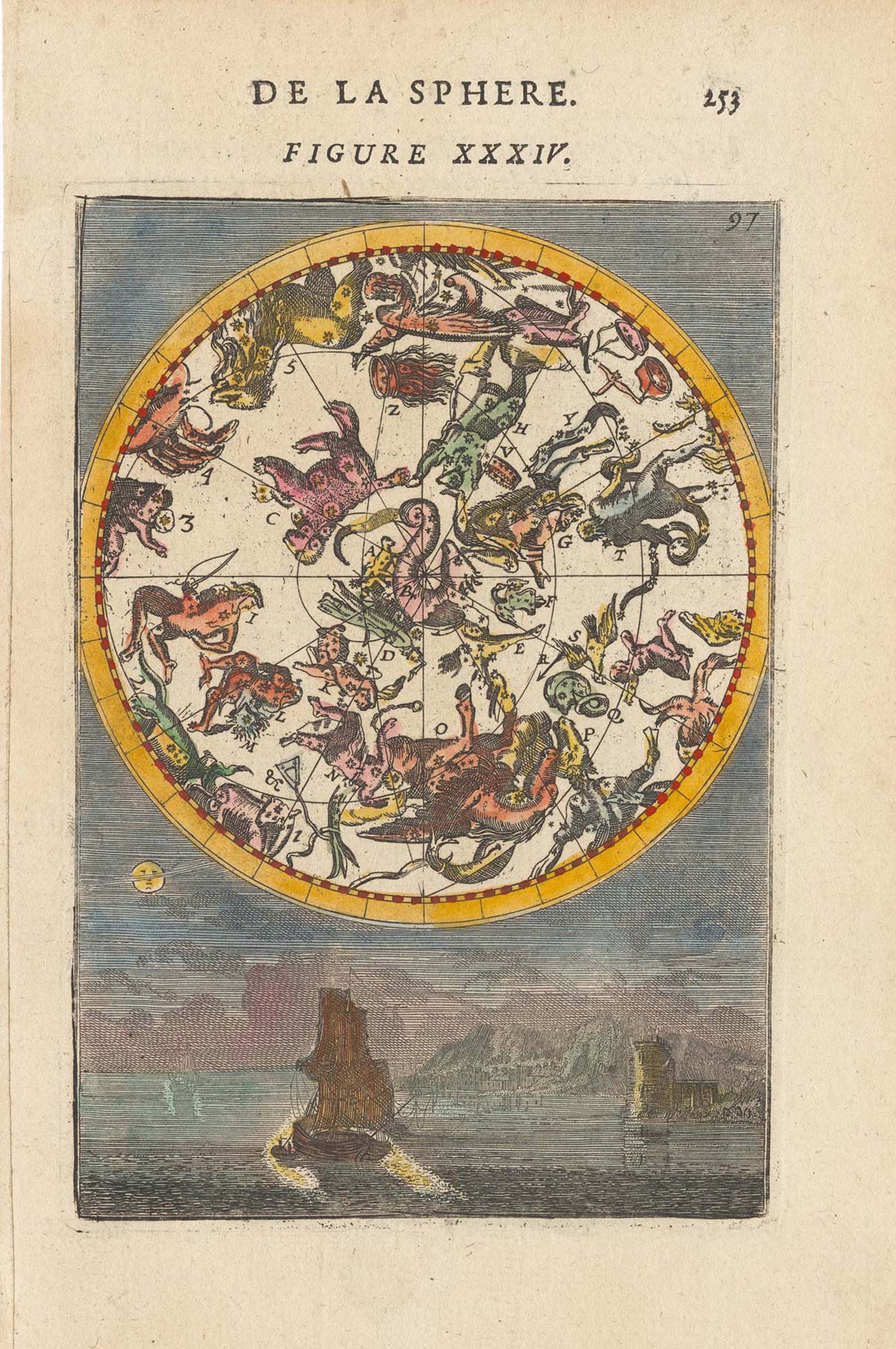
17th century plate illustrating the Constellations
MALLET, Alain Manesson. Date: 1683 Stock #: 25371 £225.00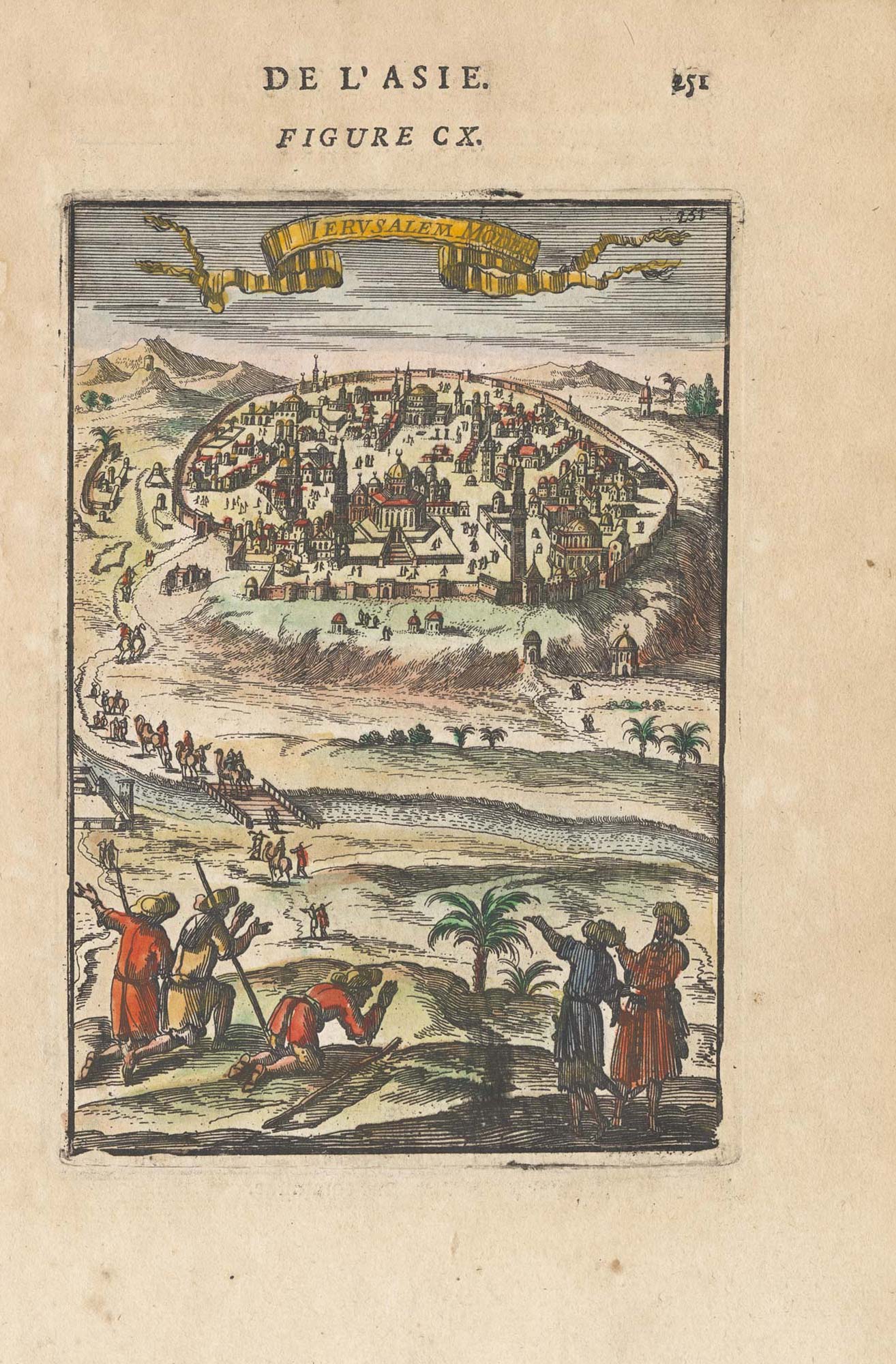
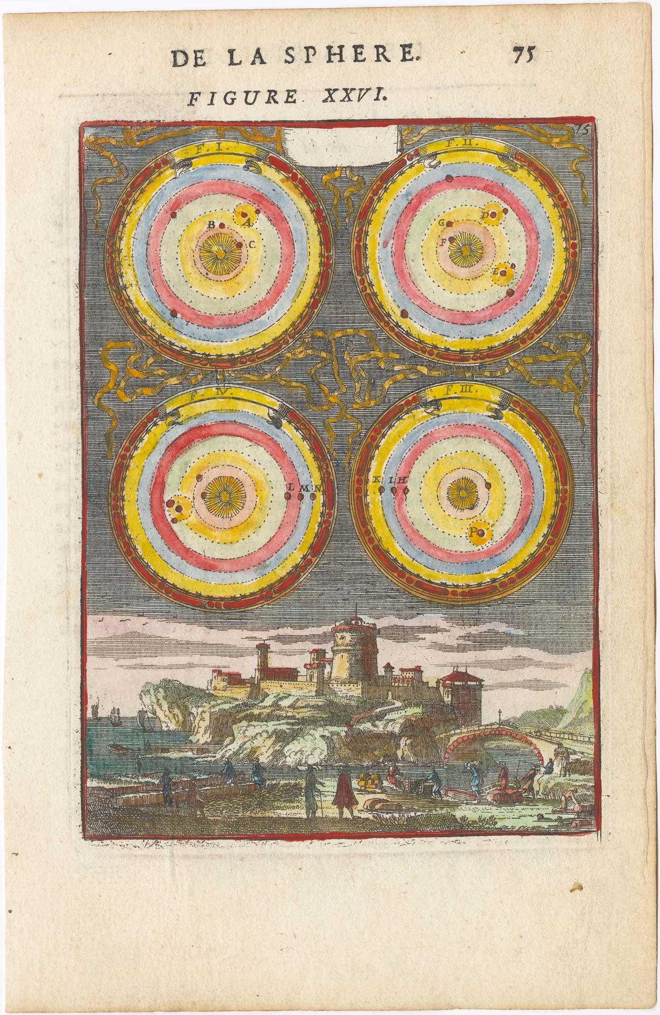
Copernicus Heliocentric Model: Movement of the planets.
MALLET, Alain Manesson. Date: 1683 Stock #: 25387 £185.00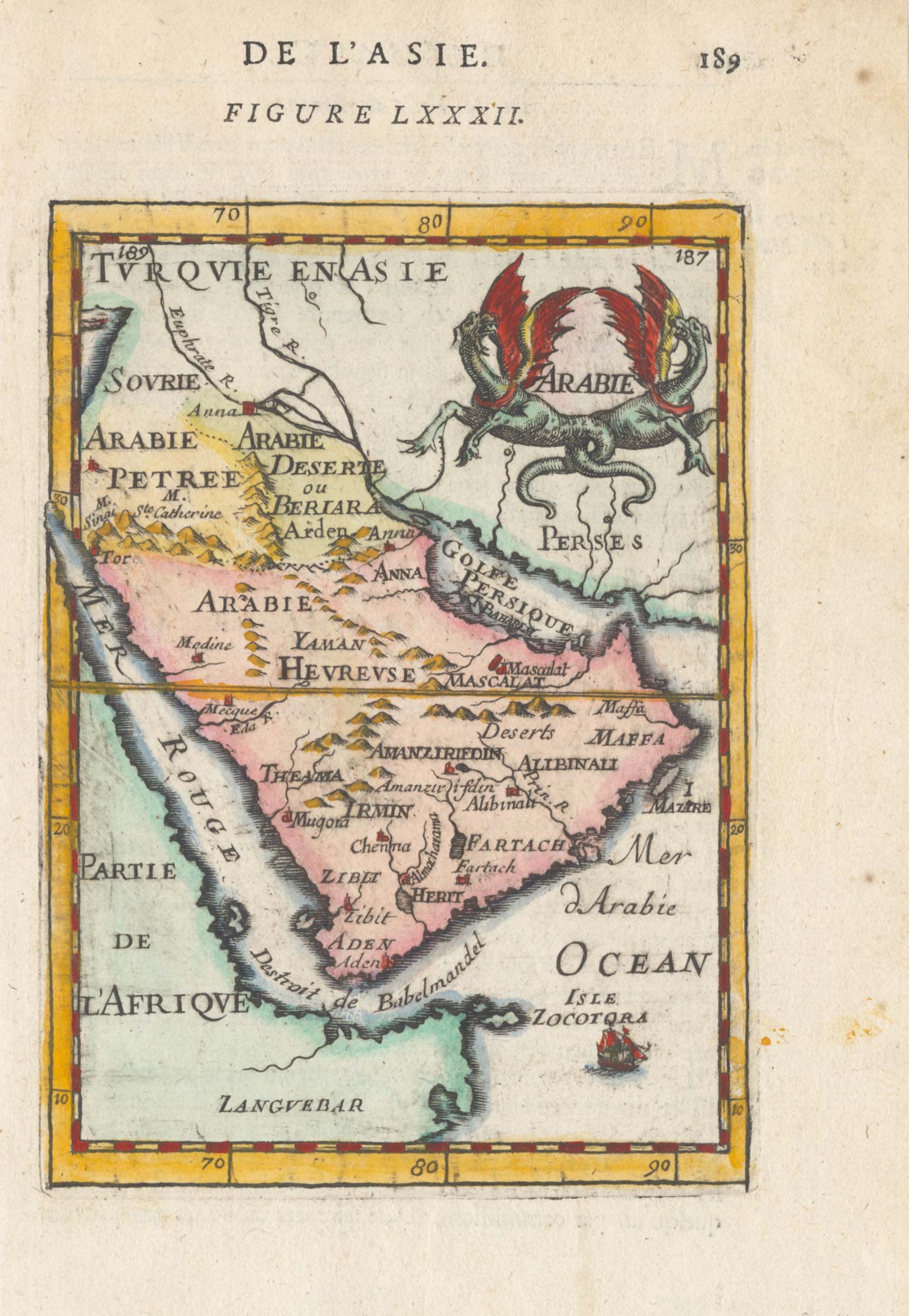
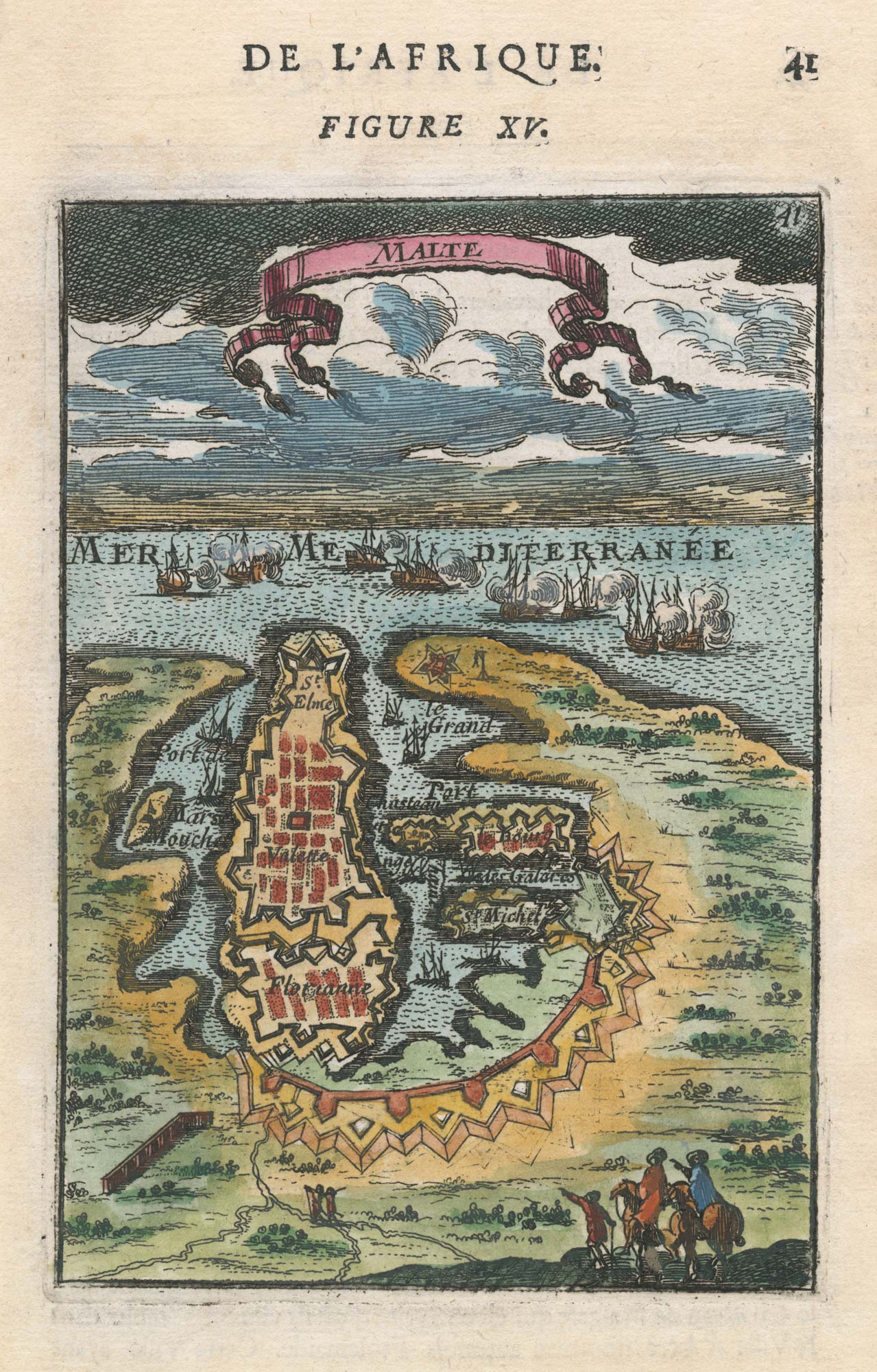
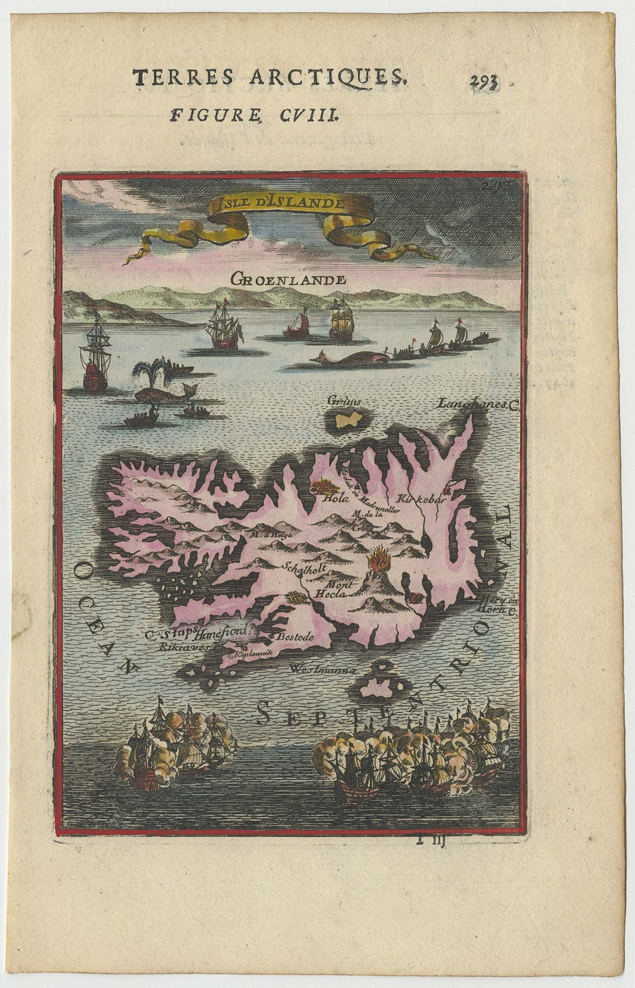
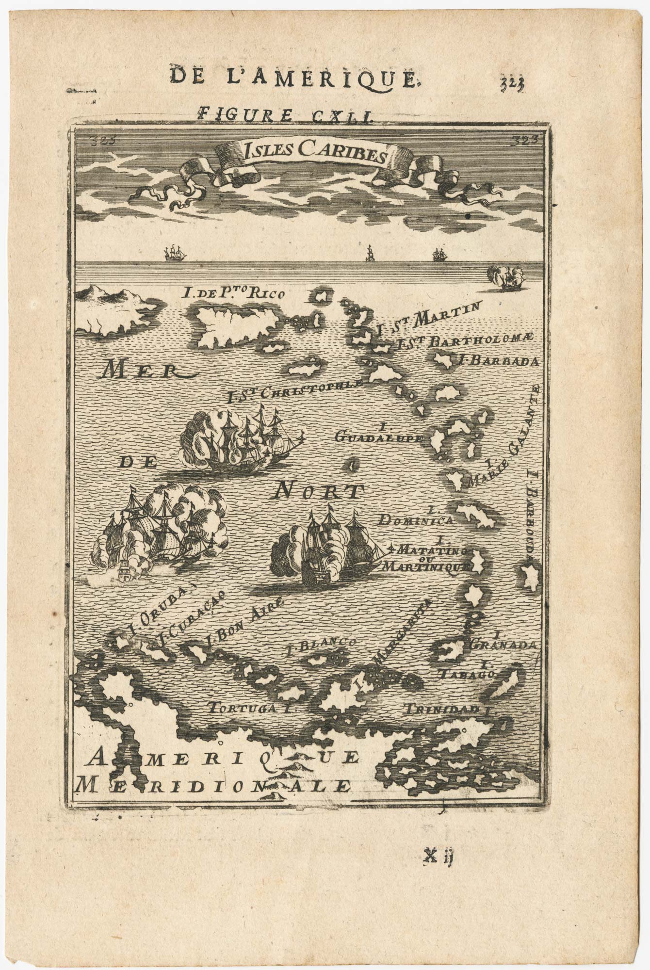
17th century miniature map of the Antilles
MALLET, Alain Manesson. Date: 1683 Stock #: 24840 £180.00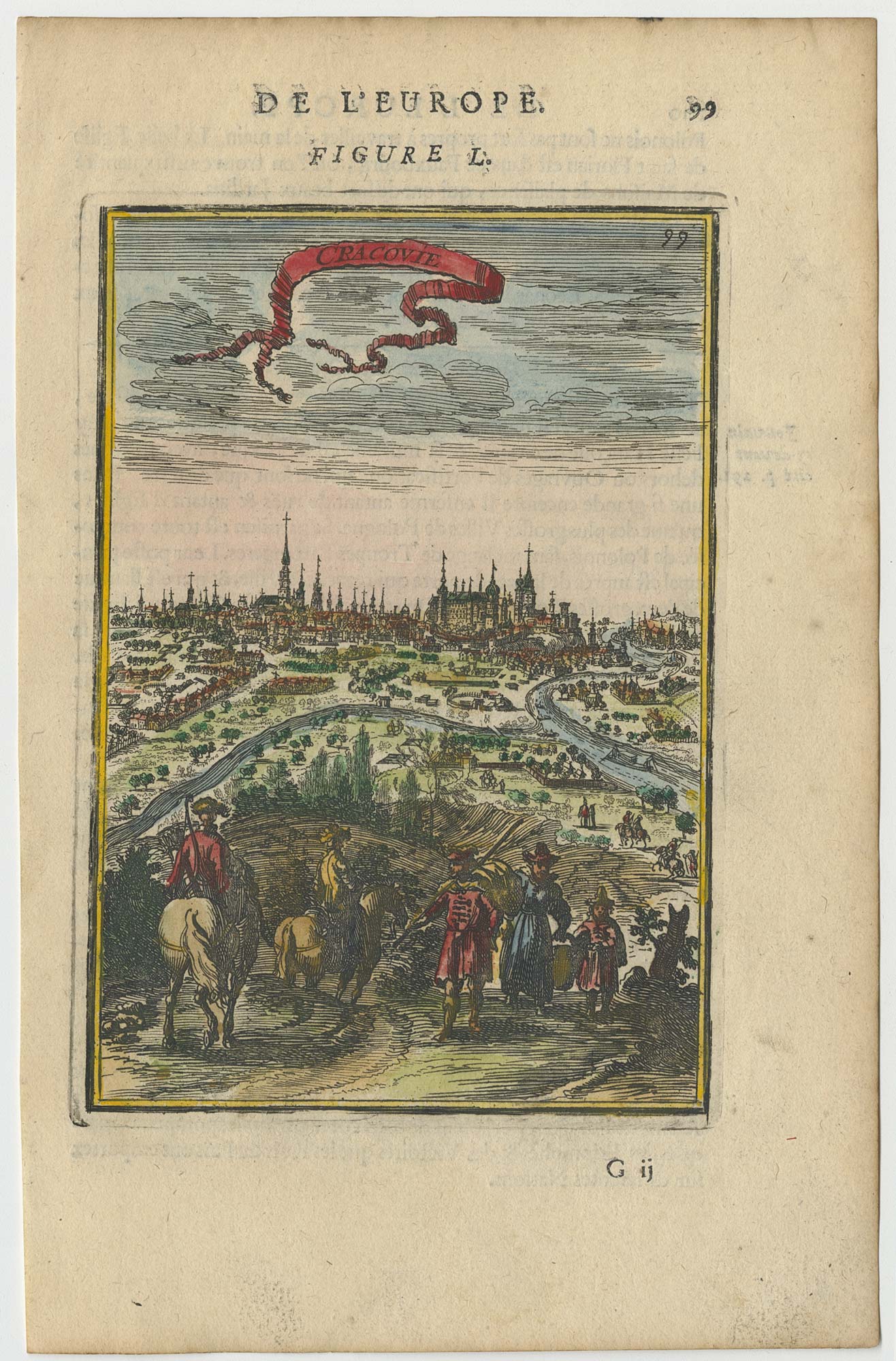
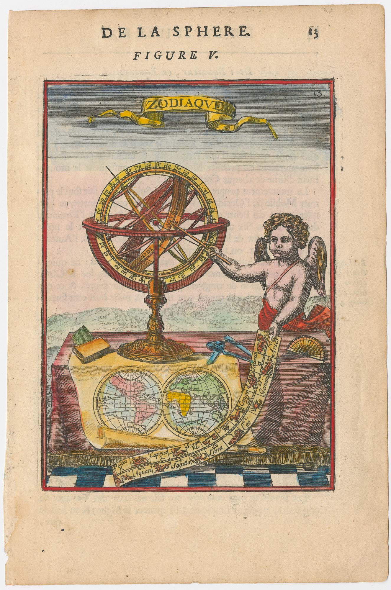
A 17th century illustration of an armillary sphere
MALLET, Alain Manesson. Date: 1683 Stock #: 23928 £180.00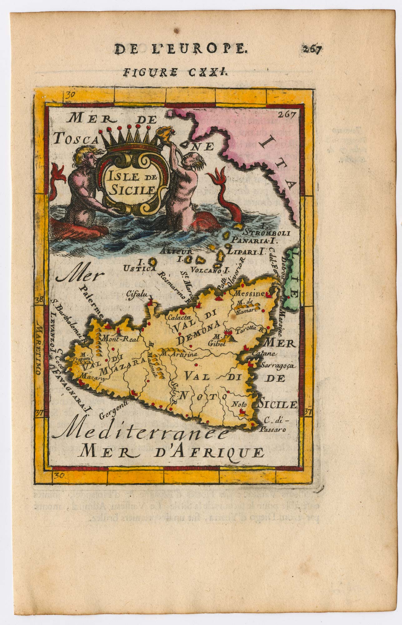
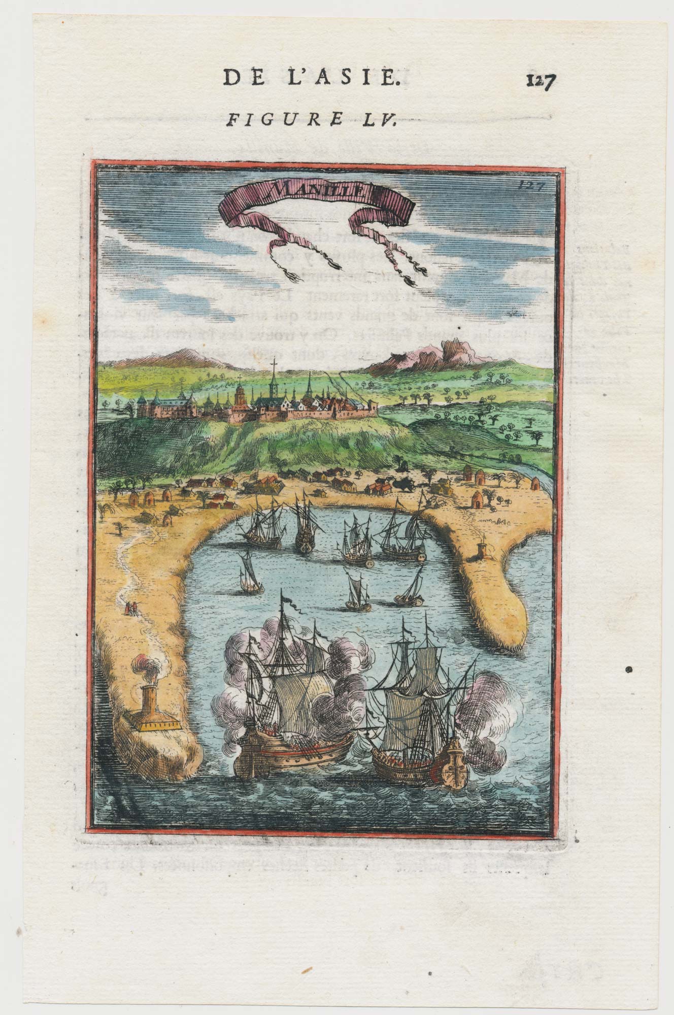
A 17th century miniature prospect of Manila
MALLET, Alain Manesson. Date: 1683 Stock #: 22333 £380.00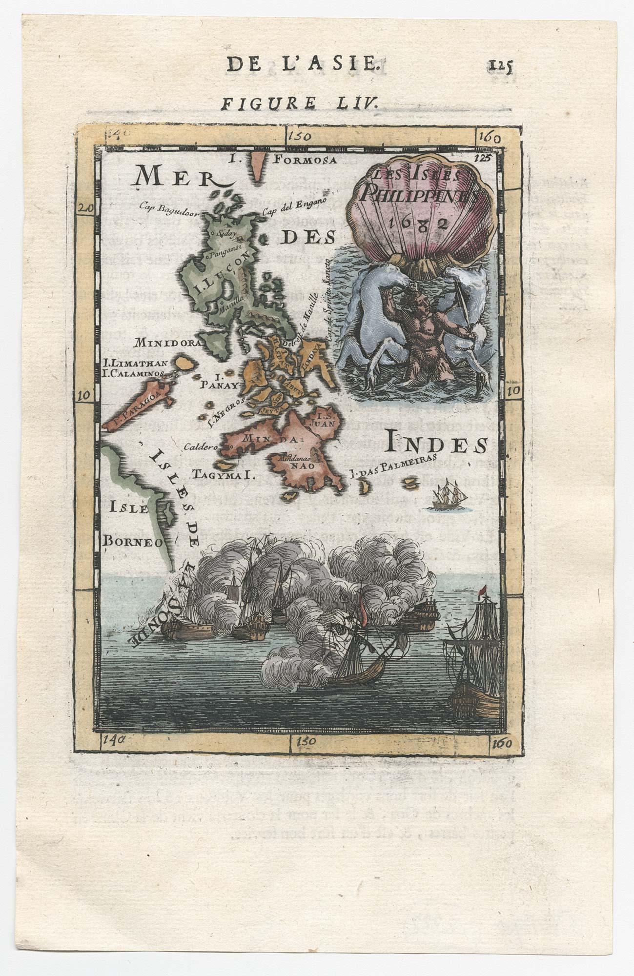
17th century miniature map of the Philippines
MALLET, Alain Manesson. Date: 1682 Stock #: 22332 £450.00