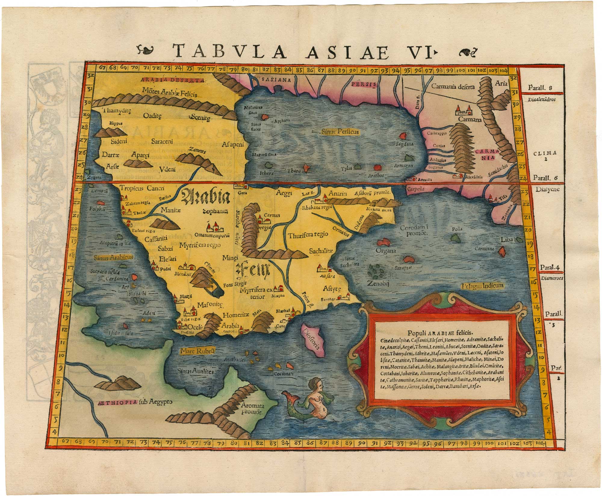


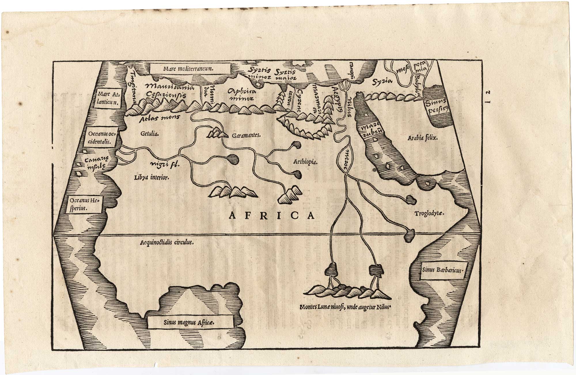
A 16th century woodcut map of Arabia according to Ptolemy
Tabula Asiae VI.
Basle: Henri Petri, c.1550 Coloured. Trapezoid woodcut, printed area 265 x 340mm.
£950.00
1 in stock
x
Question About This Item?
A 16th century woodcut map of Arabia according to Ptolemy & MUNSTER, Sebastian.Stock #: 26380"*" indicates required fields
Similar to Sell?
Add to Wishlist
Add to Wishlist
Description
Munster's map of Arabia and the Persian Gulf, in the Ptolemaic style, depicting a list of the tribes of the peninsula within a frame and a mermaid in the sea. On verso is a Latin text surrounded by a very decorative woodcut panel.
Condition:
A very fine example.Related products
-

A rare 16th century map of the Middle East
DE JODE, Gerard. Date: 1593Stock #: 25765 £6,500.00 -

A 16th century miniature map of the Persian Gulf
LANGENES, Barent. Date: 1599Stock #: 21267 £340.00 -

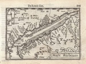
A 16th century miniature map of the Red Sea
LANGENES, Barent. Date: 1599Stock #: 21265 £280.00 -

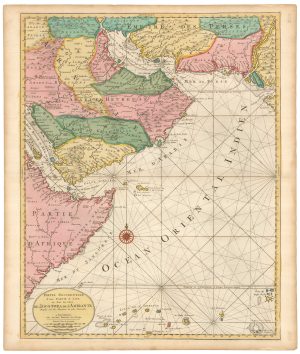
A detailed sea chart of the westerrn Indian Ocean
MORTIER, Pierre. Date: 1705Stock #: 25817 £950.00 -

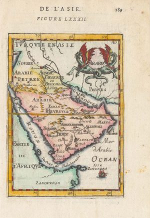
17th century miniature map of Arabia
MALLET, Alain Manesson. Date: 1683Stock #: 25382 £200.00 -
![[Untitled Near East gore sheet]. by CORONELLI, Vincenzo Maria., 1690.](data:image/svg+xml,%3Csvg%20xmlns='http://www.w3.org/2000/svg'%20viewBox='0%200%20300%20658'%3E%3C/svg%3E)
A 17th century globe gore of eastern Europe and the Middle East
CORONELLI, Vincenzo Maria. Date: 1690Stock #: 25892 £980.00 -
![[Sexta Asie Tabula.] by PTOLEMY, Claudius., 1482.](data:image/svg+xml,%3Csvg%20xmlns='http://www.w3.org/2000/svg'%20viewBox='0%200%20300%20225'%3E%3C/svg%3E)
An incunable map of Arabia with lapis lazuli blue
PTOLEMY, Claudius. Date: 1482Stock #: 23380 Price on Application -

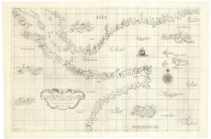
A 17th century sea chart of the Gulf of Aden in Dudley’s unique style
DUDLEY, Robert. Date: 1646Stock #: 23592 £3,250.00 -

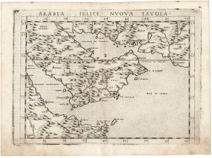
16th century Italian map of Arabia
RUSCELLI, Girolamo. Date: 1562Stock #: 25732 £500.00
![[Untitled Near East gore sheet]. by CORONELLI, Vincenzo Maria., 1690.](https://altea-gallery-cdn.s3.eu-west-2.amazonaws.com/wp-content/uploads/2025/09/27113030/alteashop_25892-300x658.jpg)
![[Sexta Asie Tabula.] by PTOLEMY, Claudius., 1482.](https://altea-gallery-cdn.s3.eu-west-2.amazonaws.com/wp-content/uploads/2025/05/13152656/alteashop_23380-300x225.jpg)
Items by the same author
Add to Wishlist
Add to Wishlist
Add to Wishlist
Add to Wishlist

Add to Wishlist
Add to Wishlist
Add to Wishlist
Add to Wishlist
Add to Wishlist
Add to Wishlist
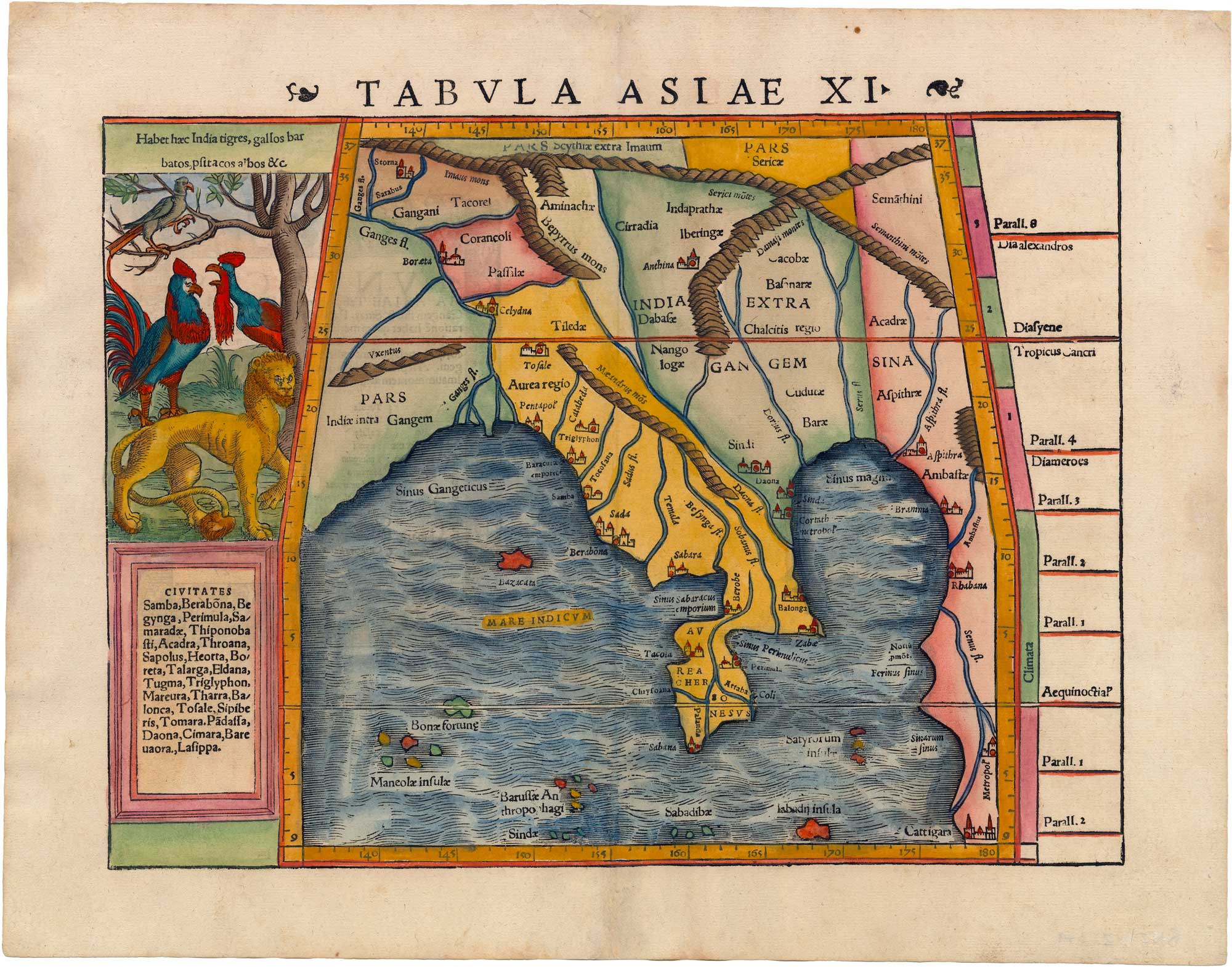
A 16th century map of Burma and the Malay Peninsula according to Ptolemy
MUNSTER, Sebastian. Date: 1550 Stock #: 26379 £680.00
Add to Wishlist
Add to Wishlist