

Munster’s first printed map of Africa
[Africa]
Basel, Heinrich Petri,1538. Woodcut. 160 x 235mm.
£450.00
1 in stock
x
Question About This Item?
Munster’s first printed map of Africa & MUNSTER, Sebastian.Stock #: 26479"*" indicates required fields
Similar to Sell?
Add to Wishlist
Add to Wishlist
Description
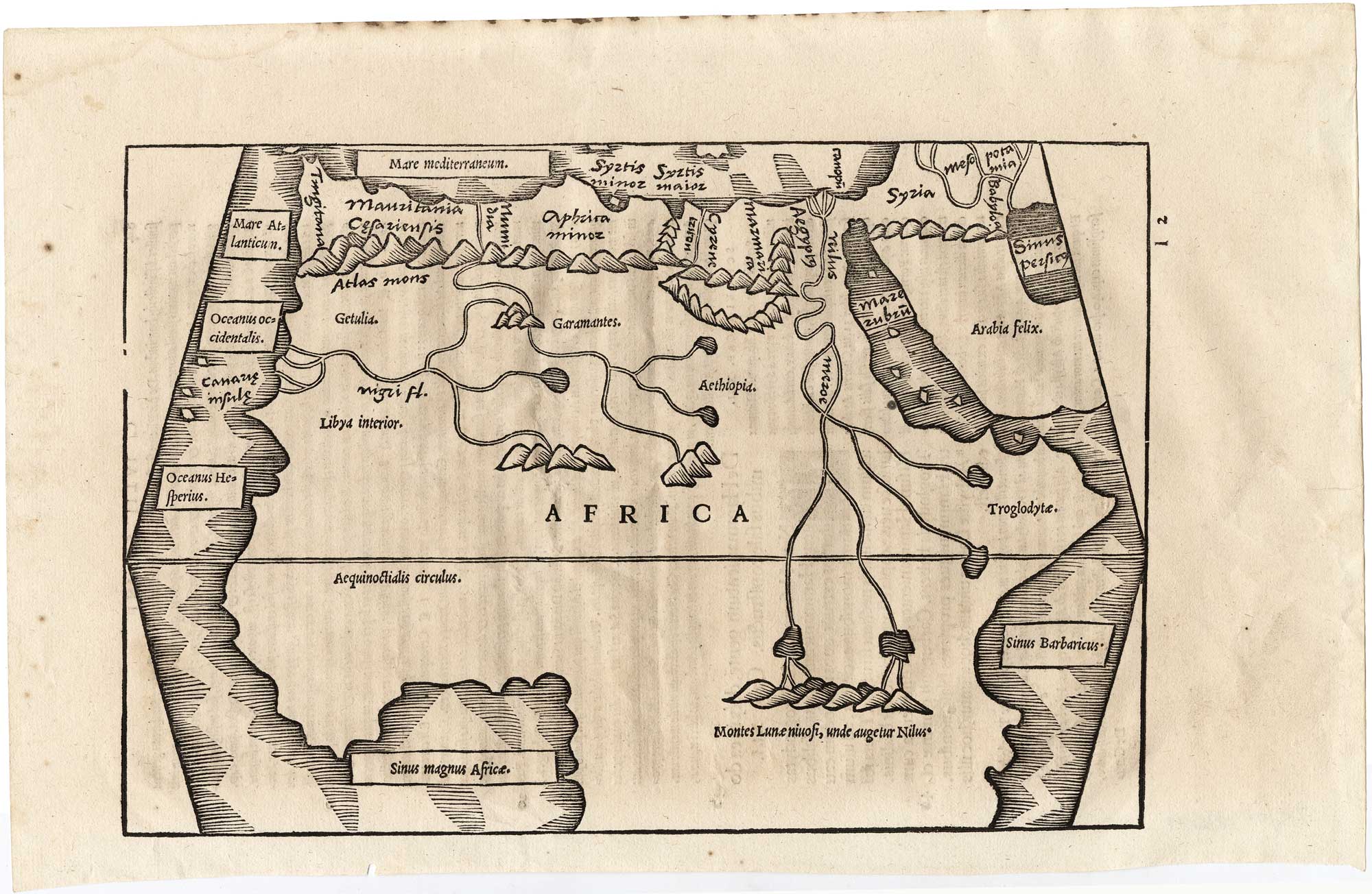
An important early woodcut map of Africa, issued in the 1538 edition of Solinus’ Polyhistor, edited and illustrated by Sebastian Münster. Based largely on the geography of Claudius Ptolemy, the map presents the continent in trapezoidal projection.
Among its most notable features are the prominently depicted Mountains of the Moon (Montes Lunae), shown as the source of the Nile, together with a westward-flowing Niger River.
The map is regarded as Münster’s earliest printed map of Africa, predating his separate continental map of 1540.
Condition:
A good example.Related products
-

18th century pocket map of Africa
SEUTTER, Matthaus. Date: 1760Stock #: 18937 £420.00 -

A 17th century map of Africa
VISSCHER, Nicolas. Date: 1677Stock #: 26672 £750.00 -

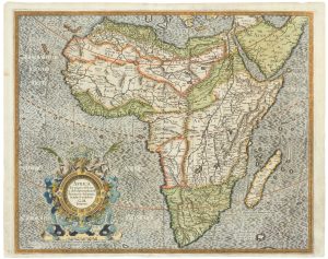
The first issue of this 16th century map of Africa
MERCATOR, Gerard II. Date: 1595Stock #: 26363 £2,000.00 -

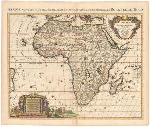
A Dutch pirated edition of a 17th century French map
MORTIER, Pierre. Date: 1694Stock #: 23096 £780.00 -

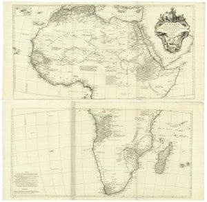
A Venetian edition of D’Anville’s wall map of Africa
ANVILLE, Jean Baptiste B. D'. Date: 1780Stock #: 21916 £1,400.00 -

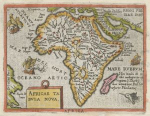
An Italian pirate of the miniature Ortelius map of Africa
ORTELIUS, Abraham. Date: 1667Stock #: 26469 £230.00 -

18th century map of Africa
CHATELAIN, Henri Abraham. Date: 1721Stock #: 22177 £450.00 -

Early 18th century maps of Asia and Africa
SCHERER, Heinrich. Date: 1700Stock #: 21194 £250.00 -

A scarce French map of Africa
DANET, Guillaume. Date: 1760Stock #: 16496 £2,200.00

Items by the same author
Add to Wishlist
Add to Wishlist
Add to Wishlist
Add to Wishlist

Add to Wishlist
Add to Wishlist
Add to Wishlist
Add to Wishlist
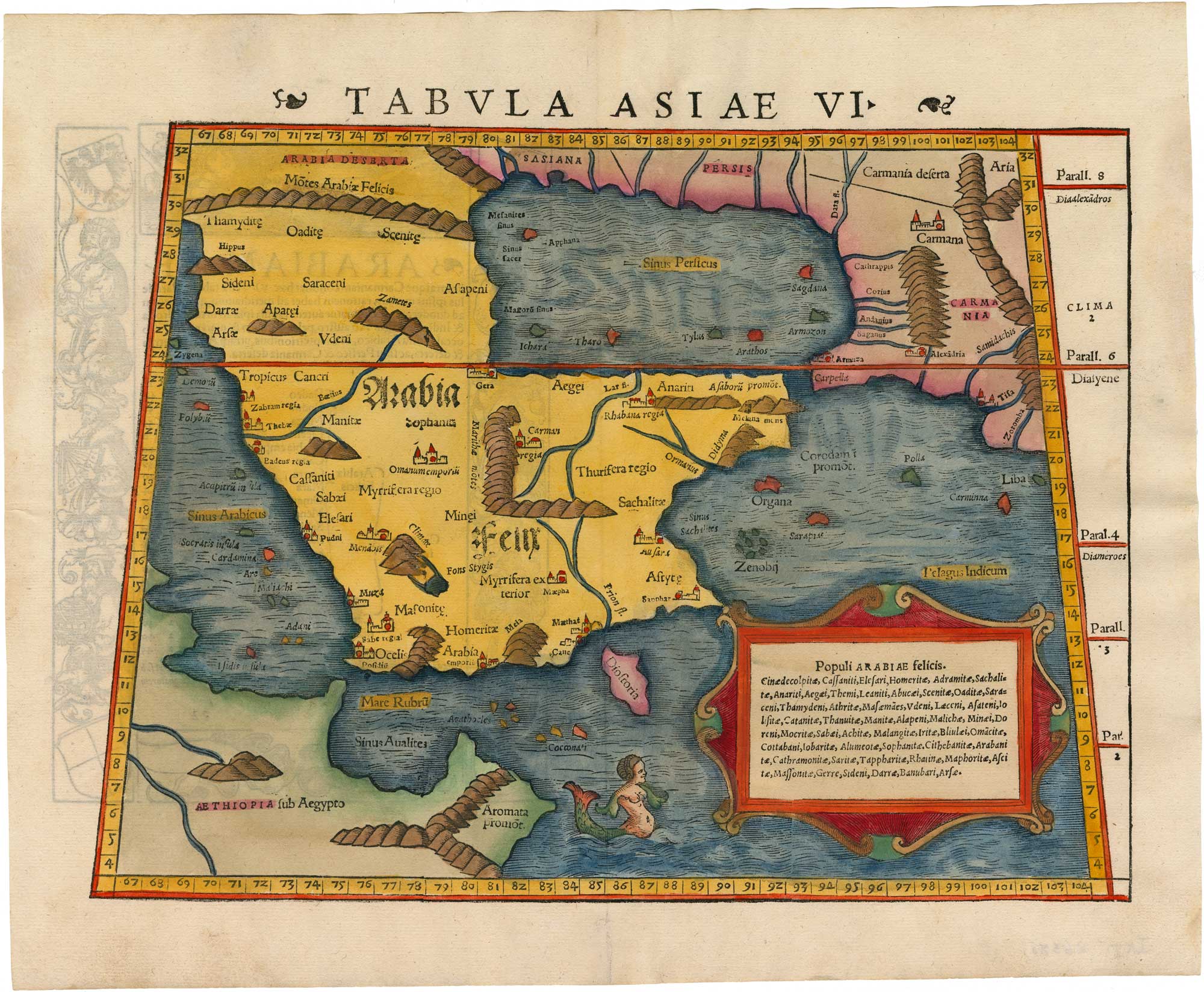
A 16th century woodcut map of Arabia according to Ptolemy
MUNSTER, Sebastian. Date: 1550 Stock #: 26380 £950.00
Add to Wishlist
Add to Wishlist
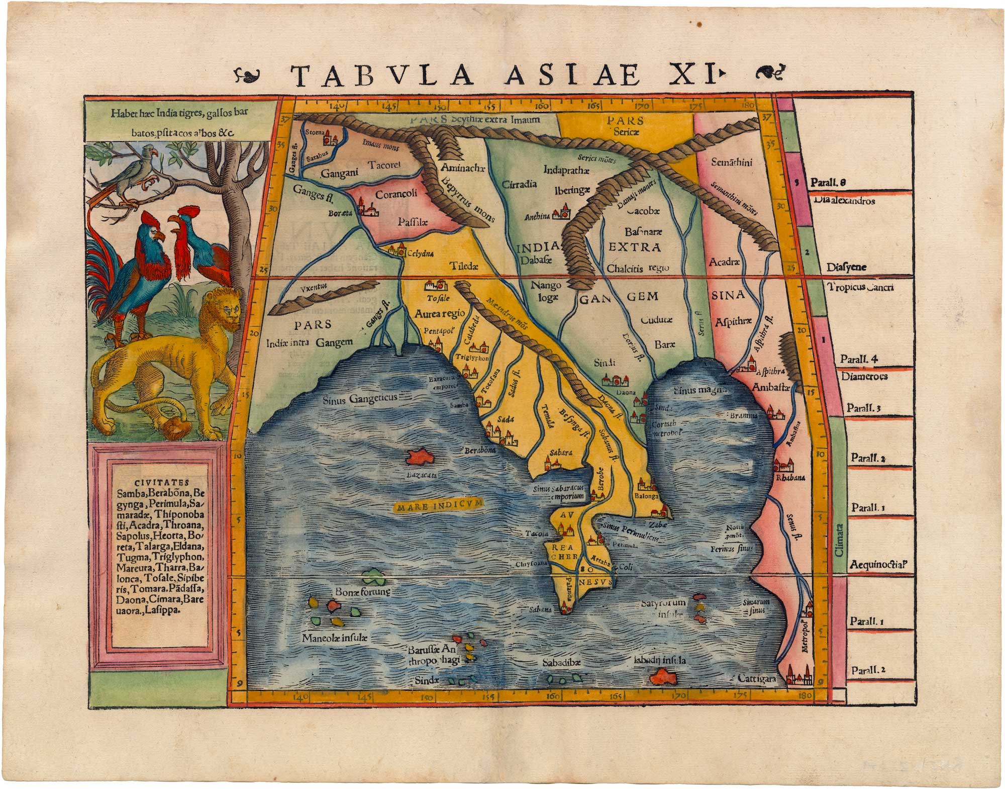
A 16th century map of Burma and the Malay Peninsula according to Ptolemy
MUNSTER, Sebastian. Date: 1550 Stock #: 26379 £680.00
Add to Wishlist
Add to Wishlist