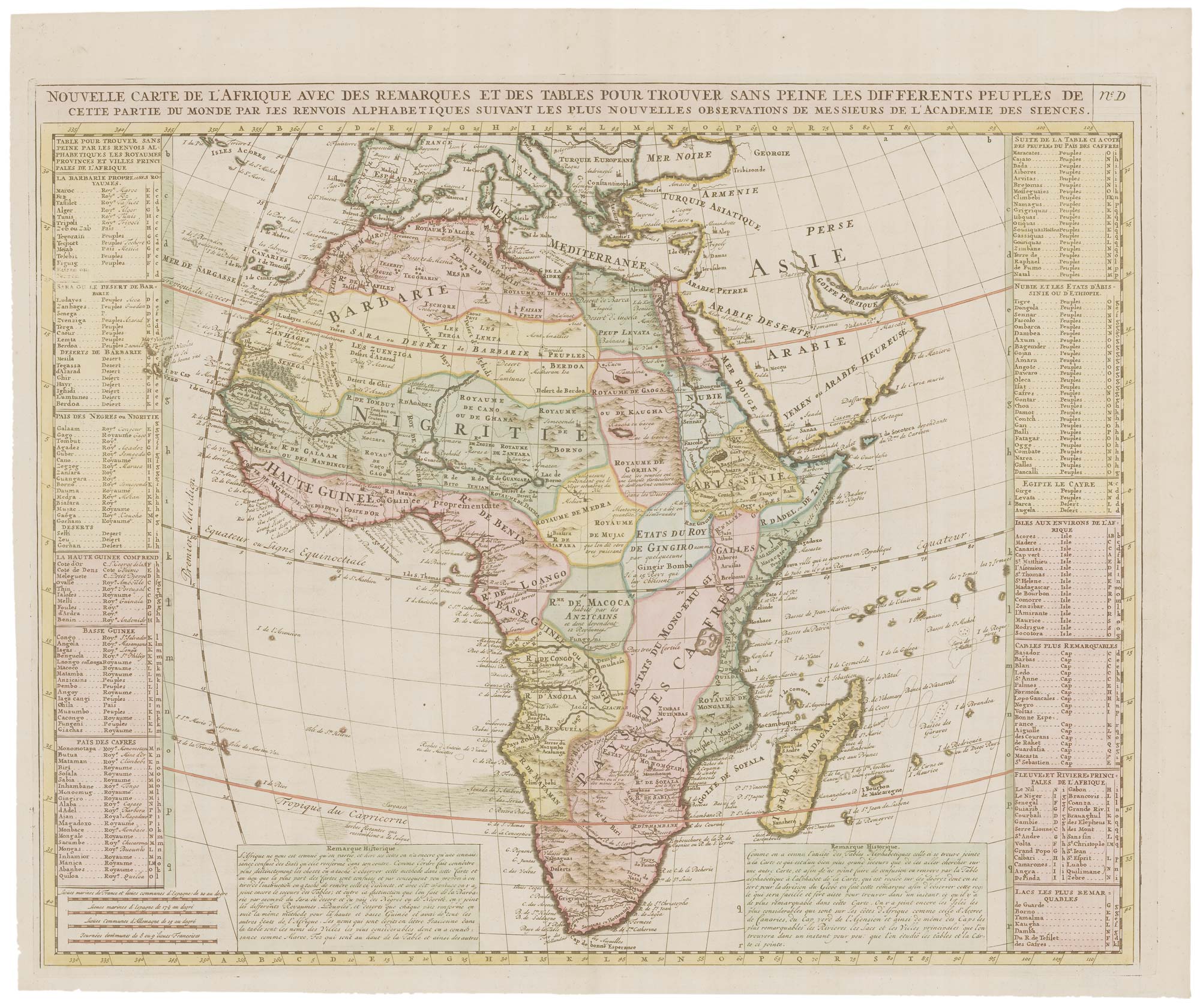


18th century map of Africa
Nouvelle Carte d'Afrique...
Amsterdam, 1721. Coloured. 480 x 590mm.
£450.00
1 in stock
x
Question About This Item?
18th century map of Africa & CHATELAIN, Henri Abraham.Stock #: 22177"*" indicates required fields
Similar to Sell?
Add to Wishlist
Add to Wishlist
Description
Africa divided into kingdoms, with index tables down each side. From the 'Atlas Historique'.
Condition:
A good example.Related products
-

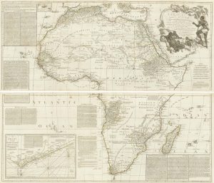
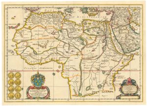
Two-sheet map of Africa
JAILLOT, Alexis-Hubert. Date: 1705Stock #: 24063 £1,200.00 -

An 18th century map of Africa by Cassini
CASSINI, Giovanni Maria. Date: 1788Stock #: 26128 £450.00 -

An 18th century wall map of Africa
ANVILLE, Jean Baptiste B. D'. Date: 1772Stock #: 22567 £1,800.00 -

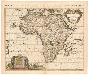
A Dutch pirated edition of a 17th century French map
MORTIER, Pierre. Date: 1694Stock #: 23096 £780.00 -

Africa from the first English Edition of the ‘Atlas Minor’
HONDIUS, Jodocus. Date: 1635Stock #: 22386 £300.00 -

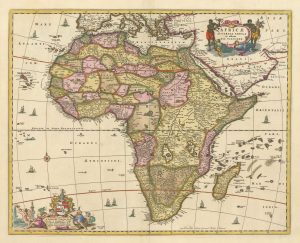
A 17th century map of Africa
VISSCHER, Nicolas. Date: 1677Stock #: 26672 £750.00 -

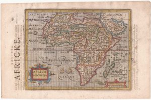
An Italian pirate of the miniature Ortelius map of Africa
ORTELIUS, Abraham. Date: 1667Stock #: 26469 £230.00 -

A scarce historical map of Africa
BLANKAARD, Nicolas. Date: 1662Stock #: 24903 £650.00 -

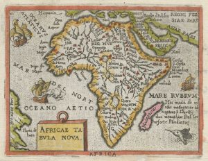
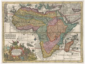
18th century pocket map of Africa
SEUTTER, Matthaus. Date: 1760Stock #: 18937 £420.00
Items by the same author
Add to Wishlist
Add to Wishlist
Add to Wishlist
Add to Wishlist
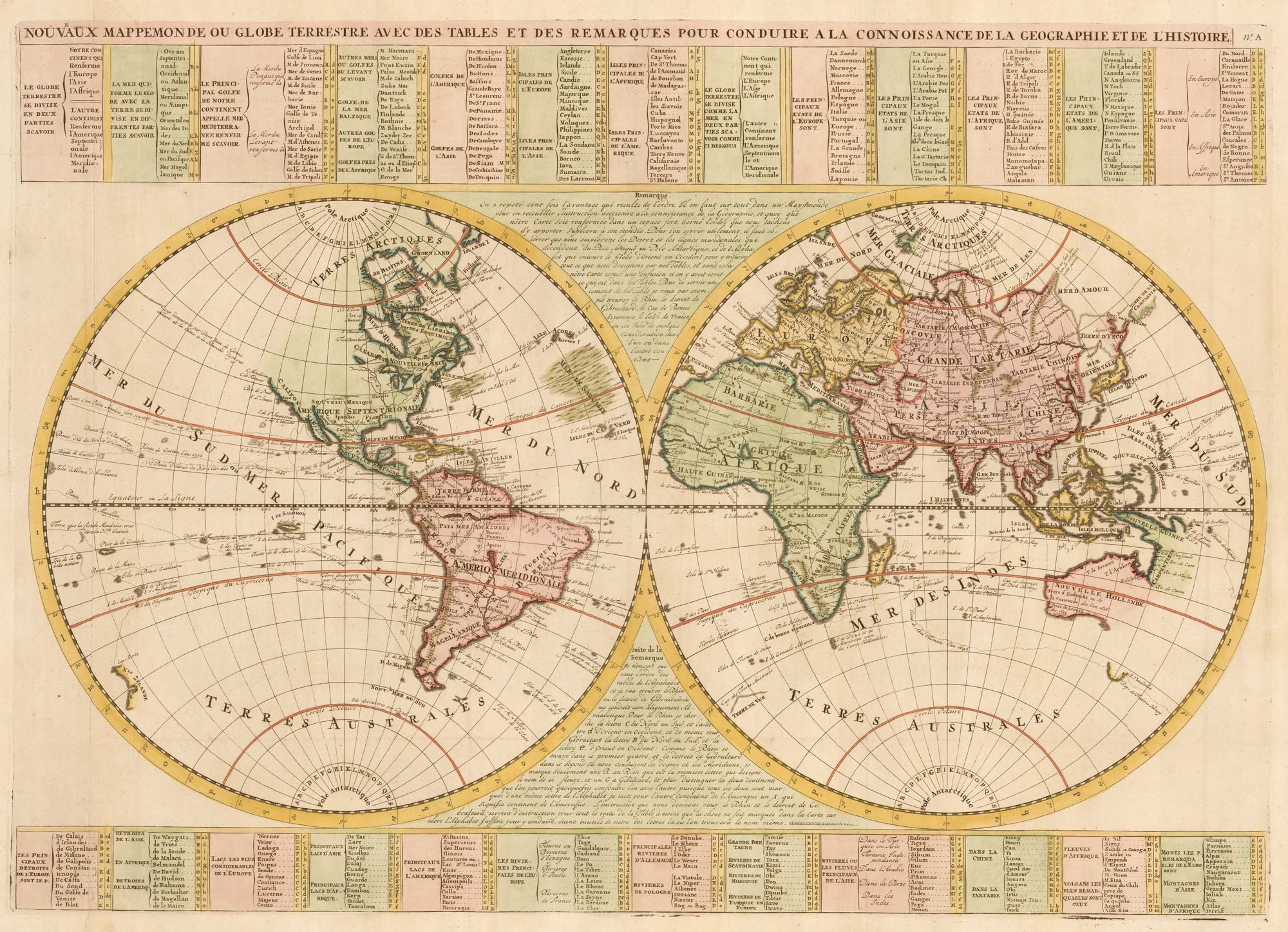
An 18th century double-hemisphere world map
CHATELAIN, Henri Abraham. Date: 1718 Stock #: 23390 £1,000.00
Add to Wishlist
Add to Wishlist
Add to Wishlist
Add to Wishlist
Add to Wishlist
Add to Wishlist
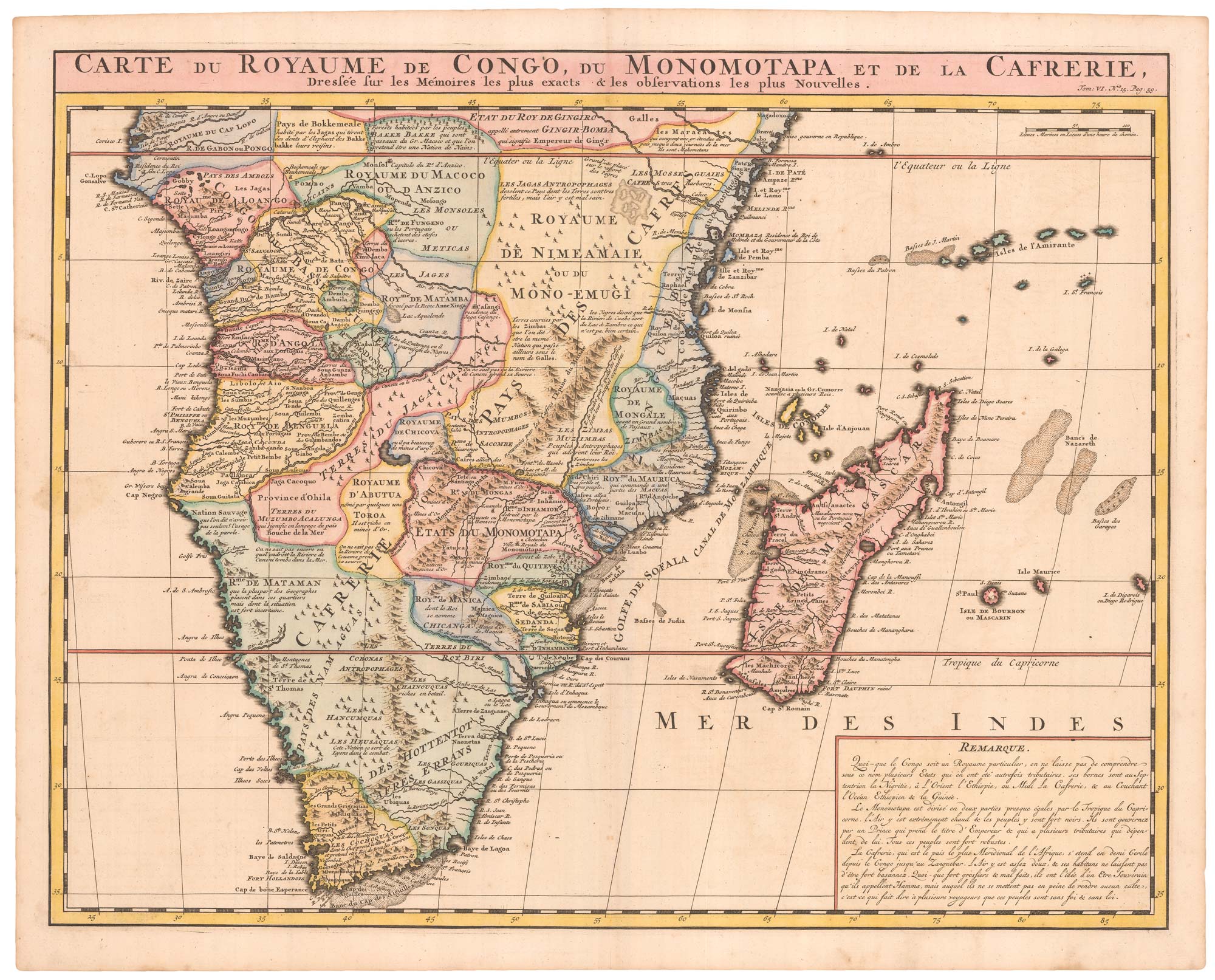
An 18th century map of Africa below the Equator
CHATELAIN, Henri Abraham. Date: 1720 Stock #: 22880 £380.00
Add to Wishlist
Add to Wishlist