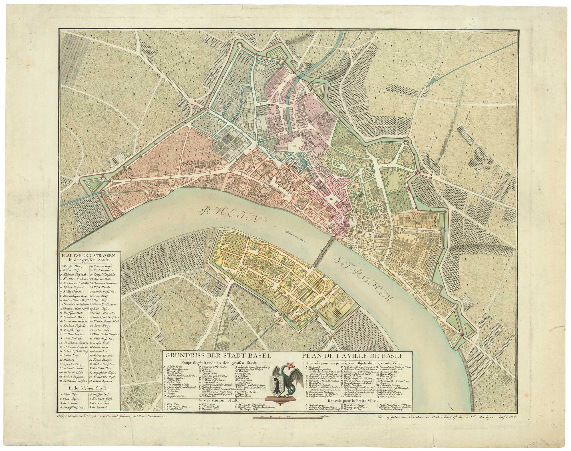


A detailed 18th century plan of Basle
Grundriss der Stadt Basel. Plan de la Ville de Basle.
Basel: Christian von Mechel, 1786. Original colour. 440 x 530mm.
£900.00
1 in stock
x
Question About This Item?
A detailed 18th century plan of Basle & RYHINER, Samuel.Stock #: 26601"*" indicates required fields
Similar to Sell?
Add to Wishlist
Add to Wishlist
Description
A detailed plan of Basle, surveyed in 1784by military engineer Samuel Ryhiner (1748-86). A the cemter of the bottom key ther is a dragon like creature holding the arms of the city.
Condition:
Small tears in margins repaired..Related products
-

A scarce carte-à-figures map of Switzerland
HONDIUS, Jodocus II. Date: 1617Stock #: 26504 £2,000.00 -

A 16th century town plan of Geneva
VALEGIO, Francesco. Date: 1598Stock #: 24206 £220.00 -

A monumental 18th century wall map of Switzerland on four sheets
SCHEUCHZER, Johann Jakob. Date: 1712Stock #: 24499 £6,500.00 -
![[Map of Switzerland with a Cyrillic title.] by BONNE, Rigobert., 1793.](data:image/svg+xml,%3Csvg%20xmlns='http://www.w3.org/2000/svg'%20viewBox='0%200%20300%20199'%3E%3C/svg%3E)
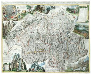
Extremely rare Russian edition of Bonne’s map of Switzerland
BONNE, Rigobert. Date: 1793Stock #: 20512 £650.00 -

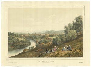
A mid-19th century view of Berne
DEROY, Isidore Laurent. Date: 1840Stock #: 21371 £750.00 -

Switzerland from the first English Edition of the ‘Atlas Minor’
HONDIUS, Jodocus II. Date: 1635Stock #: 22440 £180.00 -

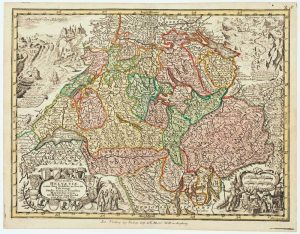
18th century map of Switzerland
SEUTTER, Matthaus. Date: 1760Stock #: 14744 £200.00 -

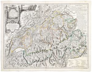
A 18th century map of Switzerland by a Swiss publisher
GRASSET, François. Date: 1769Stock #: 20832 £480.00 -

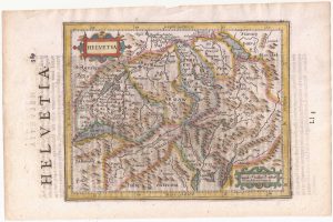
Miniature map of Switzerland
ORTELIUS, Abraham. Date: 1595Stock #: 25474 £180.00
![[Map of Switzerland with a Cyrillic title.] by BONNE, Rigobert., 1793.](https://altea-gallery-cdn.s3.eu-west-2.amazonaws.com/wp-content/uploads/2025/05/10123924/alteashop_20512-300x199.jpg)